Elevation of Perry, OK, USA
Location: United States > Oklahoma > Noble County >
Longitude: -97.288098
Latitude: 36.2894855
Elevation: 309m / 1014feet
Barometric Pressure: 98KPa
Elevation Map:
Satellite Map:
Related Photos:
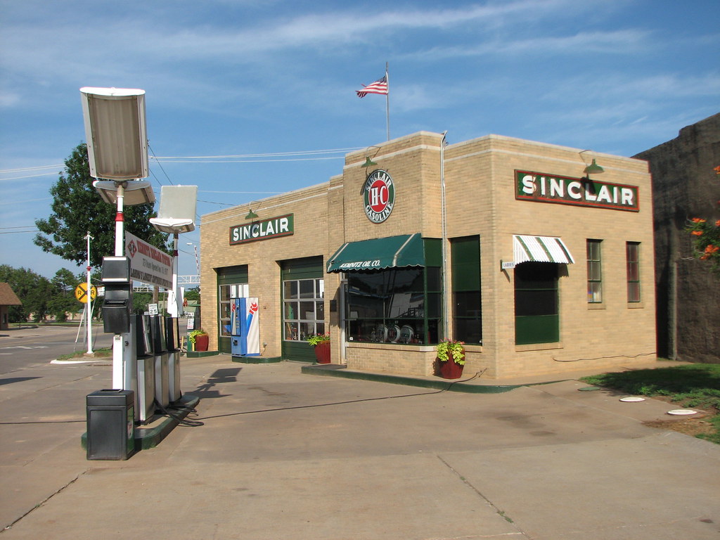
Kemnitz Sinclair-Side View
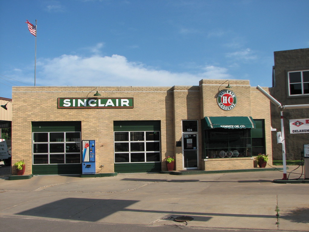
Kemnitz Station-Front View

Super 8 Motel - Perry, OK

View of Lake McMurtry from the Peninsula
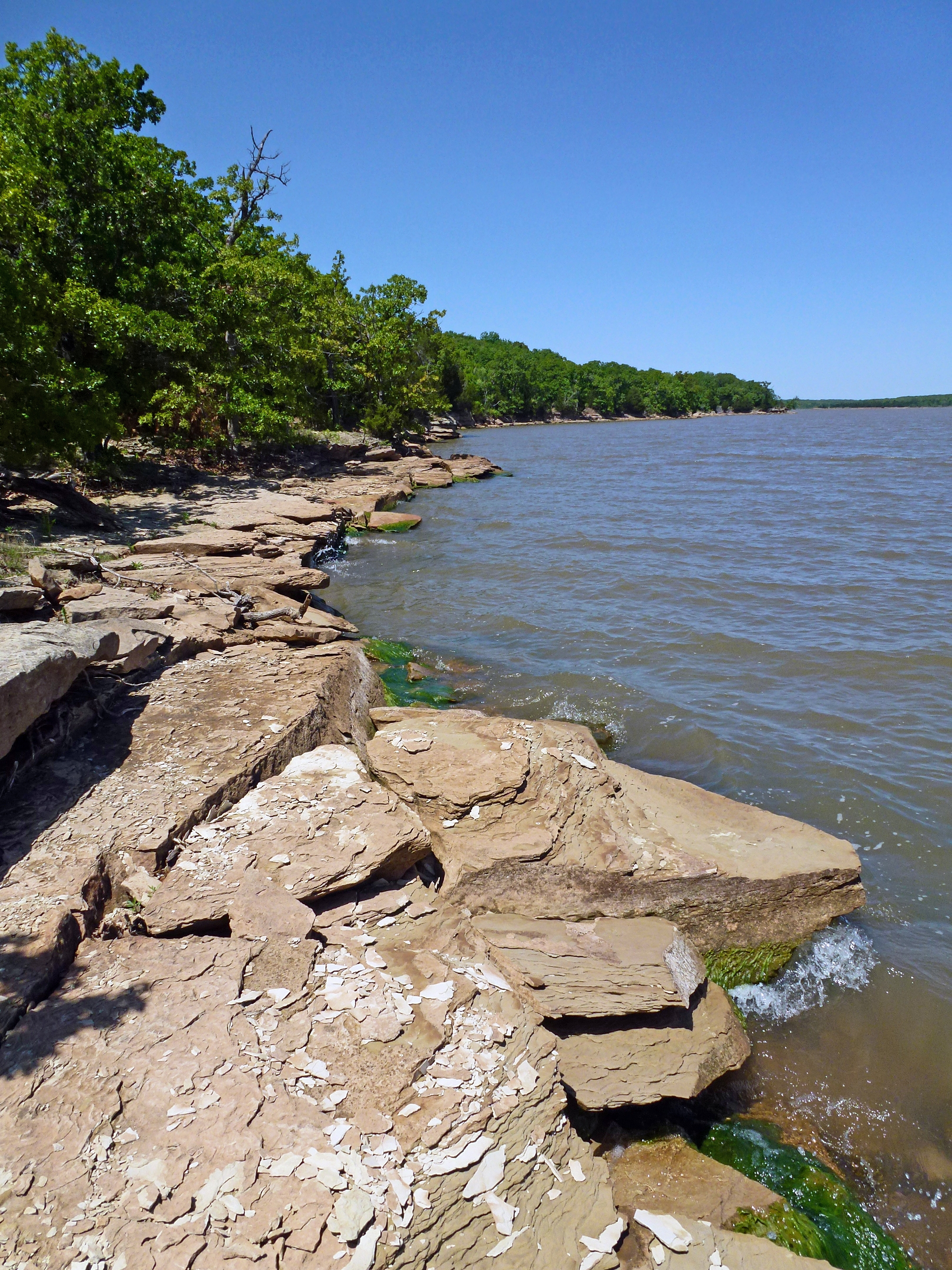
Western Shore of Lake McMurtry
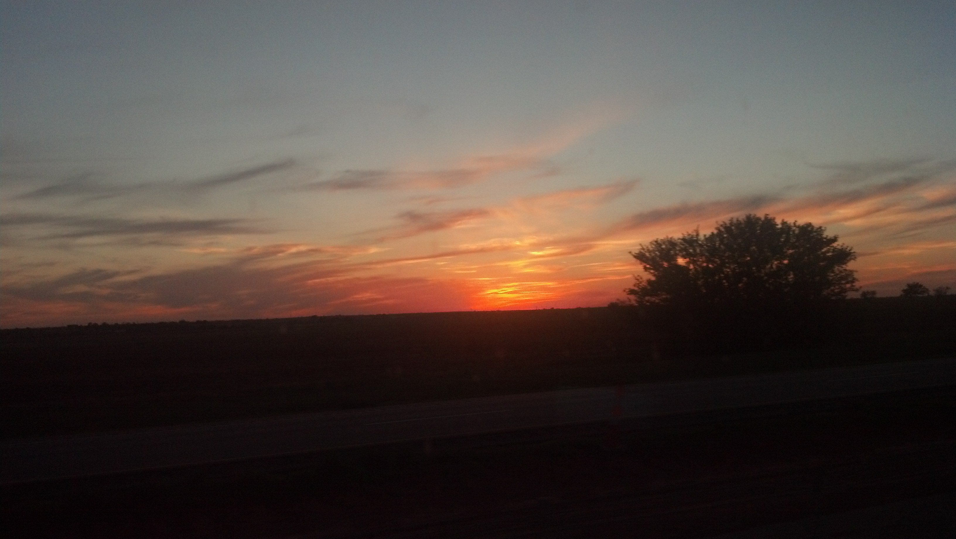
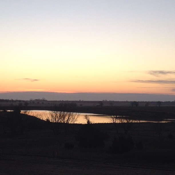
Oklahoma sunset
Perry Lake Park- Noble County OK (13)
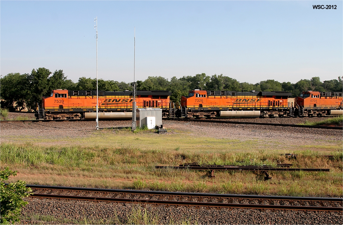
Southbound Z at "The Bear"
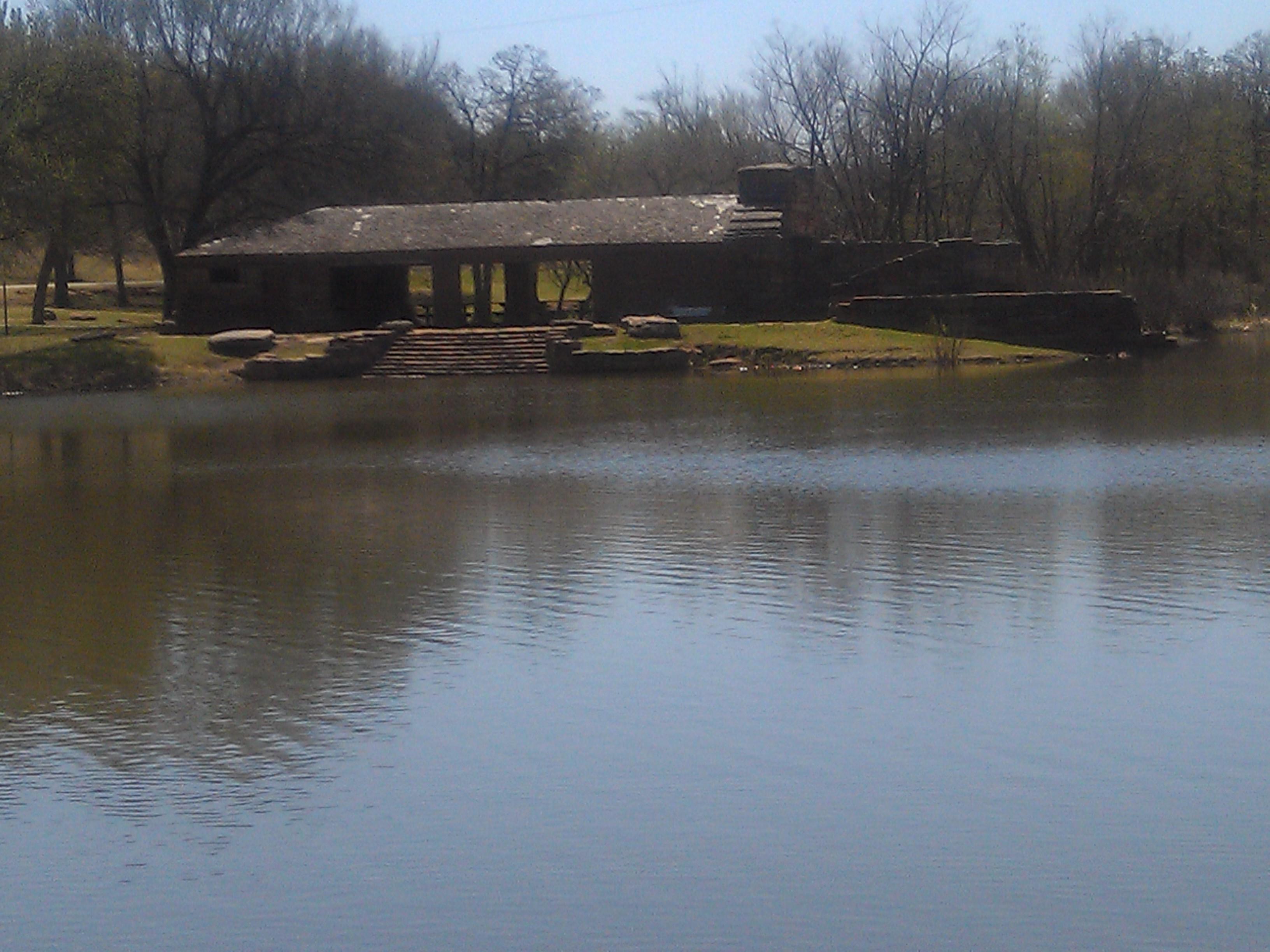
Perry Lake Park- Noble County OK (6)
Mornin' Monday #nofilternecessary
Panorama of Northwest Inlet of Lake McMurtry
Perry Lake Park- Noble County OK (2)
Up the Creek by Lake McMurtry
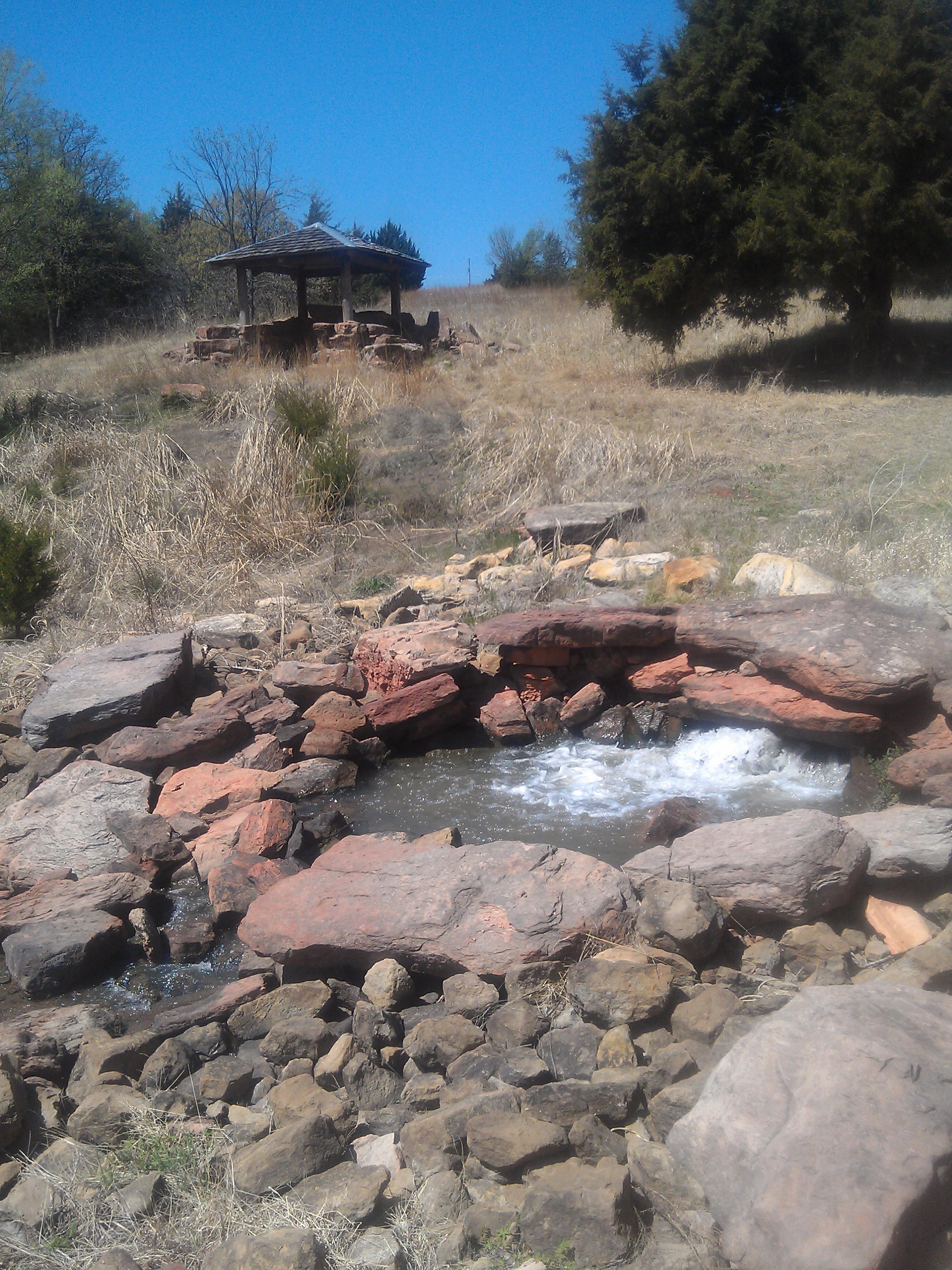
CCC Lake at Perry
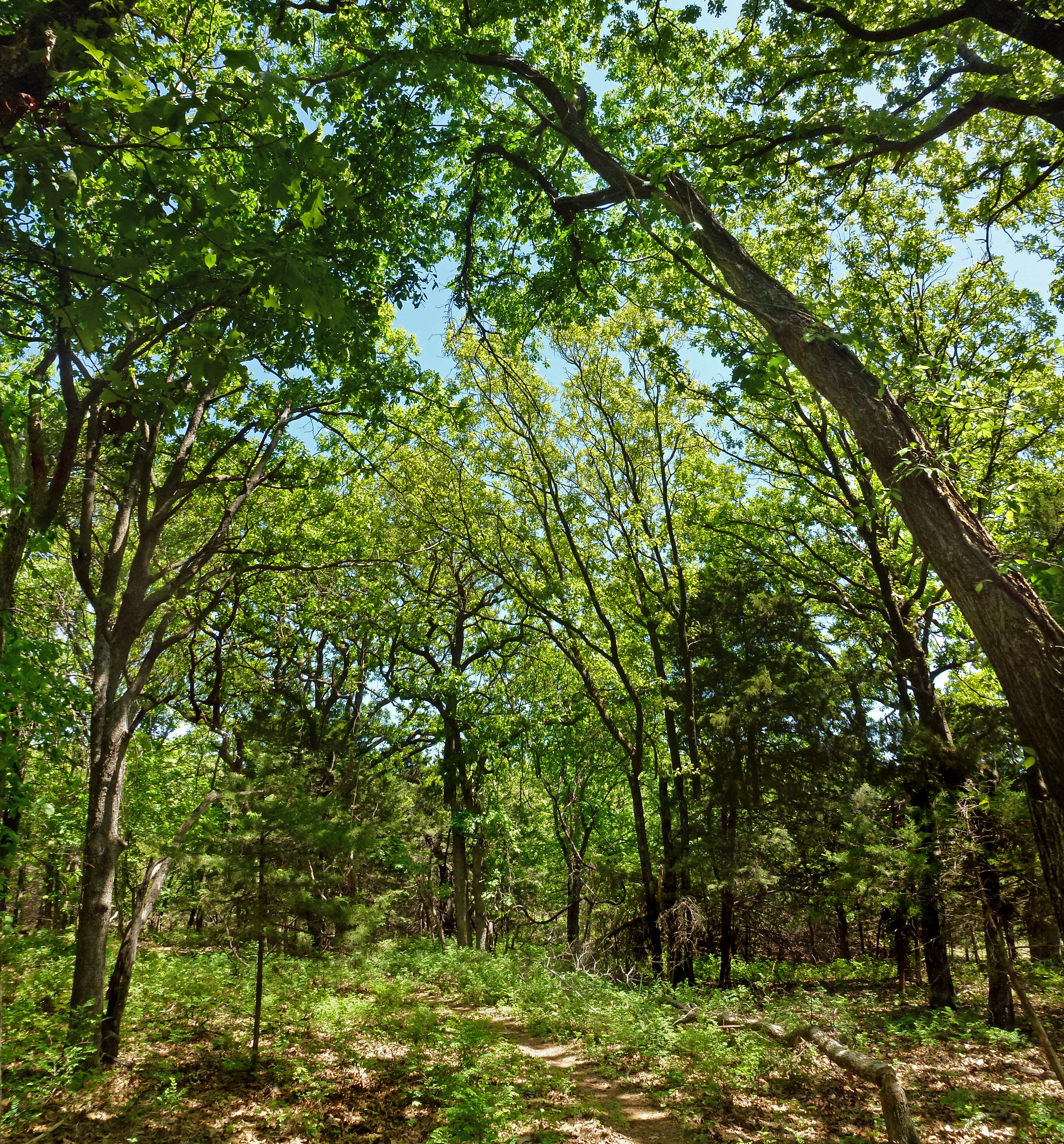
Trees Surrounding the Orange Trail
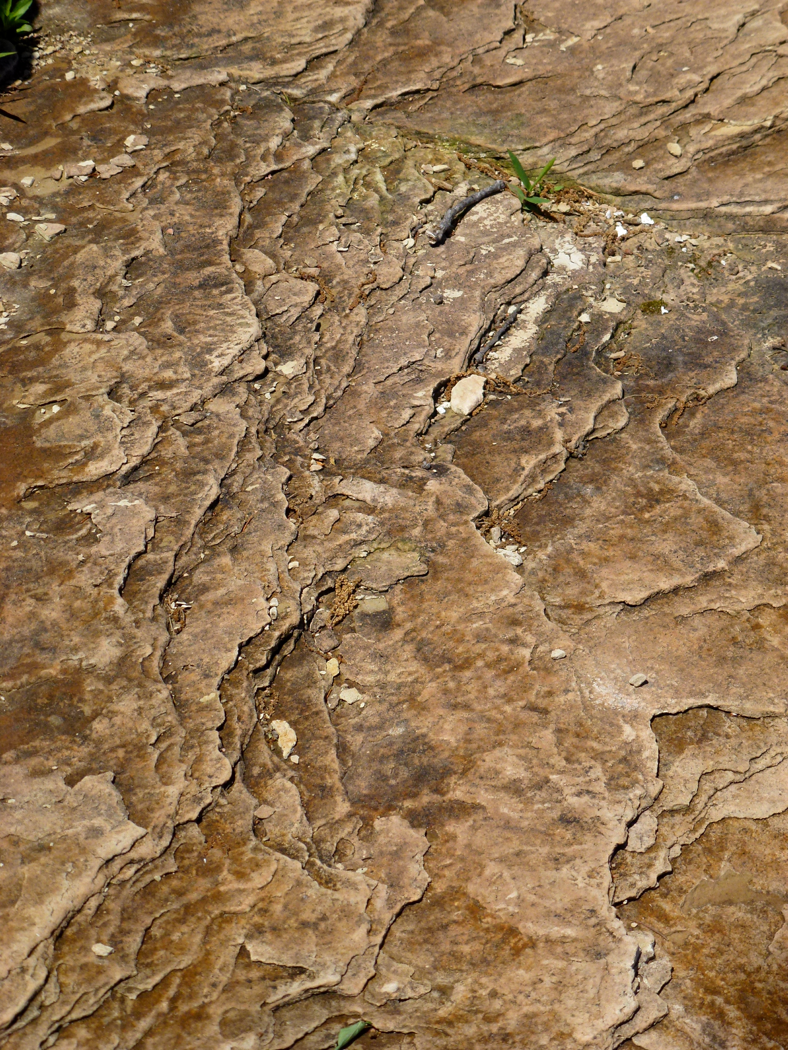
Rocky Shore of the Peninsula
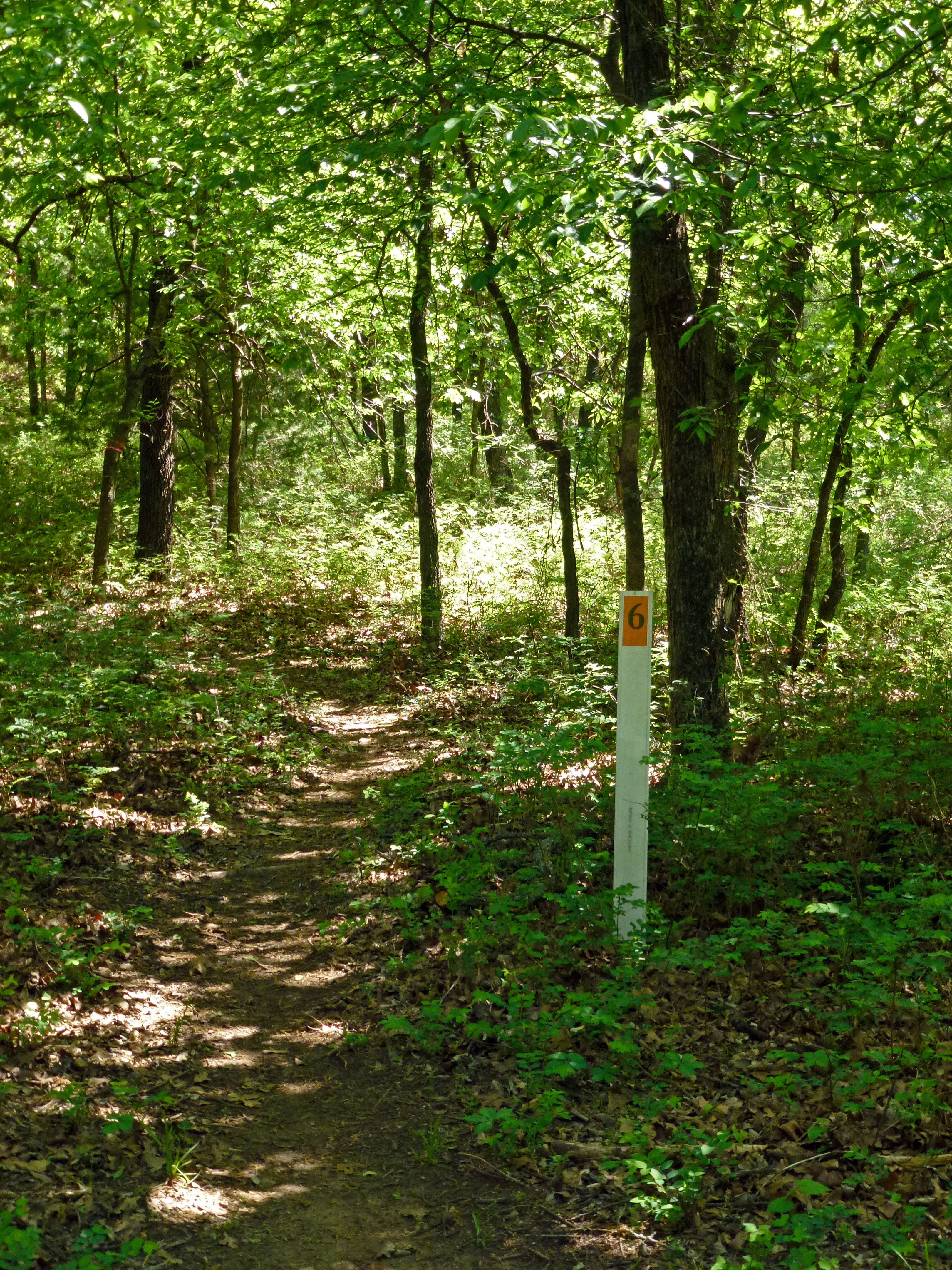
Trail Mileage Marker
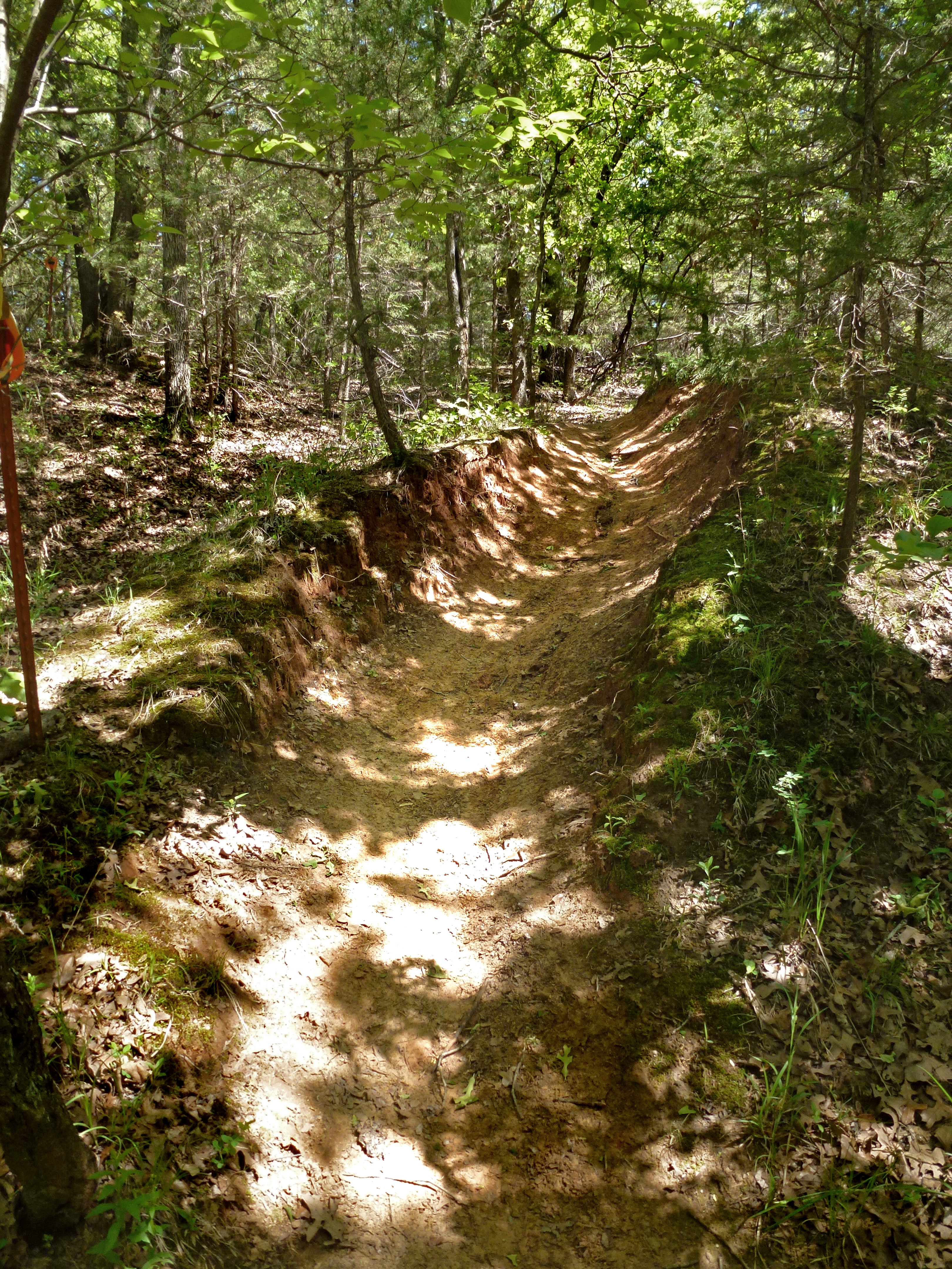
Trail or Toboggan Run
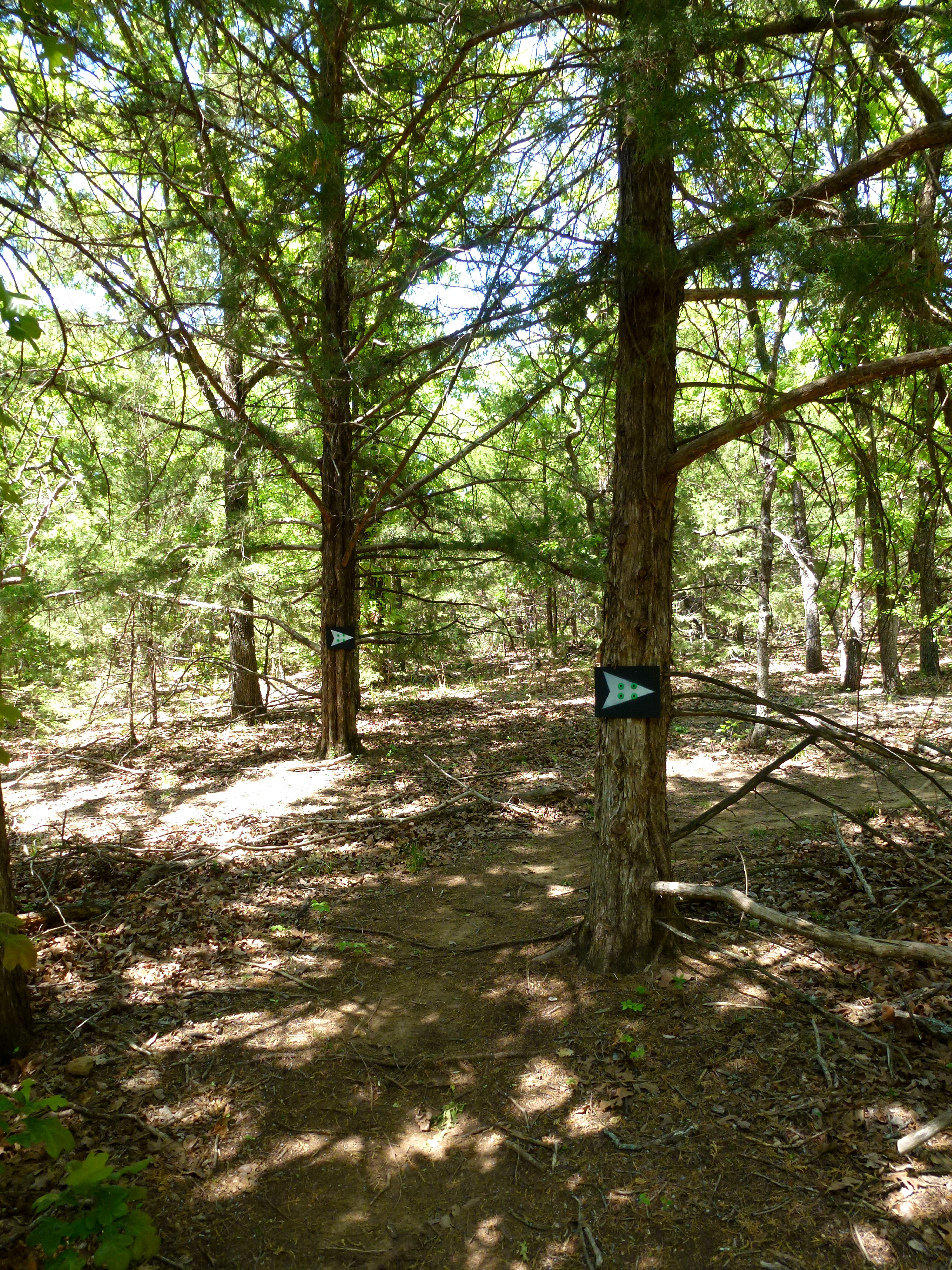
This Way Please
Topographic Map of Perry, OK, USA
Find elevation by address:

Places in Perry, OK, USA:
Places near Perry, OK, USA:
810 Jackson St
300 Fir St
Co Rd, Perry, OK, USA
13850 Gunsmoke
9765 Old John Deere
15704 Lariat
Lake Mcmurtry West Recreation Area
Orlando
Felcher Workshop
5th St, Orlando, OK, USA
W Main St, Billings, OK, USA
9211 W 2nd Ave
Noble County
W 44th Ave, Stillwater, OK, USA
2201 N Sangre Rd
Orthooklahoma
Thomas Autos
6605 W Coventry Dr
1608 S Fairway Dr
4724 W 16th Ave
Recent Searches:
- Elevation of Corso Fratelli Cairoli, 35, Macerata MC, Italy
- Elevation of Tallevast Rd, Sarasota, FL, USA
- Elevation of 4th St E, Sonoma, CA, USA
- Elevation of Black Hollow Rd, Pennsdale, PA, USA
- Elevation of Oakland Ave, Williamsport, PA, USA
- Elevation of Pedrógão Grande, Portugal
- Elevation of Klee Dr, Martinsburg, WV, USA
- Elevation of Via Roma, Pieranica CR, Italy
- Elevation of Tavkvetili Mountain, Georgia
- Elevation of Hartfords Bluff Cir, Mt Pleasant, SC, USA