Elevation of Old John Deere, Perry, OK, USA
Location: United States > Oklahoma > Noble County > Perry >
Longitude: -97.274276
Latitude: 36.3621906
Elevation: 310m / 1017feet
Barometric Pressure: 98KPa
Elevation Map:
Satellite Map:
Related Photos:
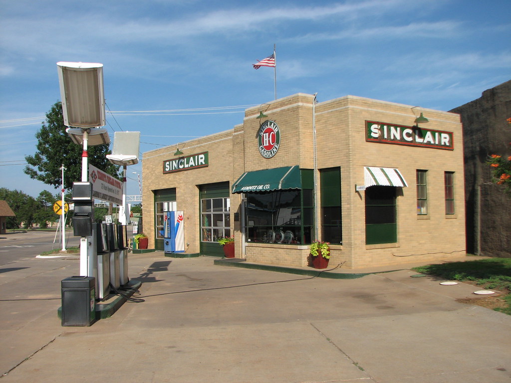
Kemnitz Sinclair-Side View
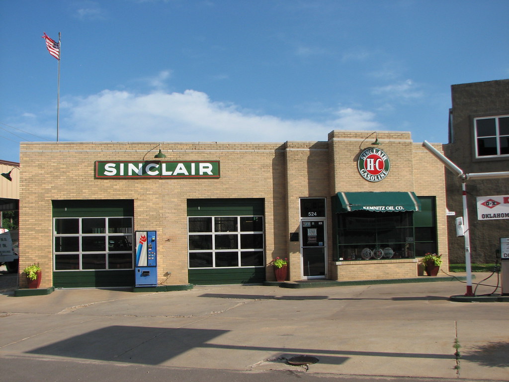
Kemnitz Station-Front View
Oklahoma terrain

Super 8 Motel - Perry, OK
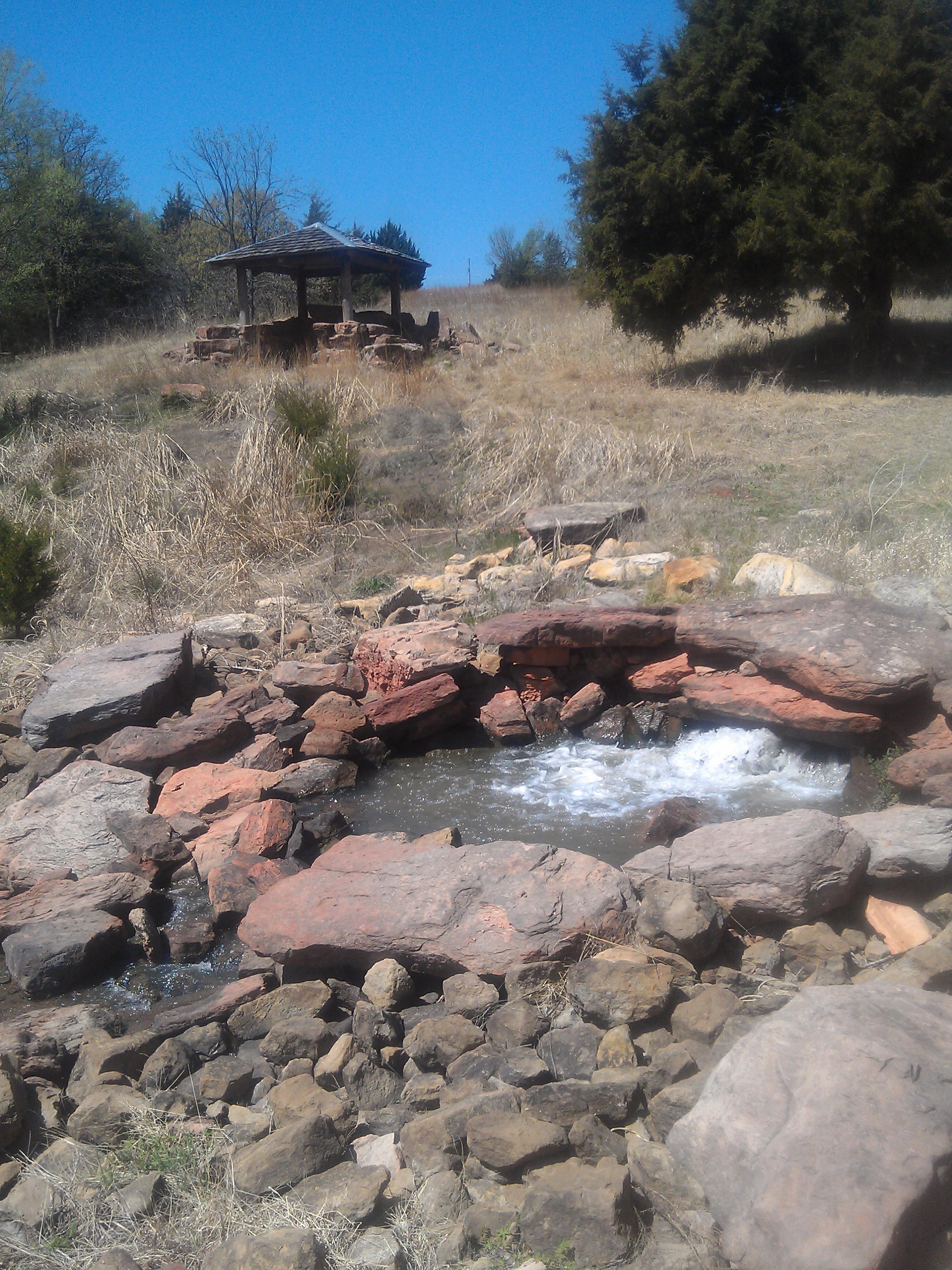
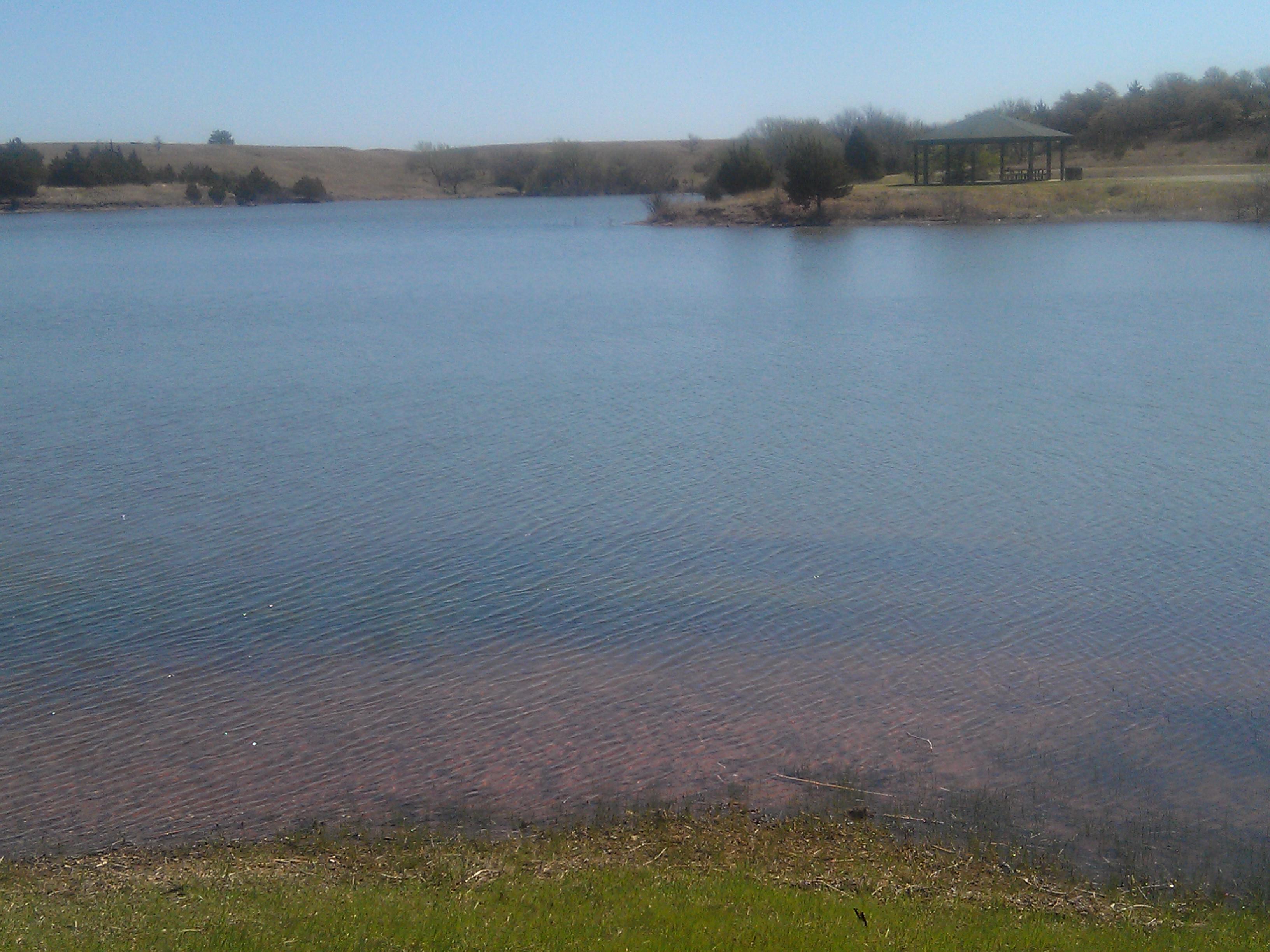
Perry Lake Park- Noble County OK (13)
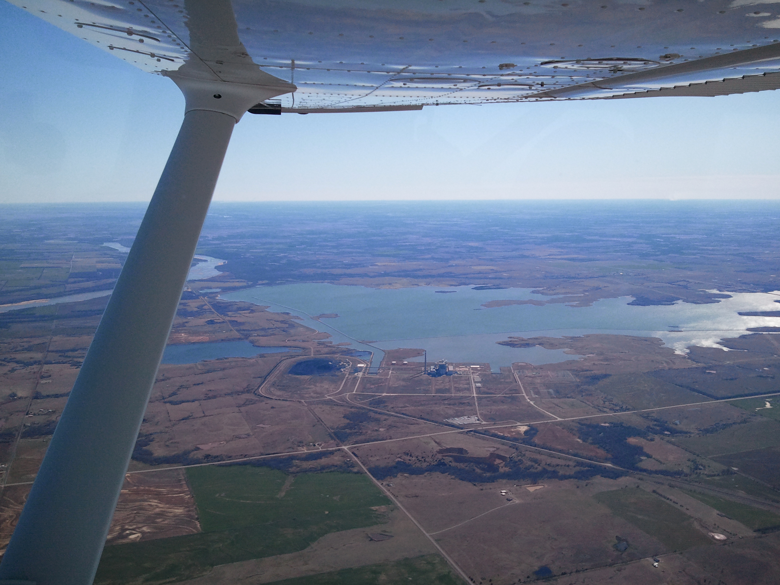
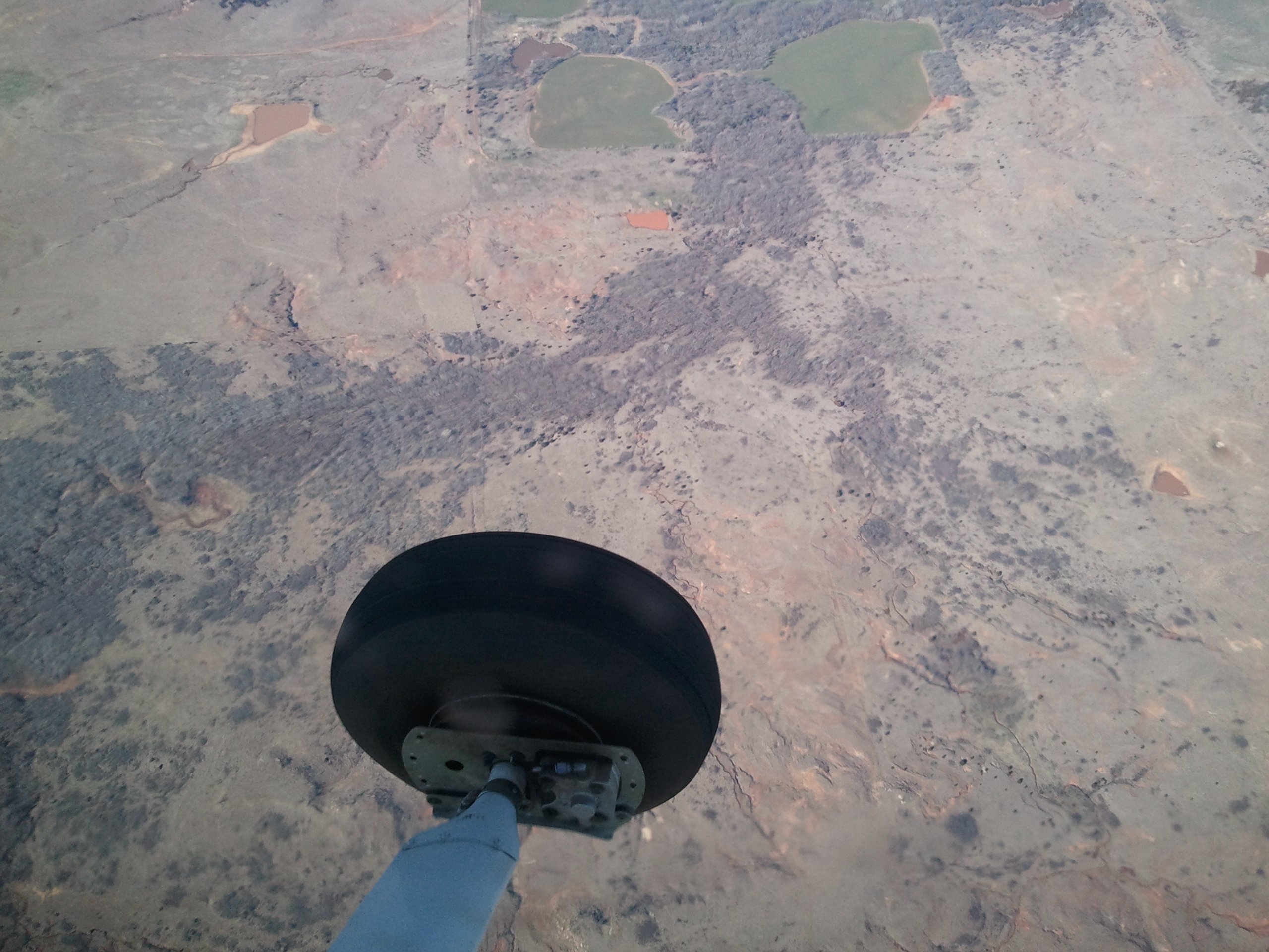
Sooner Lake from under the canopy of the Cessna 172 wing
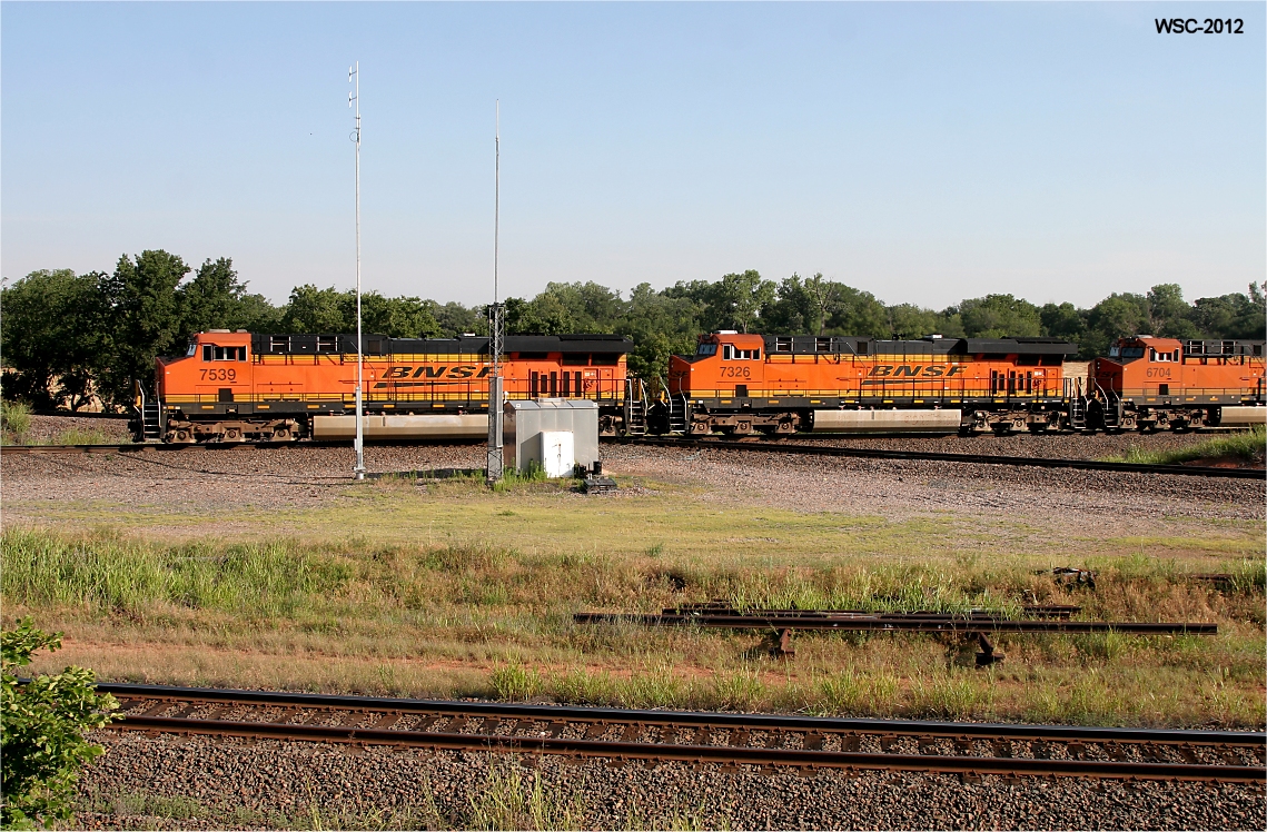
Southbound Z at "The Bear"
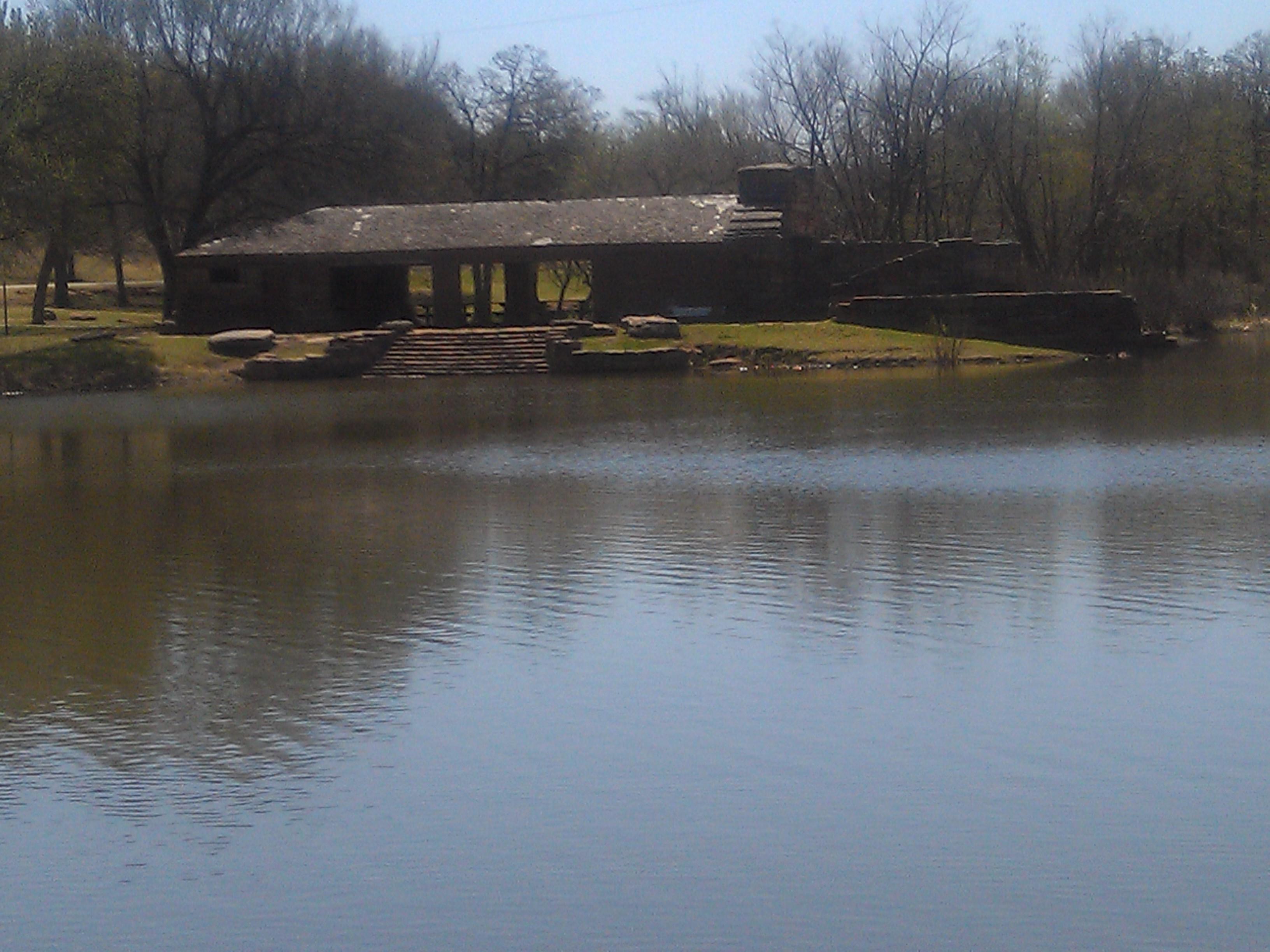
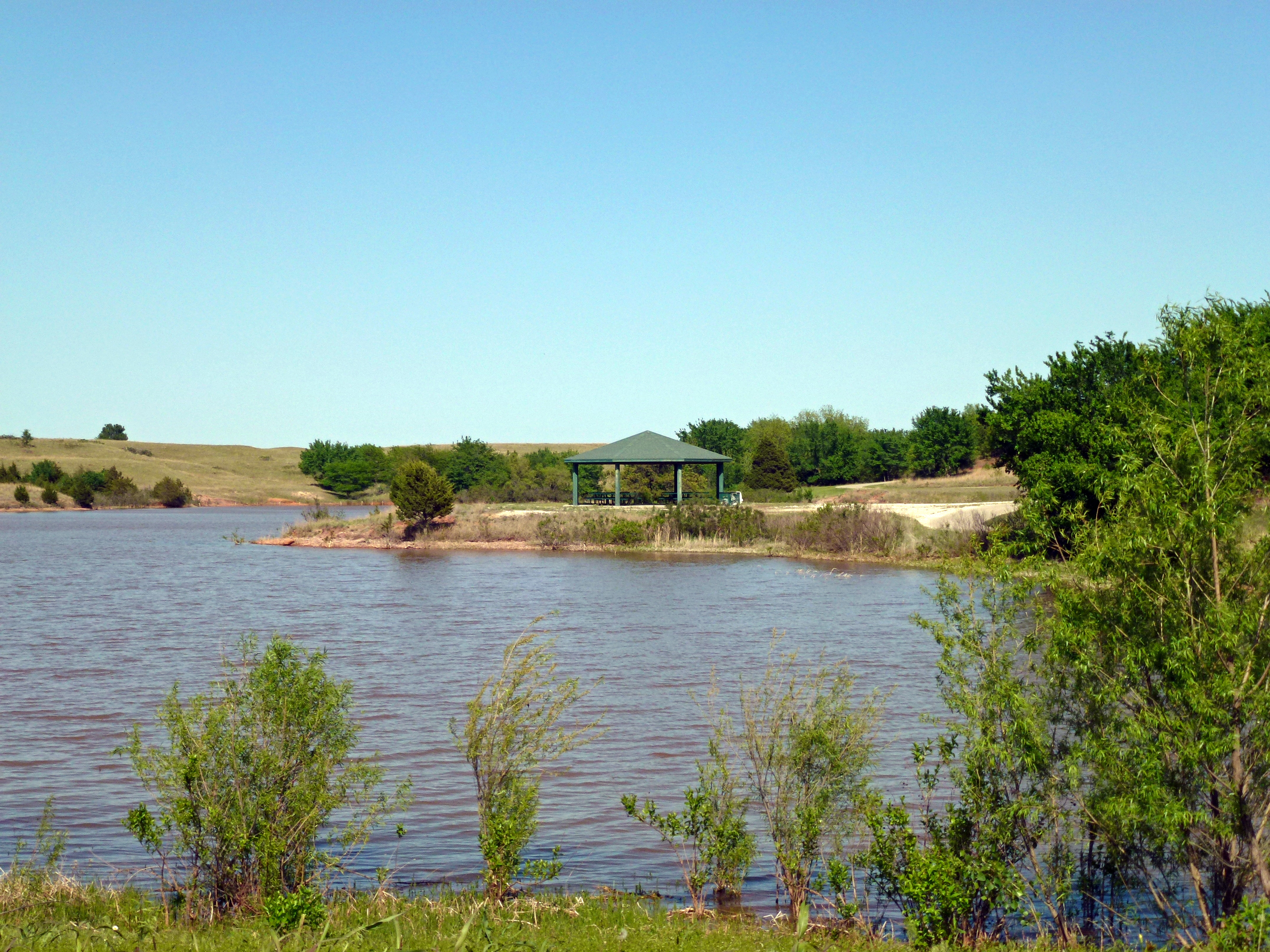
Perry Lake Park- Noble County OK (6)
Mornin' Monday #nofilternecessary
Perry Lake Park- Noble County OK (2)
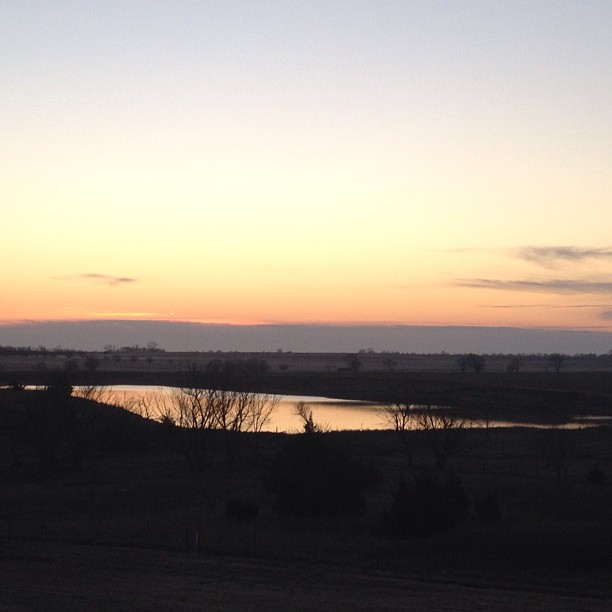
CCC Lake at Perry
Topographic Map of Old John Deere, Perry, OK, USA
Find elevation by address:

Places near Old John Deere, Perry, OK, USA:
Co Rd, Perry, OK, USA
810 Jackson St
300 Fir St
Perry
15704 Lariat
W Main St, Billings, OK, USA
13850 Gunsmoke
Noble County
Felcher Workshop
Lake Mcmurtry West Recreation Area
N Main St, Marland, OK, USA
Orlando
Billings
5th St, Orlando, OK, USA
9211 W 2nd Ave
Thomas Autos
2201 N Sangre Rd
Orthooklahoma
W 44th Ave, Stillwater, OK, USA
1608 S Fairway Dr
Recent Searches:
- Elevation of Corso Fratelli Cairoli, 35, Macerata MC, Italy
- Elevation of Tallevast Rd, Sarasota, FL, USA
- Elevation of 4th St E, Sonoma, CA, USA
- Elevation of Black Hollow Rd, Pennsdale, PA, USA
- Elevation of Oakland Ave, Williamsport, PA, USA
- Elevation of Pedrógão Grande, Portugal
- Elevation of Klee Dr, Martinsburg, WV, USA
- Elevation of Via Roma, Pieranica CR, Italy
- Elevation of Tavkvetili Mountain, Georgia
- Elevation of Hartfords Bluff Cir, Mt Pleasant, SC, USA