Elevation of Peppermill Lane, Peppermill Ln, Sylva, NC, USA
| Latitude | 35.3925024 |
|---|---|
| Longitude | -83.1700906 |
| Elevation | 702m / 2303feet |
| Barometric Pressure | 932KPa |
Related Photos:

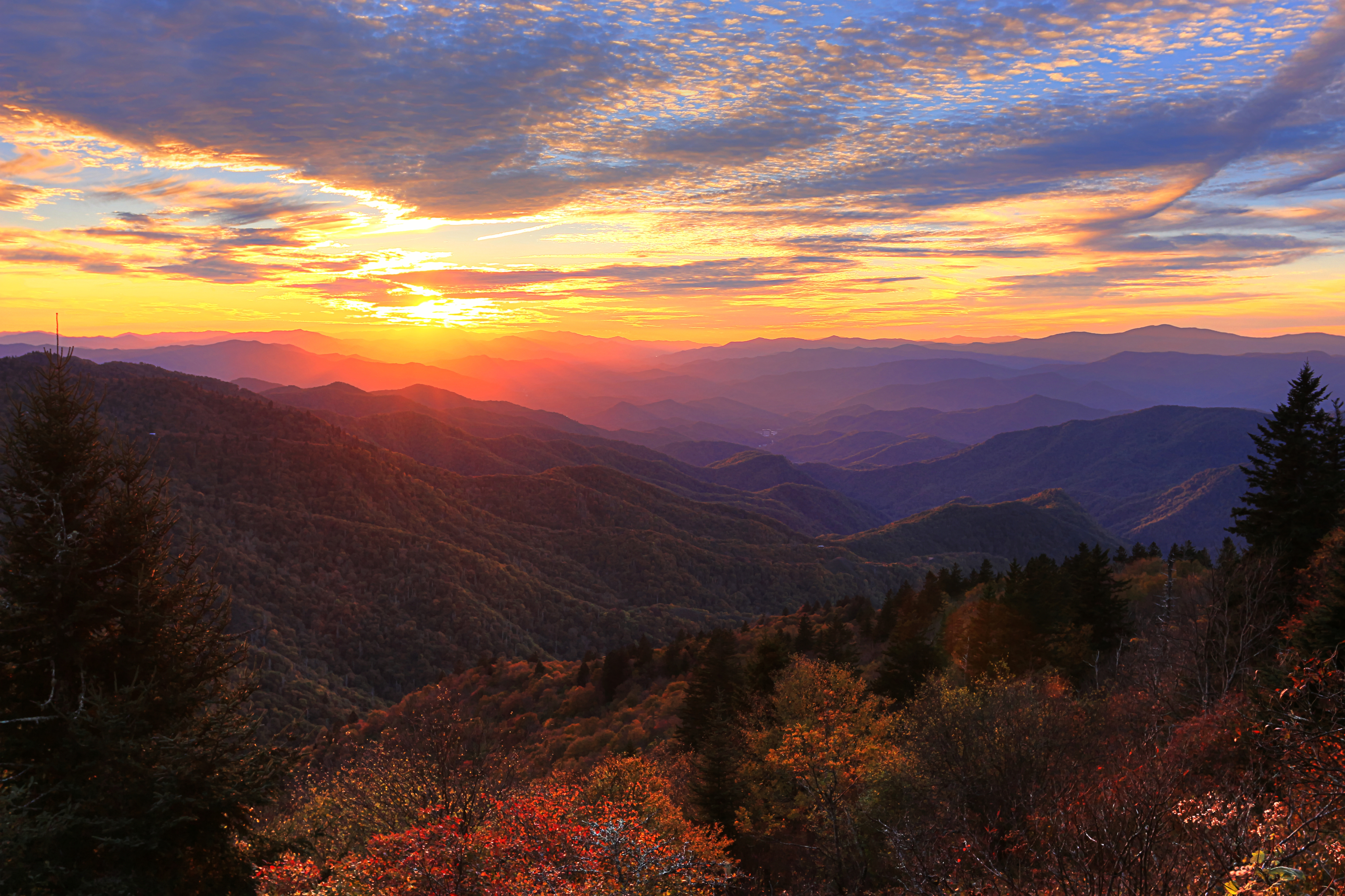
Current view from our cabin
Jackson County Courthouse - Explore #170
The Most Photographed Courthouse In North Carolina

Heaven Comes Down
Layers of Mountains from Waterrock Knob Trail on Blue Ridge Parkway
Black Balsam

The View from Court House Hill - Sylva, NC

View from Waterrock Knob, Blue Ridge Parkway, Isaiah 52:7

Steaming Toward Fontana
Blue Ridge Sunset
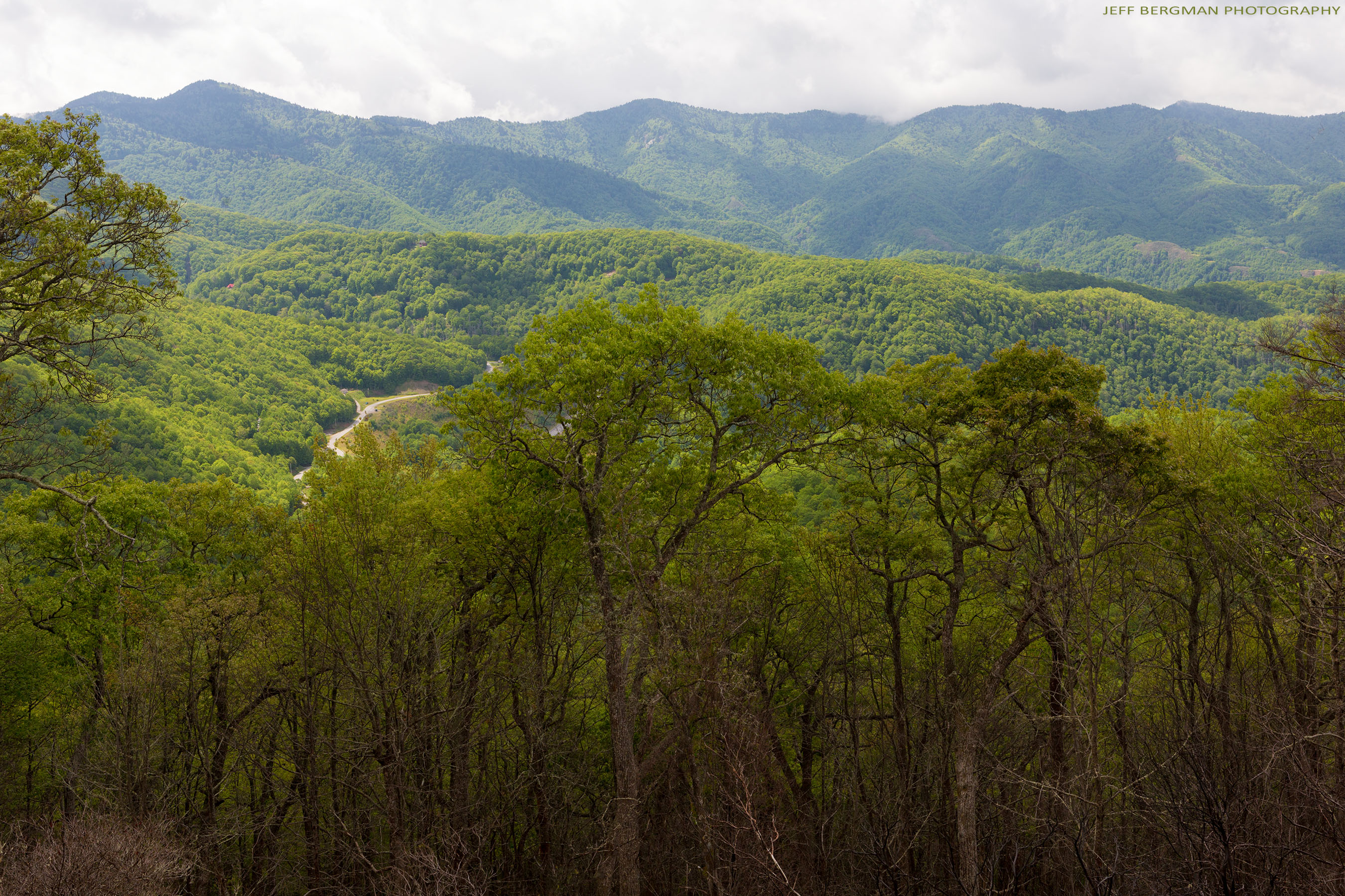
Plott Balsam Overlook

Mac's Indian Village Individual Cabin
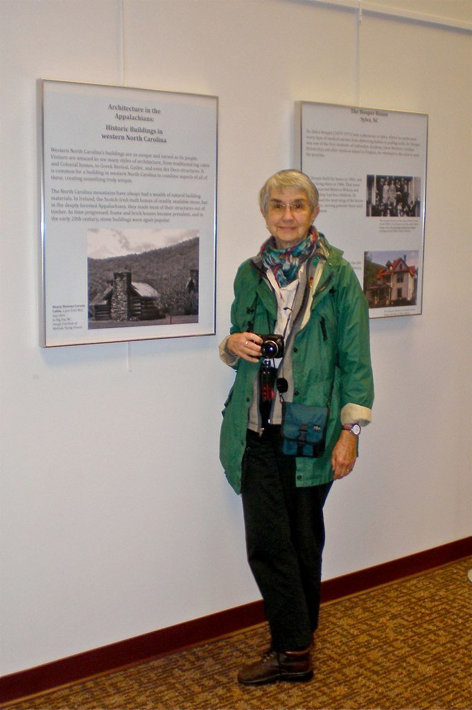
Me & My Photograph
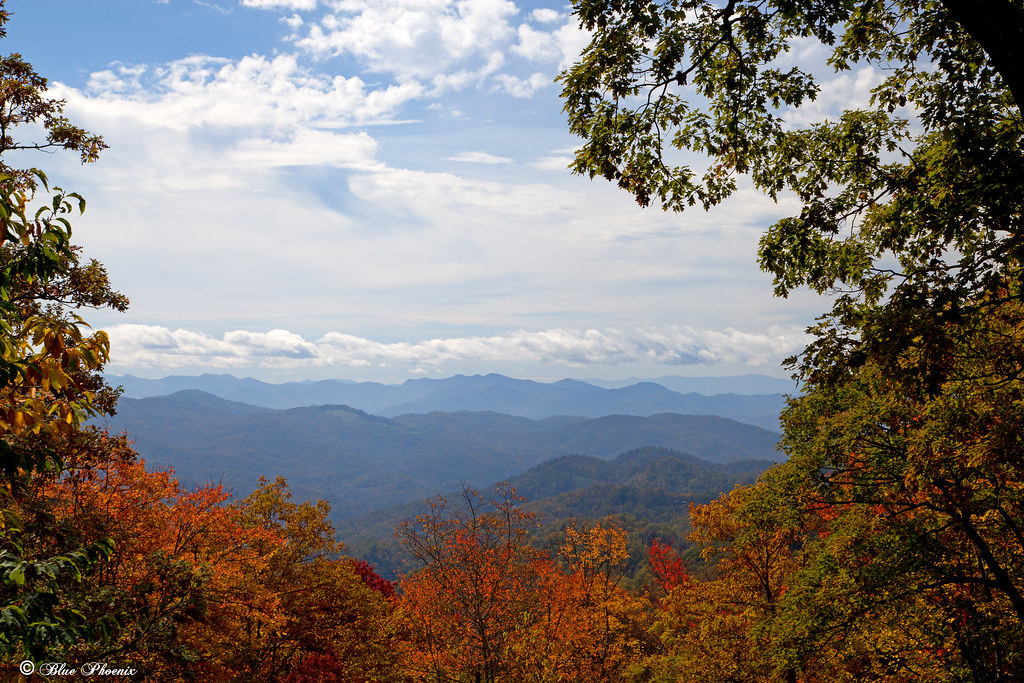
Fall View
Soco Falls
Hindered View
Woodfin Valley - EOS_00870
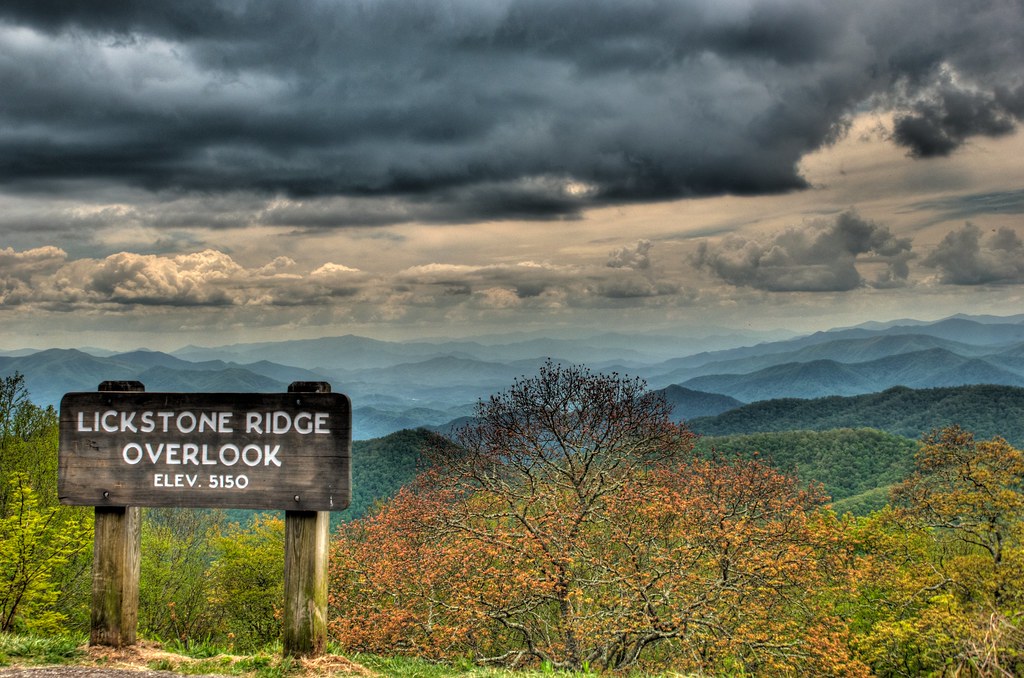
Lickstone Ridge Overlook in HDR
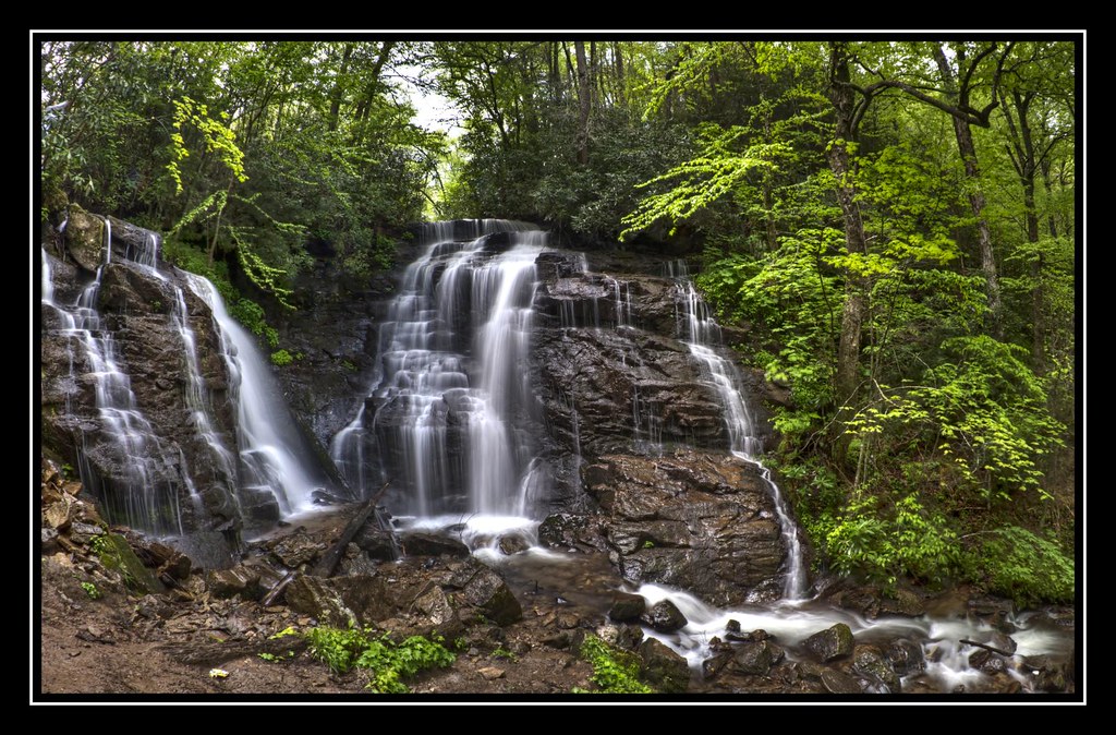
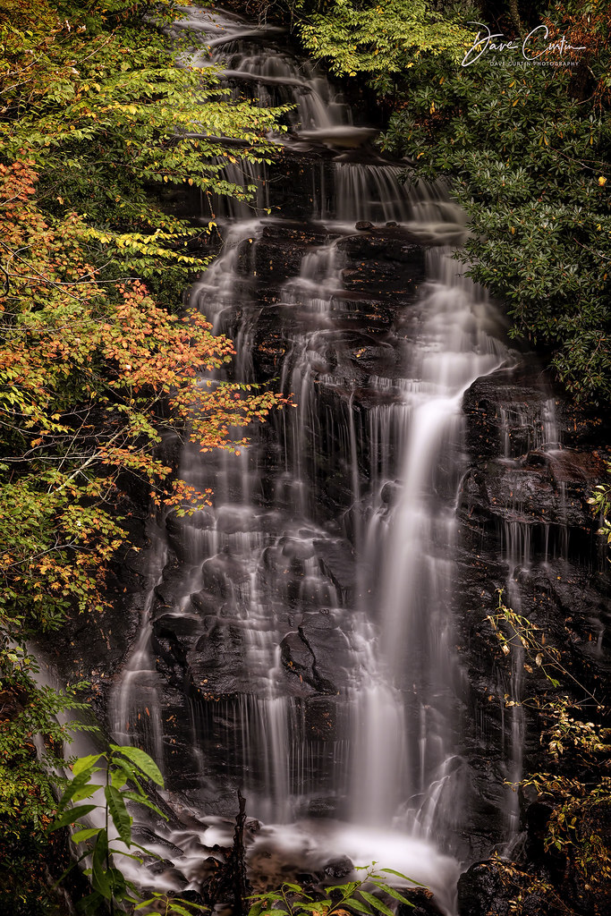
Soco Falls (Lower View)
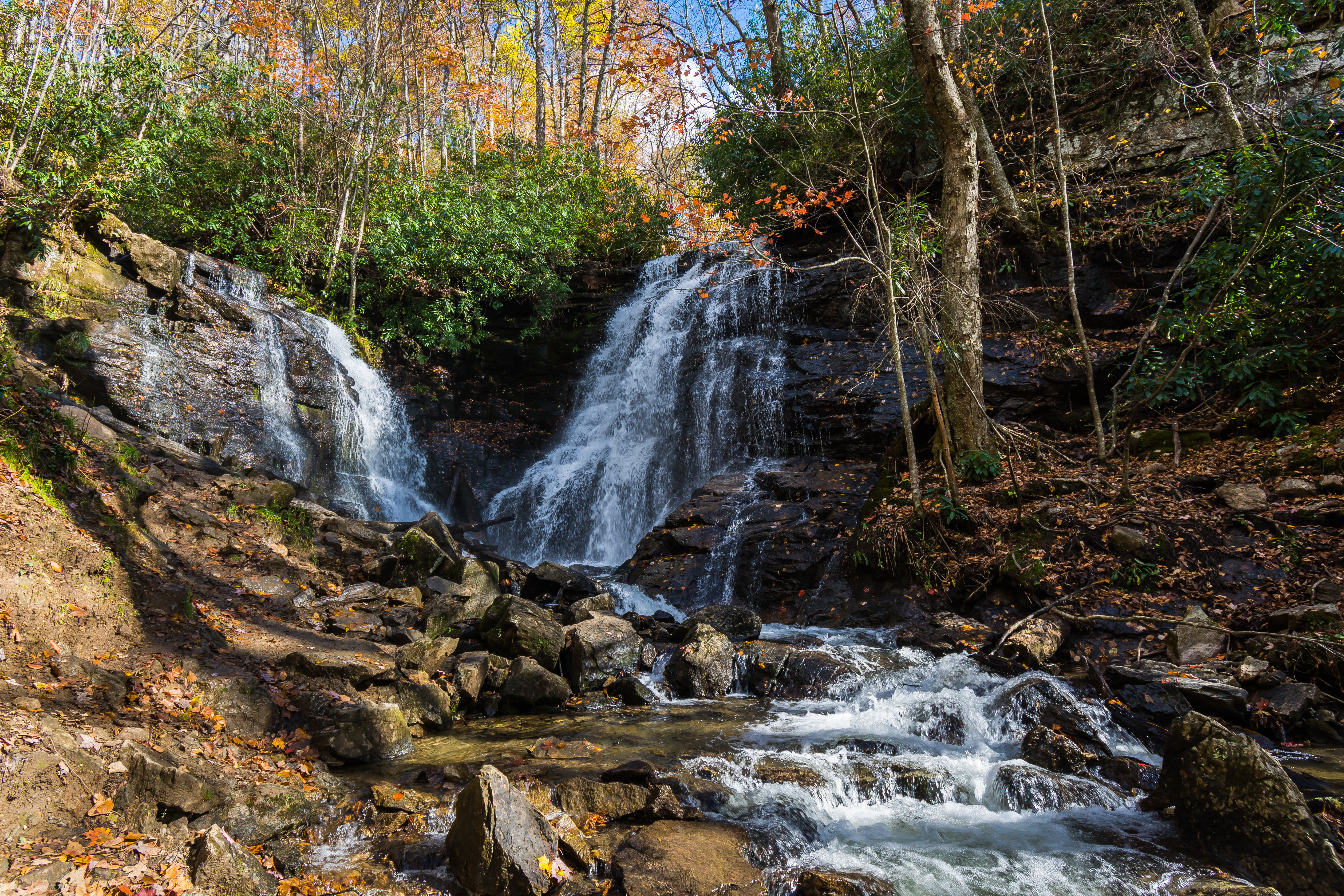
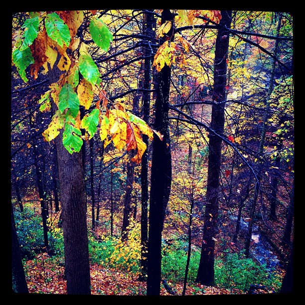
Appalachia Autumn
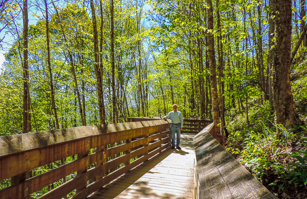
viewing platform
Topographic Map of Peppermill Lane, Peppermill Ln, Sylva, NC, USA
Find elevation by address:
Places near Peppermill Lane, Peppermill Ln, Sylva, NC, USA:
3695 Us-74
Hollow Lane
1045 Mineral Springs Dr
773 Mineral Springs Dr
3415 Skyland Dr
3752 Skyland Dr
Carver Mountain Valley Road
Mineral Springs Drive
3 Pump Mountain Dr
297 Happy Hollow Rd
1920 Cope Creek Rd
279 Happy Hollow Rd
254 Leyla Ct
47 Wild Horse Rd
14 Gentle Ridge
697 Oleander Ln
697 Oleander Ln
551 Parris Branch Rd
4135 Skyland Dr
36 Cypress Ln
Recent Searches:
- Elevation of Burnt Store Village, Charlotte County, Florida, 33955, USA
- Elevation of 26552, Angelica Road, Punta Gorda, Charlotte County, Florida, 33955, USA
- Elevation of 104, Chancery Road, Middletown Township, Bucks County, Pennsylvania, 19047, USA
- Elevation of 1212, Cypress Lane, Dayton, Liberty County, Texas, 77535, USA
- Elevation map of Central Hungary, Hungary
- Elevation map of Pest, Central Hungary, Hungary
- Elevation of Pilisszentkereszt, Pest, Central Hungary, Hungary
- Elevation of Dharamkot Tahsil, Punjab, India
- Elevation of Bhinder Khurd, Dharamkot Tahsil, Punjab, India
- Elevation of 2881, Chabot Drive, San Bruno, San Mateo County, California, 94066, USA
- Elevation of 10370, West 107th Circle, Westminster, Jefferson County, Colorado, 80021, USA
- Elevation of 611, Roman Road, Old Ford, Bow, London, England, E3 2RW, United Kingdom
- Elevation of 116, Beartown Road, Underhill, Chittenden County, Vermont, 05489, USA
- Elevation of Window Rock, Colfax County, New Mexico, 87714, USA
- Elevation of 4807, Rosecroft Street, Kempsville Gardens, Virginia Beach, Virginia, 23464, USA
- Elevation map of Matawinie, Quebec, Canada
- Elevation of Sainte-Émélie-de-l'Énergie, Matawinie, Quebec, Canada
- Elevation of Rue du Pont, Sainte-Émélie-de-l'Énergie, Matawinie, Quebec, J0K2K0, Canada
- Elevation of 8, Rue de Bécancour, Blainville, Thérèse-De Blainville, Quebec, J7B1N2, Canada
- Elevation of Wilmot Court North, 163, University Avenue West, Northdale, Waterloo, Region of Waterloo, Ontario, N2L6B6, Canada