Elevation of Pepper Rd, Kaplan, LA, USA
Location: United States > Louisiana > Vermilion Parish > >
Longitude: -92.223261
Latitude: 29.9854095
Elevation: 5m / 16feet
Barometric Pressure: 101KPa
Elevation Map:
Satellite Map:
Related Photos:

Barbed With A View

Shucks!
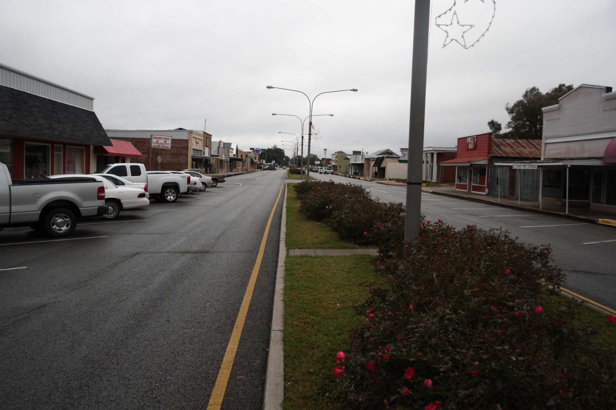
Downtown Kaplan

Abbeville Park

Fire-scene

Cajun Sunset

Photography Weekly Challenge (Flags)

Vermilion River Reflections

A very green swamp

Giant Banana spider on a web

Our place at Abbeville RV Park
Topographic Map of Pepper Rd, Kaplan, LA, USA
Find elevation by address:

Places near Pepper Rd, Kaplan, LA, USA:
14902 Pepper Rd
14902 Pepper Rd
11616 La-695
10710 Sandra Dr
11, LA, USA
10425 Cabrol Rd
12379 Judge Doucet Rd
14116 Melrose Rd
614 Cheneau Rd
100 Creole Dr
Kaplan
100 N Cushing Ave
W 1st St, Kaplan, LA, USA
317 N Cushing Ave
416 N Irving Ave
310 N Irving Ave
Serene Road
1200 Church Ave
1104 Church Ave
102 Warren St
Recent Searches:
- Elevation of Corso Fratelli Cairoli, 35, Macerata MC, Italy
- Elevation of Tallevast Rd, Sarasota, FL, USA
- Elevation of 4th St E, Sonoma, CA, USA
- Elevation of Black Hollow Rd, Pennsdale, PA, USA
- Elevation of Oakland Ave, Williamsport, PA, USA
- Elevation of Pedrógão Grande, Portugal
- Elevation of Klee Dr, Martinsburg, WV, USA
- Elevation of Via Roma, Pieranica CR, Italy
- Elevation of Tavkvetili Mountain, Georgia
- Elevation of Hartfords Bluff Cir, Mt Pleasant, SC, USA