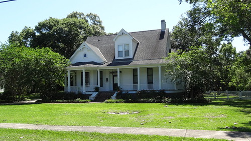
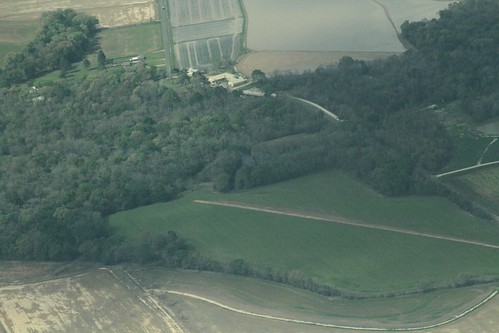
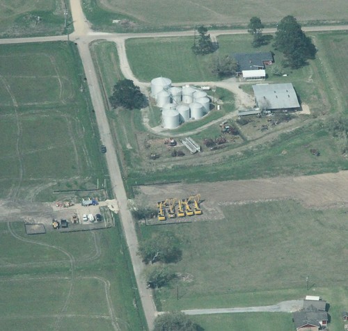
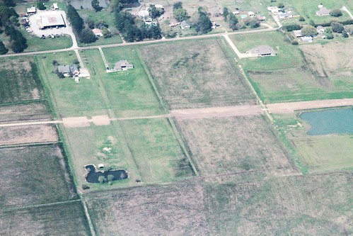
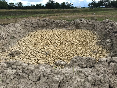
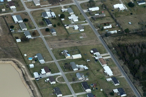
Elevation of N Irving Ave, Kaplan, LA, USA
Location: United States > Louisiana > Vermilion Parish > > Kaplan >
Longitude: -92.285583
Latitude: 30.00197
Elevation: -10000m / -32808feet
Barometric Pressure: 295KPa
Related Photos:
Topographic Map of N Irving Ave, Kaplan, LA, USA
Find elevation by address:

Places near N Irving Ave, Kaplan, LA, USA:
310 N Irving Ave
100 N Cushing Ave
317 N Cushing Ave
W 1st St, Kaplan, LA, USA
Kaplan
1104 Church Ave
1200 Church Ave
513 N Trahan Ave
912 N Jackson Ave
608 N Deshotel Ave
614 Cheneau Rd
145 Richlieu Cir
102 Warren St
Richlieu Circle
100 Warren St
205 Richlieu Cir
100 Creole Dr
18825 Kristin Rd
12379 Judge Doucet Rd
12, LA, USA
Recent Searches:
- Elevation of Corso Fratelli Cairoli, 35, Macerata MC, Italy
- Elevation of Tallevast Rd, Sarasota, FL, USA
- Elevation of 4th St E, Sonoma, CA, USA
- Elevation of Black Hollow Rd, Pennsdale, PA, USA
- Elevation of Oakland Ave, Williamsport, PA, USA
- Elevation of Pedrógão Grande, Portugal
- Elevation of Klee Dr, Martinsburg, WV, USA
- Elevation of Via Roma, Pieranica CR, Italy
- Elevation of Tavkvetili Mountain, Georgia
- Elevation of Hartfords Bluff Cir, Mt Pleasant, SC, USA


