Elevation of Penngrove, CA, USA
Location: United States > California > Sonoma County >
Longitude: -122.66642
Latitude: 38.29975
Elevation: 25m / 82feet
Barometric Pressure: 101KPa
Elevation Map:
Satellite Map:
Related Photos:
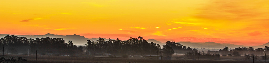
Sunrise Yesterday Morning in Petaluma

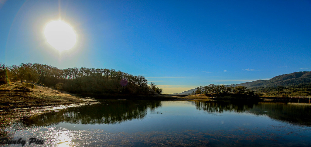
Another Country View

Jack London State Historic Park
Sonoma Valley Regional Park

A Country View
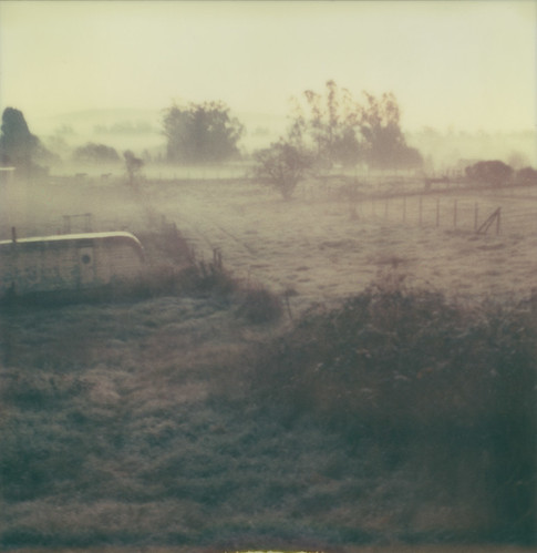
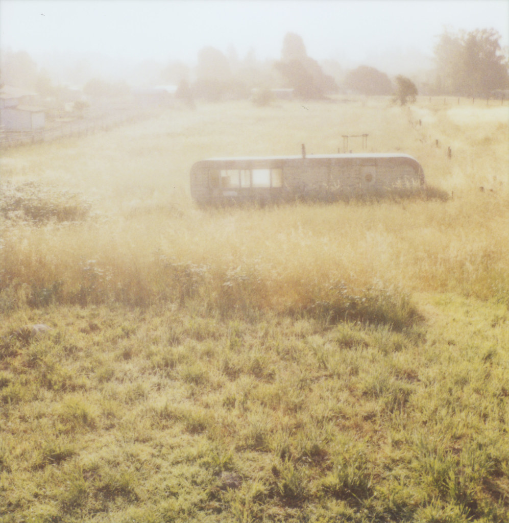
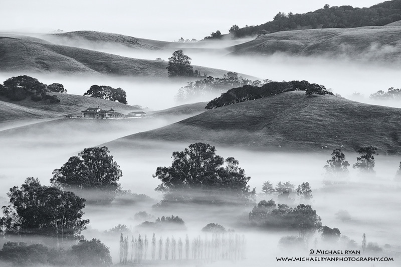
another misty morning

brooklyn in the country

Focus on Structures and Architecture at Jack London State Historic Park
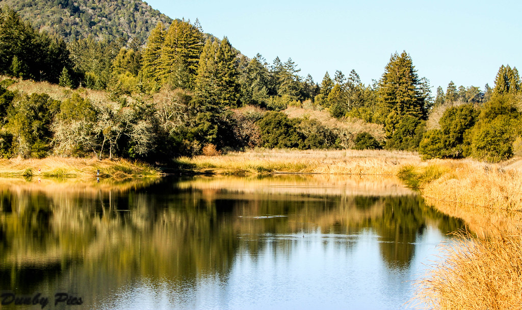
Fern Lake - Jack London State Park

2014 Petaluma Lighted Boat Parade

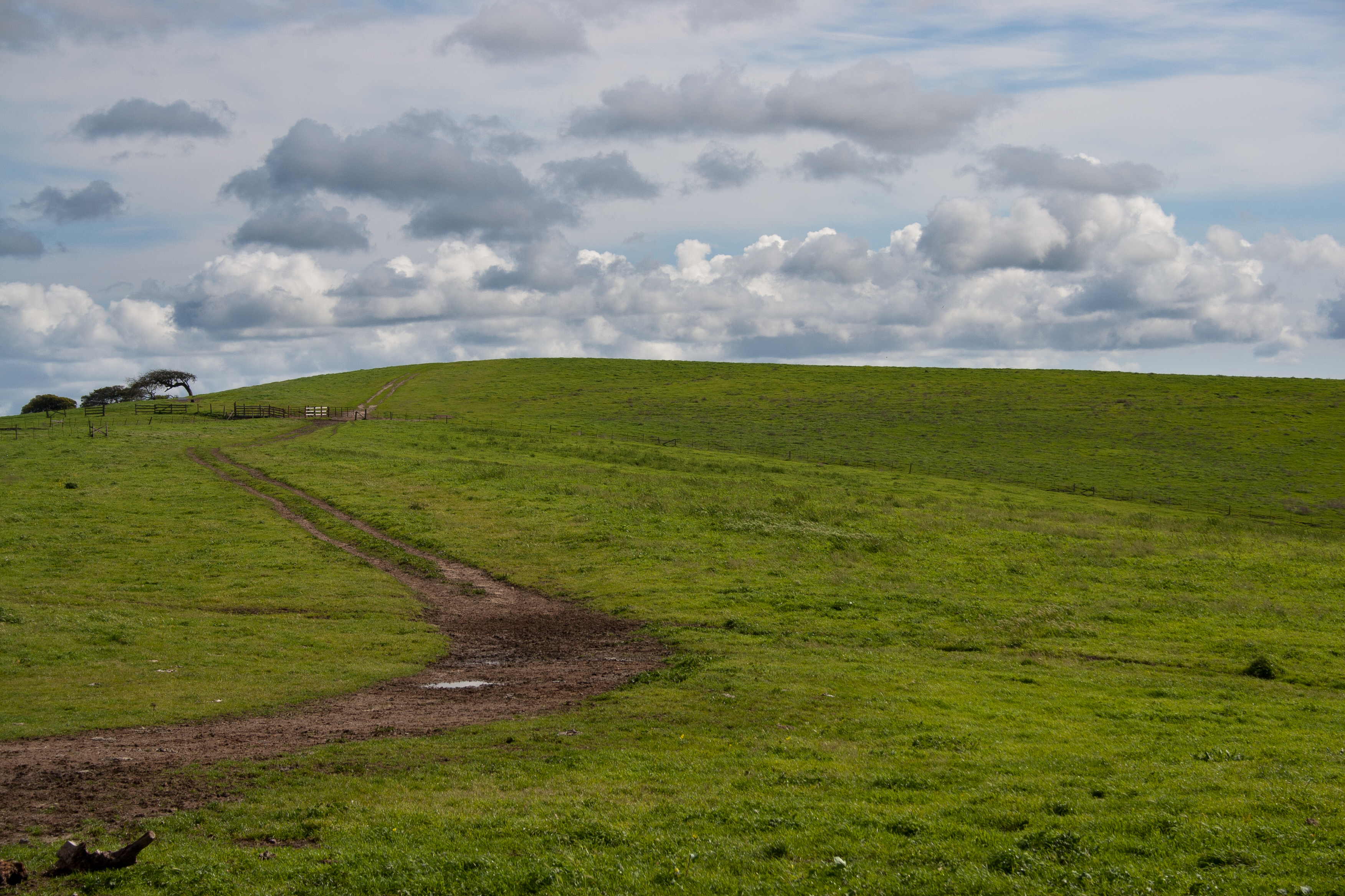
view from gravity hill
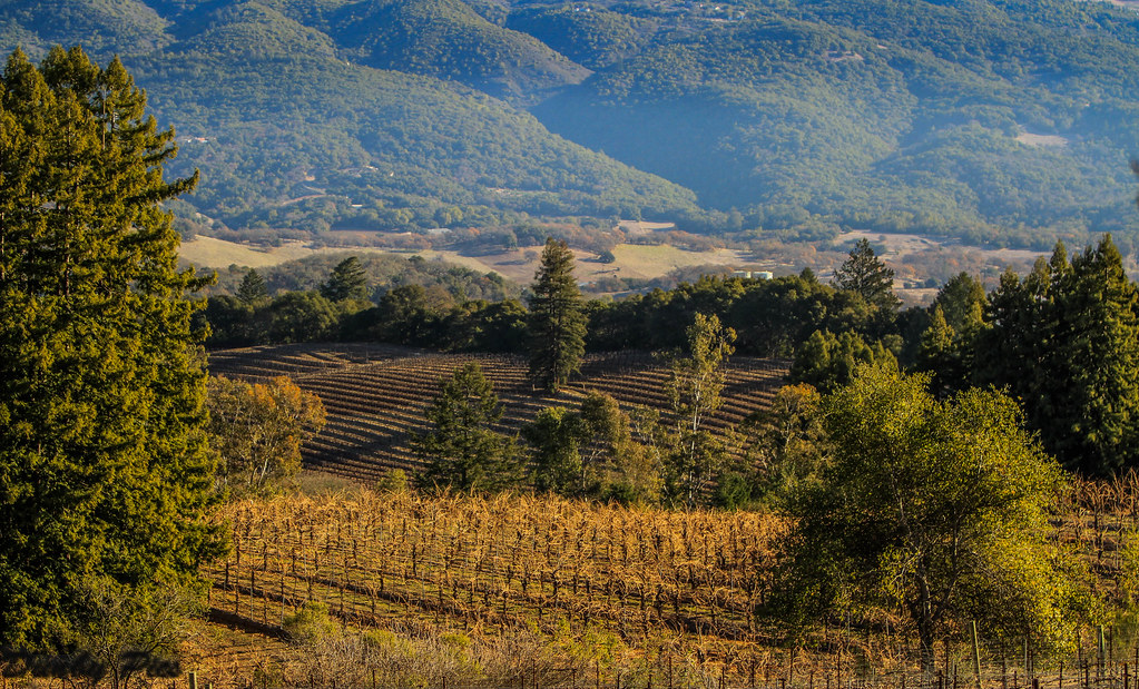
Vineyards surrounding Jack London State Historic Park

pinhole oaks
Backroad Landscapes - Farm Pano Two Rock Petaluma
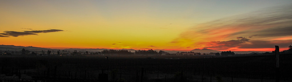
Sunrise Yesterday Morning in Petaluma
meadow morning
Like Life in the Clouds

Cormorant take off - My Focus on Fern Lake at Jack London State Historic Park

Duck Diversity Reflection at Ellis Creek - Petaluma Wetlands

Scenery on My Drive Home From Work

2014 Petaluma Lighted Boat Parade

perfectly-shaped tree
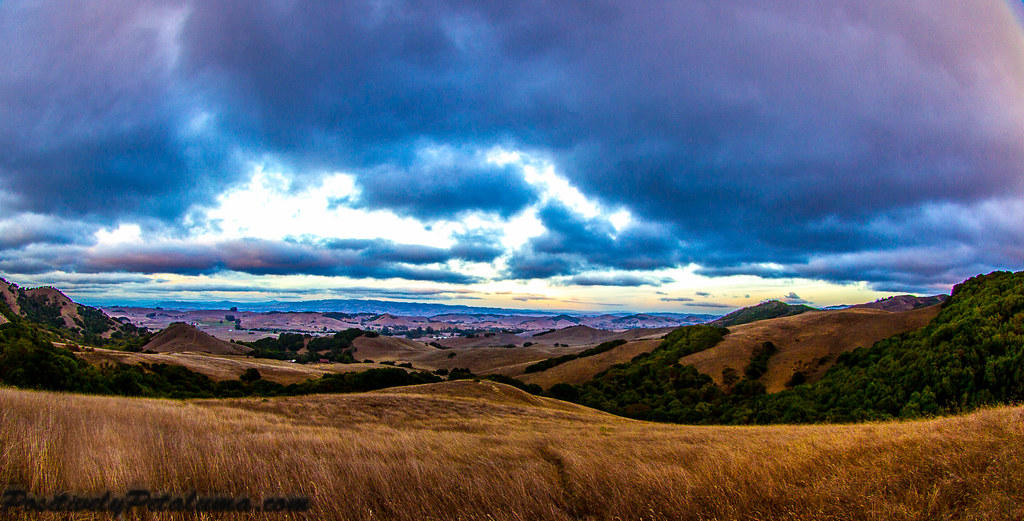
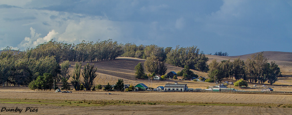
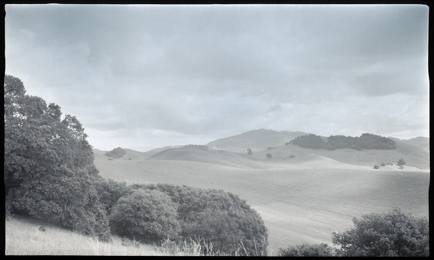
Hills Of Petaluma
IMGP4199-Edit
Hills Of Petaluma

Morning Light

Valley of Dreams
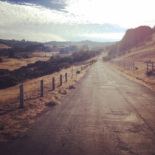
Farm Road
Petaluma Hills

IMGP4051-Edit

hill and sky

more green-and-fog, from this morning's commute
sonoma mtn
looking back up at Sonoma Mtn
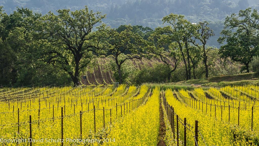
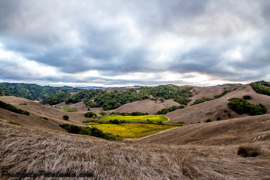
Mustard, Vines and Trees

Vineyard Light
Topographic Map of Penngrove, CA, USA
Find elevation by address:

Places in Penngrove, CA, USA:
Places near Penngrove, CA, USA:
Adobe Rd, Penngrove, CA, USA
7900 Petaluma Hill Rd
1327 Clegg St
Auto Center Drive
N McDowell Blvd, Petaluma, CA, USA
741 Mayflower St
1907 Winchester Ln
737 Southpoint Blvd
1375 Gossage Ave
426 Brittania Ct
208 Wishkah Ln
717 Madison St
818 N Webster St
2450 E Washington St
Kentucky Street
Edith Street Senior Apartments
416 Eastwood Dr
Payran Street
16 E Washington St
513 Ely Blvd S
Recent Searches:
- Elevation of Corso Fratelli Cairoli, 35, Macerata MC, Italy
- Elevation of Tallevast Rd, Sarasota, FL, USA
- Elevation of 4th St E, Sonoma, CA, USA
- Elevation of Black Hollow Rd, Pennsdale, PA, USA
- Elevation of Oakland Ave, Williamsport, PA, USA
- Elevation of Pedrógão Grande, Portugal
- Elevation of Klee Dr, Martinsburg, WV, USA
- Elevation of Via Roma, Pieranica CR, Italy
- Elevation of Tavkvetili Mountain, Georgia
- Elevation of Hartfords Bluff Cir, Mt Pleasant, SC, USA