Elevation of Penney Rd, New Gloucester, ME, USA
Location: United States > Maine > Cumberland County > New Gloucester >
Longitude: -70.273214
Latitude: 43.926214
Elevation: 44m / 144feet
Barometric Pressure: 101KPa
Elevation Map:
Satellite Map:
Related Photos:
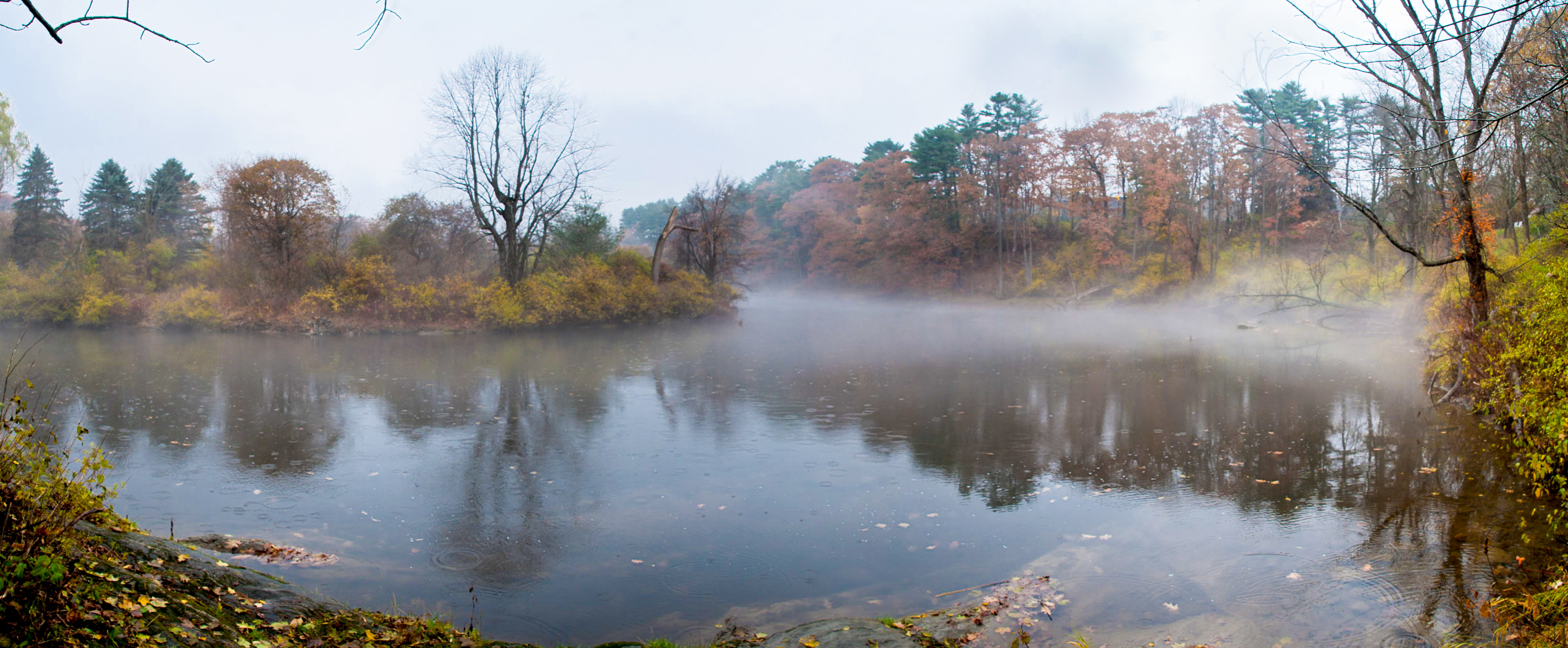
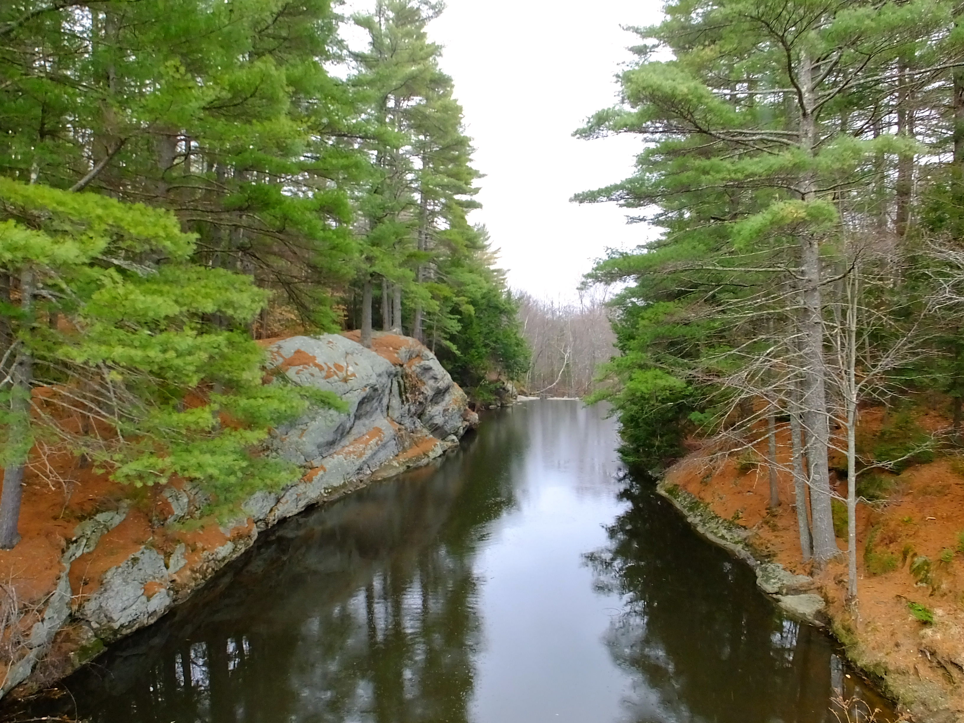
Royal River, Yarmouth, Maine
Royal River

US-ME Nightsky Pano 2013-07-06 Constelations
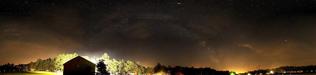
US-ME Nightsky Pano 2013-07-06
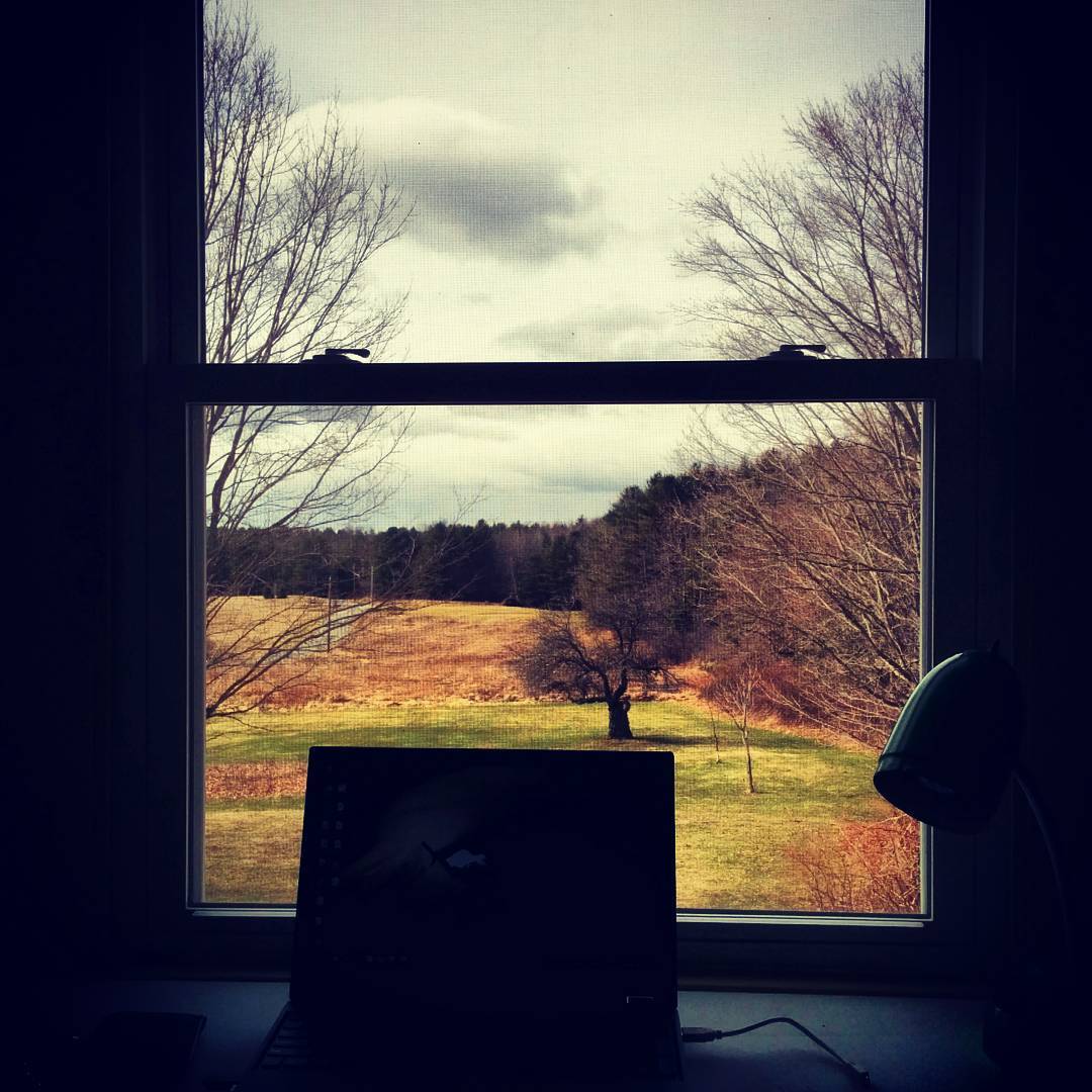
The view from the new office is even better than the view from the old office. Tons of birds. #maine #cumberland #homeoffice

Is that your tongue?

Side view of my handmade measuring spoon set
whales and bunnies (wk 271)

DSC_1496 Bradbury Mountain State Park - The Clouds Above

On Approach

Elisa Skimmer, taking a break on some Lupine

Down Time

Stonefly Face

Stonefly, Up Close And Personal.

Highland Cow Taking In The View

Pond Lilies
DSC_1604 Bradbury Mountain State Park - Switchback Trail
Front view of structre
View from Bradbury Mountain
long view

Herring Gull Poser
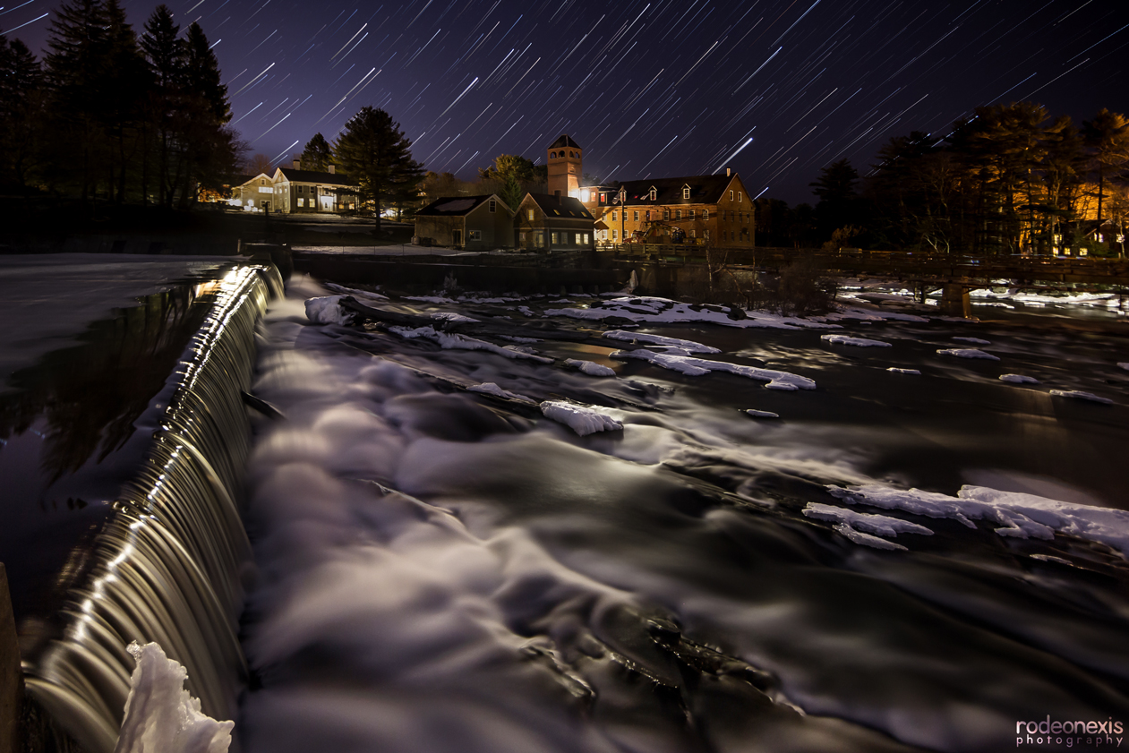
Sparhawk By Night - Star Trails

146. where's Elm-o? Hurricane Valley
Last day of winter 2017

On The Ocean
Runaround Pond

Blue Sky Fall In The Grass

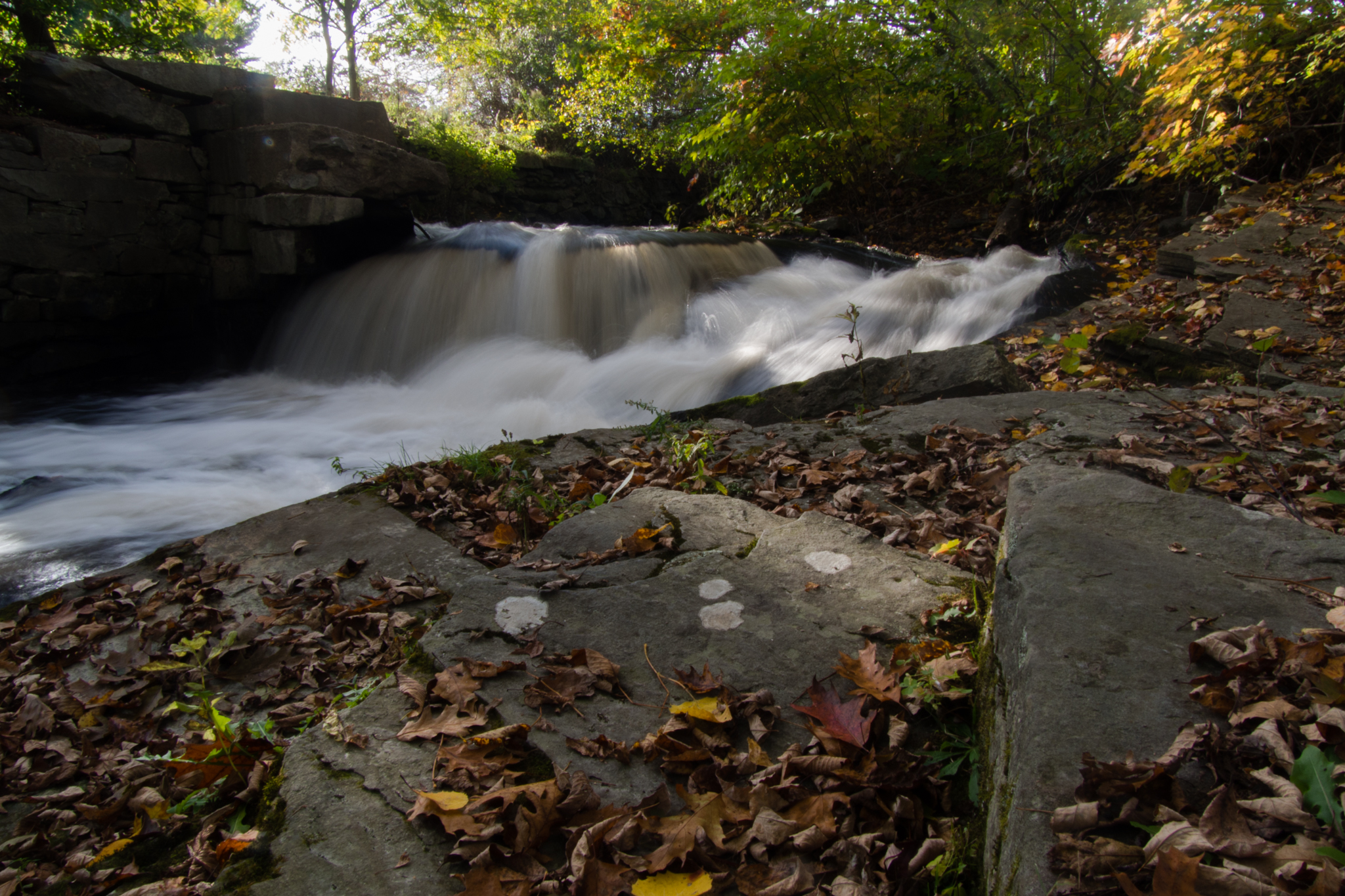
Chandler Brook
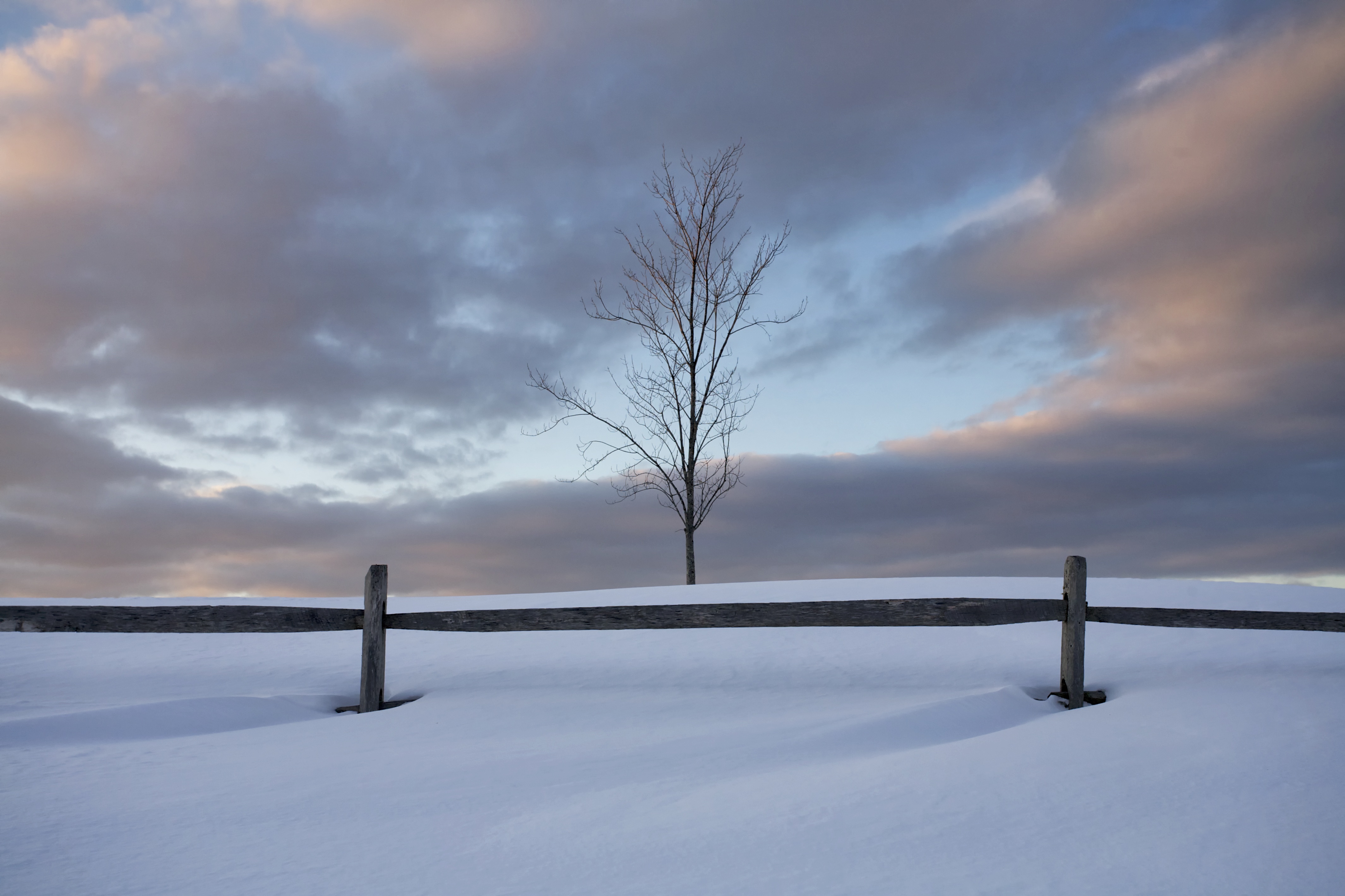
Snow, fence, tree

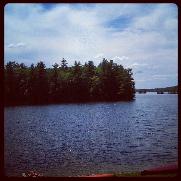
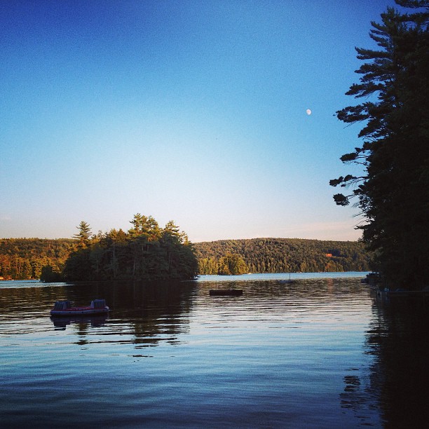
Crescent Lake, Maine
october 24
My Friday #lakeside #relaxing
Royal River Park

Build me up buttercup

long winter shadows
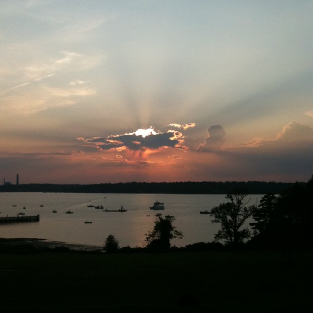
#moon #sunset #maine #mainethewaylifeshouldbe #peaceful #vacation #calm

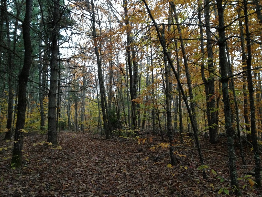
180. Piney trail Cumberland Town Forest
The Rays
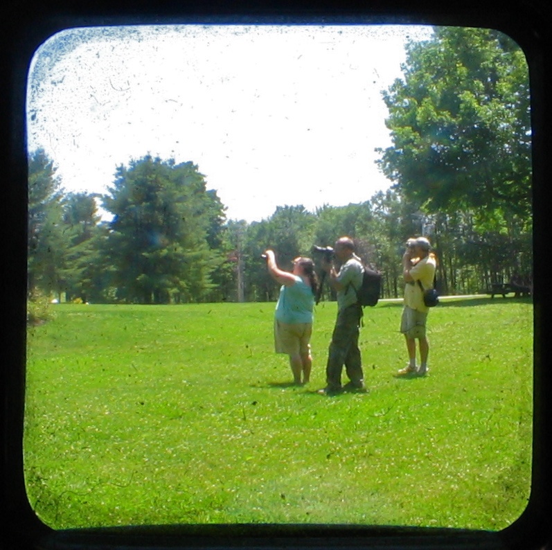
Shooters TTV
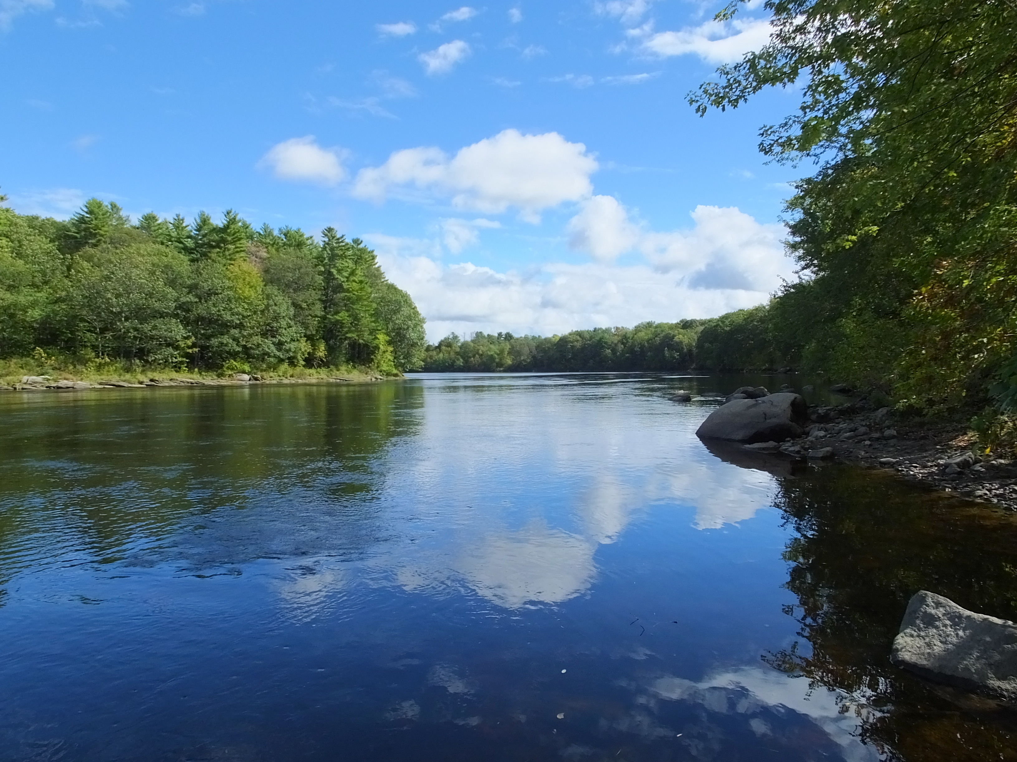
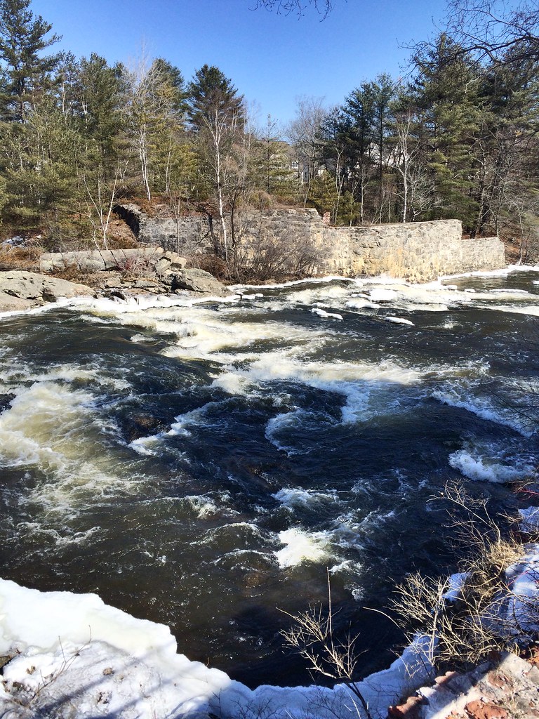
Androscoggin River 2
Last morning in Maine, but still time for a hike.
Topographic Map of Penney Rd, New Gloucester, ME, USA
Find elevation by address:

Places near Penney Rd, New Gloucester, ME, USA:
54 Briarwood Dr
185 Dougherty Rd
362 Allen Rd
Yarmouth Road
111 Mill Rd
Mallard Point Kennels
101 Long Hill Rd
6 Whites Cove Rd
Long Hill Road
North Yarmouth
Pownal
Bradbury Mountain State Park
The Lane
Labrador Lane
414 Ledge Rd
Cumberland
Cumberland Center
147 Ryder Rd
283 Main St
283 Main St
Recent Searches:
- Elevation of Corso Fratelli Cairoli, 35, Macerata MC, Italy
- Elevation of Tallevast Rd, Sarasota, FL, USA
- Elevation of 4th St E, Sonoma, CA, USA
- Elevation of Black Hollow Rd, Pennsdale, PA, USA
- Elevation of Oakland Ave, Williamsport, PA, USA
- Elevation of Pedrógão Grande, Portugal
- Elevation of Klee Dr, Martinsburg, WV, USA
- Elevation of Via Roma, Pieranica CR, Italy
- Elevation of Tavkvetili Mountain, Georgia
- Elevation of Hartfords Bluff Cir, Mt Pleasant, SC, USA