Elevation of Peel, AR, USA
Location: United States > Arkansas > Marion County > Franklin Township >
Longitude: -92.7580701
Latitude: 36.4695928
Elevation: 199m / 653feet
Barometric Pressure: 0KPa
Related Photos:
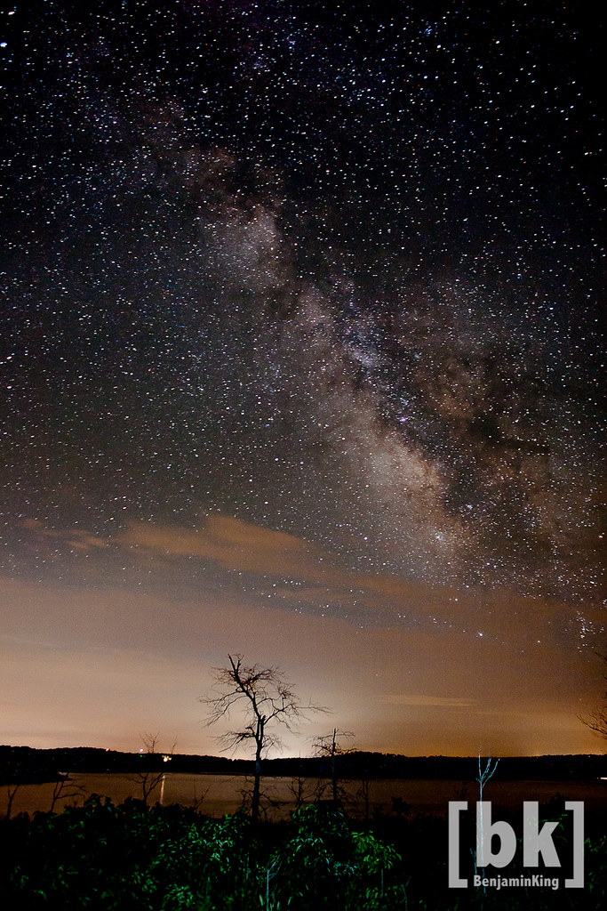
Night Sky over Bull Shoals

Bailey residence
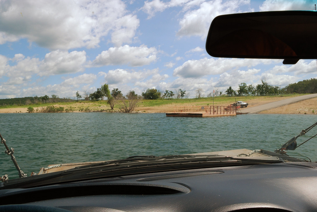
Final approach

This view...and my fat head ruining it. #arkansas #peelarkansas #camping #view #selfie #bigshoalslake #binkysadventures #binkyvacation2016
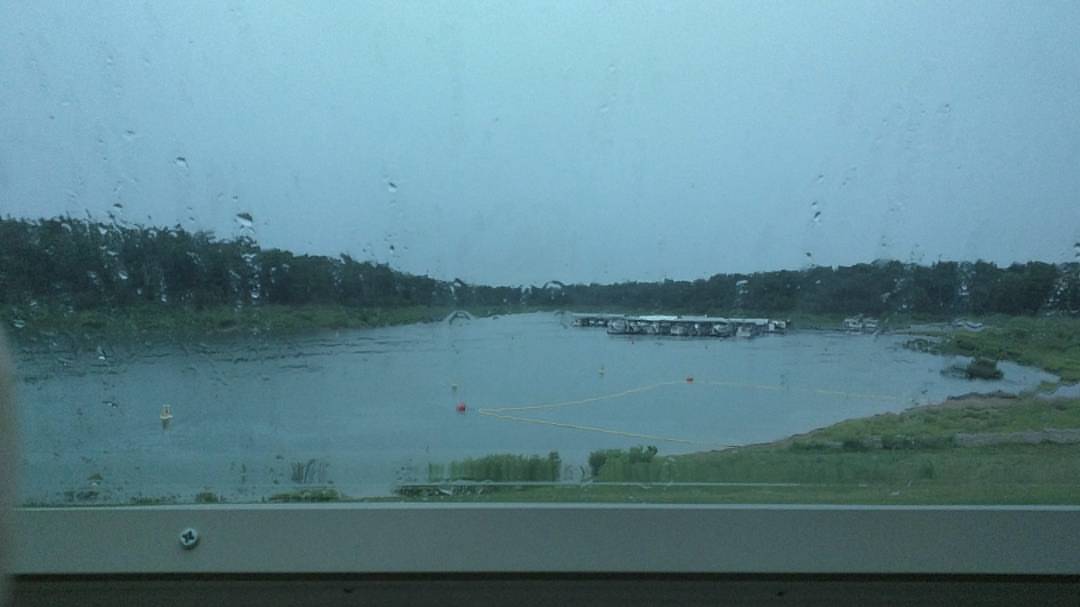
Current camper view. Rainy afternoon. Perfect for a nap before I cook some fresh caught trout. #camping #rain #naptime #awesomeday #binkysadventures #binkyvacation2016

DJT_1283
IMG_4337
IMGP1335

DJT_1215

DJT_1184

DJT_1167
IMG_4261
DJT_0939

DJT_1306
DJT_0951
DJT_1113
DJT_1111
DJT_1079
DJT_0994

DJT_1250
DJT_1044

IMGP0615

DJT_1881

DJT_1248

DJT_1252

DJT_1363
Topographic Map of Peel, AR, USA
Find elevation by address:

Places near Peel, AR, USA:
Peel
AR-, Peel, AR, USA
196 Matherly Rd
Franklin Township
County Road 8041
3061 Co Rd 8041
191 Beachwood St
571 Wilderness Ln
146 Sandlewood Ln
Marion County
Jasper Township
2027 Mc 3057
Bull Shoal-white River State Park
North Joe Burleson Township
24 Roundrock Ln
Snow
Lakeview
277 Surrey Dr
3981 Promise Land Rd
18 Karen Dr
Recent Searches:
- Elevation map of Greenland, Greenland
- Elevation of Sullivan Hill, New York, New York, 10002, USA
- Elevation of Morehead Road, Withrow Downs, Charlotte, Mecklenburg County, North Carolina, 28262, USA
- Elevation of 2800, Morehead Road, Withrow Downs, Charlotte, Mecklenburg County, North Carolina, 28262, USA
- Elevation of Yangbi Yi Autonomous County, Yunnan, China
- Elevation of Pingpo, Yangbi Yi Autonomous County, Yunnan, China
- Elevation of Mount Malong, Pingpo, Yangbi Yi Autonomous County, Yunnan, China
- Elevation map of Yongping County, Yunnan, China
- Elevation of North 8th Street, Palatka, Putnam County, Florida, 32177, USA
- Elevation of 107, Big Apple Road, East Palatka, Putnam County, Florida, 32131, USA
- Elevation of Jiezi, Chongzhou City, Sichuan, China
- Elevation of Chongzhou City, Sichuan, China
- Elevation of Huaiyuan, Chongzhou City, Sichuan, China
- Elevation of Qingxia, Chengdu, Sichuan, China
- Elevation of Corso Fratelli Cairoli, 35, Macerata MC, Italy
- Elevation of Tallevast Rd, Sarasota, FL, USA
- Elevation of 4th St E, Sonoma, CA, USA
- Elevation of Black Hollow Rd, Pennsdale, PA, USA
- Elevation of Oakland Ave, Williamsport, PA, USA
- Elevation of Pedrógão Grande, Portugal