Elevation of Pearman Rd, Altoona, AL, USA
Location: United States > Alabama > Blount County >
Longitude: -86.365107
Latitude: 34.10774
Elevation: 248m / 814feet
Barometric Pressure: 98KPa
Elevation Map:
Satellite Map:
Related Photos:

Stained Glass

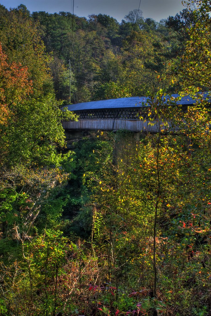
Upstream view of the Horton Mill covered bridge.

Fall Stream
Taking this photo is hazardous to your health.
Beaver's View
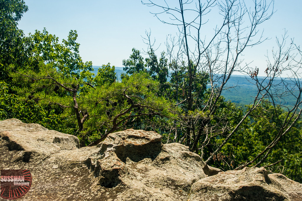
View from Palisades Park
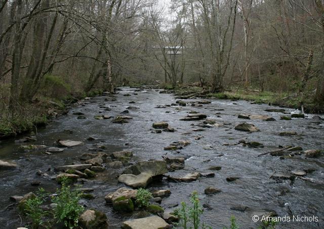
Stream View
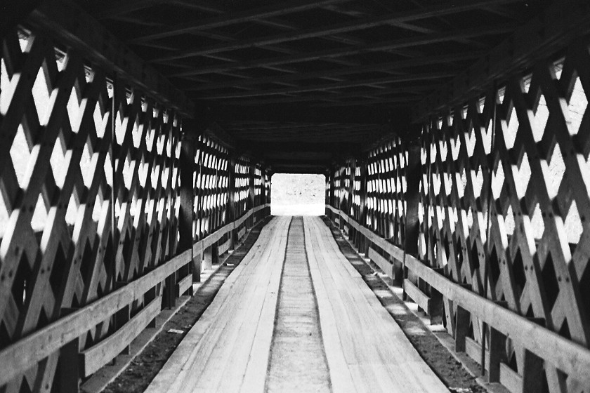
Horton Mill Covered Bridge / P1983-0213a057-25
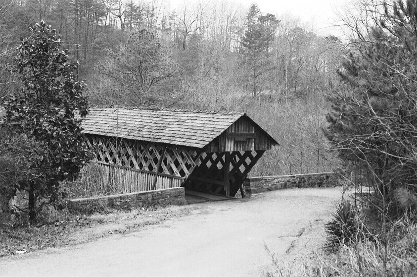
Horton Mill Covered Bridge / P1983-0213a057-28
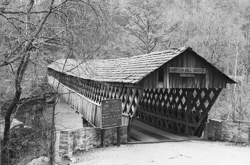
Horton Mill Covered Bridge / P1983-0213a057-24
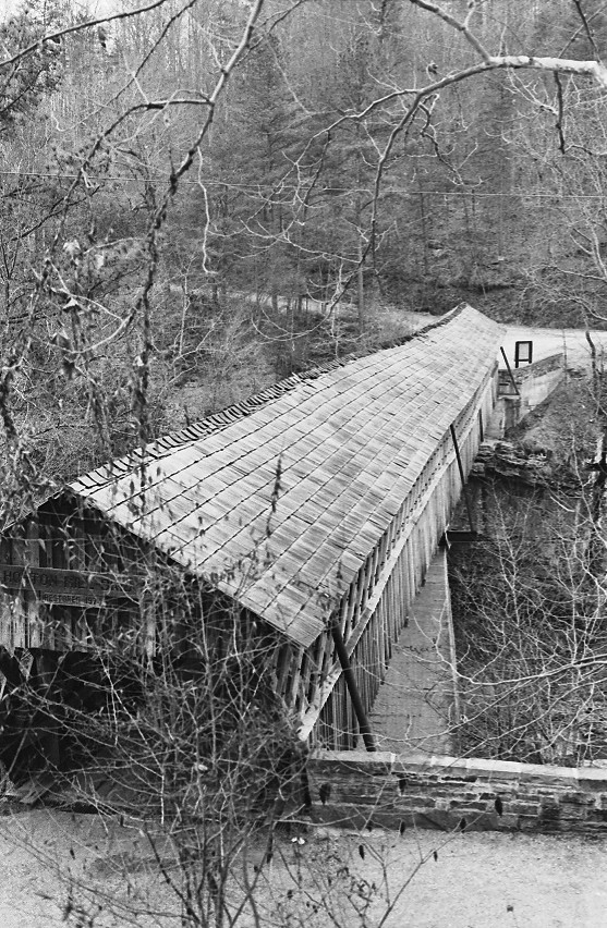
Horton Mill Covered Bridge / P1983-0213a057-27

Walnut Grove

Still Morning
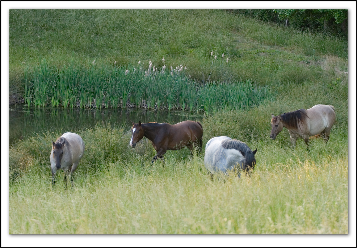
Four Horses

Calvert Prong of Little Warrior River

Heritage Golf Course Clubhouse
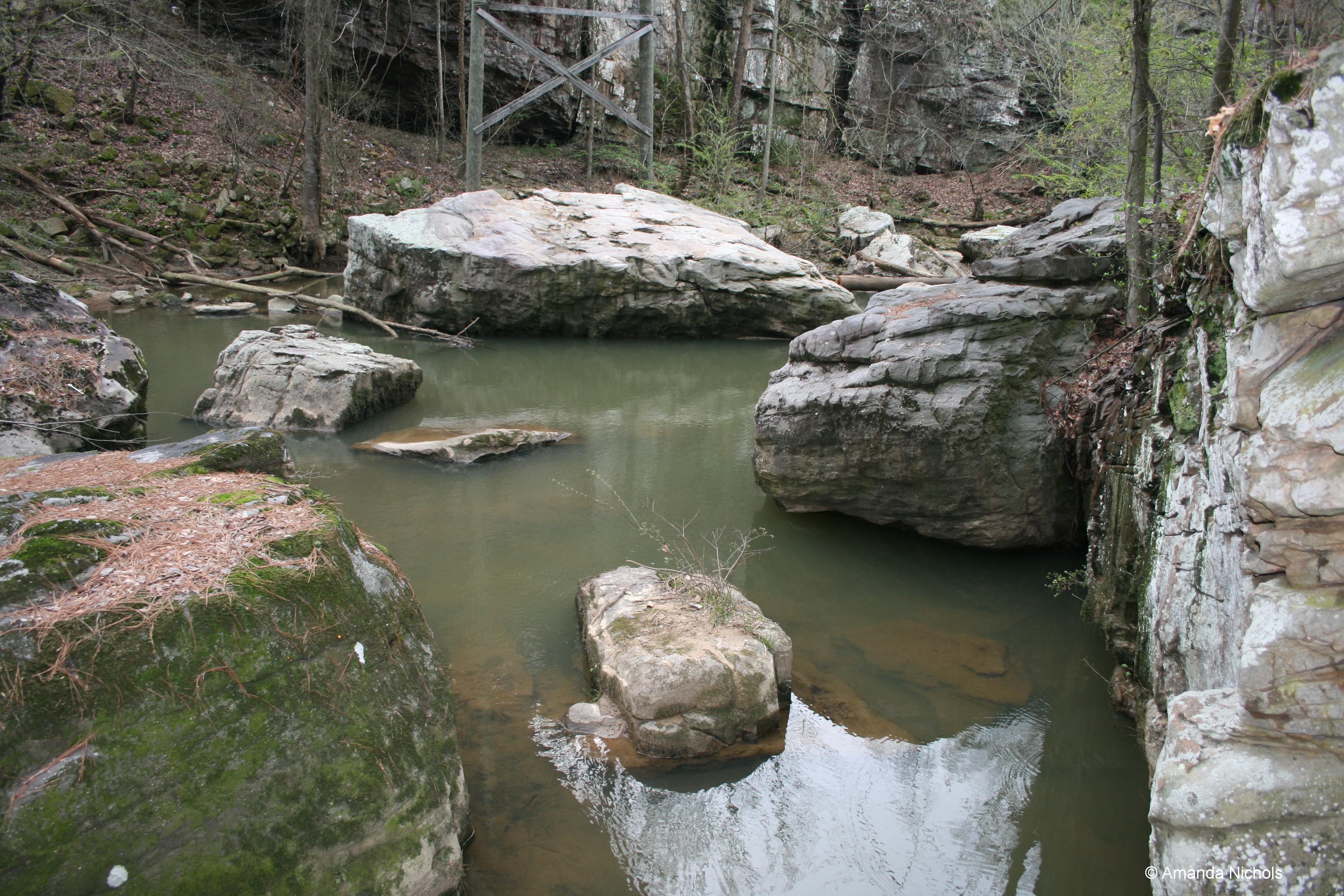
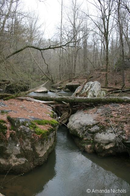
River Rocks
Topographic Map of Pearman Rd, Altoona, AL, USA
Find elevation by address:

Places near Pearman Rd, Altoona, AL, USA:
Snead
AL-75, Altoona, AL, USA
19 Hambrick Dr, Horton, AL, USA
County Hwy 21, Horton, AL, USA
495 Bethleham Rd
Mcclarty
35 Nixon Chapel-Douglas Rd, Horton, AL, USA
1342 Smith Dr
216 Horton-nixon Chapel Rd
Horton
38 Horton-Nixon Chapel Rd, Horton, AL, USA
US-, Blountsville, AL, USA
Nixon Chapel Rd, Horton, AL, USA
230 Bonds Chapel Rd
206 Old Oneonta Rd
58 Maple Dr
AL-, Boaz, AL, USA
AL-, Boaz, AL, USA
Co Rd 91, Albertville, AL, USA
AL-, Boaz, AL, USA
Recent Searches:
- Elevation of Corso Fratelli Cairoli, 35, Macerata MC, Italy
- Elevation of Tallevast Rd, Sarasota, FL, USA
- Elevation of 4th St E, Sonoma, CA, USA
- Elevation of Black Hollow Rd, Pennsdale, PA, USA
- Elevation of Oakland Ave, Williamsport, PA, USA
- Elevation of Pedrógão Grande, Portugal
- Elevation of Klee Dr, Martinsburg, WV, USA
- Elevation of Via Roma, Pieranica CR, Italy
- Elevation of Tavkvetili Mountain, Georgia
- Elevation of Hartfords Bluff Cir, Mt Pleasant, SC, USA