Elevation of AL-75, Altoona, AL, USA

Location: United States > Alabama > Blount County > Snead >

Longitude: -86.397185

Latitude: 34.1181491

Elevation: 246m / 807feet

Barometric Pressure: 98KPa

Elevation Map:

elevation map of AL-75, Altoona, AL, USA

Satellite Map:

Satellite map of AL-75, Altoona, AL, USA

Related Photos:

closeup dragonfly nikkor 105vr diamondclassphotographer bratanesque excapture
Stained Glass
morning bridge spring unitedstates 26 alabama sunny bluesky 66 101 coveredbridge 314 40 135 29 37 35 27 93 31 209 90 39 204 92 oneonta 62 91 248 65 38 191 139 136 133 131 underthebridge 61 288 184 113 134 137 193 216 177 253 249 yesteryear 208 194 247 226 138 176 287 blountcounty oldbridge 244 onelane 269 266
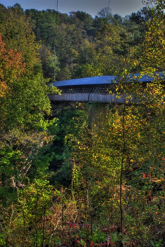
Upstream view of the Horton Mill covered bridge.
water rocks stream coveredbridge hdr oneonta hortonbridge
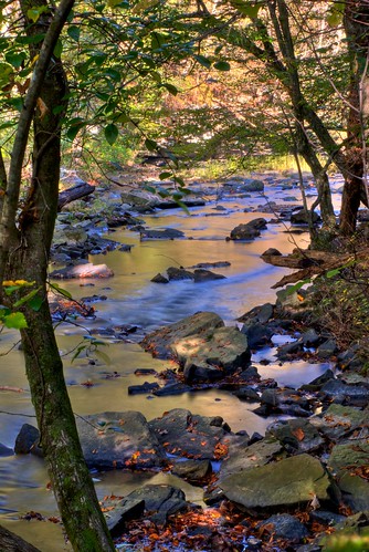
Fall Stream
water rocks coveredbridge hdr oneonta hortonbridge inearlydiedtakingthisphoto
Taking this photo is hazardous to your health.
landscapes
Beaver's View
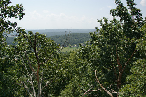
mountain nature alabama palisadespark blountcounty ruralalabama thesussman sonyalphadslra550 sussmanimaging
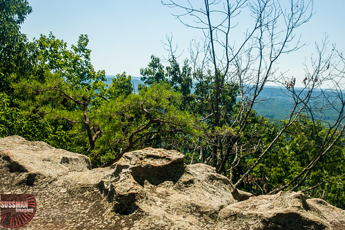
View from Palisades Park
landscapes alabama blountcounty hortonmillbridge
Stream View
Through the Trees
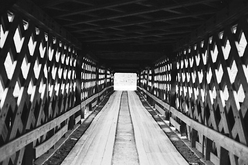
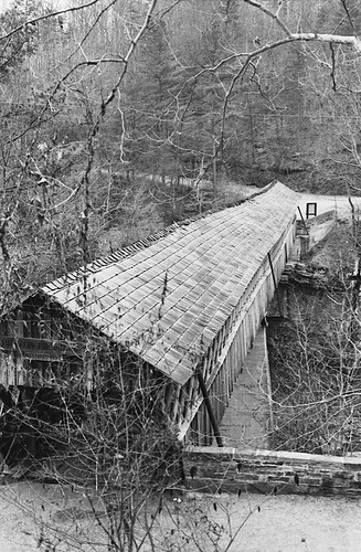
structures coveredbridges streetviews blountcountyalabama nationalregisterofhistoricplaces stateofalabama circa1930s hortonmillcoveredbridge alabamalandmarks bridgesandtunnels oneontaalabama calvertprong stateroute75 alabamaoneonta rolla057 littlewarriorriver townlatticetrussconstruction hortonmillroad alabamacountyblount formatfilm35mmnegativebw year1983pictures cameracanonae1program2067283 canonae1program2067283 calvertprongofthelittlewarriorriver
Horton Mill Covered Bridge / P1983-0213a057-25
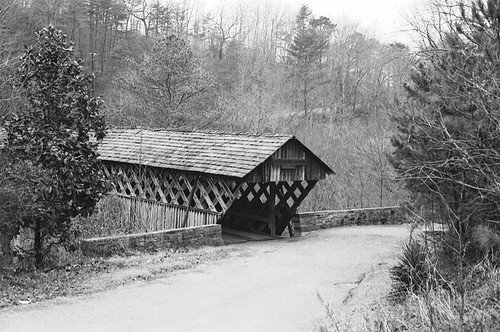
structures coveredbridges streetviews blountcountyalabama nationalregisterofhistoricplaces stateofalabama circa1930s hortonmillcoveredbridge alabamalandmarks bridgesandtunnels oneontaalabama calvertprong stateroute75 alabamaoneonta rolla057 littlewarriorriver townlatticetrussconstruction hortonmillroad alabamacountyblount formatfilm35mmnegativebw year1983pictures cameracanonae1program2067283 canonae1program2067283 calvertprongofthelittlewarriorriver
Horton Mill Covered Bridge / P1983-0213a057-28
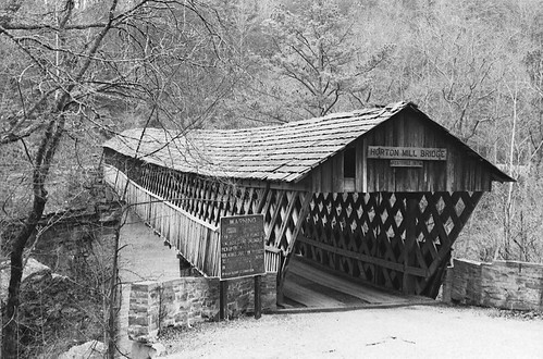
structures coveredbridges streetviews blountcountyalabama nationalregisterofhistoricplaces stateofalabama circa1930s hortonmillcoveredbridge alabamalandmarks bridgesandtunnels oneontaalabama calvertprong stateroute75 alabamaoneonta rolla057 littlewarriorriver townlatticetrussconstruction hortonmillroad alabamacountyblount formatfilm35mmnegativebw year1983pictures cameracanonae1program2067283 canonae1program2067283 calvertprongofthelittlewarriorriver
Horton Mill Covered Bridge / P1983-0213a057-24
structures coveredbridges blountcountyalabama nationalregisterofhistoricplaces stateofalabama circa1930s hortonmillcoveredbridge alabamalandmarks bridgesandtunnels oneontaalabama calvertprong stateroute75 alabamaoneonta rolla057 littlewarriorriver townlatticetrussconstruction hortonmillroad alabamacountyblount formatfilm35mmnegativebw year1983pictures cameracanonae1program2067283 canonae1program2067283 calvertprongofthelittlewarriorriver
Horton Mill Covered Bridge / P1983-0213a057-27
morning bridge spring stream unitedstates 26 alabama sunny bluesky 66 101 coveredbridge 314 40 135 29 37 35 27 93 31 209 90 39 204 92 oneonta 62 91 248 65 38 191 139 136 133 131 underthebridge 61 288 184 113 134 137 193 216 177 253 249 yesteryear 208 194 247 226 138 176 287 blountcounty oldbridge 244 onelane 269 266 calvertprong lilltewarriorriver
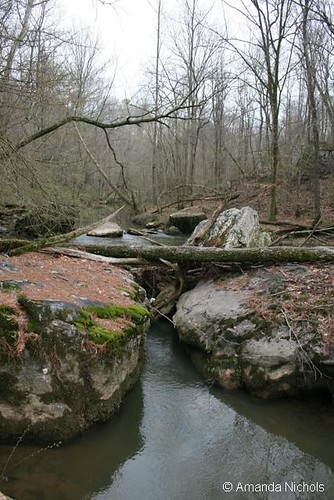
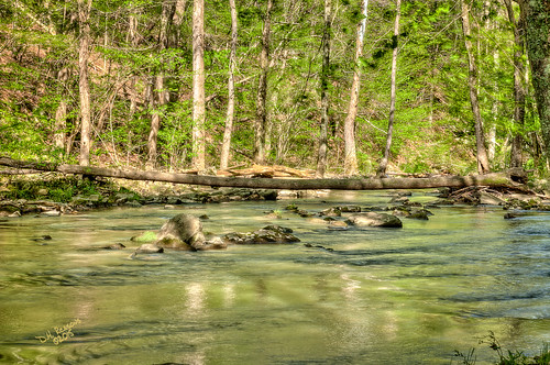
Calvert Prong of Little Warrior River
landscapes rocks stream alabama hortonmillbridge blountcouty
River Rocks
usa union alabama confederate civilwar csa americancivilwar nathanbedfordforrest streightsraid abelstreight dykesbridge
Walnut Grove
horse water framed canon20d alabama 123 pasture vegetation canon70200f4l naturesfinest flickrexplore canon70200mmf4l supershot napg
Four Horses
Heritage Golf Course Clubhouse
Still Morning