Elevation of Peak Buildings, Terrace Rd, Buxton, Derbyshire SK17 6DY, UK
Location: United Kingdom > Derbyshire > Buxton >
Longitude: -1.9130745
Latitude: 53.2567188
Elevation: 317m / 1040feet
Barometric Pressure: 98KPa
Elevation Map:
Satellite Map:
Related Photos:

Frozen sunset
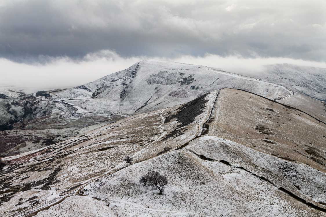
Mam Tor.
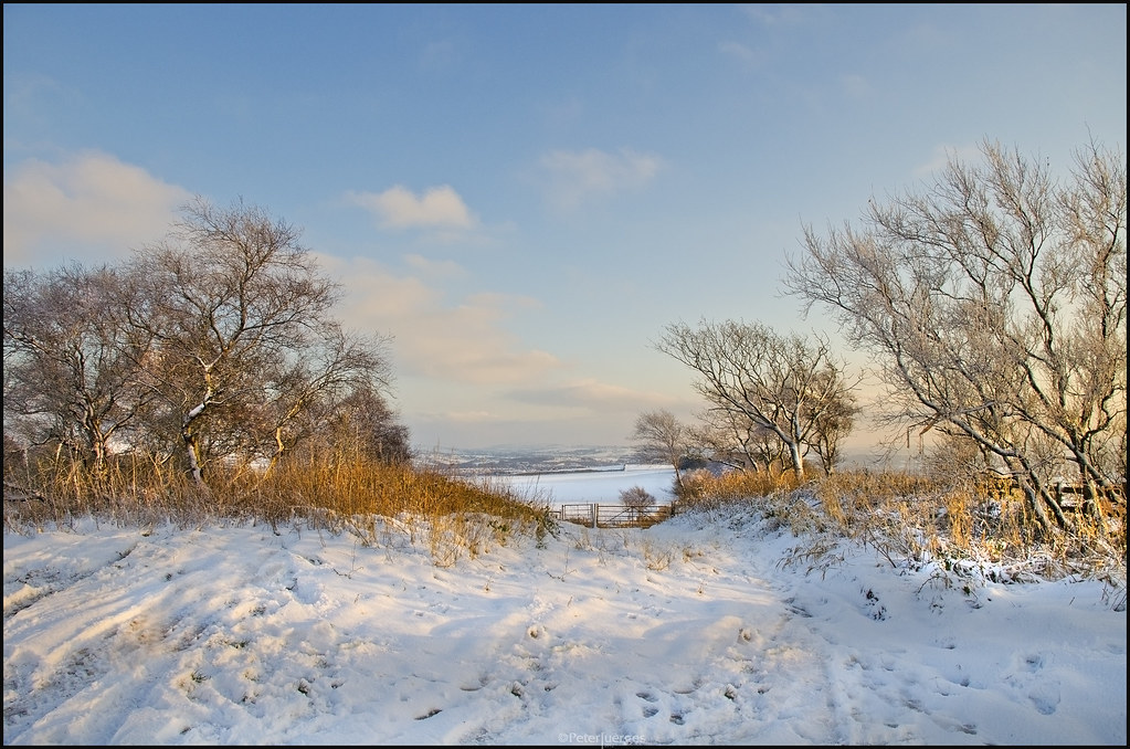
Winter Idyll
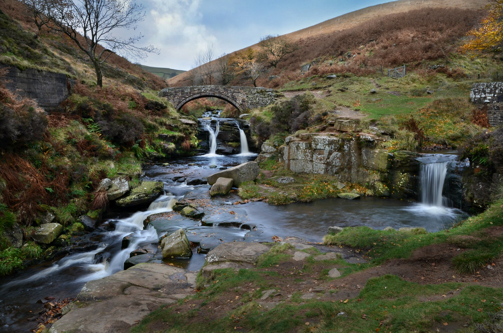
Three Shires Head

Roach End Barn
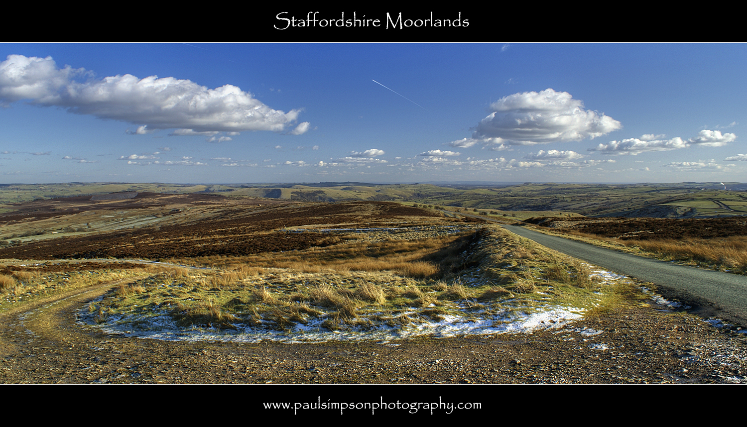
Staffordshire Moors

The Cloud
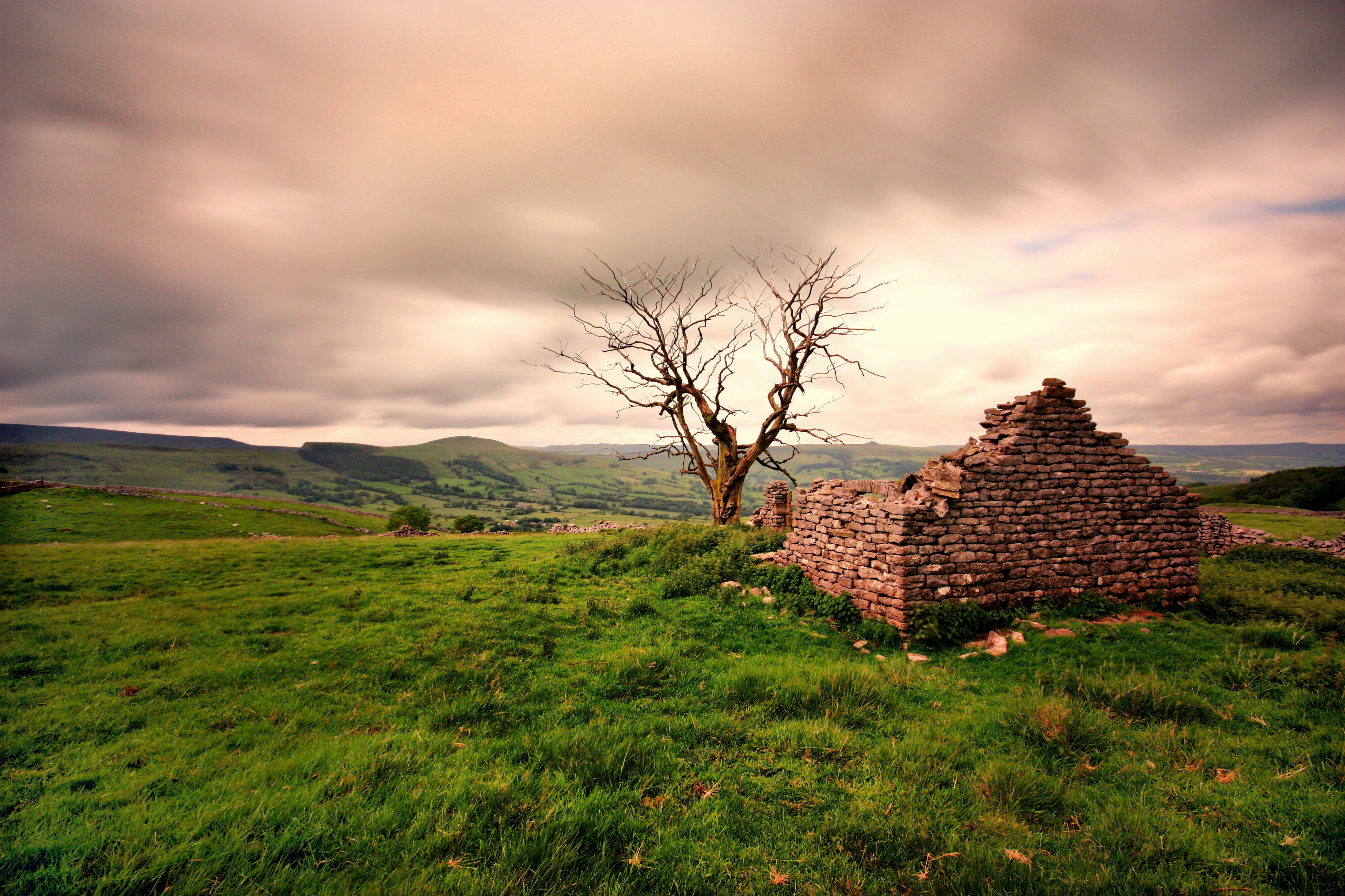
Ruined Barn near Castleton
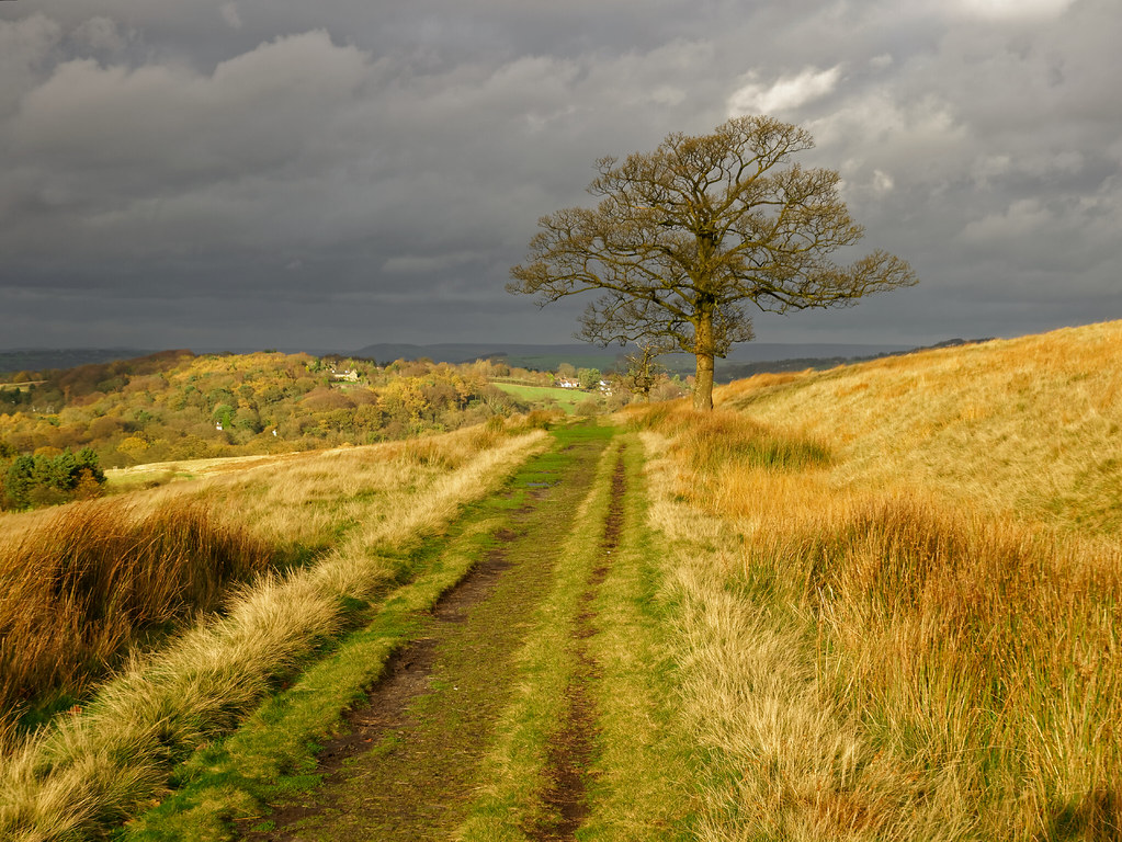
A November view

Peak District National Park

Chrome Hill & Parkhouse Hill, Peak District
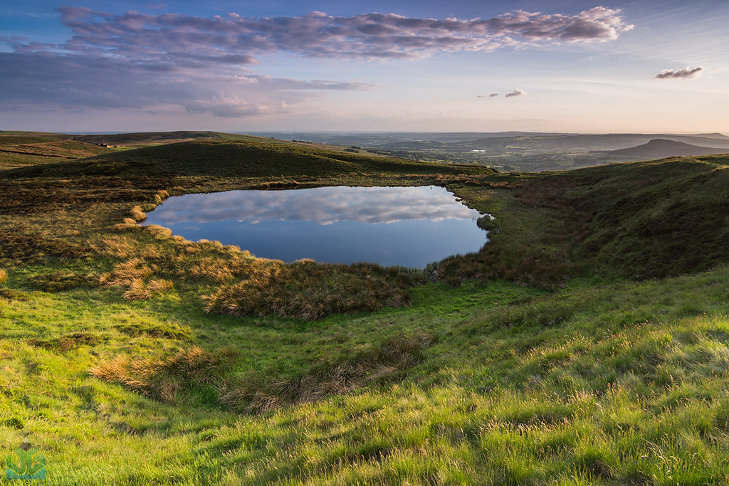
Blake Mere
View from Monsal Head
Monsal Head
Shutlingslow, Cheshire

View from Windgather Rocks
Hope Valley - iPhone shot
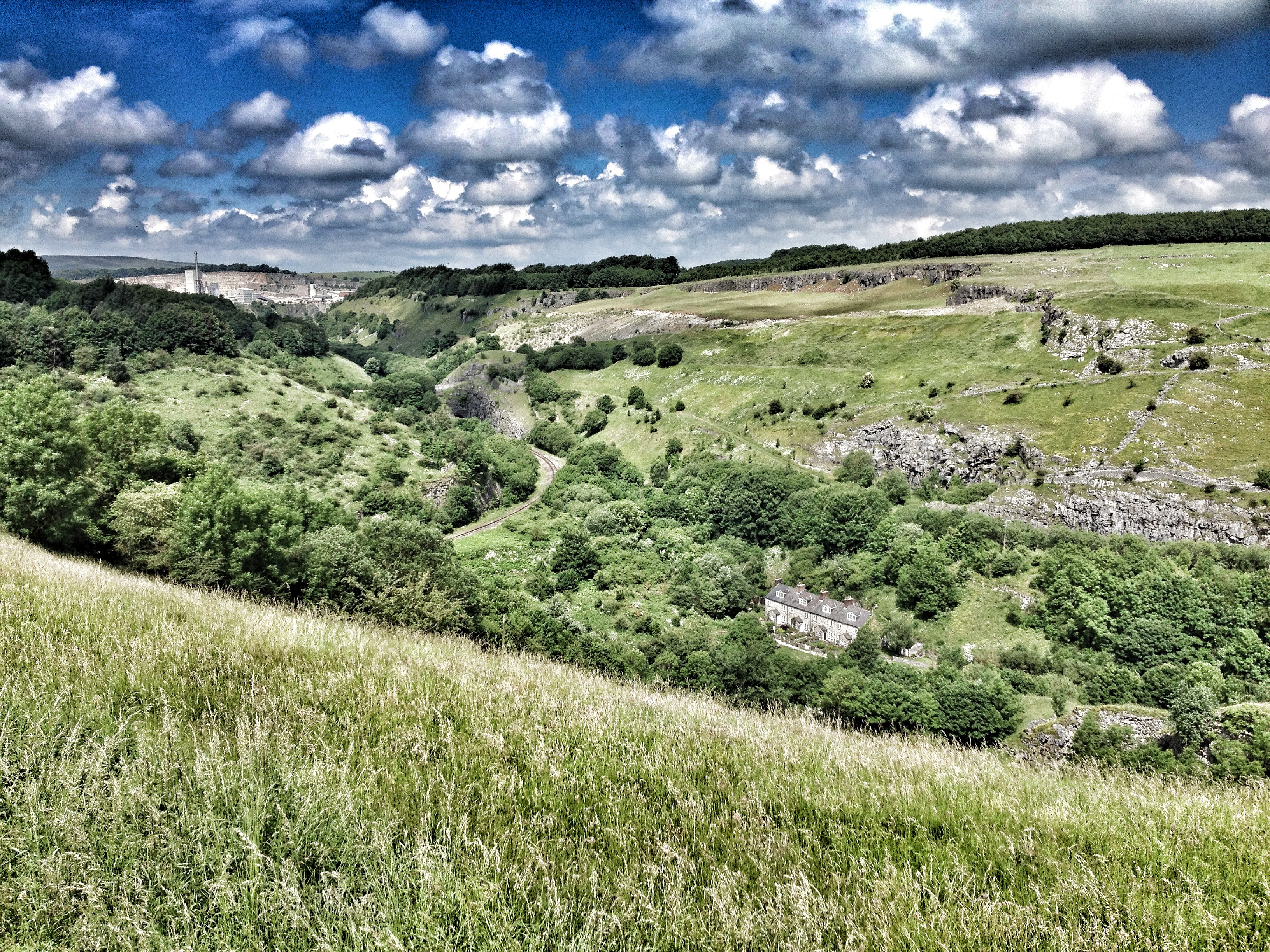
Lathkill Dale
Lunch time view
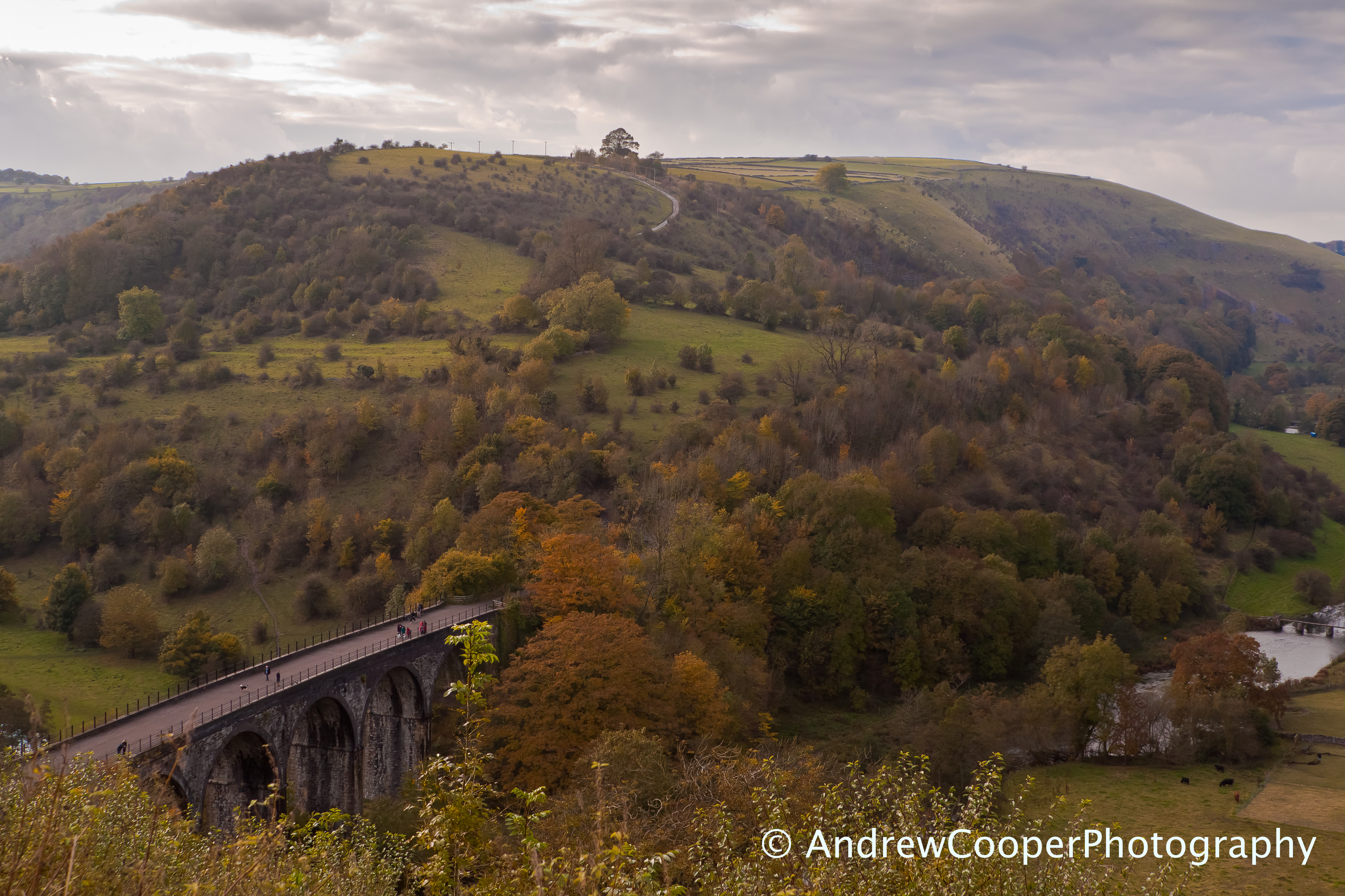
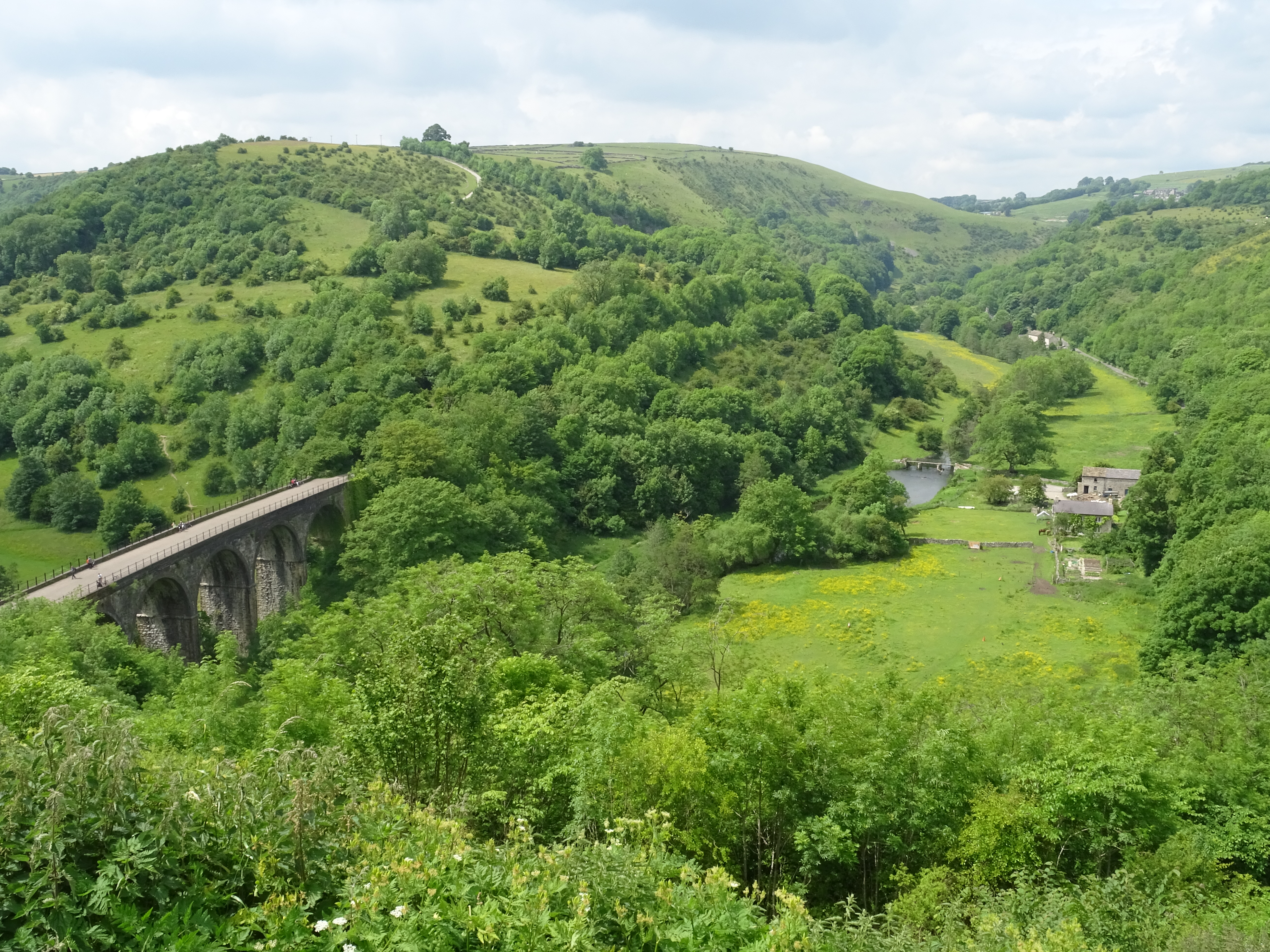
Monsal Head and Viaduct
View towards Lose Hill from top of Cave Dale
Topographic Map of Peak Buildings, Terrace Rd, Buxton, Derbyshire SK17 6DY, UK
Find elevation by address:

Places near Peak Buildings, Terrace Rd, Buxton, Derbyshire SK17 6DY, UK:
Three Shires Properties
Market Place Car Park
Buxton
High Street
19 Spencer Rd
Harpur Hill
Sk17 9sz
Sk17 9rz
A53, Buxton SK17, UK
Derbyshire Bridge Car Park - Peak District Np
Sk17
Sk17 9sg
Flash
Cat And Fiddle Inn
Chelmorton
Longnor
Shining Tor
Blackwell
Sk17 9qg
Sk11 0ar
Recent Searches:
- Elevation of Corso Fratelli Cairoli, 35, Macerata MC, Italy
- Elevation of Tallevast Rd, Sarasota, FL, USA
- Elevation of 4th St E, Sonoma, CA, USA
- Elevation of Black Hollow Rd, Pennsdale, PA, USA
- Elevation of Oakland Ave, Williamsport, PA, USA
- Elevation of Pedrógão Grande, Portugal
- Elevation of Klee Dr, Martinsburg, WV, USA
- Elevation of Via Roma, Pieranica CR, Italy
- Elevation of Tavkvetili Mountain, Georgia
- Elevation of Hartfords Bluff Cir, Mt Pleasant, SC, USA