Elevation of Cat and Fiddle Inn, Macclesfield SK11 0BE, UK
Location: United Kingdom > England > Cheshire East >
Longitude: -1.991534
Latitude: 53.239813
Elevation: 502m / 1647feet
Barometric Pressure: 95KPa
Elevation Map:
Satellite Map:
Related Photos:
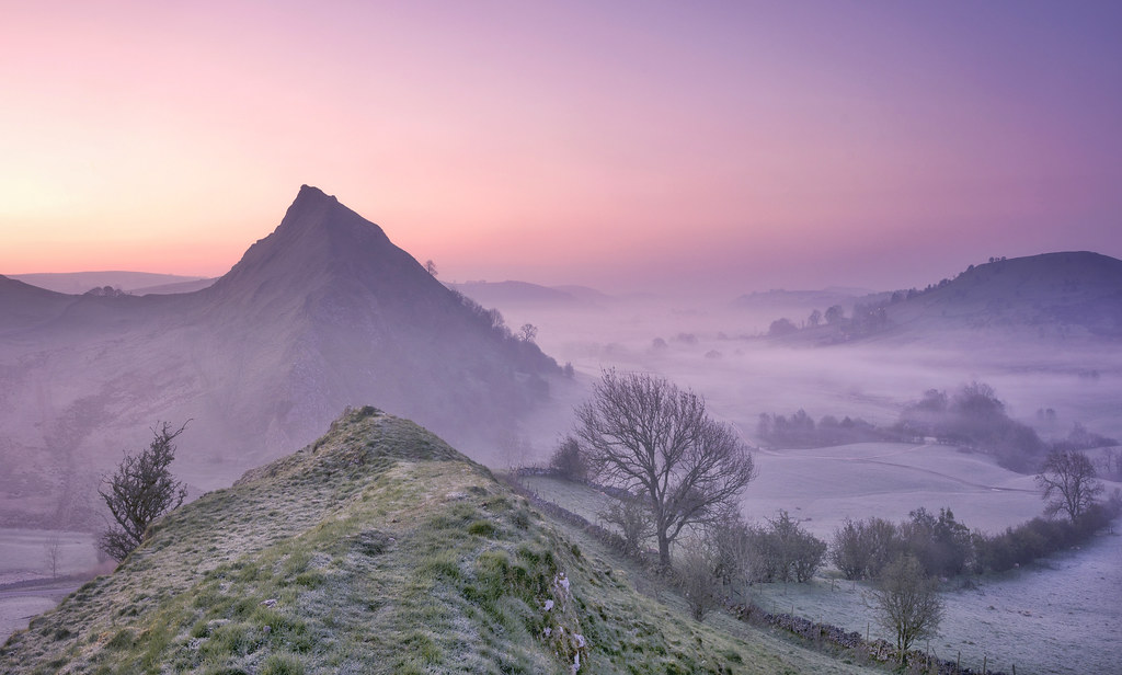
Pastel Peaks
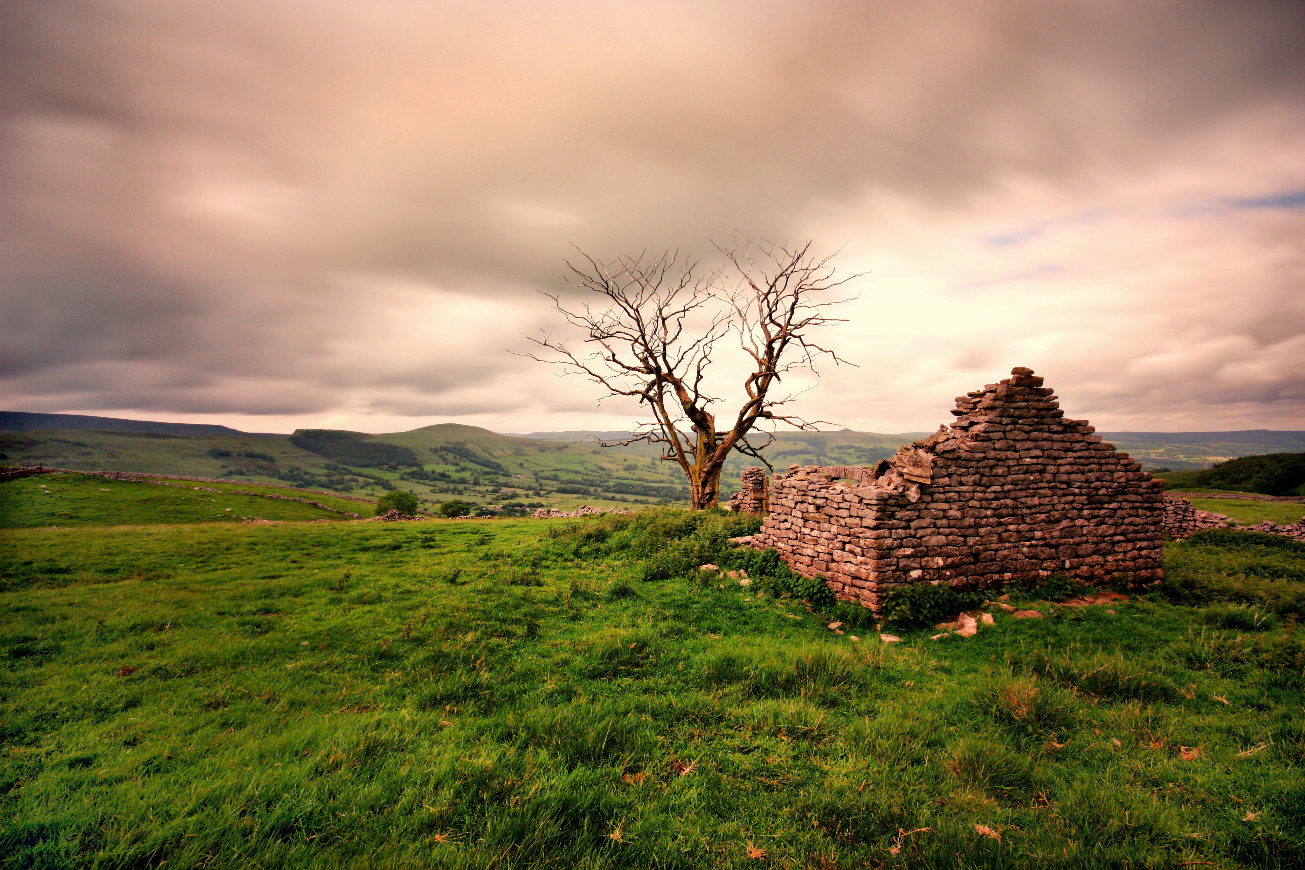
Ruined Barn near Castleton
East view from S slope of Shutlingsloe hill, nr Wildboarclough, UK
South Head summit
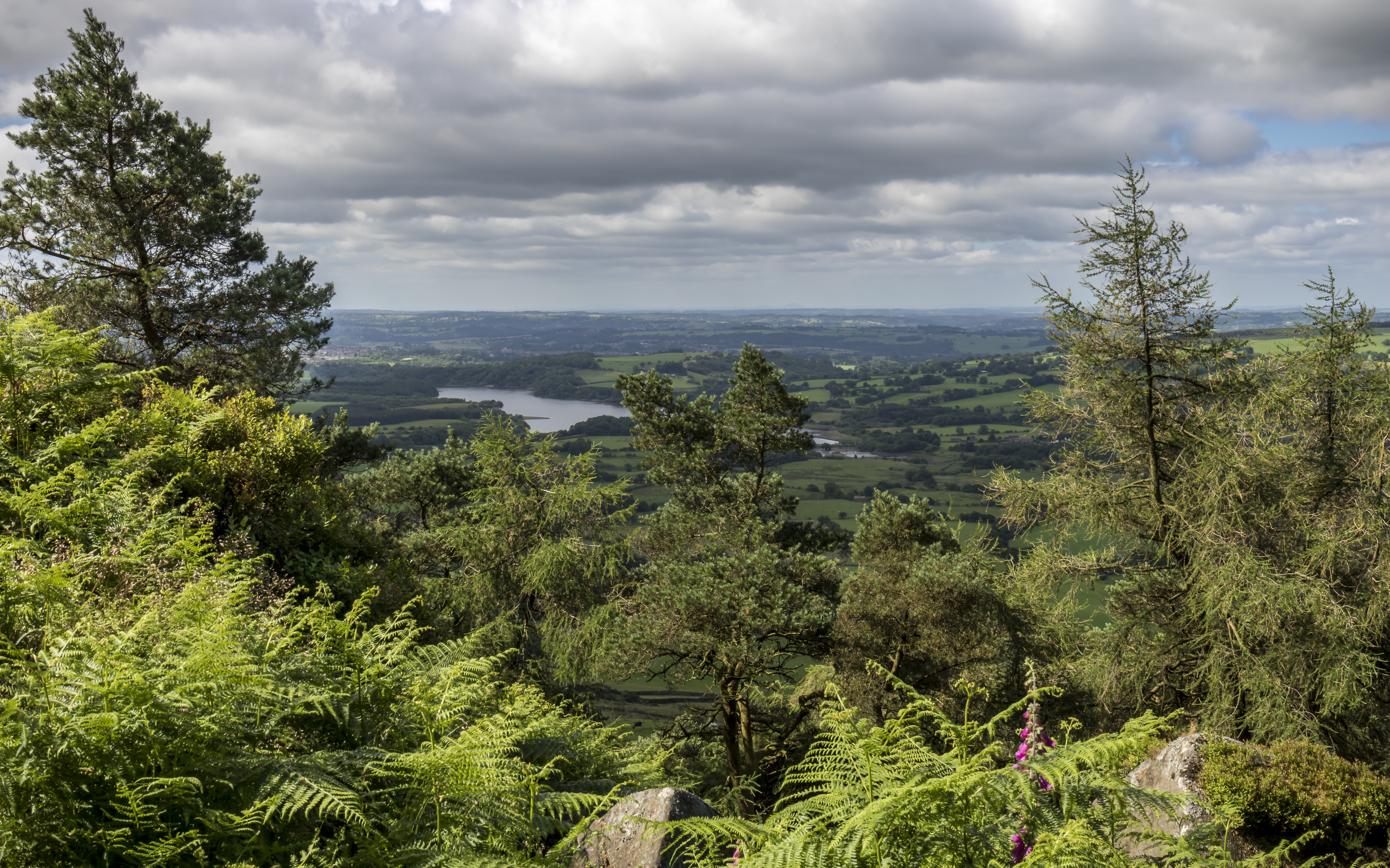
Up Above The Trees
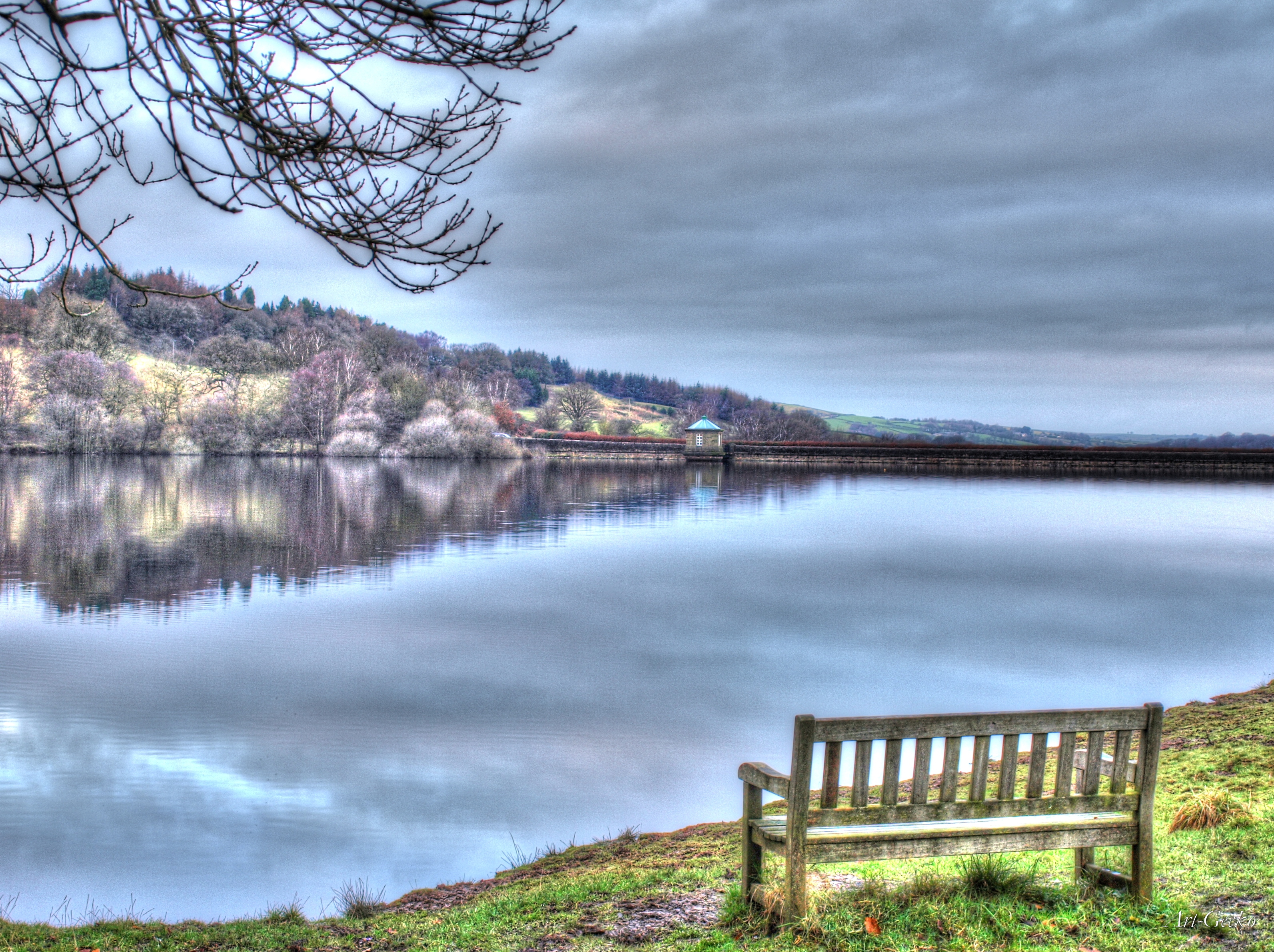
A Bench With A View

Chrome Hill from Parkhouse hill

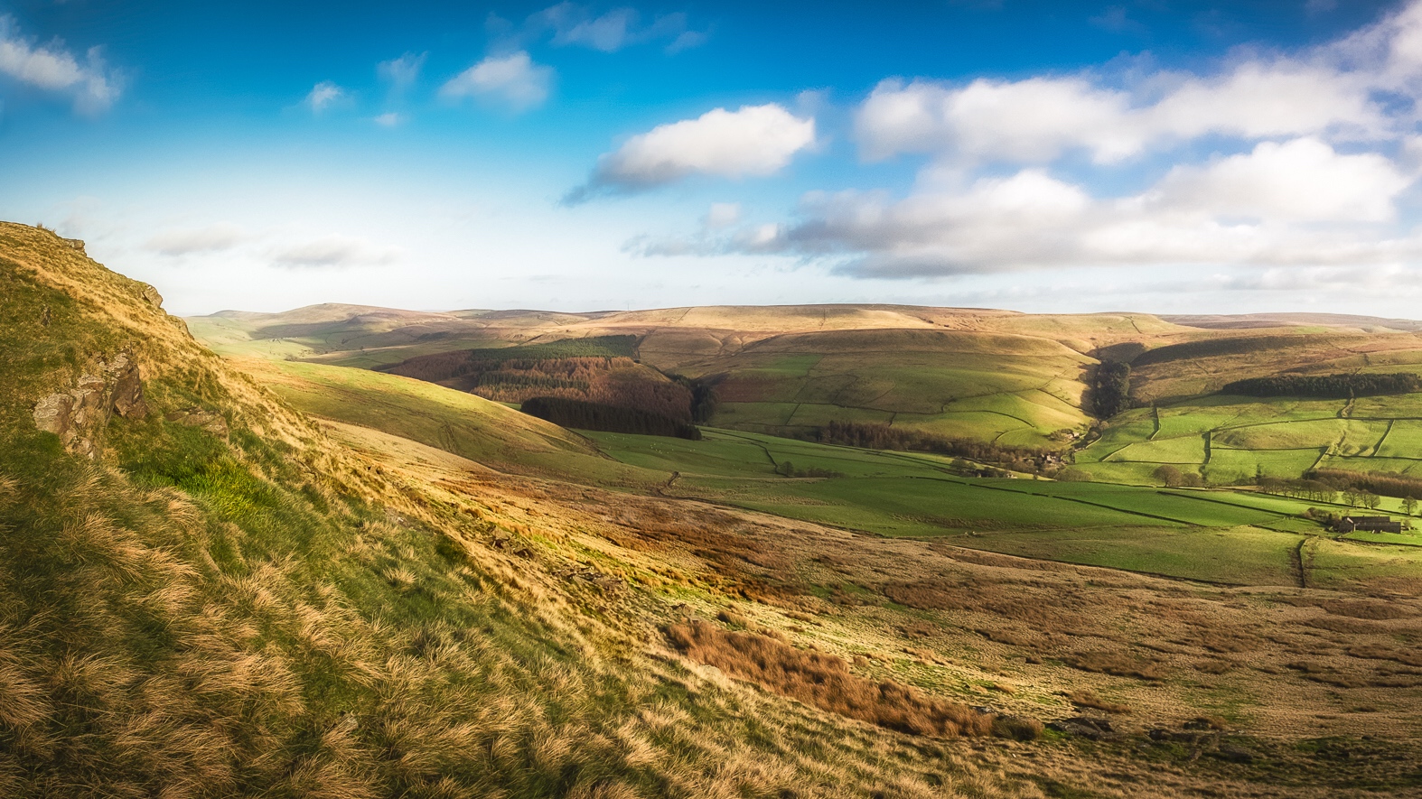
Coombs from Eccles Pike
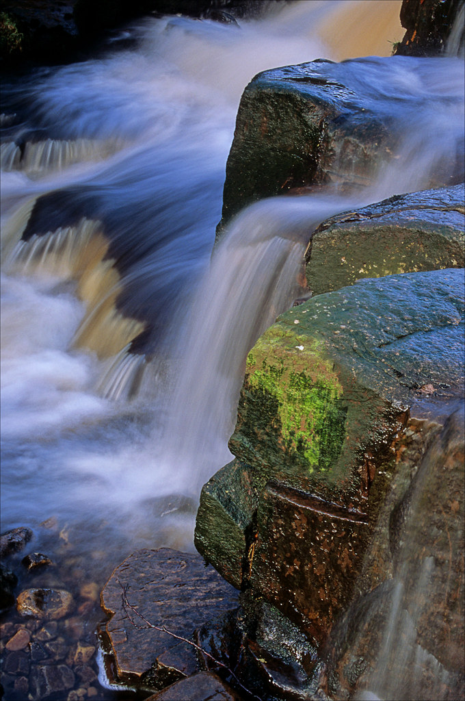
rushing by
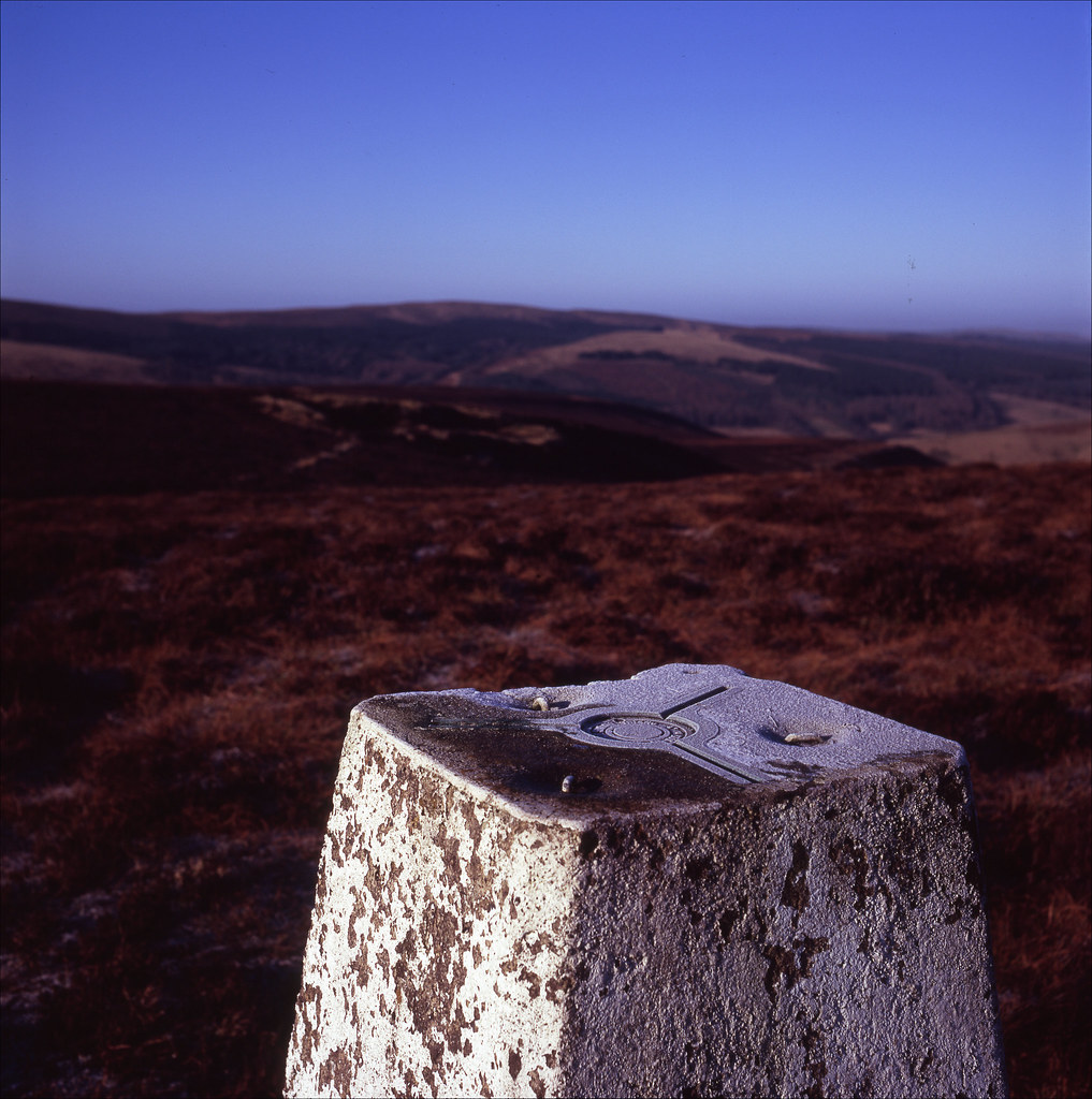
frosted topping

April showers in the Goyt valley

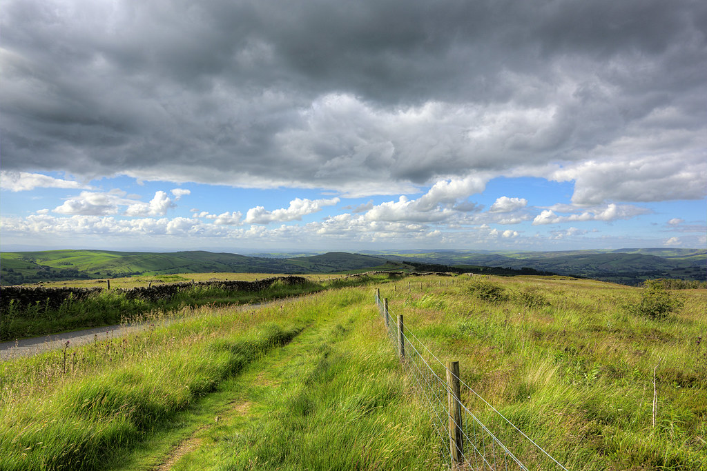
Cat & Fiddle Loop
Pyms View

Ramshaw rocks
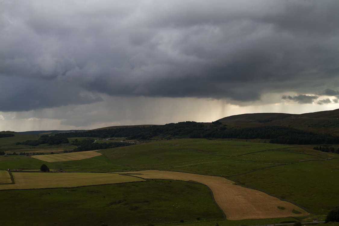
Rain clouds

ON OUR WAY.
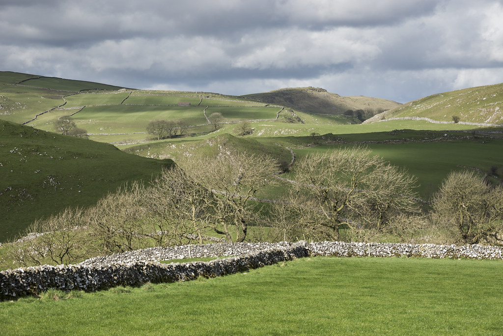
Sunny day in the White Peak
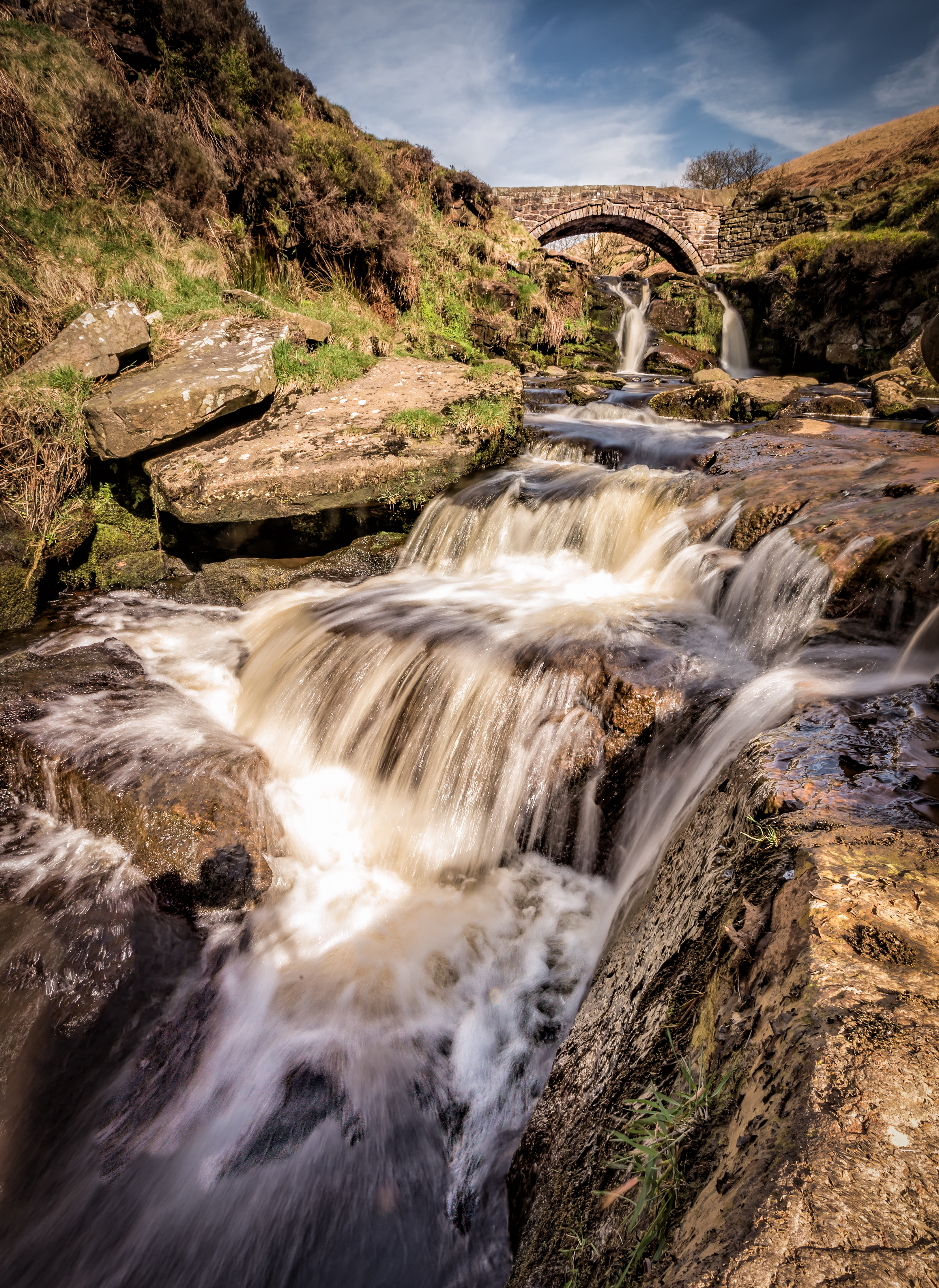
Panniers Pool Cascade

Peak View

View from Chrome Hill, Peak District

Eldon Hill Panorama
Chrome hill (explore)
Morning Sun

Trees and Fields

Litton Fields at Sunrise
Parkhouse and Chrome Hills
Spring Evening, Hen Cloud
Storm Clouds and Golden Fields
Mood change over Chrome Hill

Taddington.
The Promise of Things to Come..
Dreamy Feelings
A Year in the Life
panniers pool
Parkhouse Hill and the Dove Valley
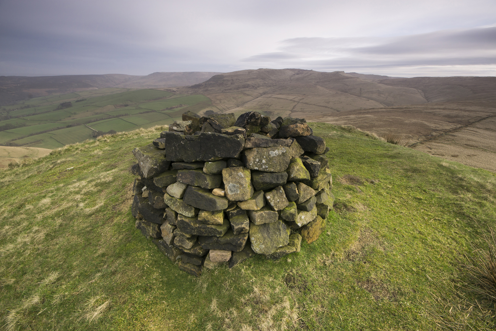
South Head
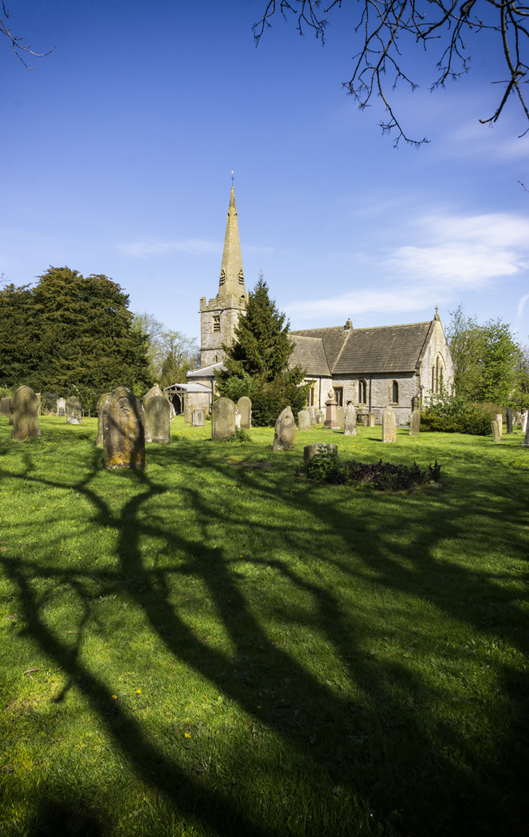
St Leonards Church, Monyash

South Head
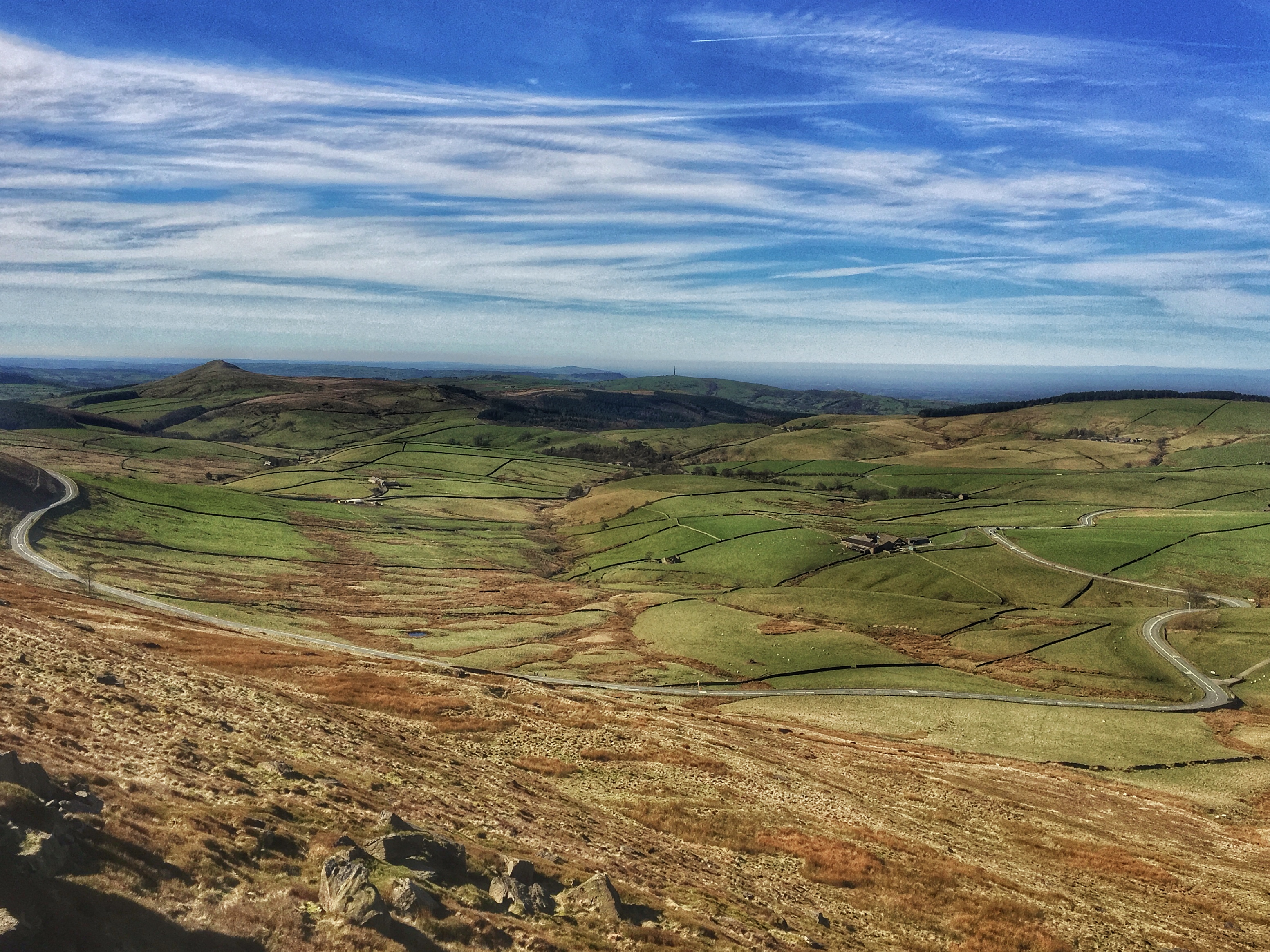
View from Shining Tor, Peak District.
Topographic Map of Cat and Fiddle Inn, Macclesfield SK11 0BE, UK
Find elevation by address:

Places near Cat and Fiddle Inn, Macclesfield SK11 0BE, UK:
Derbyshire Bridge Car Park - Peak District Np
Shining Tor
Sk11 0ar
Sk11 0be
Wildboarclough
A53, Buxton SK17, UK
Flash
The Roaches
19 Spencer Rd
High Street
Market Place Car Park
Buxton
Three Shires Properties
Peak Buildings
Ramshaw Rocks Layby
Tegg's Nose Country Park
Harpur Hill
Tegg's Nose
Sk17 9rz
Sk17 9sz
Recent Searches:
- Elevation of Corso Fratelli Cairoli, 35, Macerata MC, Italy
- Elevation of Tallevast Rd, Sarasota, FL, USA
- Elevation of 4th St E, Sonoma, CA, USA
- Elevation of Black Hollow Rd, Pennsdale, PA, USA
- Elevation of Oakland Ave, Williamsport, PA, USA
- Elevation of Pedrógão Grande, Portugal
- Elevation of Klee Dr, Martinsburg, WV, USA
- Elevation of Via Roma, Pieranica CR, Italy
- Elevation of Tavkvetili Mountain, Georgia
- Elevation of Hartfords Bluff Cir, Mt Pleasant, SC, USA