Elevation of Peach Valley Rd, Delta, CO, USA
Location: United States > Colorado > Delta County > Delta >
Longitude: -107.913
Latitude: 38.7172
Elevation: 1608m / 5276feet
Barometric Pressure: 83KPa
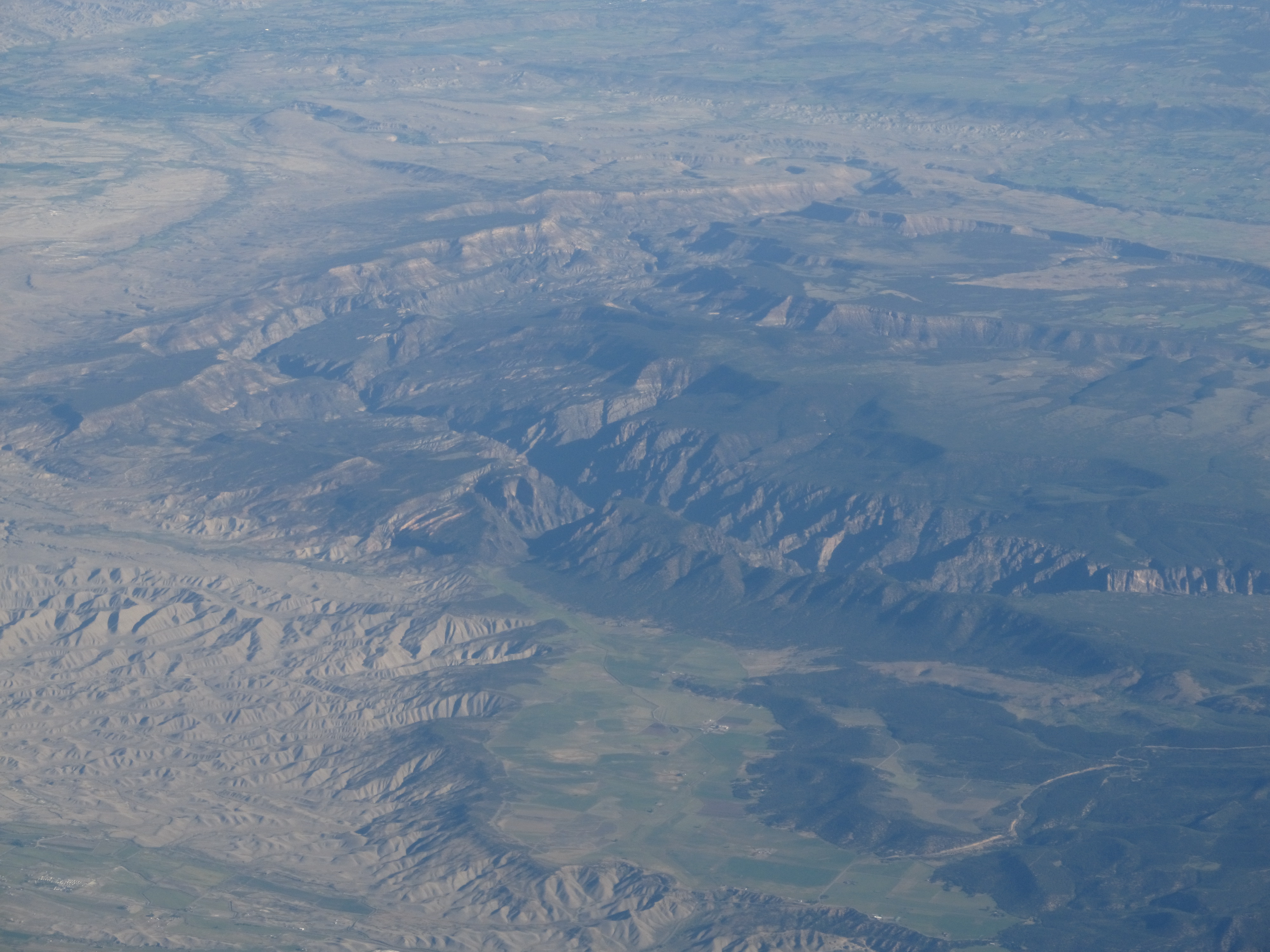
Elevation Map:
Satellite Map:
Related Photos:

Pacing on Highway 92

_CEC9521 IOOF Meeting Hall - 1927

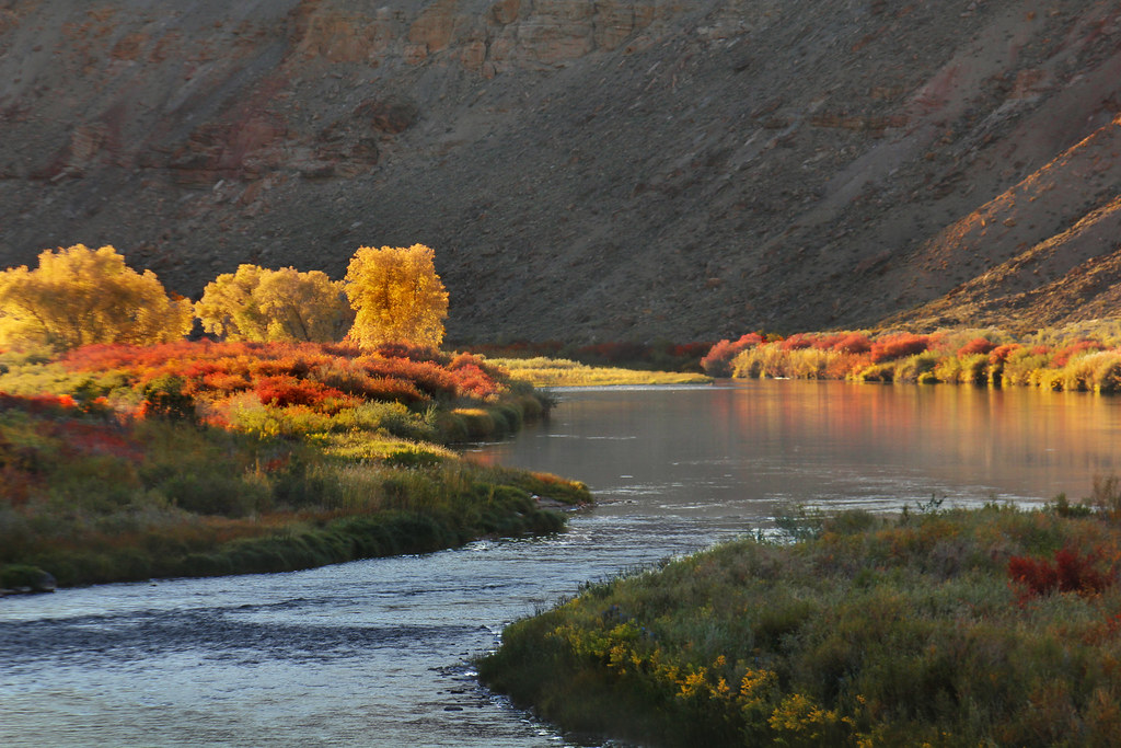
Highway 92 - Delta County, CO

2012-02-05_UP_94 Union Pacific freight at junction of main track

Old farm equipment #2
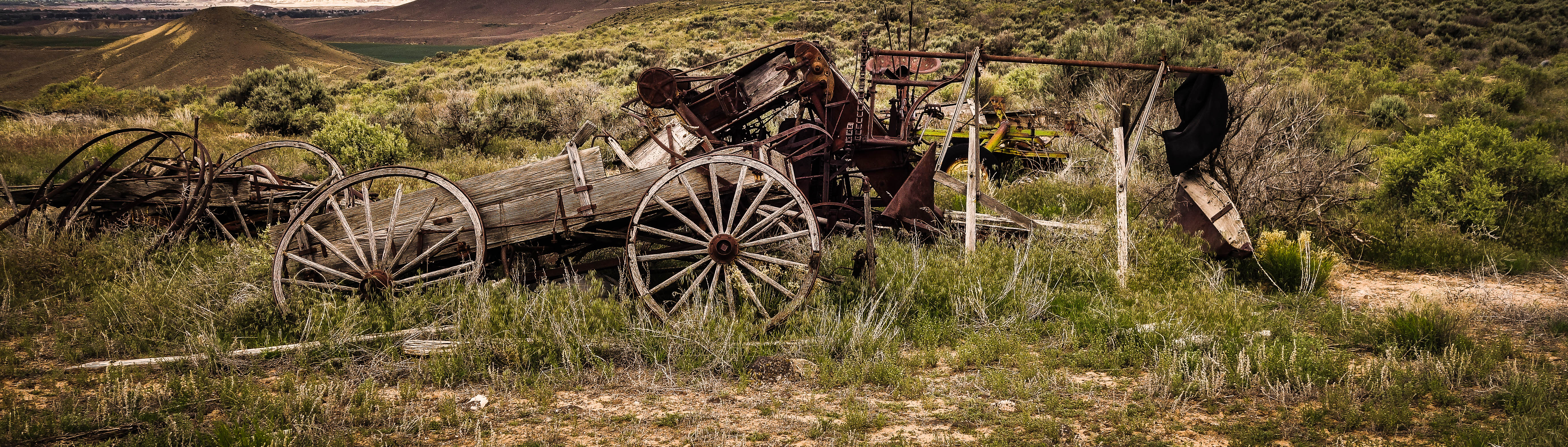
Old farm equipment #1
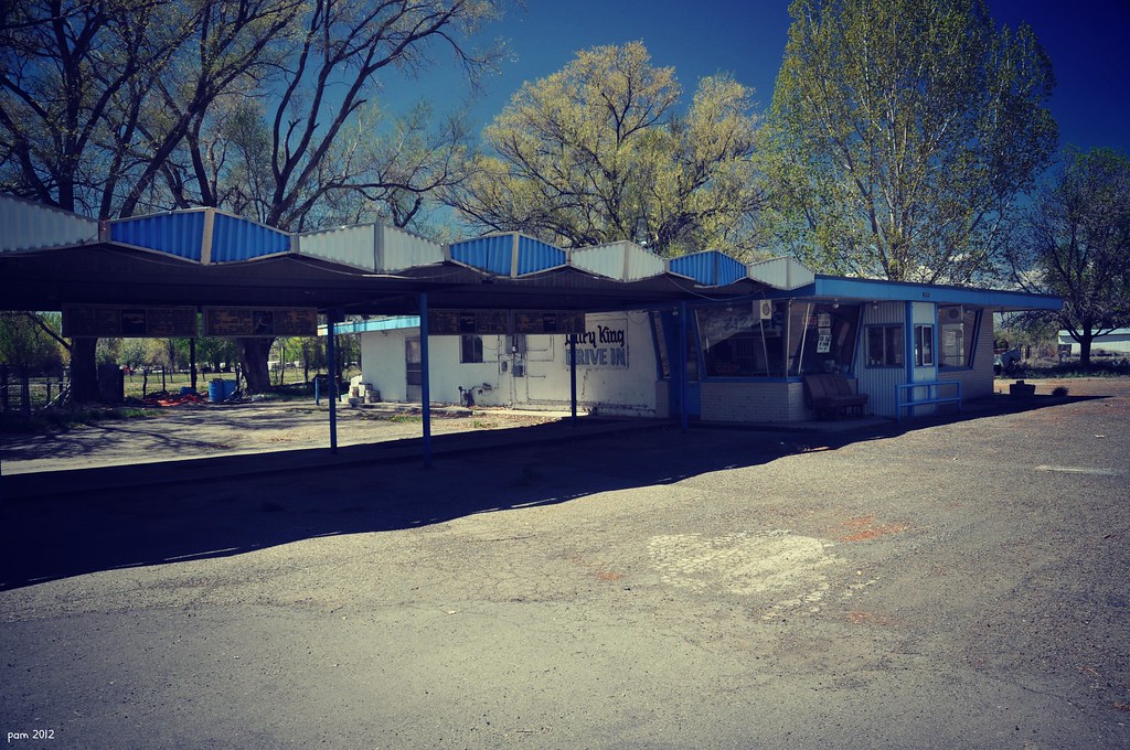
Yet Another View of The Drive In
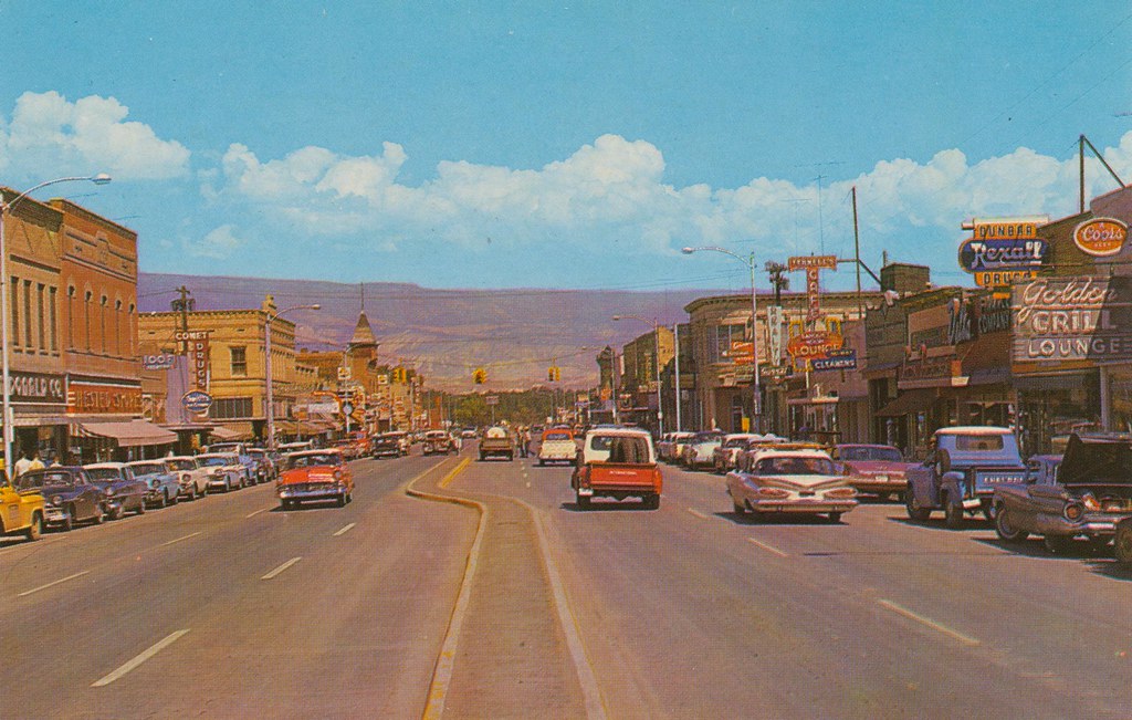
Business Section - Delta, Colorado

Like a toothless grin
Underground Uncompahgre #22

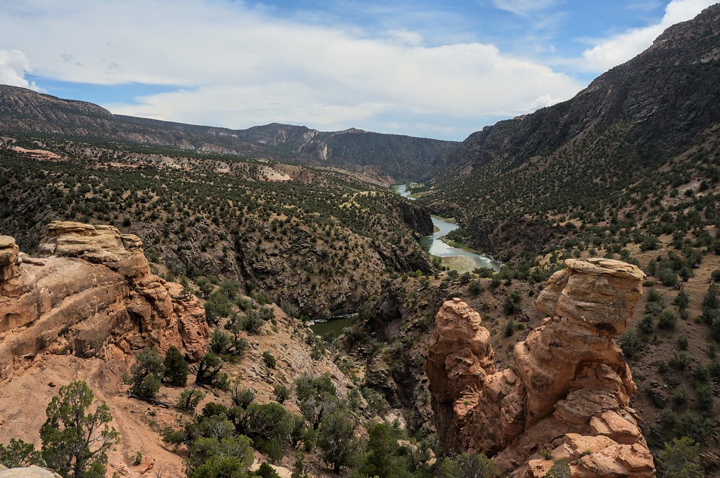
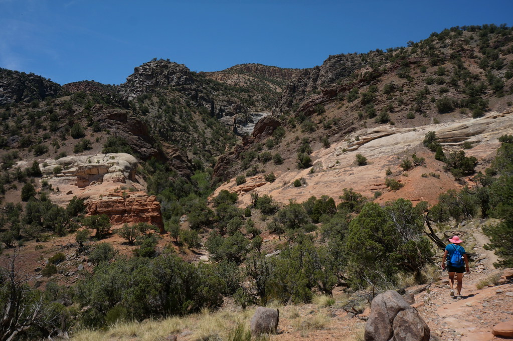
Gunnison Gorge from the trail

First Methodist Episcopal Church of Delta

_CEC6667 The Hanging Bridge
Black Canyon of the Gunnison National Park, Colorado

Young's Mountain View Orchard & Winery

Coffee and a cigarette

Mountain View Bible Church
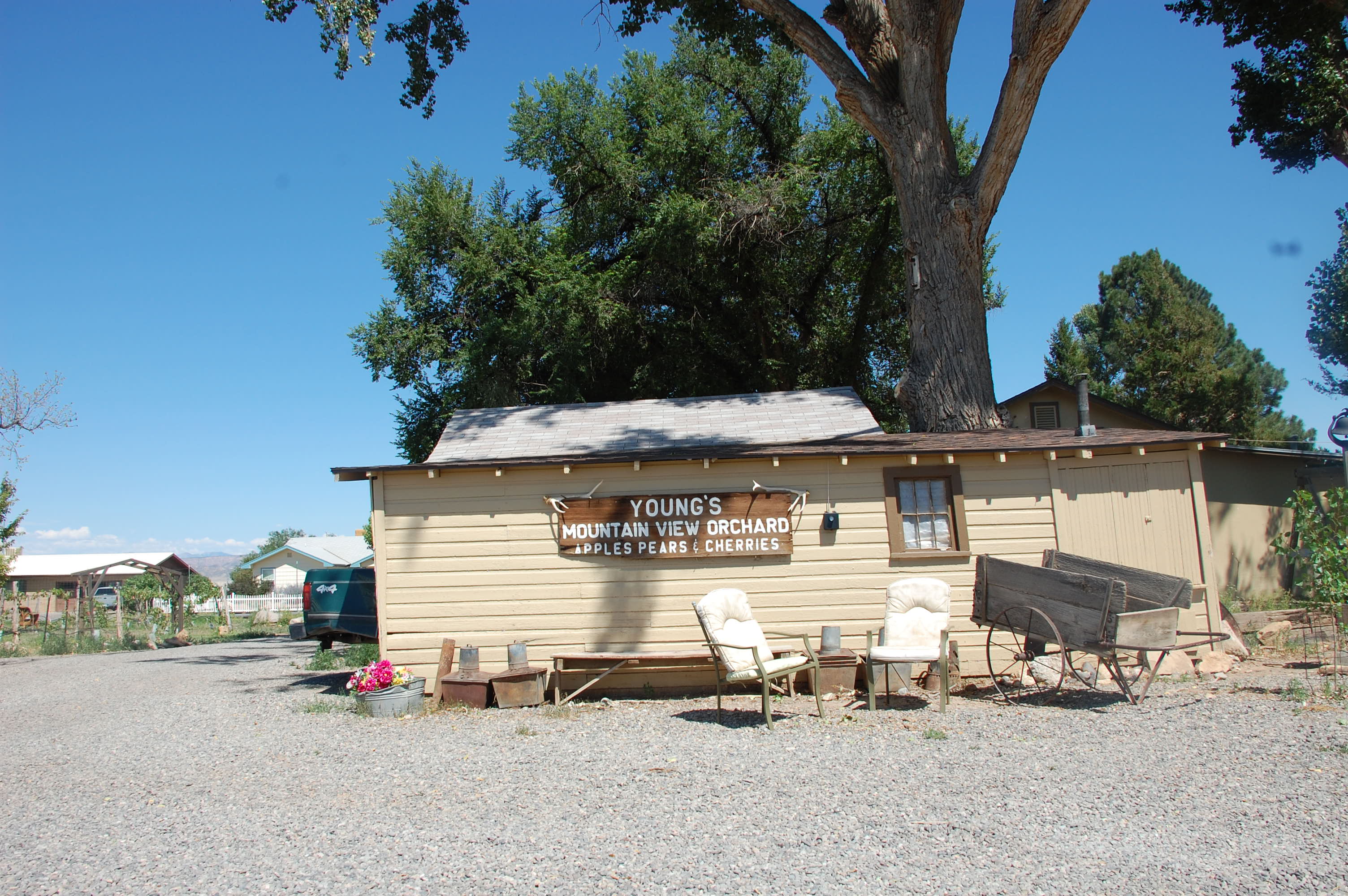
Young's Mountain View Orchard & Winery

Young's Mountain View Orchard & Winery

Evening Clouds
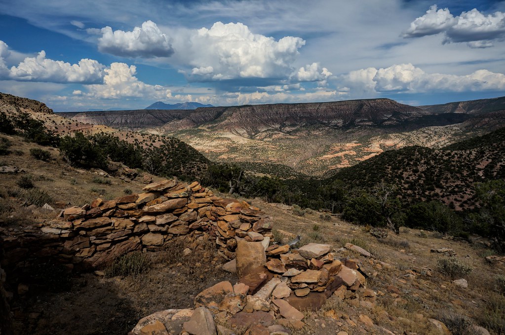
little ruin
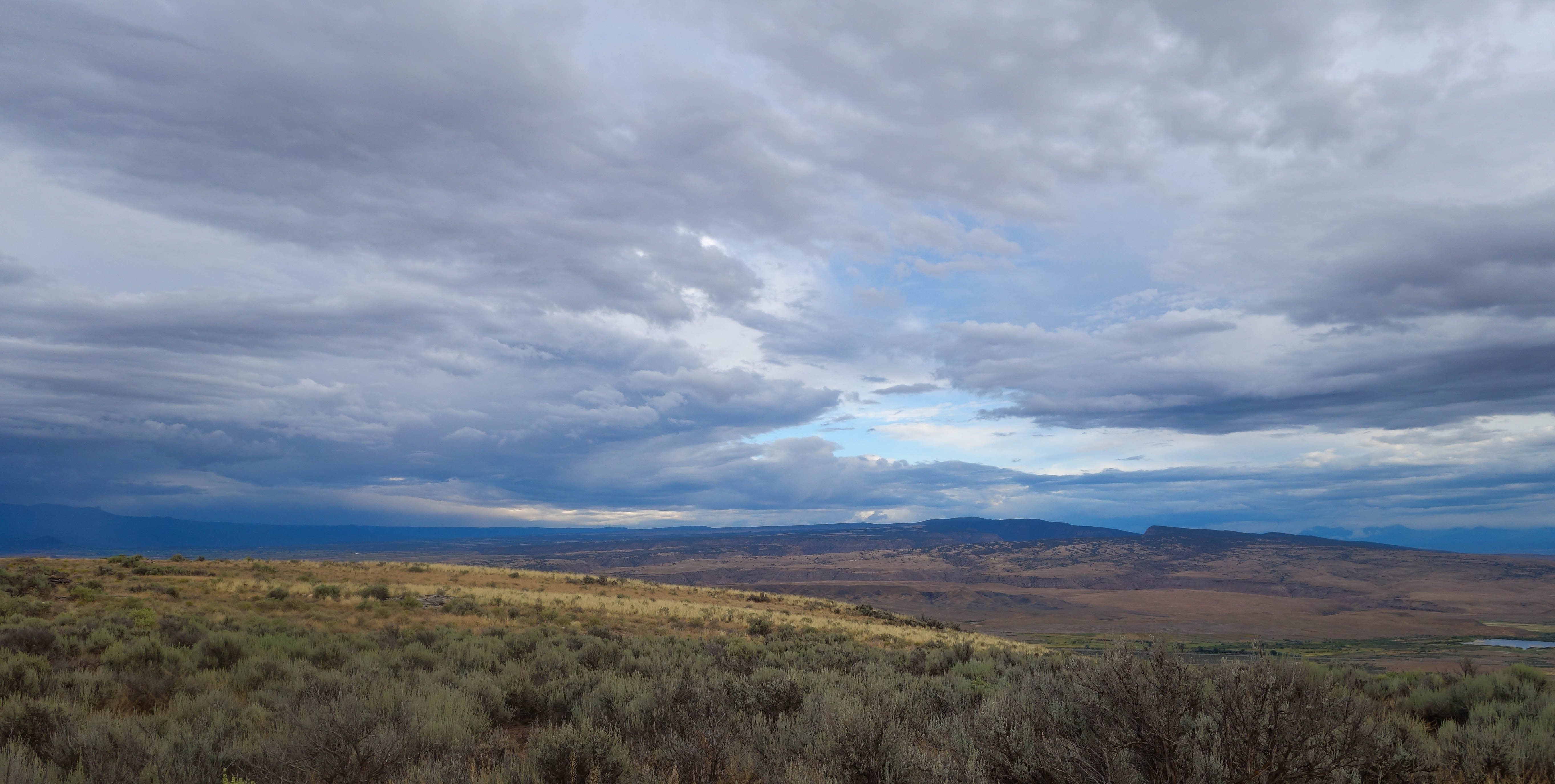
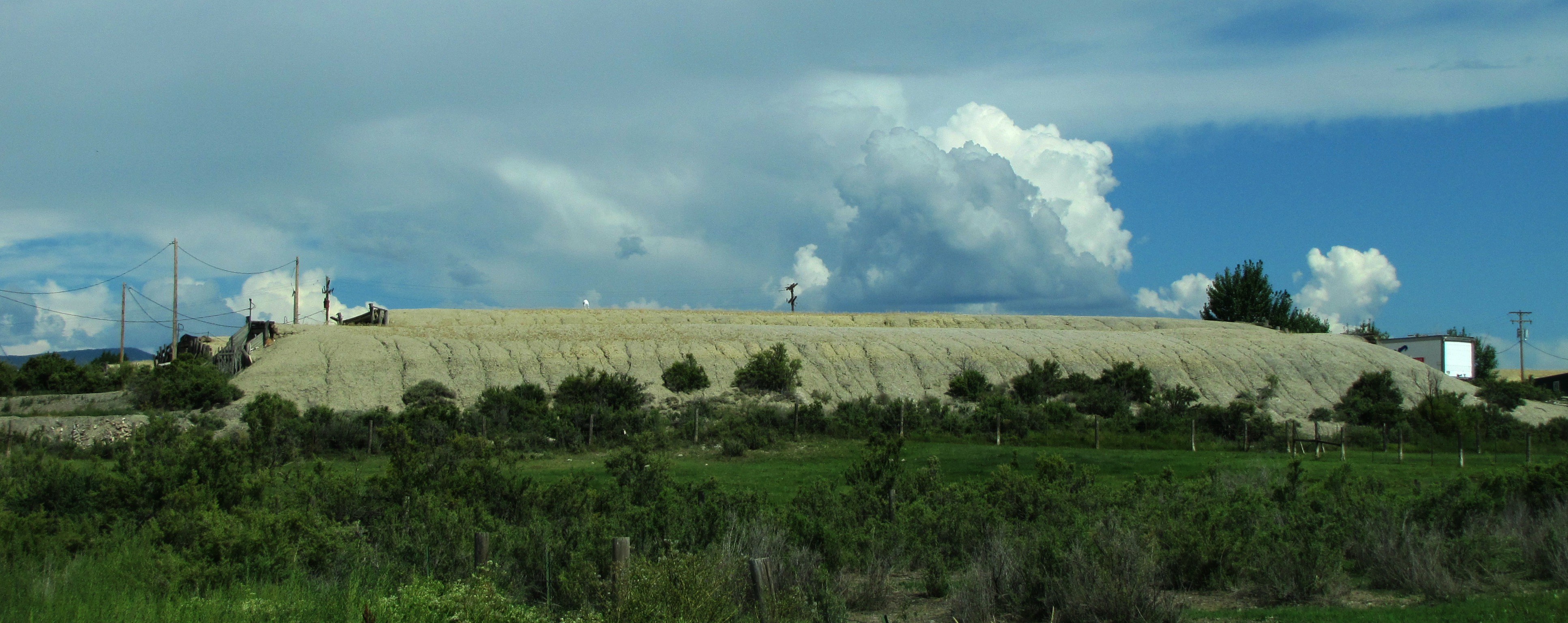
Mesas in the storm
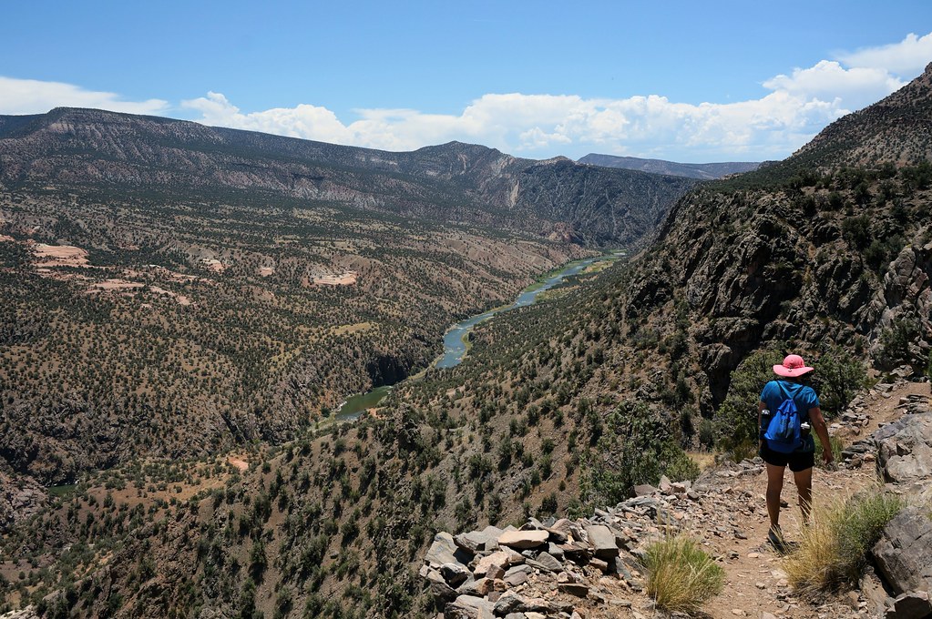
Gunnison Gorge 2

back up on the rim

6tag_290913-093329
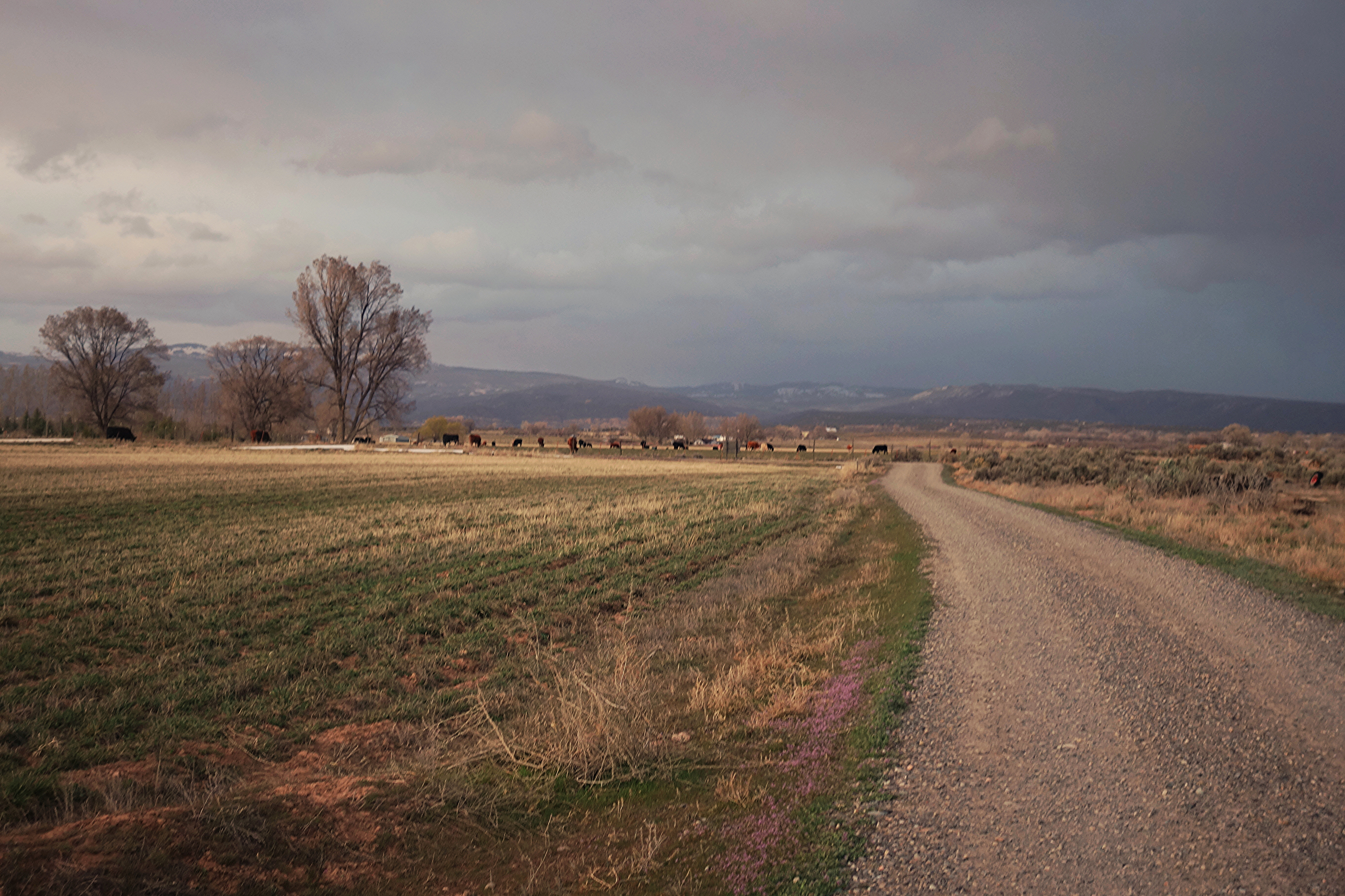
Colorado farmland
6tag_290913-093329
all this and hoodoos, too

WP_20130929_07_36_54_Pro.jpg
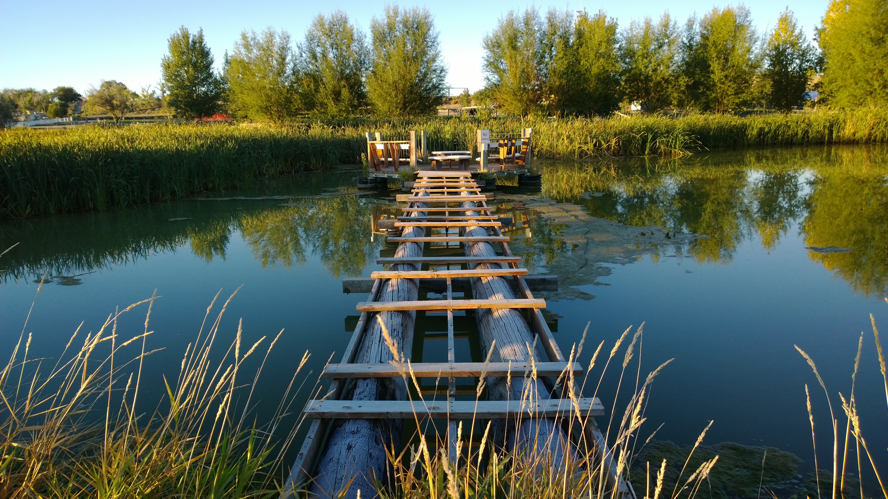
WP_20130929_07_36_54_Pro.jpg
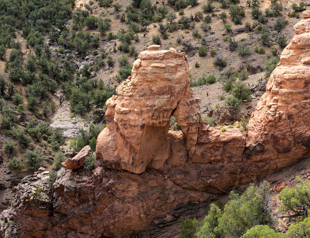
it'san arch
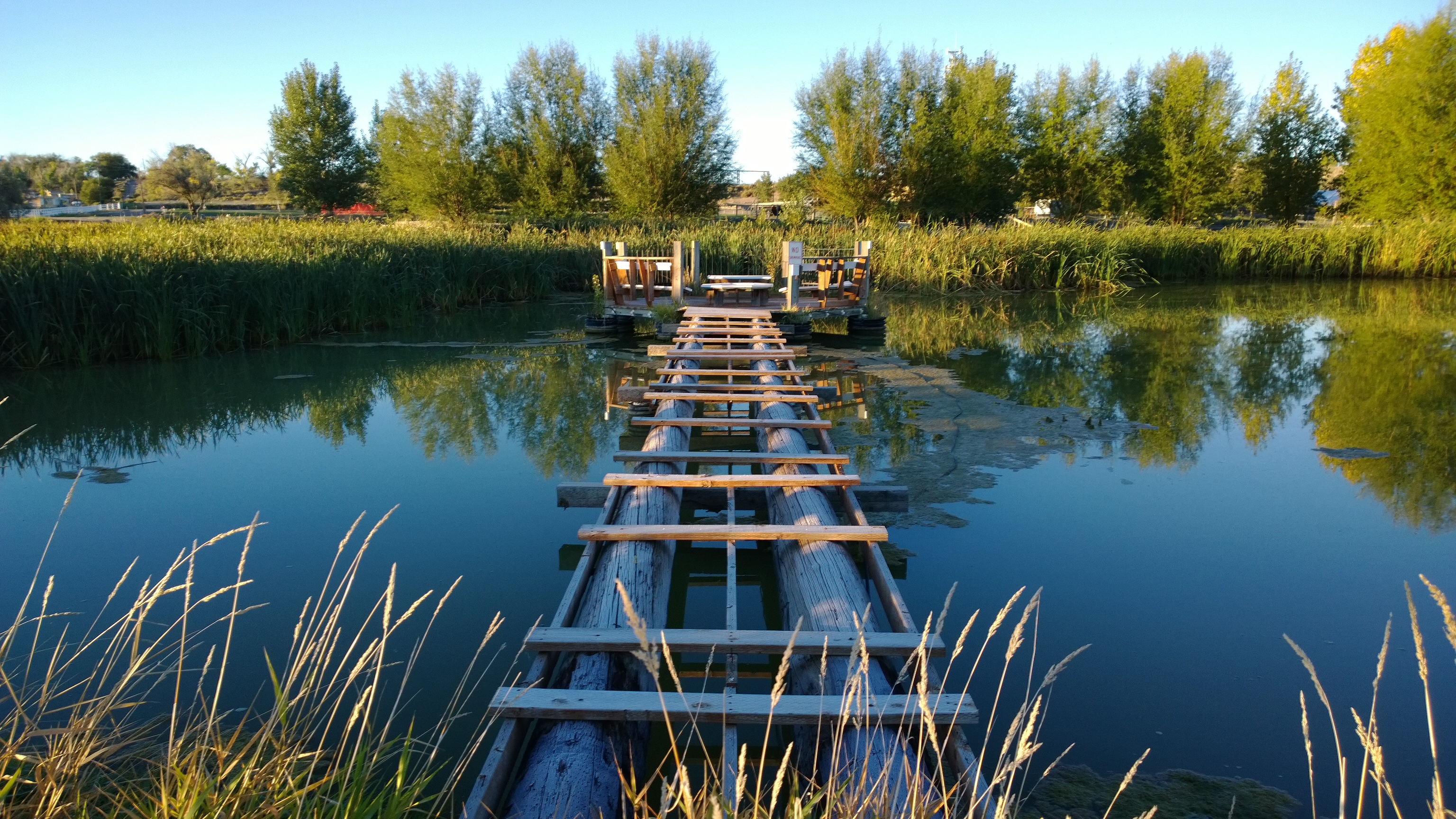
WP_20130929_07_36_12_Pro.jpg

WP_20130929_07_36_12_Pro.jpg

it'san arch in perspective
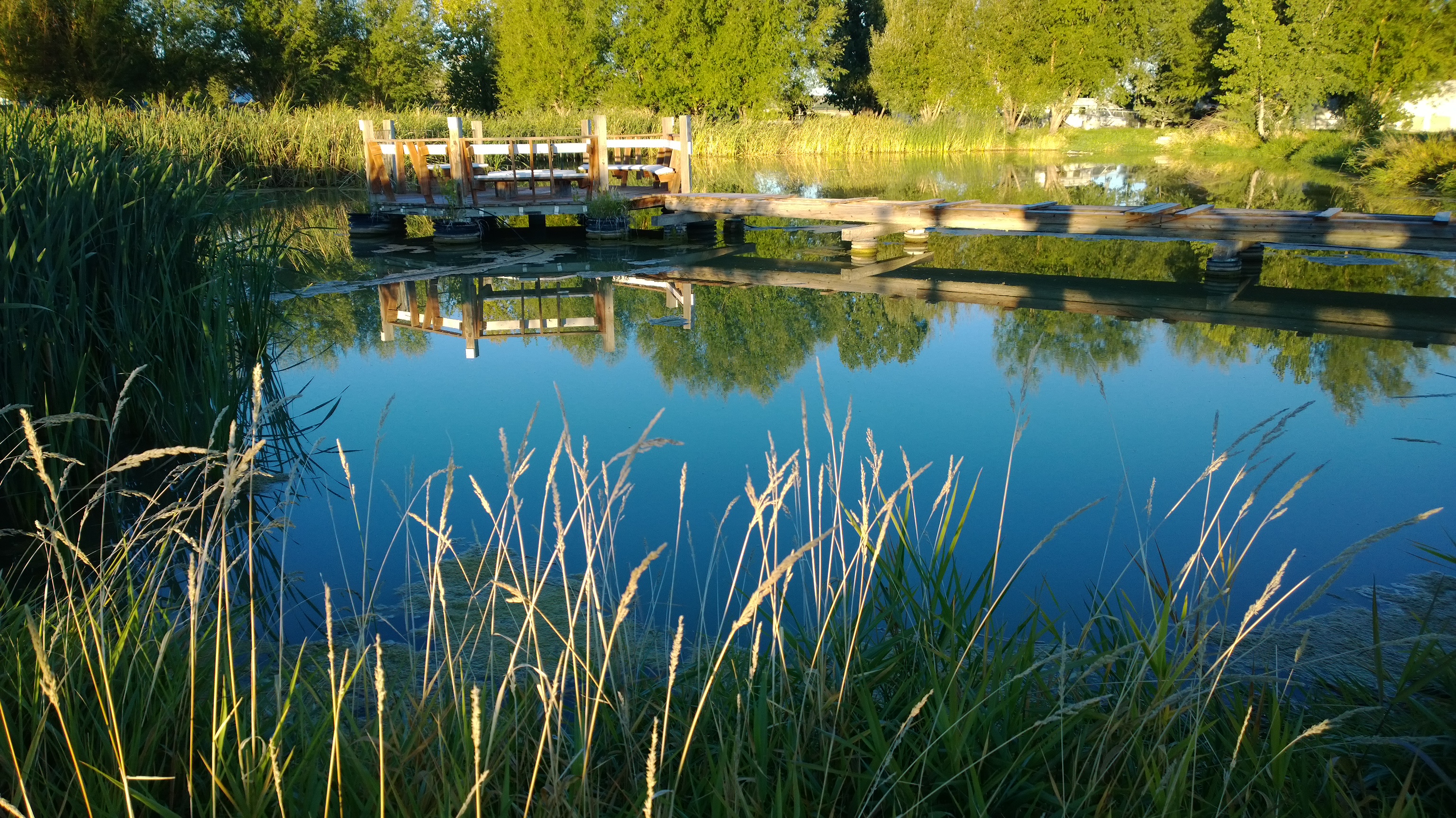
WP_20130929_07_34_30_Pro.jpg

WP_20130929_07_34_30_Pro.jpg
WP_20130929_07_33_29_Pro.jpg
WP_20130929_07_28_04_Pro.jpg
entering redrock country
Ute Trail, sunny July day
Topographic Map of Peach Valley Rd, Delta, CO, USA
Find elevation by address:

Places near Peach Valley Rd, Delta, CO, USA:
Peach Valley Road
Peach Valley Road
CO-92, Hotchkiss, CO, USA
26211 Redlands Mesa Rd
12736 Rimrock Rd
Scenic Meda, Crawford, CO, USA
30208 J Rd
Rd, Hotchkiss, CO, USA
8937 3100 Rd #8921
B50 Rd, Crawford, CO, USA
Rd, Hotchkiss, CO, USA
30758 L Rd
30762 L Rd
32551 Co-92
31490 Co-92
32310 B50 Rd
4770 Scenic Mesa Rd
31505 Co-92
30538 North Rd
33052 J Rd
Recent Searches:
- Elevation of Corso Fratelli Cairoli, 35, Macerata MC, Italy
- Elevation of Tallevast Rd, Sarasota, FL, USA
- Elevation of 4th St E, Sonoma, CA, USA
- Elevation of Black Hollow Rd, Pennsdale, PA, USA
- Elevation of Oakland Ave, Williamsport, PA, USA
- Elevation of Pedrógão Grande, Portugal
- Elevation of Klee Dr, Martinsburg, WV, USA
- Elevation of Via Roma, Pieranica CR, Italy
- Elevation of Tavkvetili Mountain, Georgia
- Elevation of Hartfords Bluff Cir, Mt Pleasant, SC, USA