Elevation of Peach Springs Archaeological District, Brimhall Nizhoni, NM, USA
Location: United States > New Mexico > Mckinley County >
Longitude: -108.62025
Latitude: 35.7746271
Elevation: 1866m / 6122feet
Barometric Pressure: 81KPa
Elevation Map:
Satellite Map:
Related Photos:
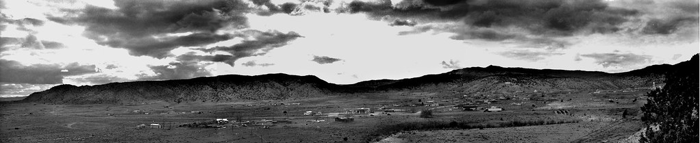
panoramic hill
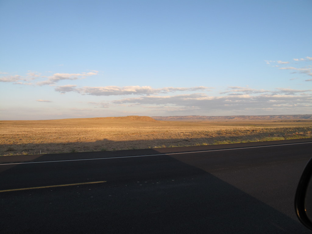
IMG_7157 Near Gallup NM
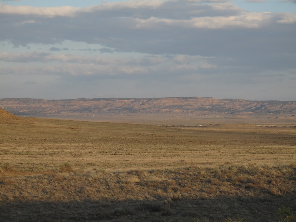
IMG_7160 Near Gallup NM
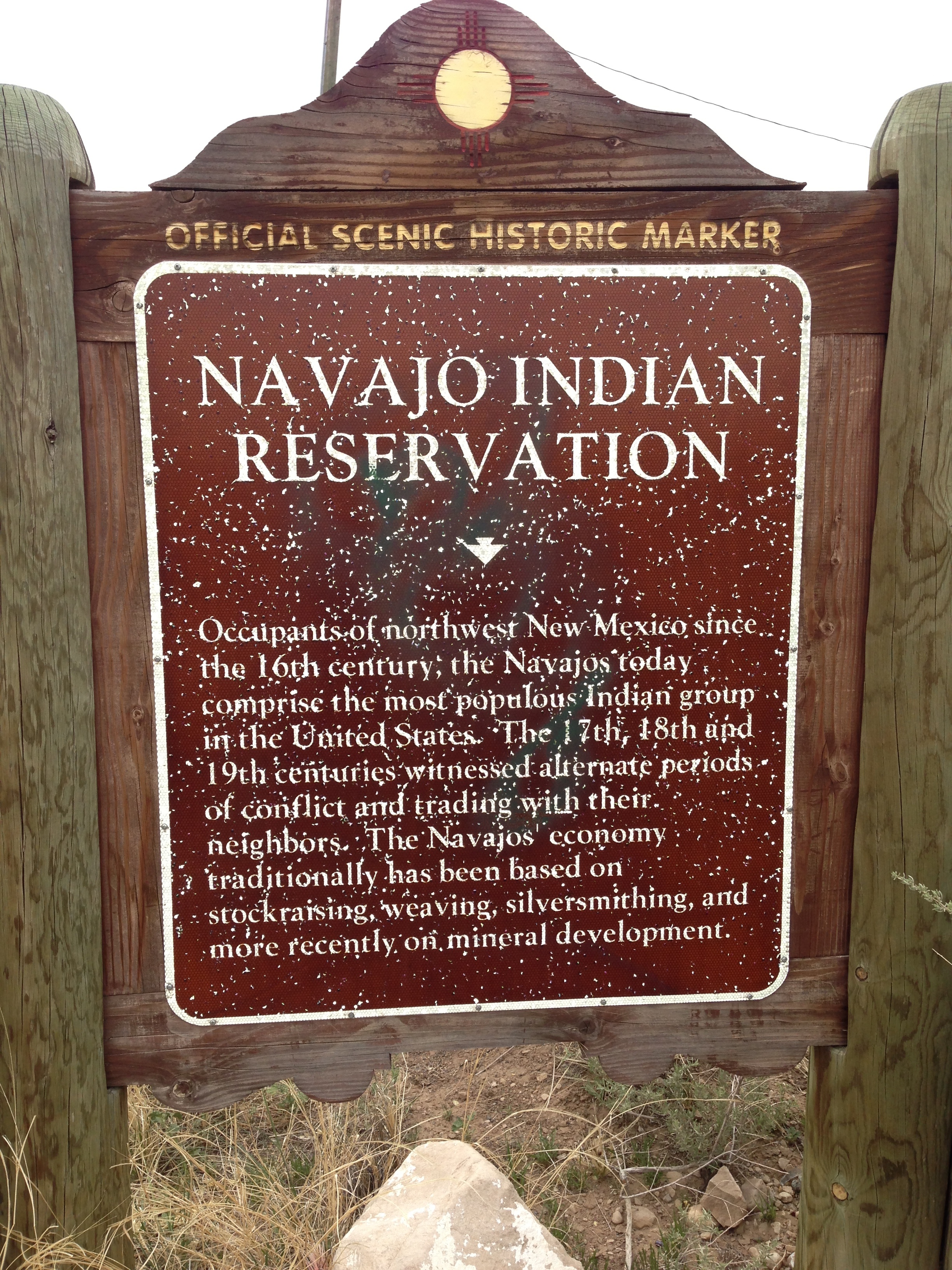
Navajo HM
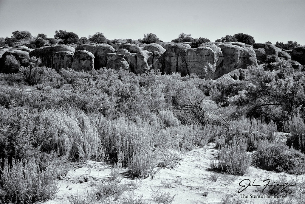
Coyote Canyon, Brimhall Nizhoni, NM
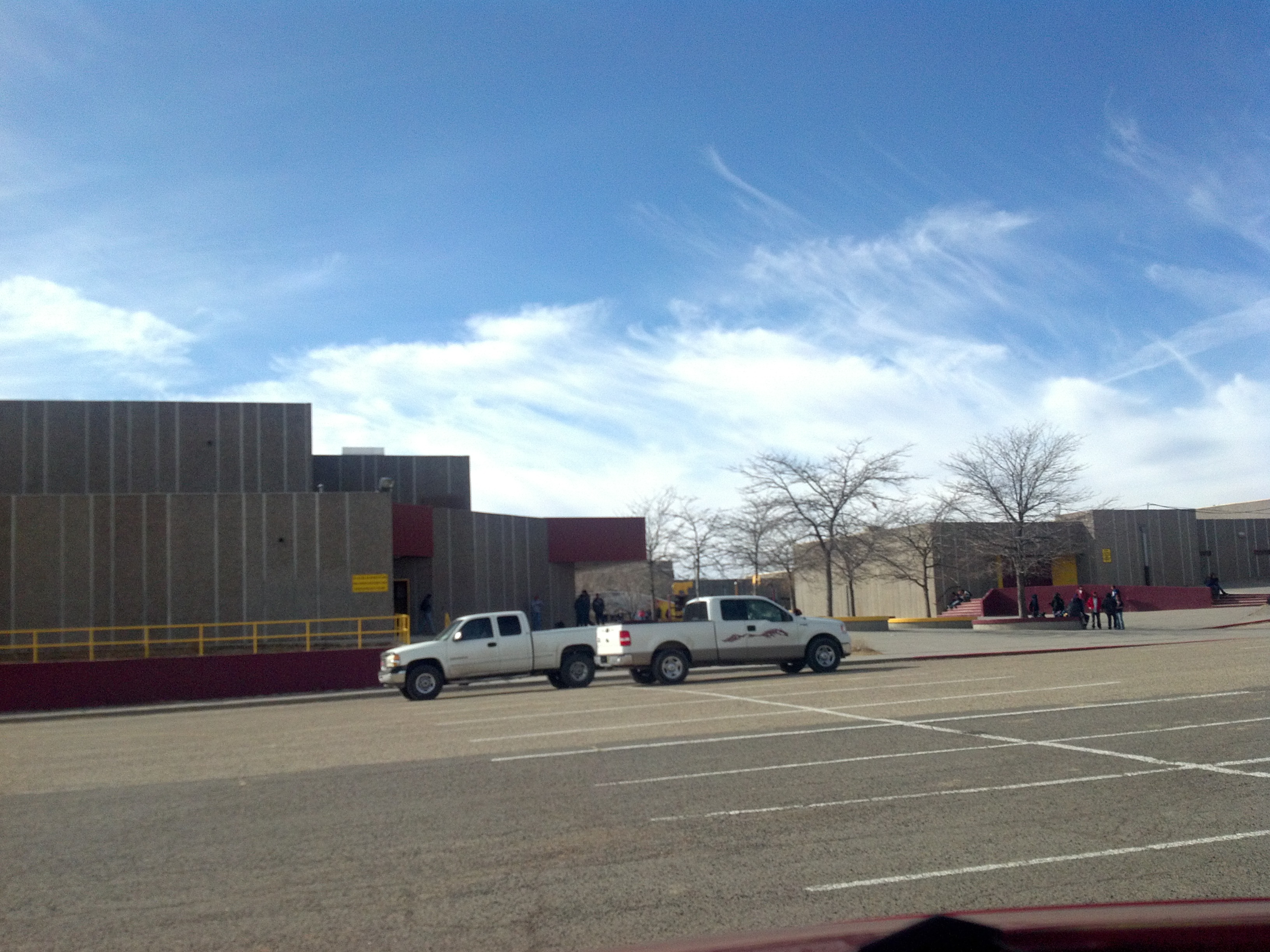
Tohatchi High School parking lot
May in Tohatchi (I)
May in Tohatchi (II)
May in Tohatchi (III)

Belt Buckle

At the Neighbors' II

At the Neighbors'

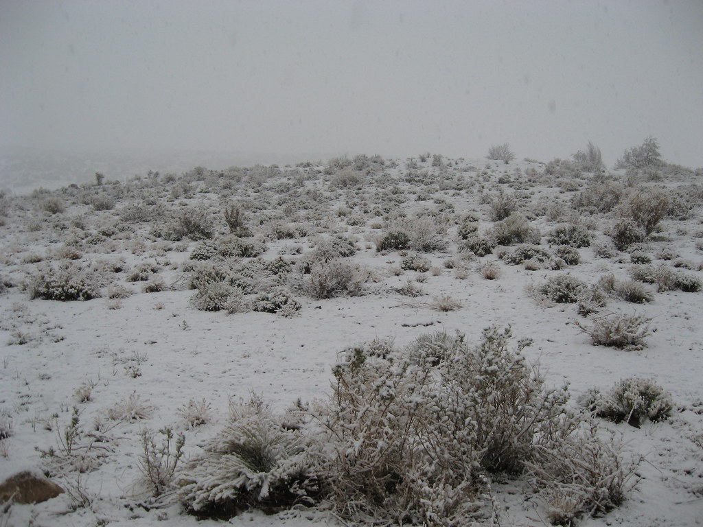
Desert in Winter 10
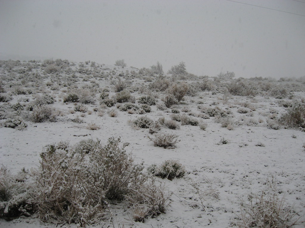
Desert in Winter 7
Desert in Winter 2
Desert in Winter 1
New Mexico Cowboy
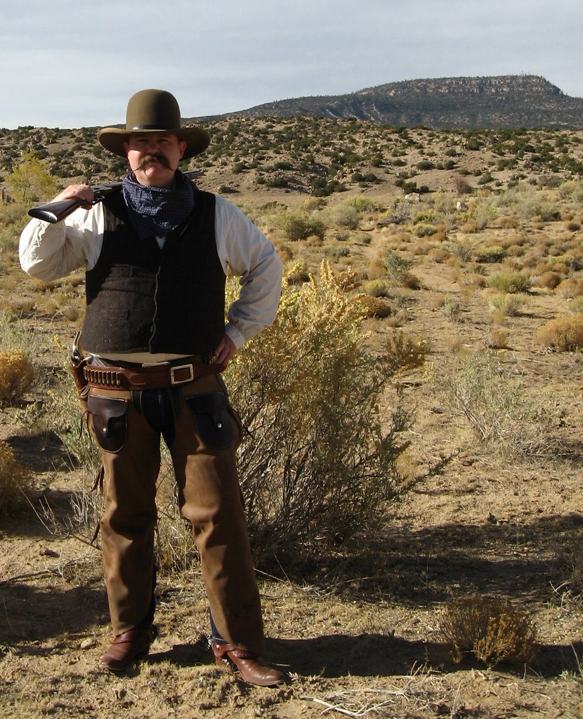
New Mexico Cowboy
New Mexico Cowboy

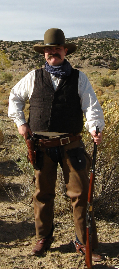
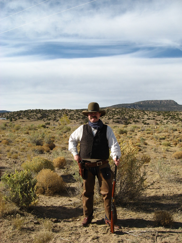
New Mexico Gunman V

New Mexico Gunman IV
Topographic Map of Peach Springs Archaeological District, Brimhall Nizhoni, NM, USA
Find elevation by address:

Places near Peach Springs Archaeological District, Brimhall Nizhoni, NM, USA:
1305 E Hwy 66
205 Burke Dr
S Country Club Dr & E Green Ave
S Grandview Dr & E Green Ave
NM-, Gallup, NM, USA
Gallup
South Grandview Drive
Country Club Drive
S Country Club Dr & Redrock Dr
S Country Club Dr & Redrock Dr
Gurley Motor Company
Linda Drive
Nizhoni Blvd & Redrock Dr
Nizhoni Blvd & Redrock Dr
Linda Van Asselt-king, Cnm
Redrock Clinic
224 Crestwood Ct
Naschitti
Allison Rd, Gallup, NM, USA
Fort Wingate
Recent Searches:
- Elevation of Corso Fratelli Cairoli, 35, Macerata MC, Italy
- Elevation of Tallevast Rd, Sarasota, FL, USA
- Elevation of 4th St E, Sonoma, CA, USA
- Elevation of Black Hollow Rd, Pennsdale, PA, USA
- Elevation of Oakland Ave, Williamsport, PA, USA
- Elevation of Pedrógão Grande, Portugal
- Elevation of Klee Dr, Martinsburg, WV, USA
- Elevation of Via Roma, Pieranica CR, Italy
- Elevation of Tavkvetili Mountain, Georgia
- Elevation of Hartfords Bluff Cir, Mt Pleasant, SC, USA