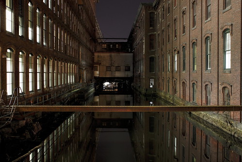
Elevation of Pawtucket Blvd, Lowell, MA, USA

Location: United States > Massachusetts > Middlesex County > Lowell > Pawtucketville >

Longitude: -71.370708

Latitude: 42.6407056

Elevation: 31m / 102feet

Barometric Pressure: 101KPa

Elevation Map:

elevation map of Pawtucket Blvd, Lowell, MA, USA

Satellite Map:

Satellite map of Pawtucket Blvd, Lowell, MA, USA

Related Photos:

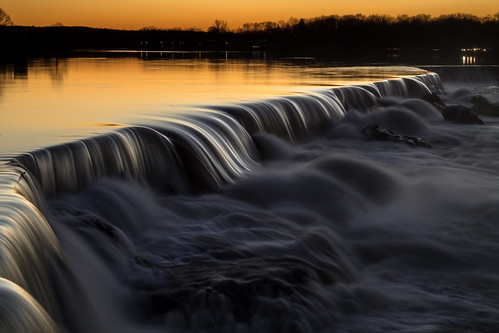
sunset waterfall falls mammoth lowell pawtucket niftyfifty
1/52 Pawtucket Falls
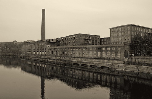
old mill industrial decay massachusetts derelict hdr lowell merrimackriver
Merrimack Reflection 2
star lego wars naboo moc starfighter mar31
naboo starfighter completed
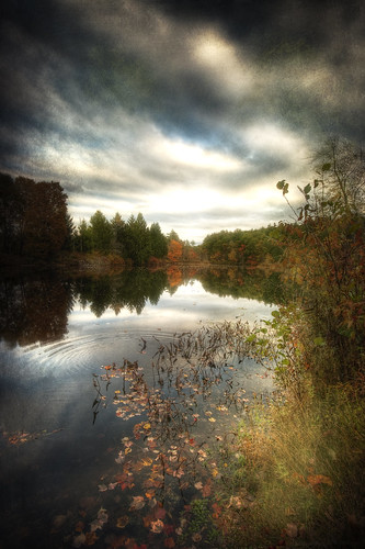
lake fall texture water leaves clouds rural photoshop canon reflections painting landscape pond october quiet cloudy dusk ripple massachusetts country digitalart newengland peaceful calm hdr dunstable sigma1020mm middlesexcounty 40d falllandscape patrickcampagnone
Dunstable Pond
canon massachusetts textile telephoto perkins mills lowell merrimackriver aikenbridge
Aiken Bridge
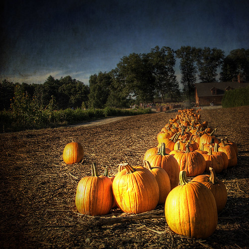
fall texture photoshop pumpkin landscape october farm pumpkins newengland september hdr
Ed Harley
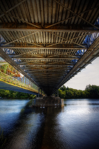
road bridge water photoshop canon river landscape construction steel massachusetts structure hdr tyngsboro 40d patrickcampagnone
Under Belly
sunset sky sun west clouds hospital river dawn afternoon looking general dusk massachusetts newengland valley cropped aviary mass merrimack edit lowell lgh lowellmass
Warm Colors Versus Cool Hues
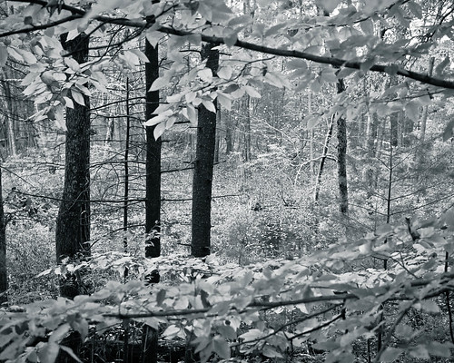
new autumn england blackandwhite tree fall leaves lines forest ma leaf massachusetts branches alien surreal foliage swamp frame dreamlike carlisle clearing otherworldly 2011 greatbrookfarmstatepark
Into the Woods
Sunset @ LGH ~ Nov. 10th, 2010
longexposure bridge building mill canon ma eos downtown massachusetts historic slowshutter cox 5d lighttrails day68 lowell markiii day68365 365the2015edition 3652015 9mar15
68/365
light sunset sunlight mist texture field fog rural photoshop canon painting landscape haze sheep farm massachusetts newengland stormy calm dunstable sigma1020mm 40d falllandscape patrickcampagnone
The Day Is Done
street city longexposure blue roof light sunset red chimney sky orange usa sun moon black rooftop up st yellow architecture night clouds speed sunrise river painting happy photography dawn lights town high cool warm long exposure view postmodern sundown market dusk top massachusetts smoke down stack solstice valley lucky citylights shutter balance innercity hazy middlesex merrimack appleton lowell equilibrium fstop the lowellma westford artistc perfectshot merrimackvalley
The Sun & the Moon
nashua newhampshire nh 03060 nashuamanufacturingcompany clocktower nashuariver river night light reflection brick factory mill historic luxory condo building textile starrgazrsown nhtownlandmarks mainstreet blogged nh:starrgazr=photo5 published tracyleecarroll
Nashua Clocktower
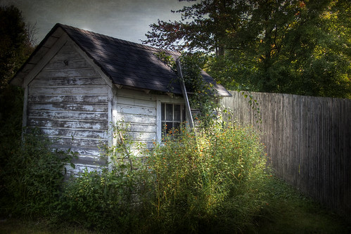
plants fall photoshop canon garden landscape bush backyard peeling massachusetts shed newengland peelingpaint hdr 40d patrickcampagnone
Sunday In Fall
new trees england blackandwhite reflection water sign ma bedford flooding massachusetts newengland goose 2010 nationalwildliferefuge concordriver conservationland march2010flood
Flooded Refuge
new summer england brown reflection leaves ma leaf rust unitedstates bokeh massachusetts rail 2012 billerica middlesexcanal faulknermills northbillerica
On the Precipice
morning winter snow cold newengland newhampshire nh 365 residential pelham project365
50/365
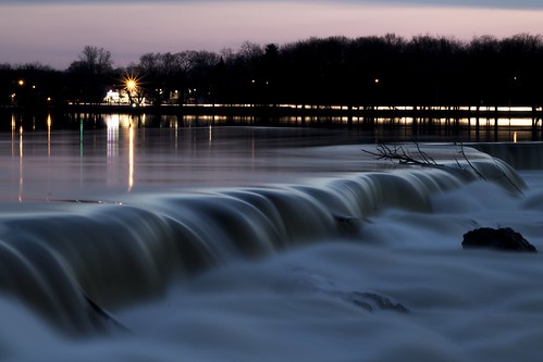
rebel waterfall dam t3 lowell merrimackriver longexpoosure mammothstreet
Lowell Waterfall
new trees england reflection fall water landscape ma pond massachusetts foliage carlisle wetland 2010 cranberrybog conservationland
Colorful World of Wonder
snow tractor katy lego plow moc virginialeeburton katyandthebigsnow
it's not for zombies
Lowell-Dracut-Tyngsborough Forest
park sunset cloud clouds barn ma state farm massachusetts great farming barns sunsets silo farms silos brook elliot carlisle carlislema carlislemassachusetts gilfix greatbrookfarmstatepark elliotphotos elliotgilfix greatbrookfarmstateparkcarlisle
Great Brook Farm State Park
city winter sunset sun snow cold river landscape ma massachusetts freezing falls day1 freeze slowshutter merrimack lowell slowshutterspeed pawtucket pawtucketfalls day1365 3652013 01jan13 365the2013edition
A Happy New Year Sunset
beach water pond sand kat bathingsuit ddt chelmsford heartpond
Sisters at Heart Pond - South Chelmsford
A0nMRlyrSTy%uJjbb7BxDw
forest ma dailyphoto lowell iphone lowellma tyngsboro dracut stateforest lowellmassachusetts project365 lowelldracuttyngsborostateforest johnslens hipstamatic inas1935film
Day 309 - Saturday, November 6th 2010 - Sunrise In The State Forest
Groton_MA-3
square ma squareformat 117 lowell merrimackriver iphone project365 project366 iphoneography instagramapp xproii uploaded:by=instagram foursquare:venue=4c8c0a885e048cfa4f46c9cd
Day 17 - Tuesday, January 17th 2012
nature butterfly butterflies westfordma thebutterflyplace nikond5000
Butterfly Place_139_September 26, 2010.jpg
portrait blur field grass dof depthoffield adt westford zd olympus50200mm
In The Flat Field
new england mill town hdr lowell tonemapped
The Merrimack River 01
old water landscape canal industrial massachusetts bricks historic textile lowell hydropower
Lowell Canyon 2
flowers 35mm ma prime bokeh massachusetts newengland olympus applepicking manual om flowersplants tyngsboro gzuiko parleefarm gzuikoautow35mmf28
G-Zuiko
mavic2pro nashua sethjdeweyphotography aerial cloudy downtown drone evening spring twilight
Gate City Night
gibbethill barn groton sky snow trees dawn winter 6d 1740mm
Gibbet Hill
freemanlake northchelmsford chelmsford foliage leaves color canoe 6d 70200mm
Canoe by the Lake
--