Elevation of 1 Rhum Cir, North Chelmsford, MA, USA
Location: United States > Massachusetts > Middlesex County > Chelmsford > North Chelmsford >
Longitude: -71.399763
Latitude: 42.6368654
Elevation: 53m / 174feet
Barometric Pressure: 101KPa
Elevation Map:
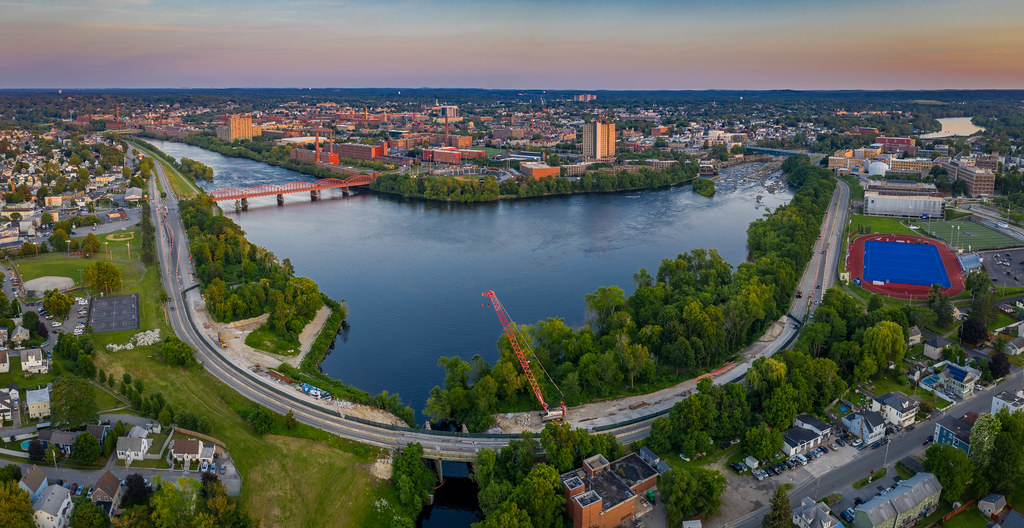
Satellite Map:
Related Photos:

Pepperell at Dusk

NA-1 Northbound on the Northern

NA-1 in Nashua

Merrimack Reflection 2

Lowell dusk.

20130711_22k Gravestone | Lowell, Massachusetts

it's not for zombies
VFW Hwy

End of the Line

Apache Top View

Colorful World of Wonder

top view

Marble Madness #4: World Turned Upside Down

Aiken Bridge

Lowell, MA HDR

Nashua Clocktower

No Lifeguard on Duty

1/52 Pawtucket Falls

Snowday in Lowell

Standard Equipment

Red Pine
Topographic Map of 1 Rhum Cir, North Chelmsford, MA, USA
Find elevation by address:

Places near 1 Rhum Cir, North Chelmsford, MA, USA:
90 Dunstable Rd
Oakhill Road
Oakhill Road
518 Wellman Ave
418 Wellman Ave
9 Mansur St
Washington Street
North Chelmsford
112 Meadowbrook Rd
501 Wellman Ave
501 Wellman Ave
501 Wellman Ave
501 Wellman Ave
12 Radcliffe Rd
32 School St, North Chelmsford, MA, USA
6 Penni Ln
17 Oak Hill Rd
12 Gassett Rd
23 Berkeley Dr
13 Horseshoe Rd
Recent Searches:
- Elevation of Corso Fratelli Cairoli, 35, Macerata MC, Italy
- Elevation of Tallevast Rd, Sarasota, FL, USA
- Elevation of 4th St E, Sonoma, CA, USA
- Elevation of Black Hollow Rd, Pennsdale, PA, USA
- Elevation of Oakland Ave, Williamsport, PA, USA
- Elevation of Pedrógão Grande, Portugal
- Elevation of Klee Dr, Martinsburg, WV, USA
- Elevation of Via Roma, Pieranica CR, Italy
- Elevation of Tavkvetili Mountain, Georgia
- Elevation of Hartfords Bluff Cir, Mt Pleasant, SC, USA