Elevation of Pastor-von-Hammel-Straße 2, Cloppenburg, Germany
Location: Germany > Lower Saxony > Cloppenburg > Bethen >
Longitude: 8.06163
Latitude: 52.86441
Elevation: 46m / 151feet
Barometric Pressure: 101KPa
Elevation Map:
Satellite Map:
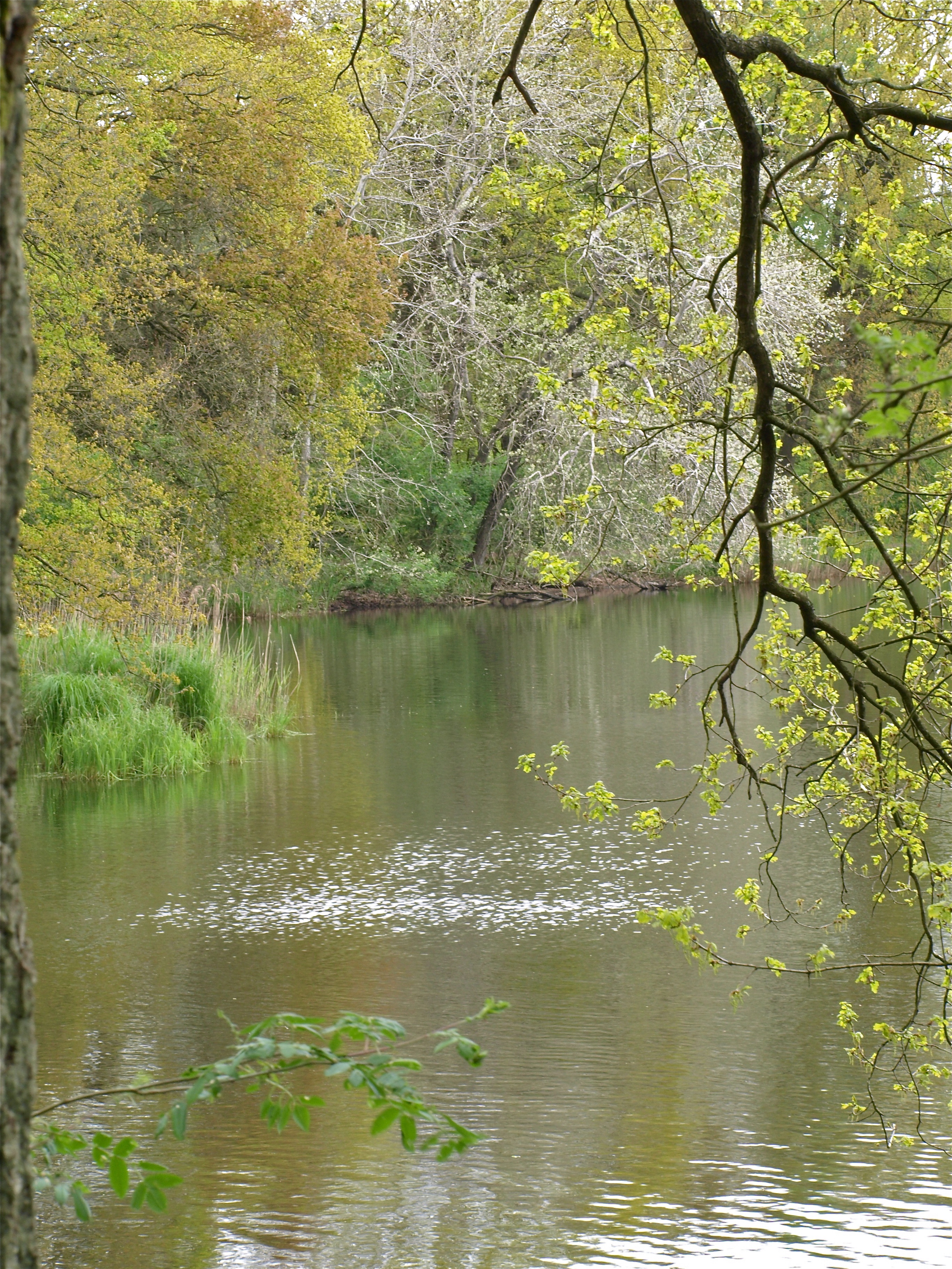
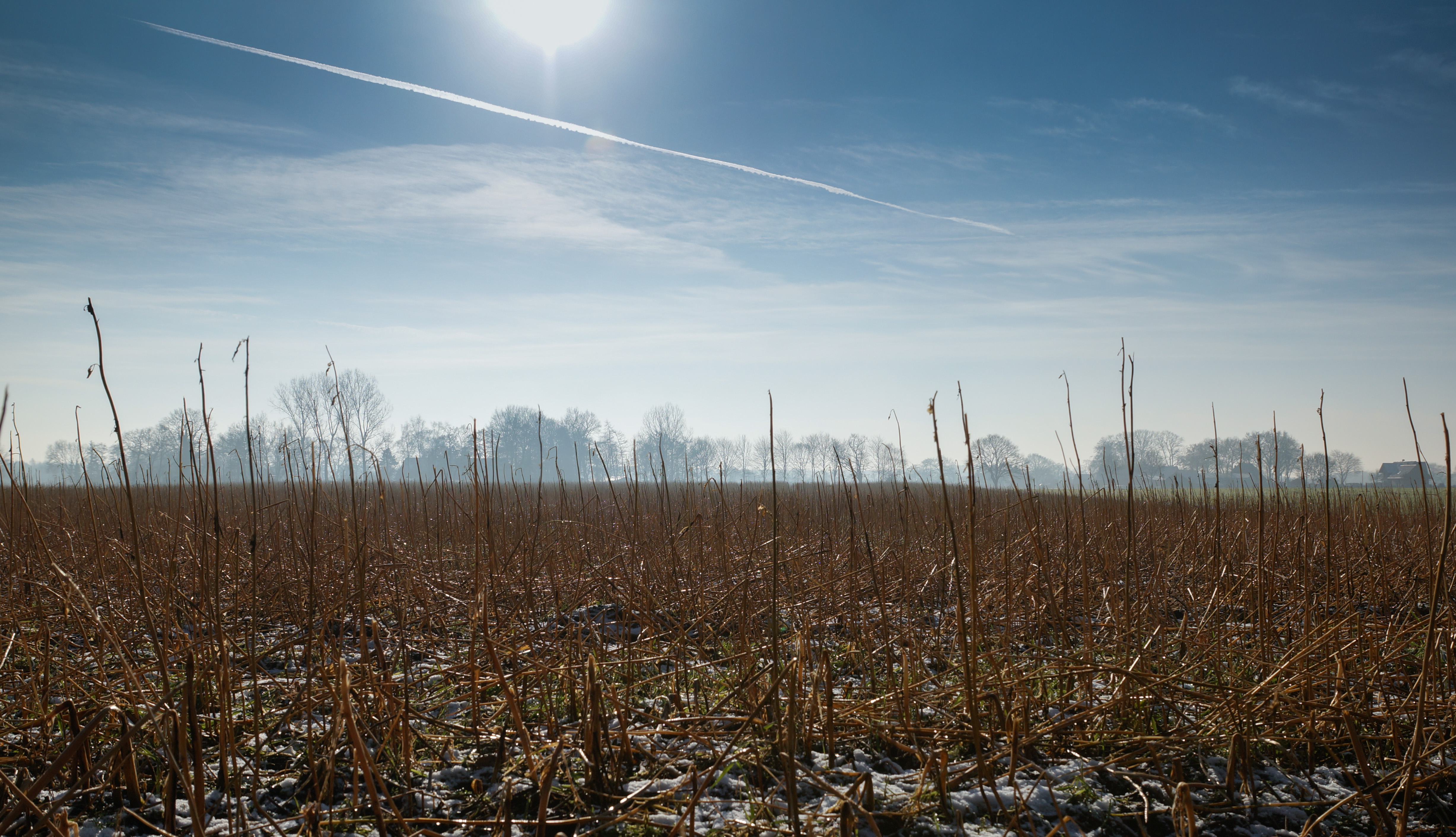
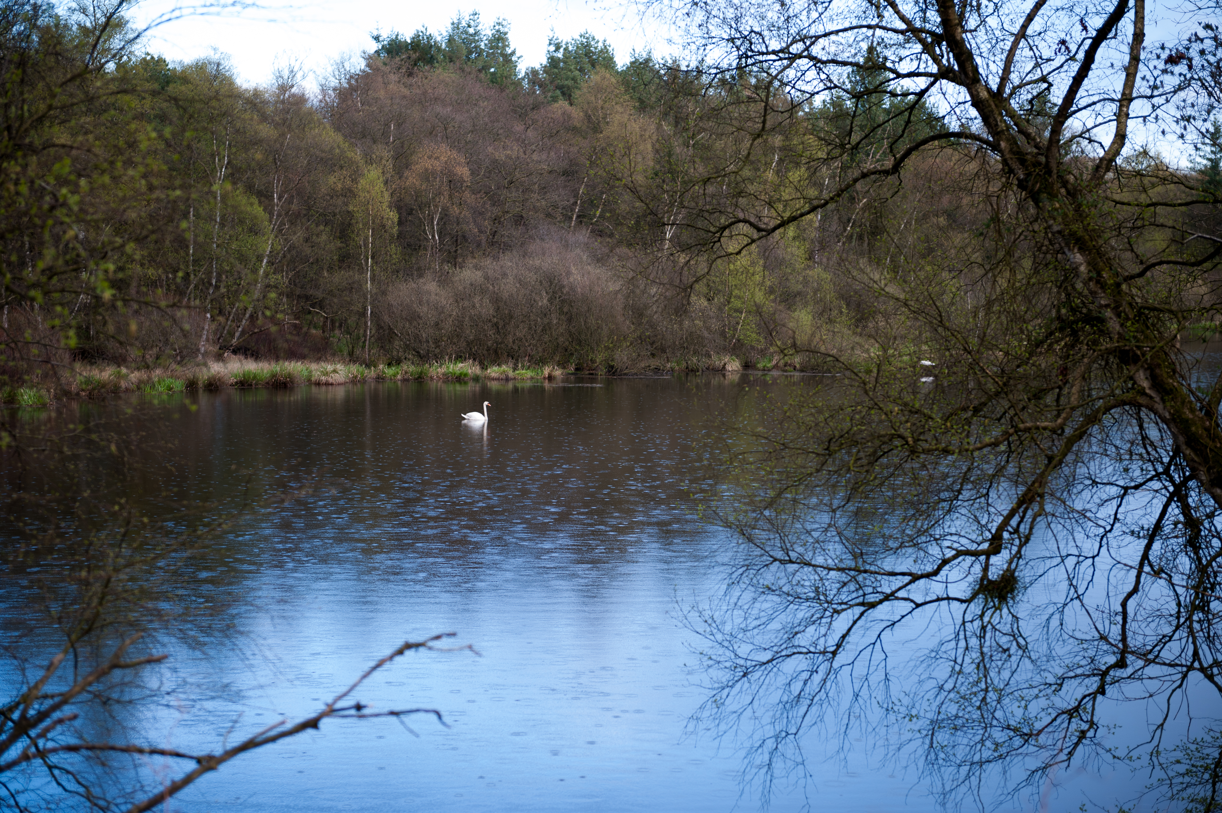
Related Photos:

Snacktime (3)
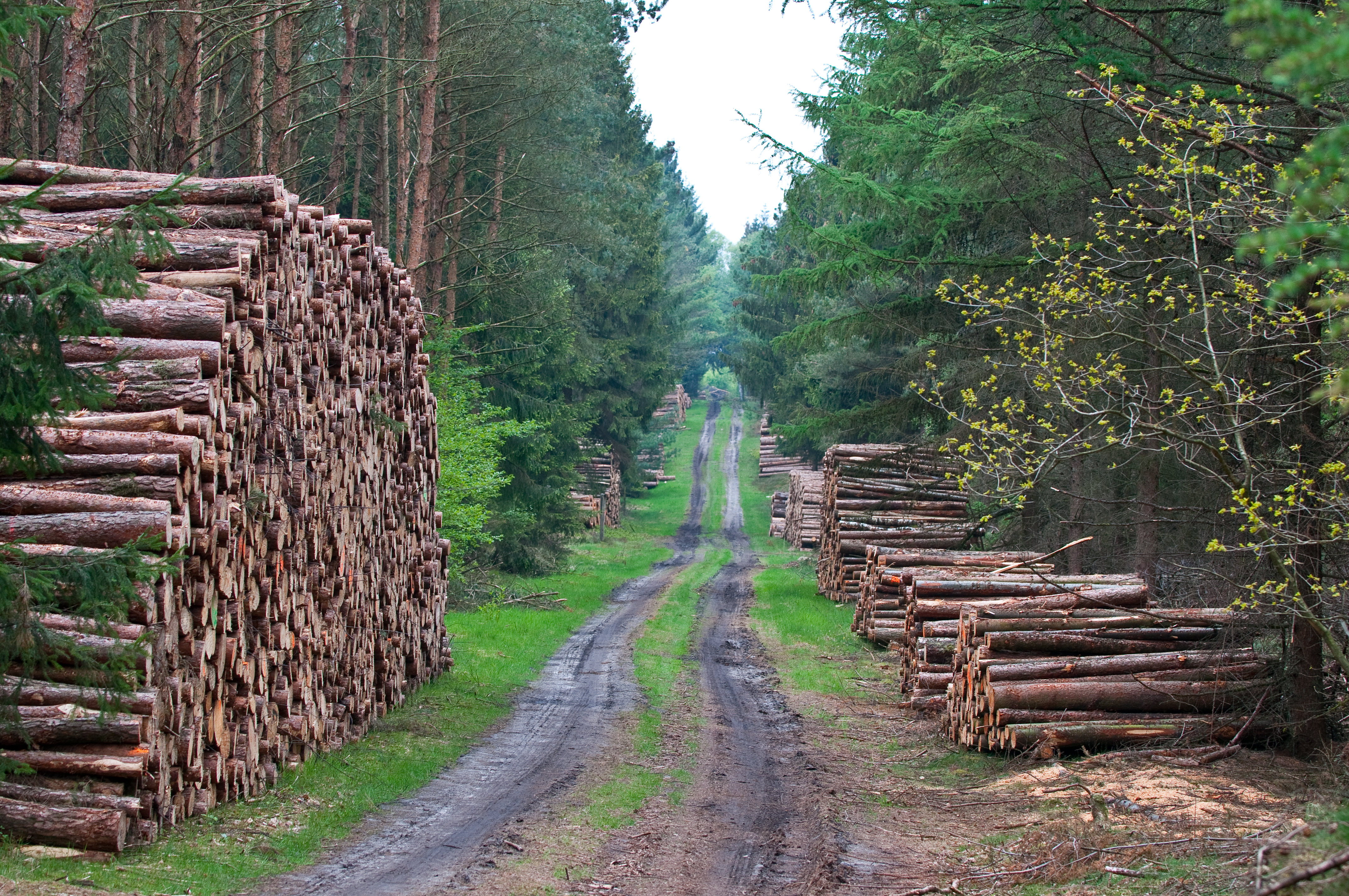
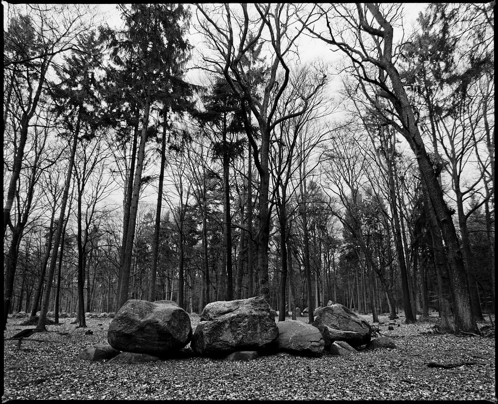
The path of the chopped trees
Back Home

Hello World!

Nature painted an yellow world! An field of joy!

205 RM
View. Cloppenburg.
View. Cloppenburg.

UH-1D HTG64

St. Laurentius
Front Row
Short Tales Of The Black Forest

Sunset on the Autobahn
Brautwagen II
Osterfeuer 2016

Osterfeuer 2016

more mushrooms
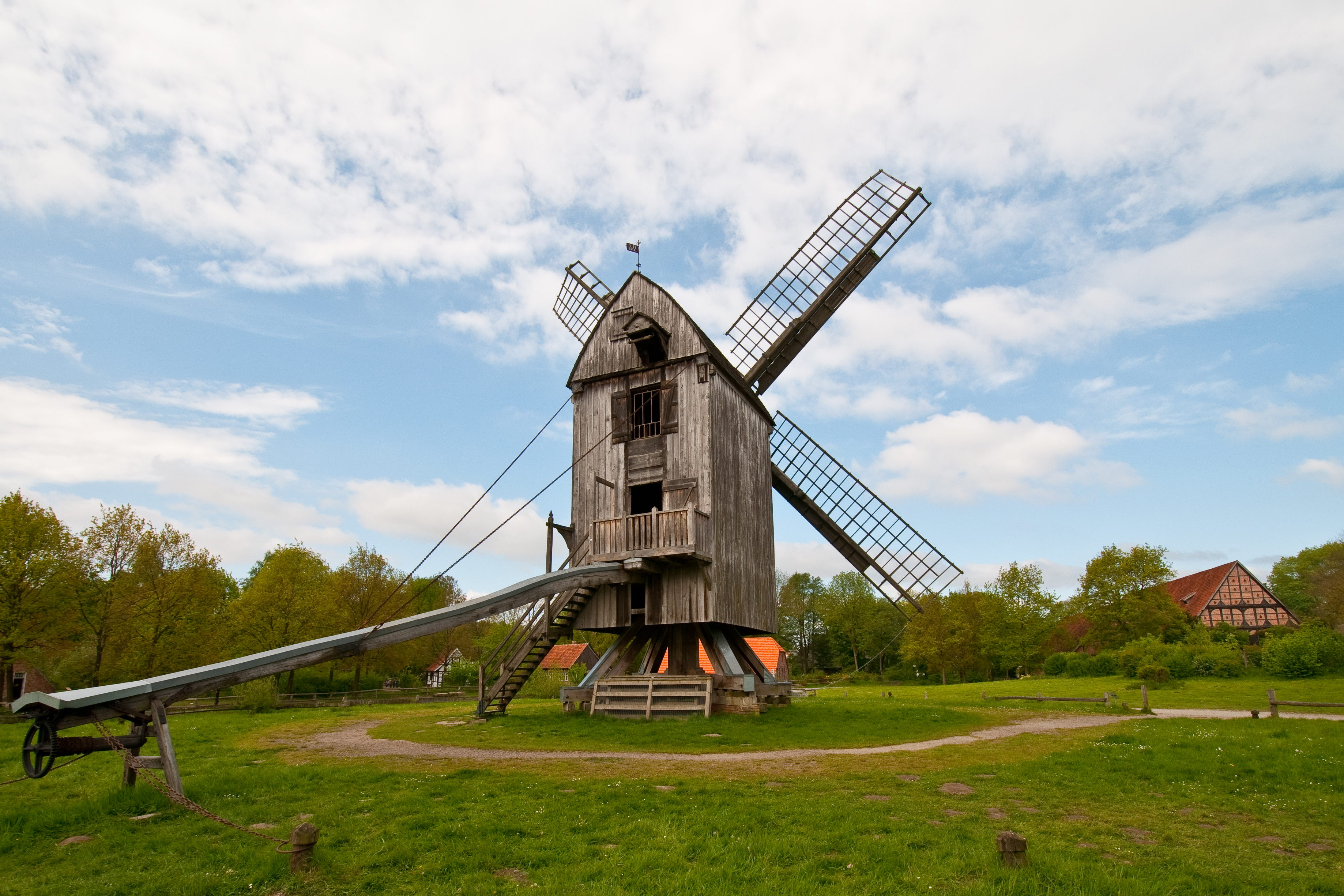
Brautwagen I
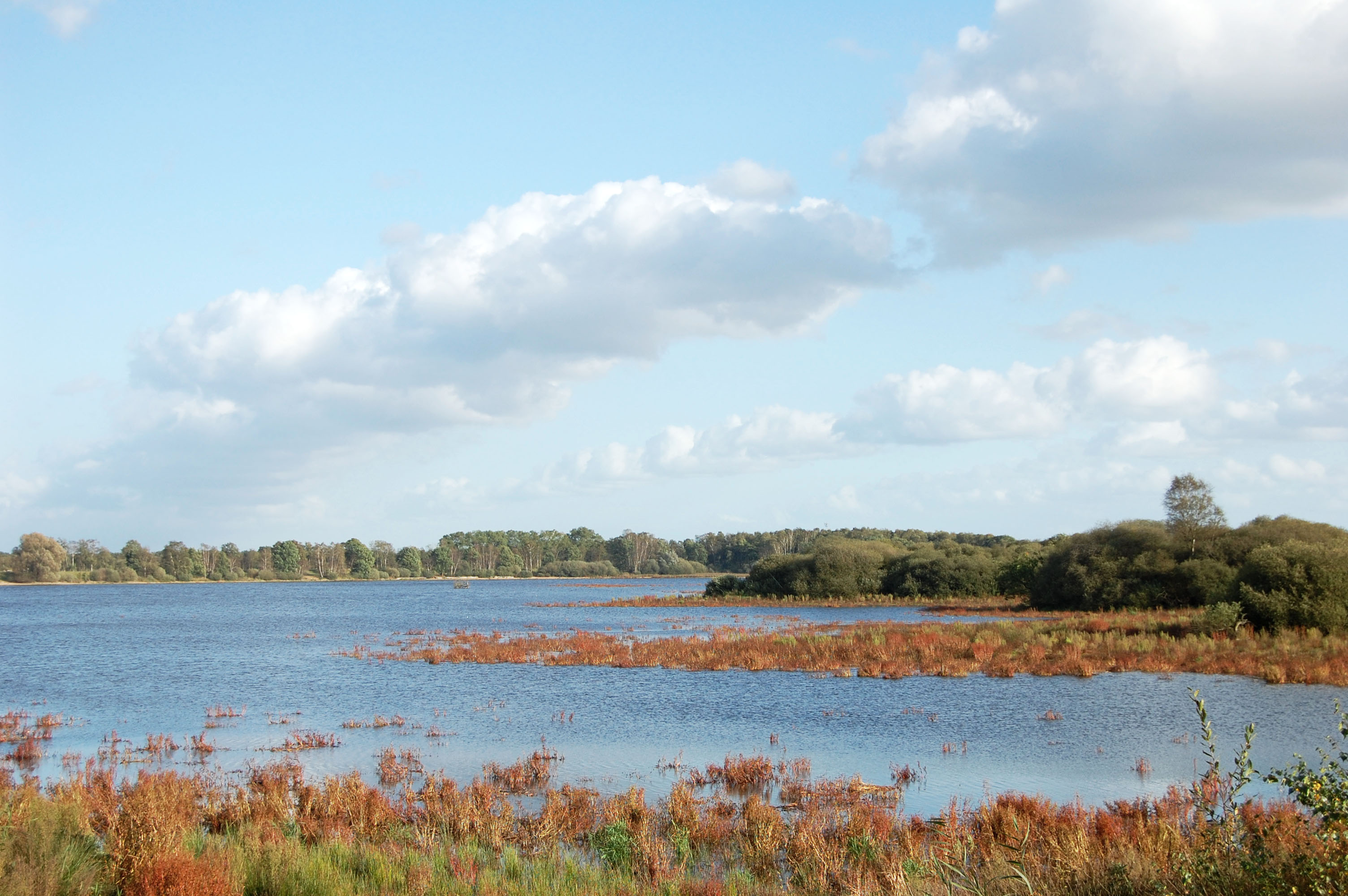
thülsfelder talsperre oktober 2009
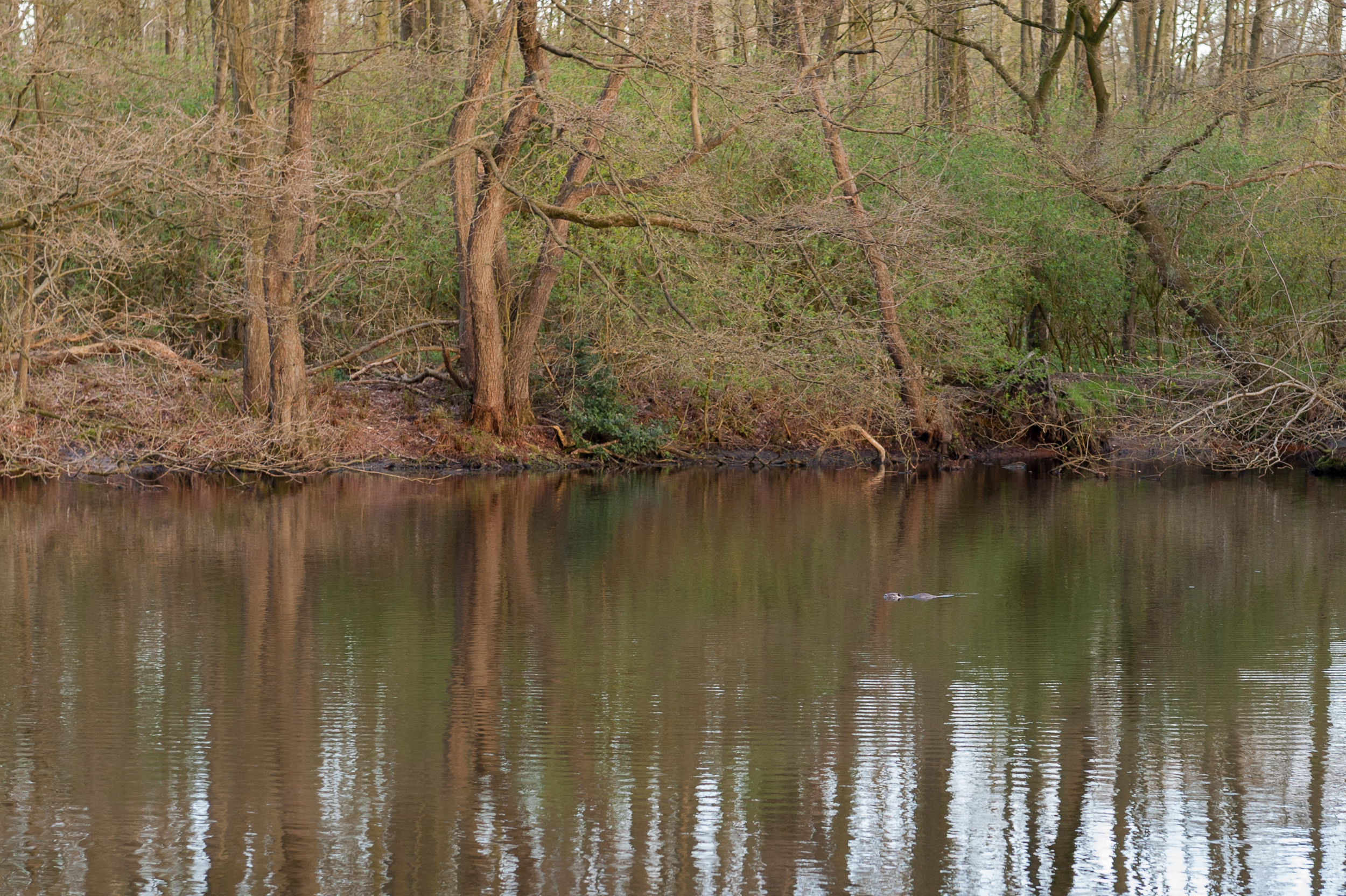
Beaver?
DSC03764.jpg

DSC01626.jpg

DSC_1044.jpg

Wer bin ich?

Wood N° 6533

DSC01538.jpg
Enten?

DSC01768.jpg
DSC03777.jpg
_DSC2401.jpg
Topographic Map of Pastor-von-Hammel-Straße 2, Cloppenburg, Germany
Find elevation by address:

Places near Pastor-von-Hammel-Straße 2, Cloppenburg, Germany:
Bethen
Beesthöhe 32, Cloppenburg, Germany
Cloppenburg
Kiwittstraße 1, Garrel, Germany
Bürgermoor
Am Wegholt 7, Emstek, Germany
Resthausen
Westeremstek
Garrel
Emstek
Cloppenburg
Neumühlen 1, Molbergen, Germany
Desumer Str. 6, Emstek, Germany
Nikolausstraße 22, Garrel, Germany
Nikolausdorf
Molbergen
Waldmeisterweg 11, Molbergen, Germany
3a
Thülsfelde
Aumühlen 3, Bösel, Germany
Recent Searches:
- Elevation of Corso Fratelli Cairoli, 35, Macerata MC, Italy
- Elevation of Tallevast Rd, Sarasota, FL, USA
- Elevation of 4th St E, Sonoma, CA, USA
- Elevation of Black Hollow Rd, Pennsdale, PA, USA
- Elevation of Oakland Ave, Williamsport, PA, USA
- Elevation of Pedrógão Grande, Portugal
- Elevation of Klee Dr, Martinsburg, WV, USA
- Elevation of Via Roma, Pieranica CR, Italy
- Elevation of Tavkvetili Mountain, Georgia
- Elevation of Hartfords Bluff Cir, Mt Pleasant, SC, USA