Elevation of Parque Nacional de Yacuri, Amaluza-San Andrés, Ecuador
Location: Ecuador > Zamora-chinchipe Province > Palanda >
Longitude: -79.312754
Latitude: -4.6257708
Elevation: 3260m / 10696feet
Barometric Pressure: 68KPa
Elevation Map:
Satellite Map:
Related Photos:
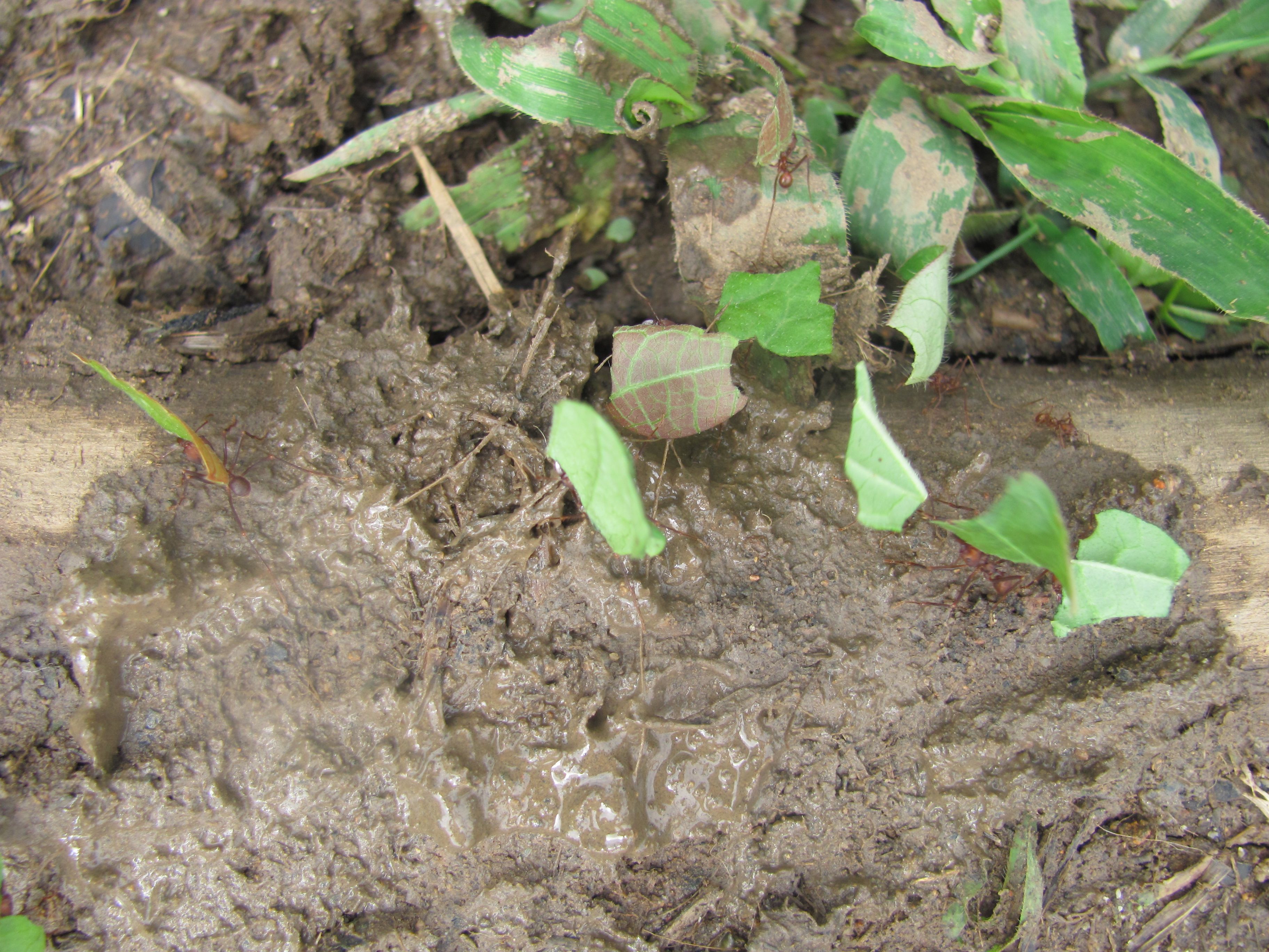
Soldier Ants of the Tropical Rainforest
Topographic Map of Parque Nacional de Yacuri, Amaluza-San Andrés, Ecuador
Find elevation by address:

Places near Parque Nacional de Yacuri, Amaluza-San Andrés, Ecuador:
Rio Jorupe
Valladolid
Palanda
Yangana
Hostal Izhcayluma
Vilcabamba (victoria)
Cerro Mandango
Via A Yamburara Alto
Vilcabamba
Eje Vial IV, Peru
Gonzanamá
Santuario Del Señor Del Buen Suceso Y Nuestra Señora Del Carmen
Utuana
Sozoranga Canton
Sozoranga
Macara
Charanal
Recent Searches:
- Elevation of Corso Fratelli Cairoli, 35, Macerata MC, Italy
- Elevation of Tallevast Rd, Sarasota, FL, USA
- Elevation of 4th St E, Sonoma, CA, USA
- Elevation of Black Hollow Rd, Pennsdale, PA, USA
- Elevation of Oakland Ave, Williamsport, PA, USA
- Elevation of Pedrógão Grande, Portugal
- Elevation of Klee Dr, Martinsburg, WV, USA
- Elevation of Via Roma, Pieranica CR, Italy
- Elevation of Tavkvetili Mountain, Georgia
- Elevation of Hartfords Bluff Cir, Mt Pleasant, SC, USA