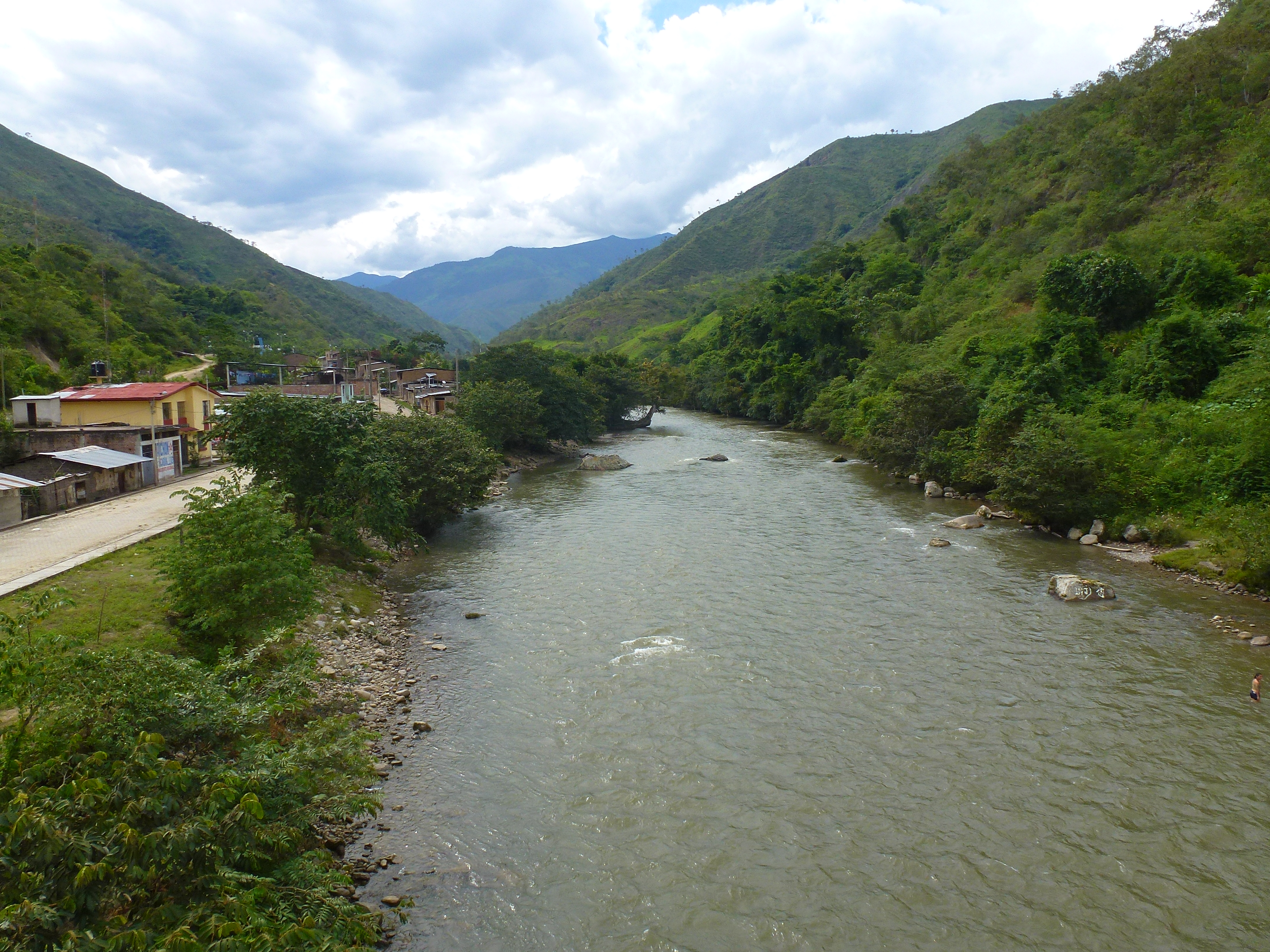
Elevation of Eje Vial IV, Peru
Location: Peru >
Longitude: -79.113232
Latitude: -4.9773105
Elevation: 697m / 2287feet
Barometric Pressure: 93KPa
Elevation Map:
Satellite Map:
Related Photos:
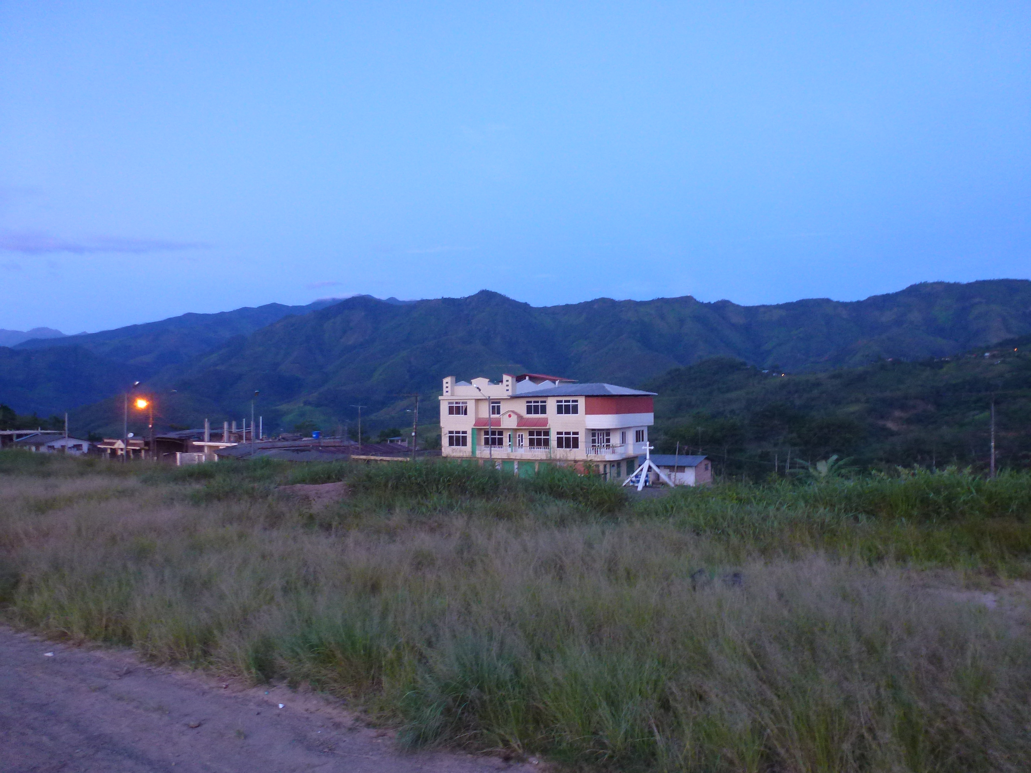
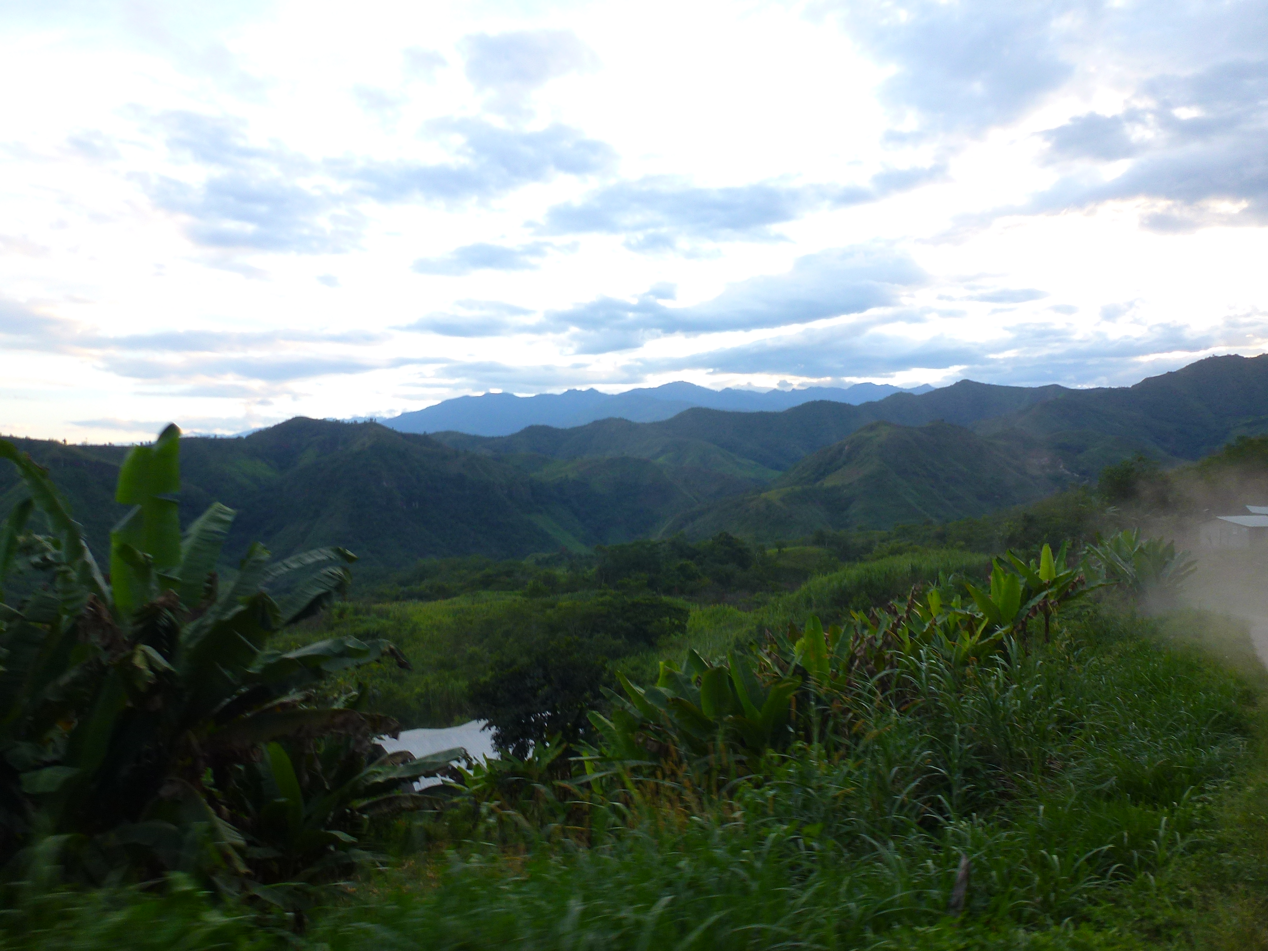
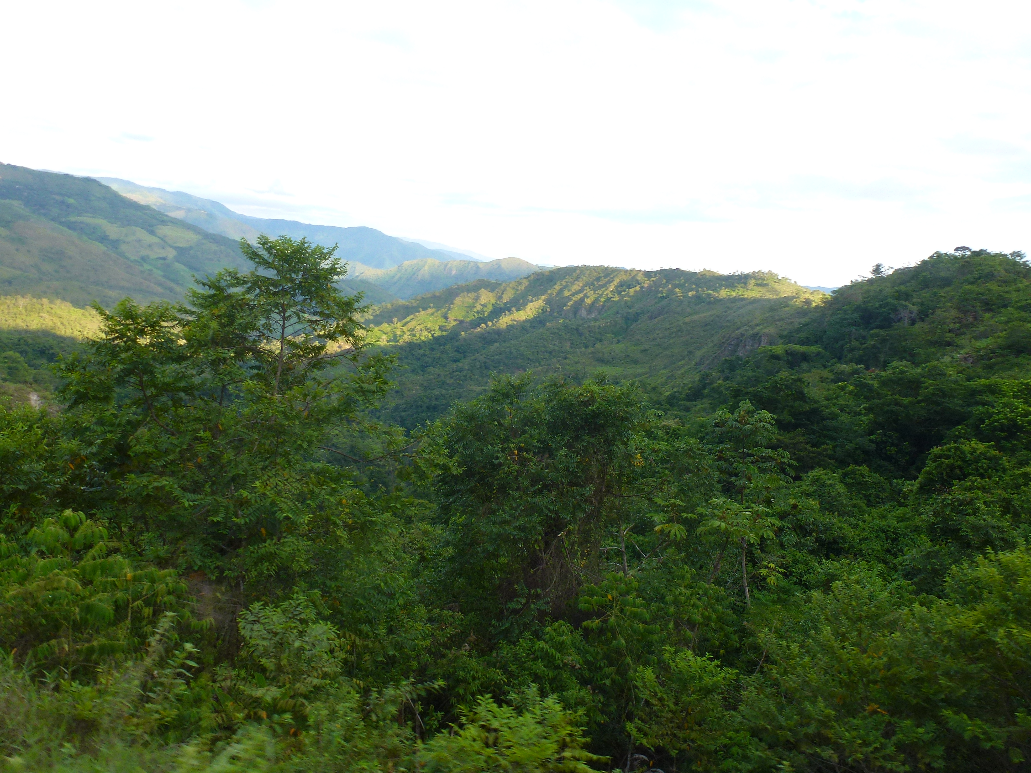
P1070242
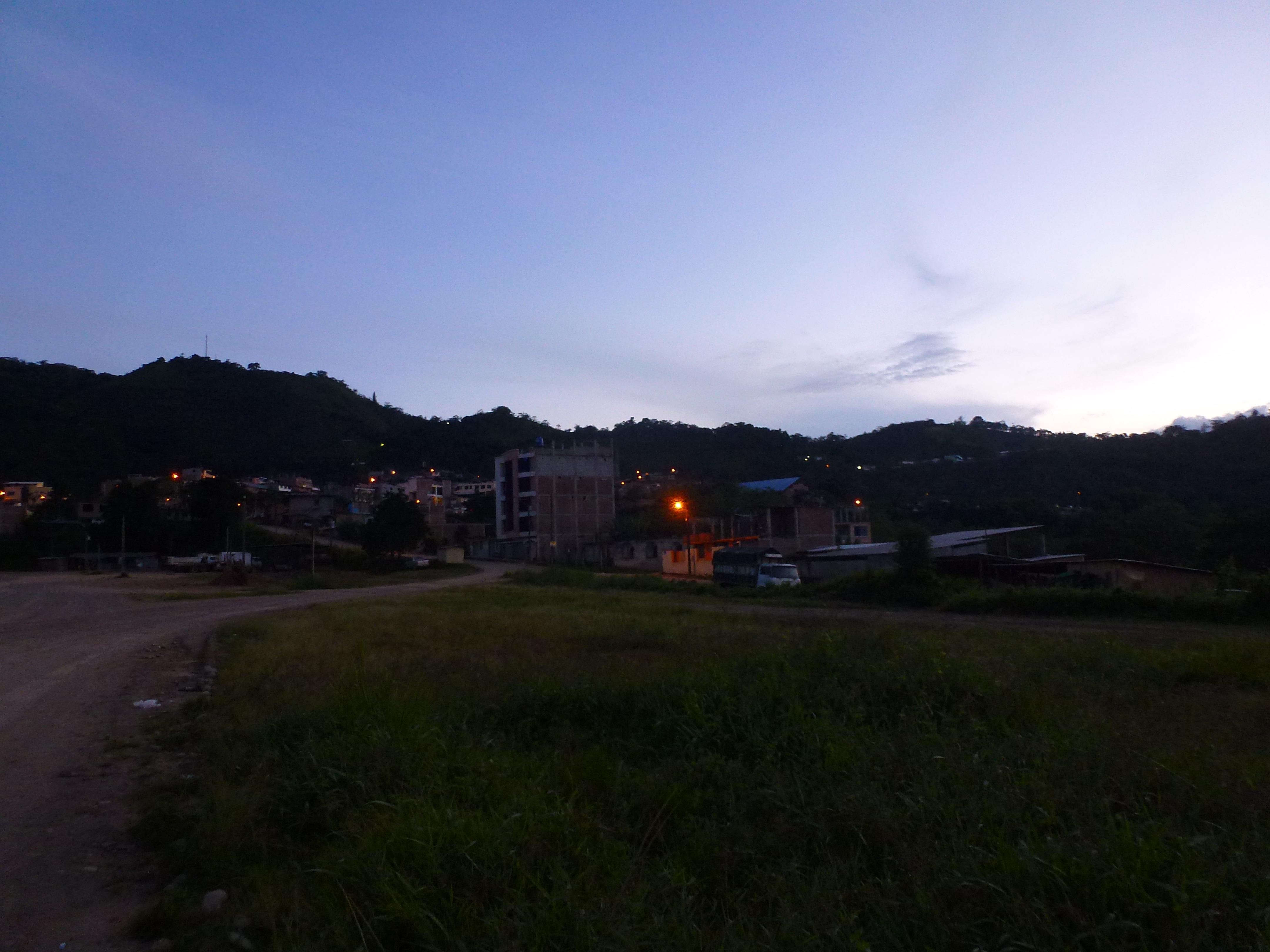
Zumba
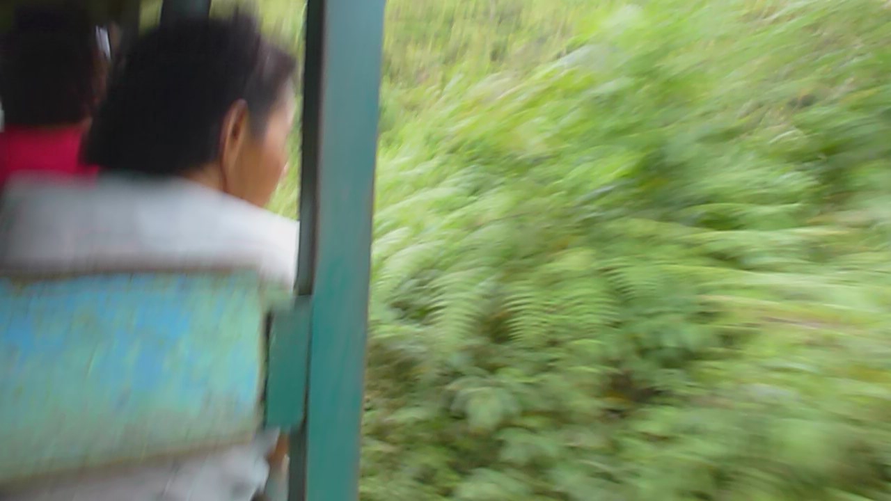
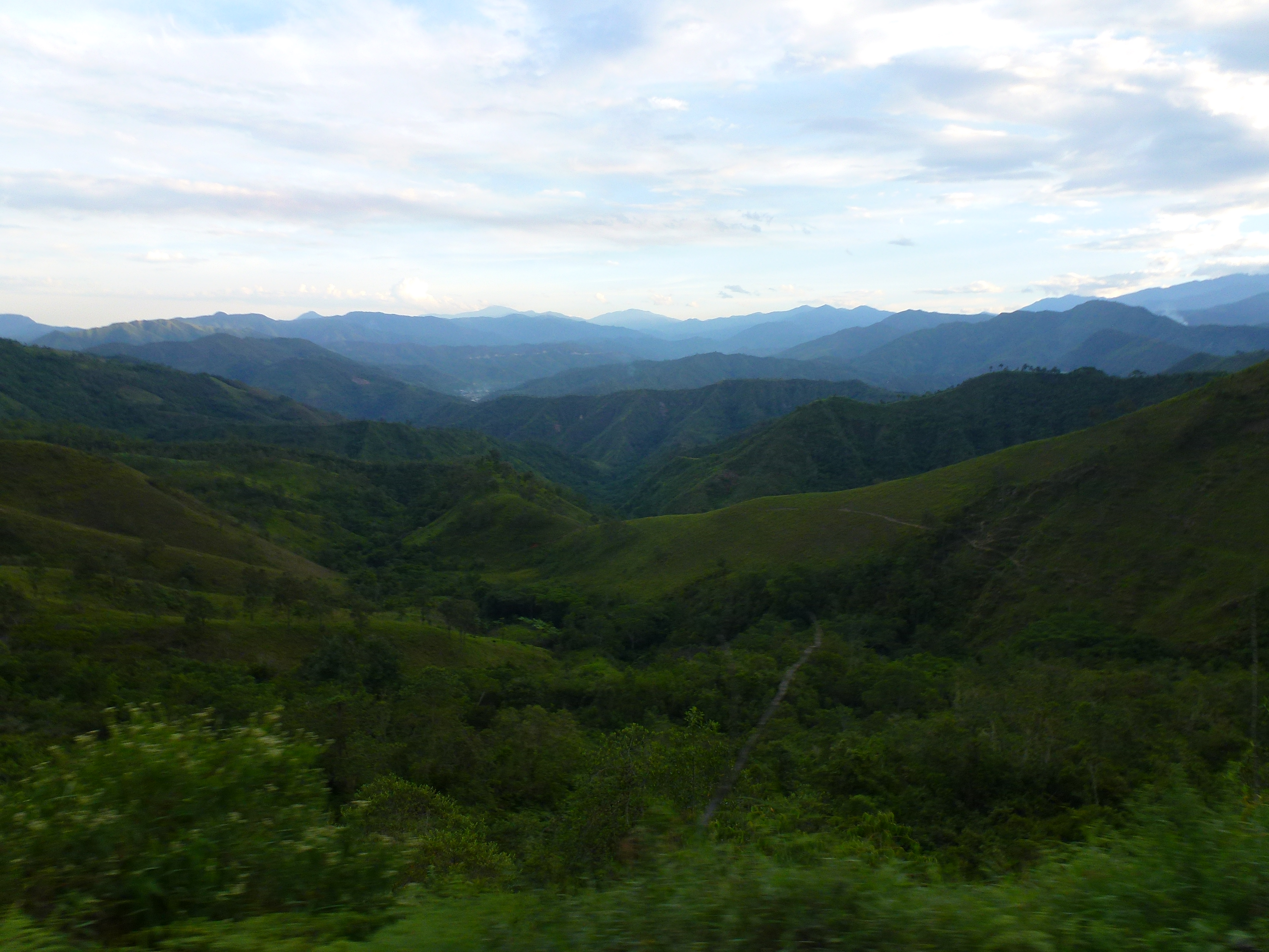
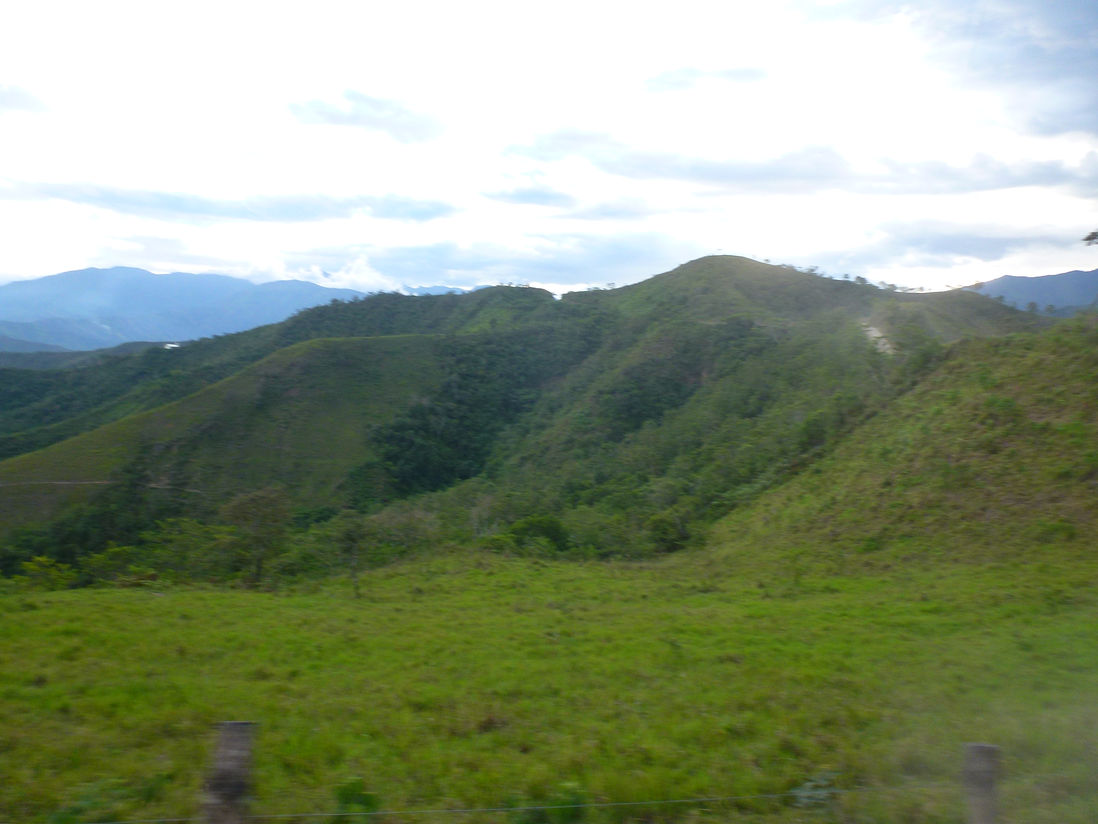
P1070229
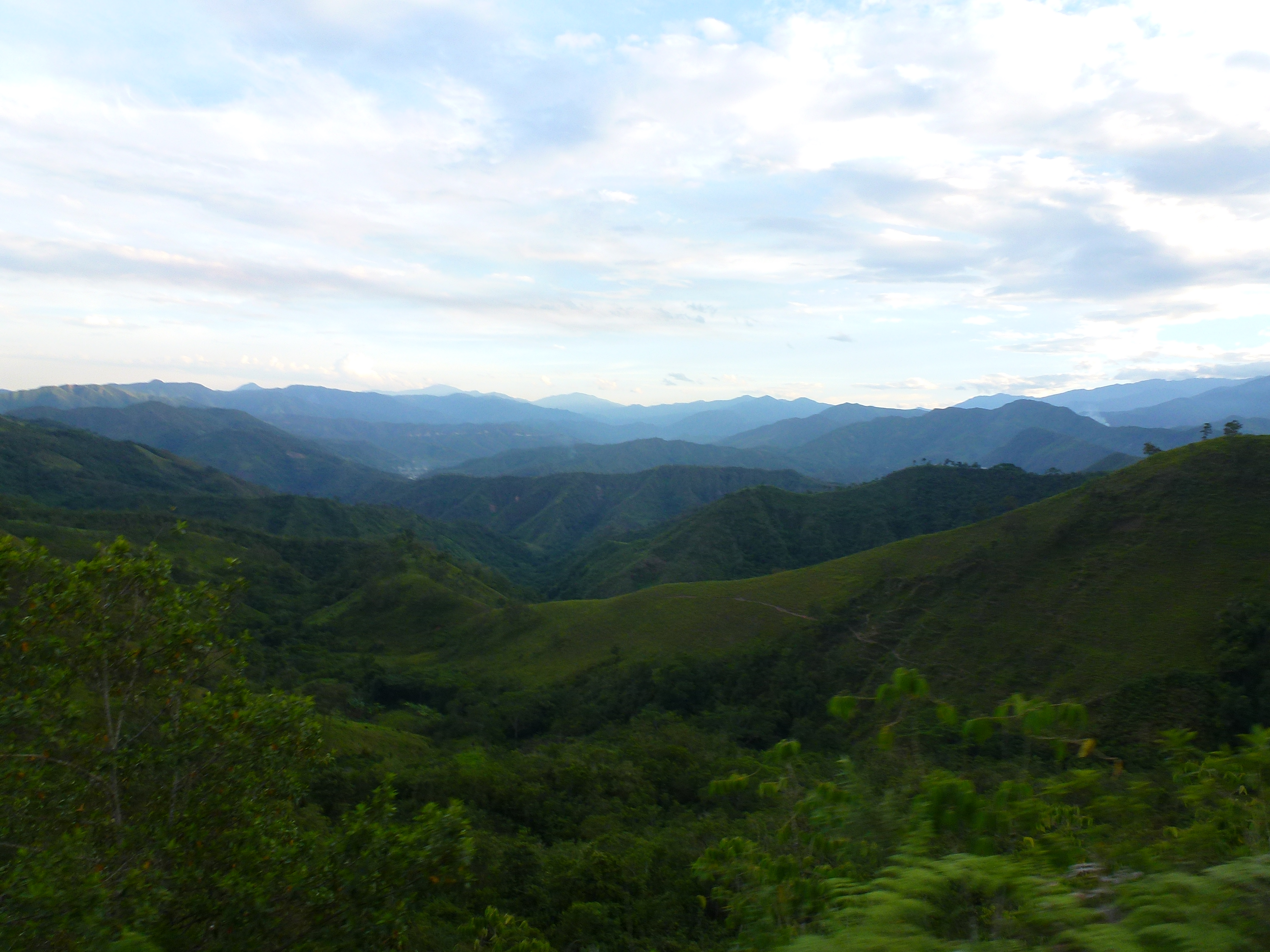
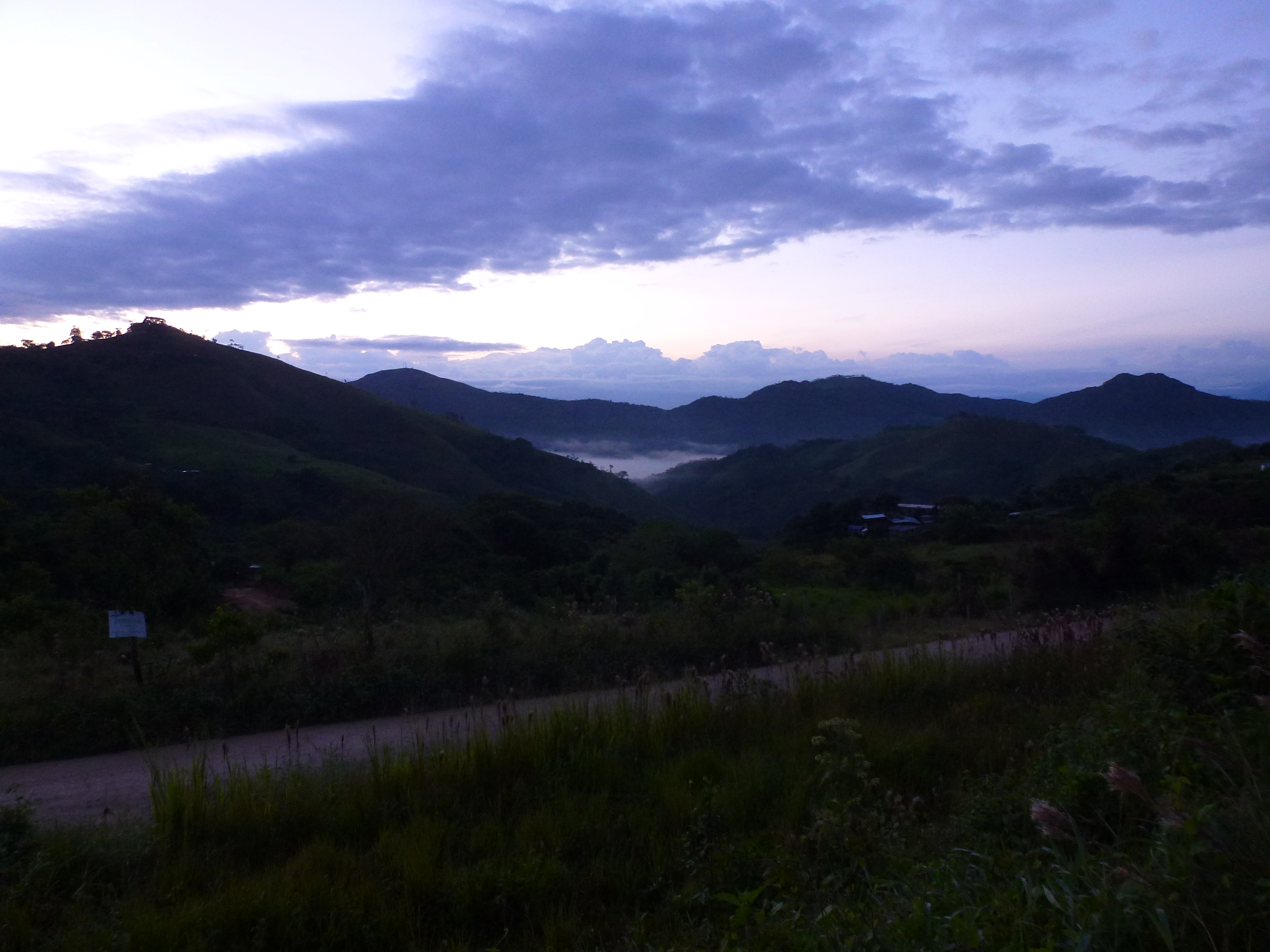
P1070236
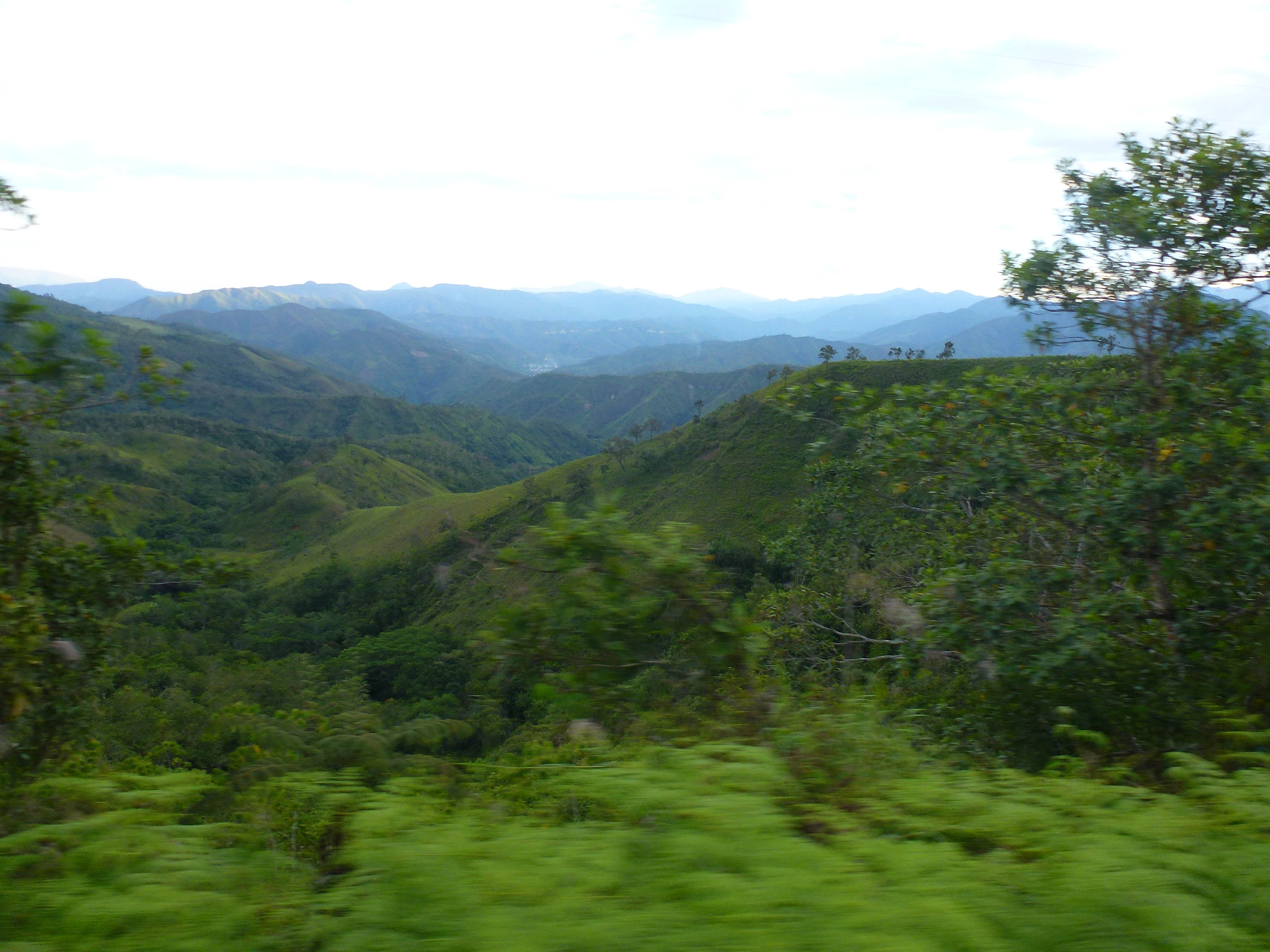
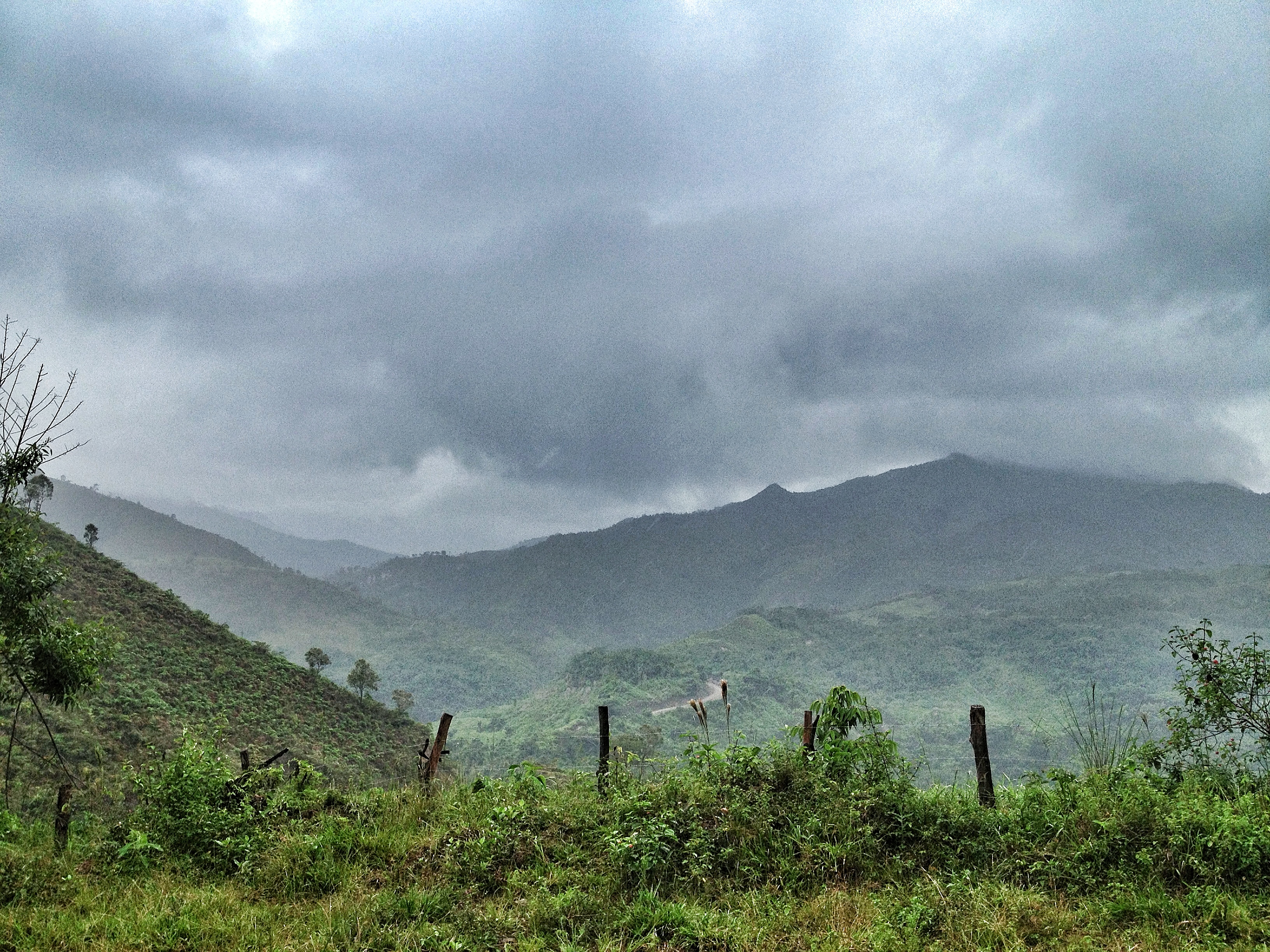
P1070240
P1070233
P1070232
P1070231
P1070227
P1070235

P1070234
Zumba, Ecuador
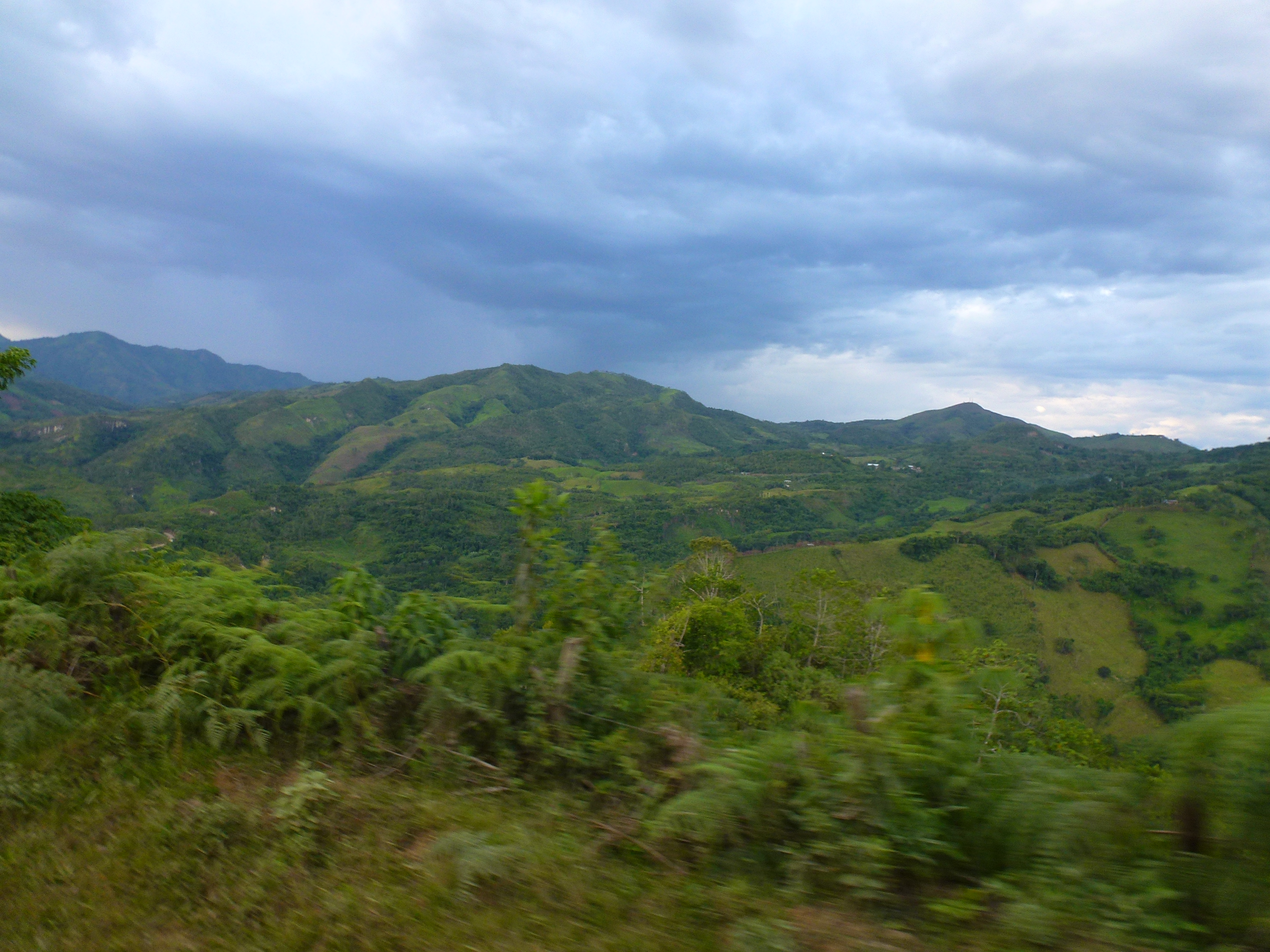
Peruvian Backcountry
La Balsa, Ecuador
Topographic Map of Eje Vial IV, Peru
Find elevation by address:

Places near Eje Vial IV, Peru:
Parque Nacional De Yacuri
Palanda
Valladolid
Rio Jorupe
Yangana
Hostal Izhcayluma
Via A Yamburara Alto
Vilcabamba (victoria)
Cerro Mandango
Vilcabamba
Gonzanamá
Santuario Del Señor Del Buen Suceso Y Nuestra Señora Del Carmen
Utuana
Sozoranga Canton
Charanal
Sozoranga
Macara
Recent Searches:
- Elevation of Corso Fratelli Cairoli, 35, Macerata MC, Italy
- Elevation of Tallevast Rd, Sarasota, FL, USA
- Elevation of 4th St E, Sonoma, CA, USA
- Elevation of Black Hollow Rd, Pennsdale, PA, USA
- Elevation of Oakland Ave, Williamsport, PA, USA
- Elevation of Pedrógão Grande, Portugal
- Elevation of Klee Dr, Martinsburg, WV, USA
- Elevation of Via Roma, Pieranica CR, Italy
- Elevation of Tavkvetili Mountain, Georgia
- Elevation of Hartfords Bluff Cir, Mt Pleasant, SC, USA