Elevation of Parkview Dr, Cana, VA, USA
| Latitude | 36.5941789 |
|---|---|
| Longitude | -80.6737932 |
| Elevation | -10000m / -32808feet |
| Barometric Pressure | 2951KPa |
Related Photos:

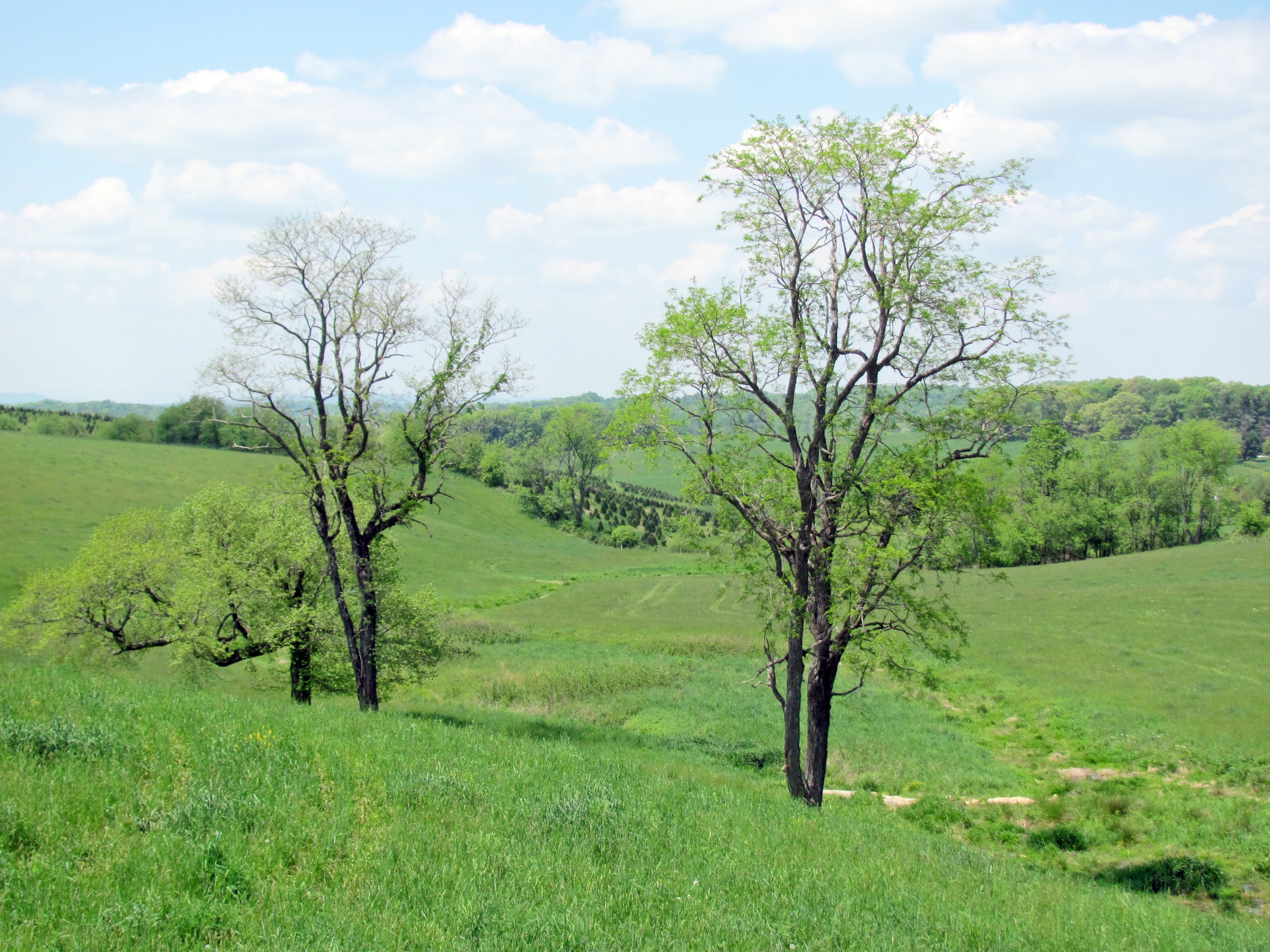
Starry swirl on the Blue Ridge Parkway.

Alone in the Fog

North Carolina | Mount Airy

pies, Fancy Gap, Virginia

160415-0817 Lowgap-Pano

2934 View Pilot Mountain Img_14095

2933 View Pilot Mountain Img_14094

2936 View Pilot Mountain Img_14097

2941 View Pilot Mountain Img_14102

2945 View Pilot Mountain Img_14106

2935 View Pilot Mountain Img_14096

2946 View Pilot Mountain Img_14107

view-

PARKWAY VIEW

The Rolling Blue Ridge Mountians

Puckett Cabin
View from the J. Sidna Allen House, Fancy Gap, Virginia

Nice view

Fancy Gap, Virginia

BLUEMONT PRESBYTERIAN CHURCH

Flame azalea, opening

DSC_0139, DSC_0140, DSC_0141 (1).jpg

IMG_5968.JPG

Small Mountain Stream

IMG_4125.JPG

IMG_6092.JPG

IMG_3931.JPG

the morning fog

Fancy Gap Morning

Mount Pilot
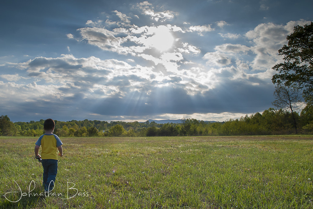
Walk Into The Sun

bee balm and daisies

Hay Rolls, Fancy Gap Va, Carroll County

Hay Rolls, Fancy Gap Va, Carroll County

Because there aren't enough pretty #sunset pictures on Instagram...

IMG_2201.JPG

Blue Ridge Mountain Moonrise #outdoors #virginia #gooutsideandplay
Topographic Map of Parkview Dr, Cana, VA, USA
Find elevation by address:
Places near Parkview Dr, Cana, VA, USA:
Cana
Fancy Gap Highway
240 Tan Bark Trail
Indian Fork Road
Fancy Gap
Old Ridge Trail
Old Ridge Trail
Bear Trail
794 Sandy Ridge Rd
14 Lucas Rd
1963 Elk Spur Rd
426 Little Waterfalls Trail
Autumn Point Trail
103 Little Waterfalls Trail
Little Rock Road
968 Apache Trail
Flint Ridge Trail
Wheeler Knob
2170 Cascade Trail
135 Overlook Trail
Recent Searches:
- Elevation of 104, Chancery Road, Middletown Township, Bucks County, Pennsylvania, 19047, USA
- Elevation of 1212, Cypress Lane, Dayton, Liberty County, Texas, 77535, USA
- Elevation map of Central Hungary, Hungary
- Elevation map of Pest, Central Hungary, Hungary
- Elevation of Pilisszentkereszt, Pest, Central Hungary, Hungary
- Elevation of Dharamkot Tahsil, Punjab, India
- Elevation of Bhinder Khurd, Dharamkot Tahsil, Punjab, India
- Elevation of 2881, Chabot Drive, San Bruno, San Mateo County, California, 94066, USA
- Elevation of 10370, West 107th Circle, Westminster, Jefferson County, Colorado, 80021, USA
- Elevation of 611, Roman Road, Old Ford, Bow, London, England, E3 2RW, United Kingdom
- Elevation of 116, Beartown Road, Underhill, Chittenden County, Vermont, 05489, USA
- Elevation of Window Rock, Colfax County, New Mexico, 87714, USA
- Elevation of 4807, Rosecroft Street, Kempsville Gardens, Virginia Beach, Virginia, 23464, USA
- Elevation map of Matawinie, Quebec, Canada
- Elevation of Sainte-Émélie-de-l'Énergie, Matawinie, Quebec, Canada
- Elevation of Rue du Pont, Sainte-Émélie-de-l'Énergie, Matawinie, Quebec, J0K2K0, Canada
- Elevation of 8, Rue de Bécancour, Blainville, Thérèse-De Blainville, Quebec, J7B1N2, Canada
- Elevation of Wilmot Court North, 163, University Avenue West, Northdale, Waterloo, Region of Waterloo, Ontario, N2L6B6, Canada
- Elevation map of Panamá Province, Panama
- Elevation of Balboa, Panamá Province, Panama