Elevation of Parkline, ID, USA
Location: United States > Idaho > Benewah County >
Longitude: -116.68866
Latitude: 47.33547
Elevation: 700m / 2297feet
Barometric Pressure: 93KPa
Elevation Map:
Satellite Map:
Related Photos:
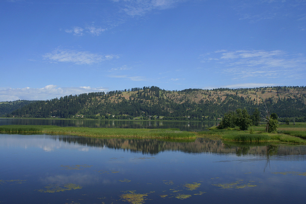
LAKE CHATCOLET, RAMSDELL, IDAHO 2012
Topographic Map of Parkline, ID, USA
Find elevation by address:

Places near Parkline, ID, USA:
82 Patches Ln
Cherry Creek Road
29176 Soloa Rd
Benewah County
13887 E Rosewood Rd
650 Ridgeview Dr
St. Maries High School
6134 Alder Creek Rd
26363 S Lake Ridge Rd
515 S 7th St
Highland Springs Road
Alder Creek Road
Saint Maries
344 Abbey Rd
Jim's Auto & Tire Pros
75 Ella Rd, St Maries, ID, USA
55 Christmas Hills Rd
Sportsman Access
1455 Flat Creek Rd
227 Winter Way
Recent Searches:
- Elevation of Corso Fratelli Cairoli, 35, Macerata MC, Italy
- Elevation of Tallevast Rd, Sarasota, FL, USA
- Elevation of 4th St E, Sonoma, CA, USA
- Elevation of Black Hollow Rd, Pennsdale, PA, USA
- Elevation of Oakland Ave, Williamsport, PA, USA
- Elevation of Pedrógão Grande, Portugal
- Elevation of Klee Dr, Martinsburg, WV, USA
- Elevation of Via Roma, Pieranica CR, Italy
- Elevation of Tavkvetili Mountain, Georgia
- Elevation of Hartfords Bluff Cir, Mt Pleasant, SC, USA