Elevation of Parker, OK, USA
Location: United States > Oklahoma >
Longitude: -96.180278
Latitude: 34.7378712
Elevation: 207m / 679feet
Barometric Pressure: 99KPa
Elevation Map:
Satellite Map:
Related Photos:

a little flare at camp WOW

cold canoe

fiery thistle

sunset berries

orange but not an orange

American Burying Beetle

the tree photo

Rock Wall
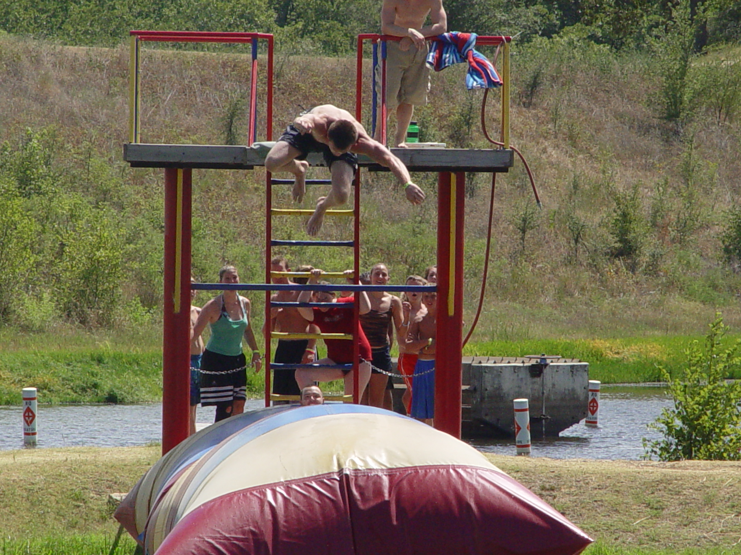
Blob Dive
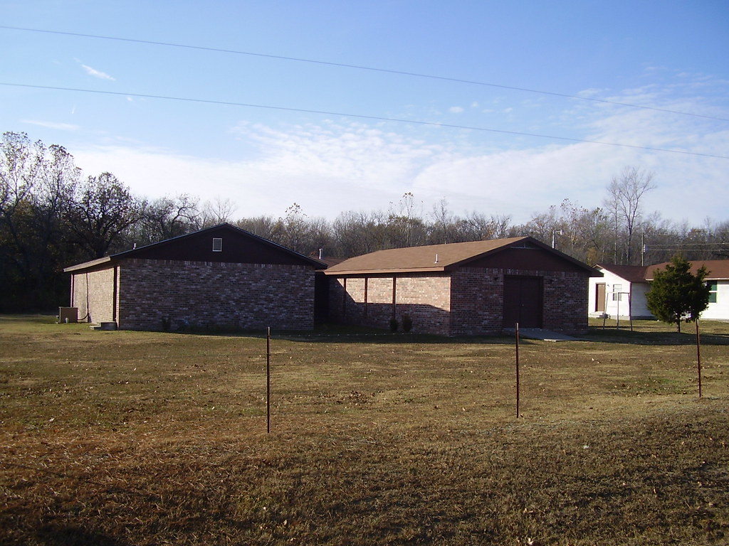
Boiling Spring UMC 2007
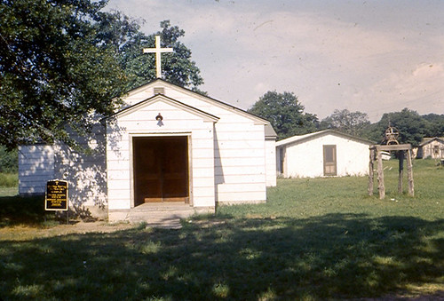
Boiling Spring UMC 1966
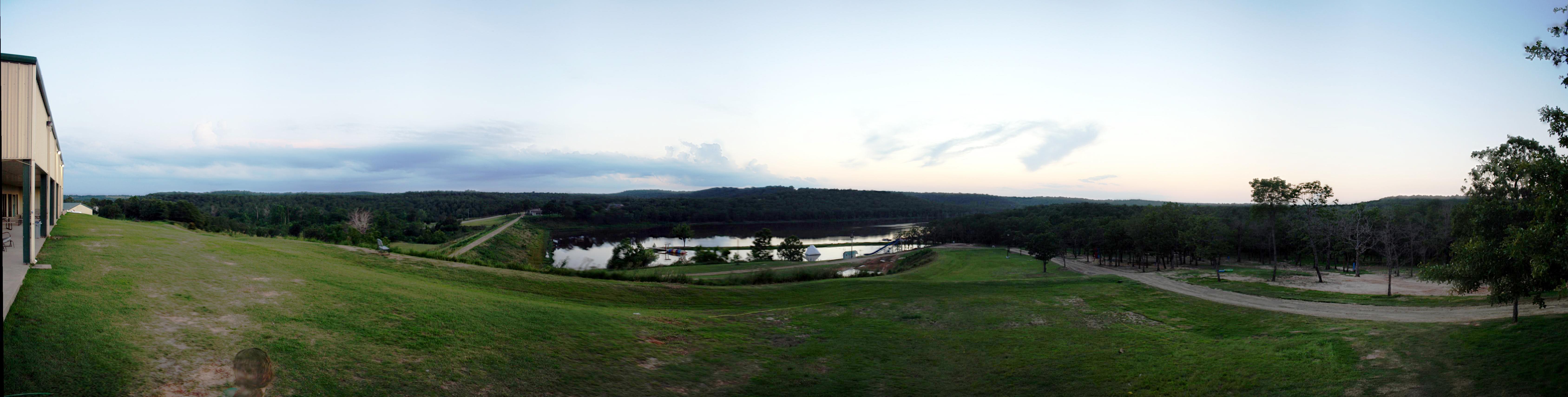
Camp Sunset Panoramic
Topographic Map of Parker, OK, USA
Find elevation by address:

Places near Parker, OK, USA:
N Rd, Wardville, OK, USA
Wardville
8598 Us-270
806 Roosevelt Ave
3379 Haywood Rd
US-, McAlester, OK, USA
Main St, Kiowa, OK, USA
Pittsburg
Atoka County
US-75, Yeager, OK, USA
Atoka
N Rd, McAlester, OK, USA
Holdenville
E Main St, Holdenville, OK, USA
211 N Broadway St
Hughes County
Pittsburg County
2705 Highland Terrace
1715 Boardwalk Ave
Mcalester
Recent Searches:
- Elevation of Corso Fratelli Cairoli, 35, Macerata MC, Italy
- Elevation of Tallevast Rd, Sarasota, FL, USA
- Elevation of 4th St E, Sonoma, CA, USA
- Elevation of Black Hollow Rd, Pennsdale, PA, USA
- Elevation of Oakland Ave, Williamsport, PA, USA
- Elevation of Pedrógão Grande, Portugal
- Elevation of Klee Dr, Martinsburg, WV, USA
- Elevation of Via Roma, Pieranica CR, Italy
- Elevation of Tavkvetili Mountain, Georgia
- Elevation of Hartfords Bluff Cir, Mt Pleasant, SC, USA