Elevation of N Rd, McAlester, OK, USA
Location: United States > Oklahoma > Pittsburg County > Mcalester >
Longitude: -95.776647
Latitude: 34.7518657
Elevation: 220m / 722feet
Barometric Pressure: 99KPa
Elevation Map:
Satellite Map:
Related Photos:

Woah.. Something blew up. Felt the explosions!!

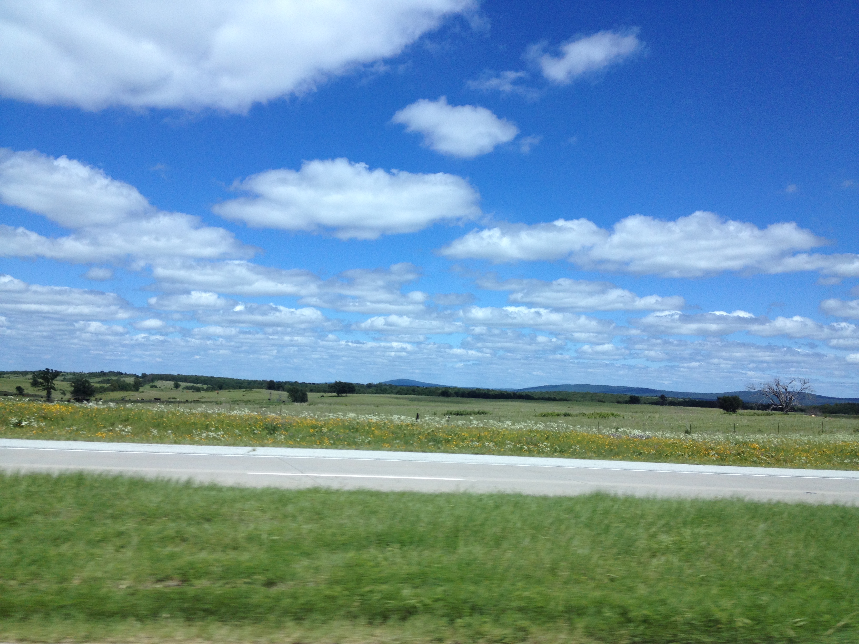
10-17-09 Texarkana Trip 15
Driving home to
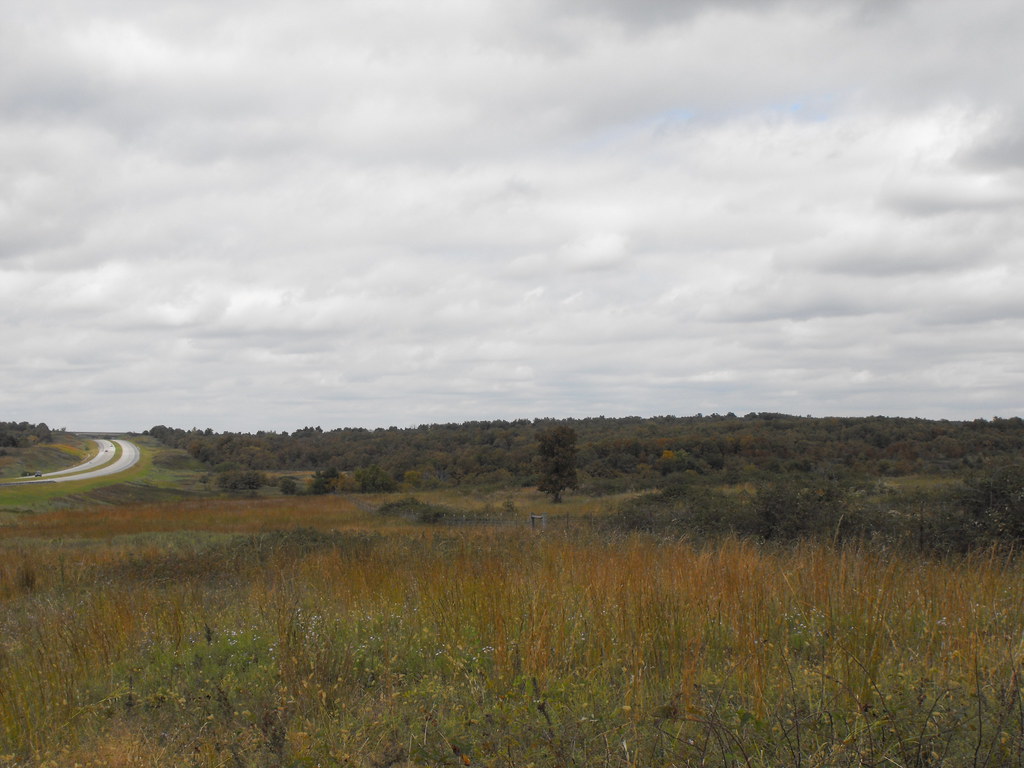
10-17-09 Texarkana Trip 14
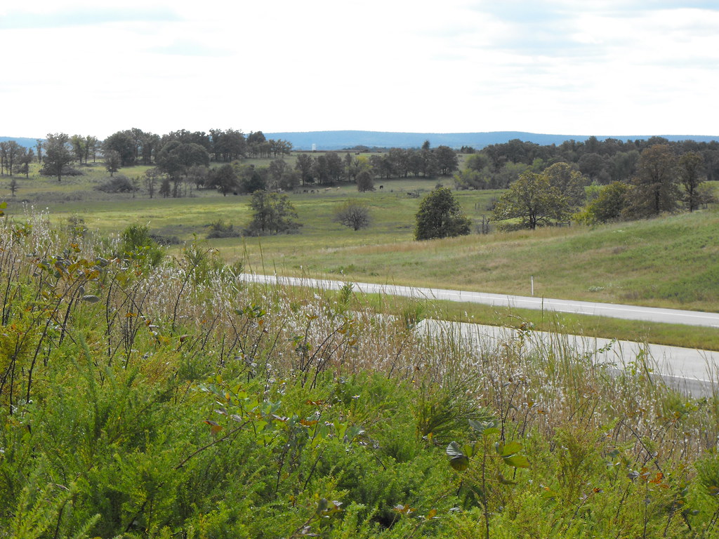
10-17-09 Texarkana Trip 17
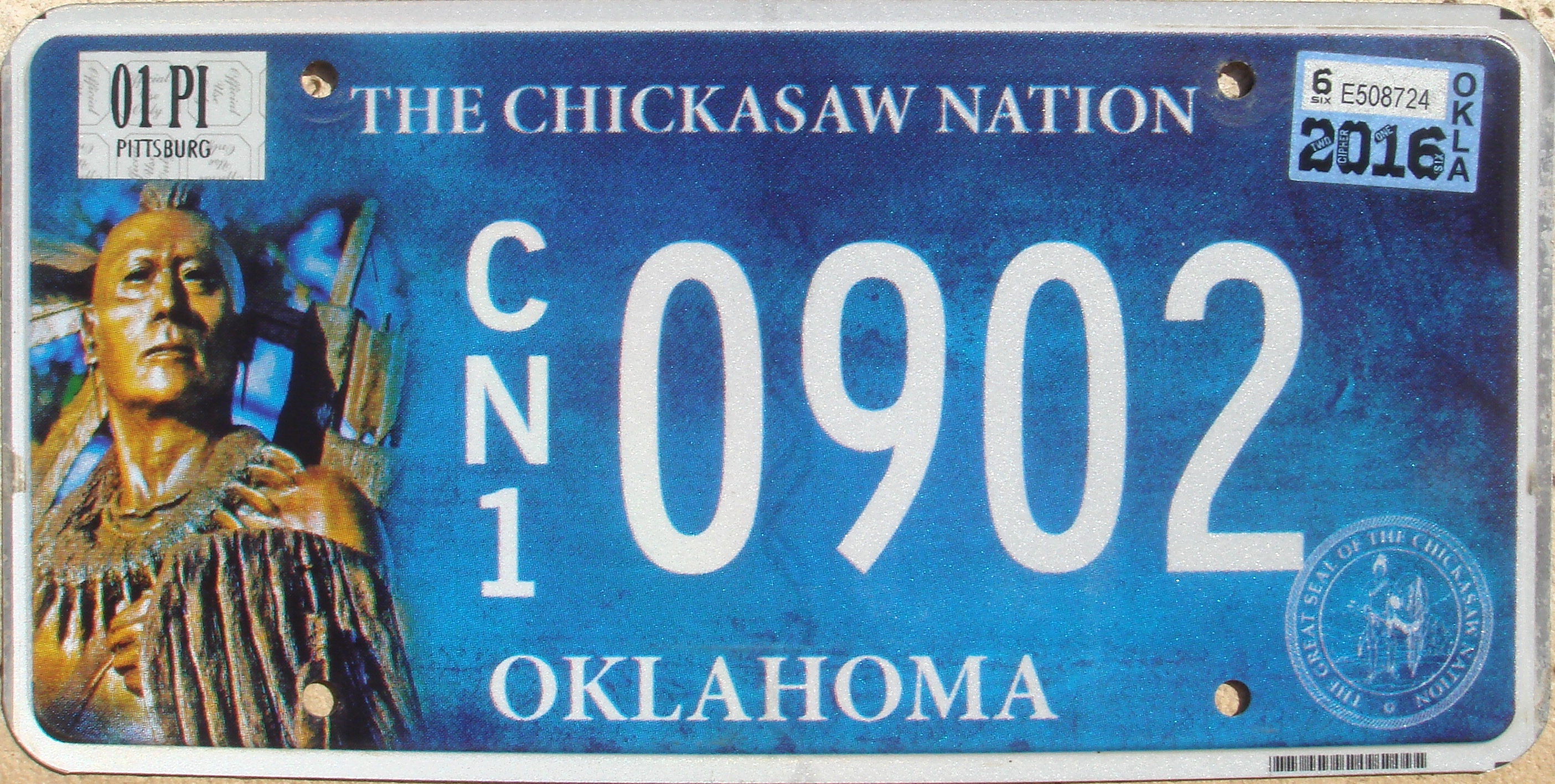
Chickasaw Nation Flat License Plate

Wheeler's. #VintageSigns
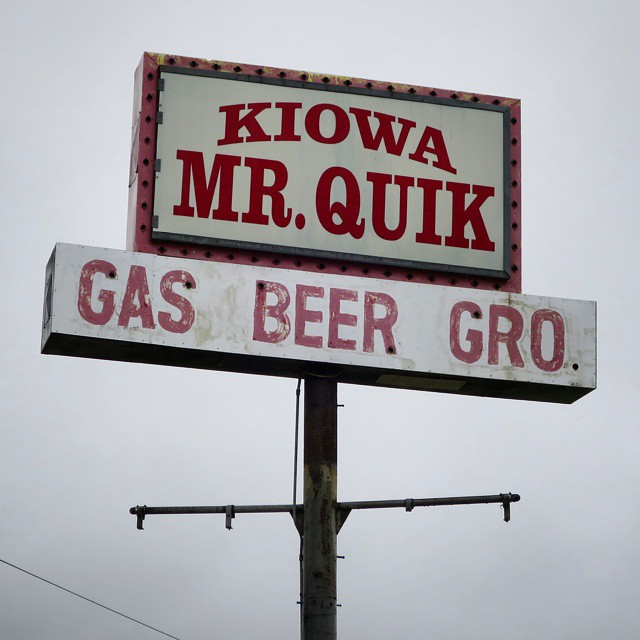
Mr. Quik. #VintageSigns

Oklahoma Highway Patrol

Oklahoma Highway Patrol
Topographic Map of N Rd, McAlester, OK, USA
Find elevation by address:

Places near N Rd, McAlester, OK, USA:
Pittsburg
Main St, Kiowa, OK, USA
2705 Highland Terrace
1715 Boardwalk Ave
Mcalester
907 E Madison Ave
839 E Monroe Ave
N Maple St, McAlester, OK, USA
Krebs
Daisy
3379 Haywood Rd
Pittsburg County
OK-, McAlester, OK, USA
US-, McAlester, OK, USA
N Rd, Wardville, OK, USA
Wardville
Old US Hwy 69, McAlester, OK, USA
367 D4145 Rd
3444 Massey Point Rd
Rock Creek Rd Rv Campground
Recent Searches:
- Elevation of Corso Fratelli Cairoli, 35, Macerata MC, Italy
- Elevation of Tallevast Rd, Sarasota, FL, USA
- Elevation of 4th St E, Sonoma, CA, USA
- Elevation of Black Hollow Rd, Pennsdale, PA, USA
- Elevation of Oakland Ave, Williamsport, PA, USA
- Elevation of Pedrógão Grande, Portugal
- Elevation of Klee Dr, Martinsburg, WV, USA
- Elevation of Via Roma, Pieranica CR, Italy
- Elevation of Tavkvetili Mountain, Georgia
- Elevation of Hartfords Bluff Cir, Mt Pleasant, SC, USA