Elevation of Parawa, New Zealand
Location: New Zealand > Southland >
Longitude: 168.531951
Latitude: -45.544159
Elevation: 268m / 879feet
Barometric Pressure: 98KPa
Elevation Map:
Satellite Map:
Related Photos:

Mile Peg, Loading Bank and Station Board.

Farmland, South Island, New Zealand

View from Mossburn Five Rivers Road

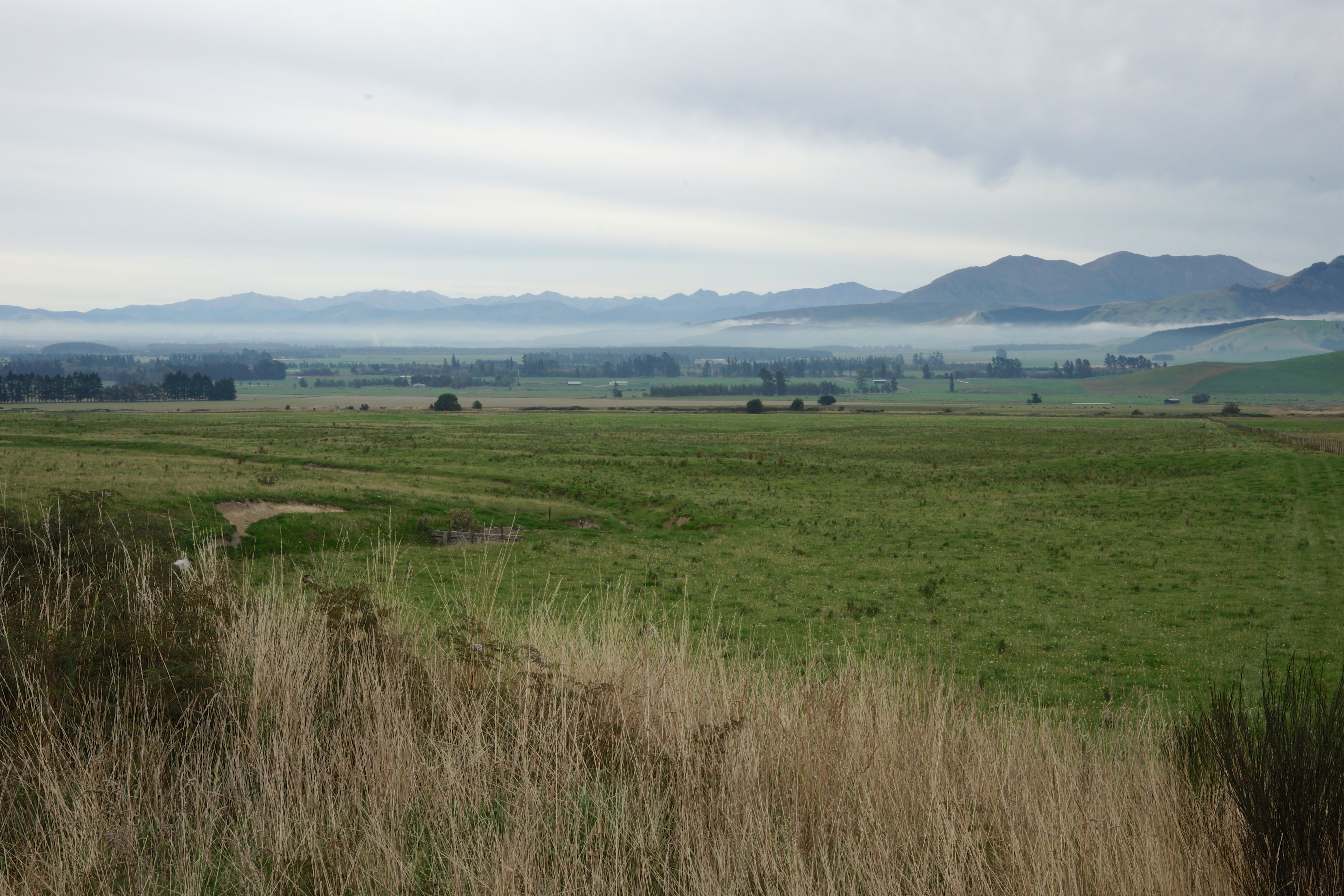
Rural Southland

The view from our B&B

I Walk Alone

Pondering Freedom

Tearooms; A fisherman's rest? Parawa, New Zealand

Milford Sound New Zealand

Milford Sound Fjord South Island of New Zealand.

NewZeland 2011

Winter scenery, near Atholl, Southland, New Zealand

Old house, Parawa, Southland, New Zealand

New Zealand

Road 6, Southland, New Zealand.

Garston-Athol Hwy, South Island (482971)

Winter scenery, near Atholl, Southland, New Zealand
Misty valley, Eyre Creek, NZ

Athol-Five Rivers Hwy, South Island (482973)

Lights for all

Athol-Five Rivers Hwy, South Island (482974)

Winter scenery, near Atholl, Southland, New Zealand

lamb feeding

Blue Spot.

Lines & Curves.

Mid Dome
Topographic Map of Parawa, New Zealand
Find elevation by address:

Places in Parawa, New Zealand:
Places near Parawa, New Zealand:
Nokomai Road
Lumsden
Wesney Terrace
Mossburn
Dipton
Mavora
Centre Hill
Walter Peak
Centre Hill Road
Walter Peak
Cecil Peak
Mavora Lakes Camping Area - North Lake.
Lake Wakatipu
Sunshine Bay
243 Fernhill Road
Jack's Point Golf Course & Clubhouse
2 Whitbourn Place
1 Strawberry Ln
Queenstown Golf Course
13 Woolshed Road
Recent Searches:
- Elevation of Corso Fratelli Cairoli, 35, Macerata MC, Italy
- Elevation of Tallevast Rd, Sarasota, FL, USA
- Elevation of 4th St E, Sonoma, CA, USA
- Elevation of Black Hollow Rd, Pennsdale, PA, USA
- Elevation of Oakland Ave, Williamsport, PA, USA
- Elevation of Pedrógão Grande, Portugal
- Elevation of Klee Dr, Martinsburg, WV, USA
- Elevation of Via Roma, Pieranica CR, Italy
- Elevation of Tavkvetili Mountain, Georgia
- Elevation of Hartfords Bluff Cir, Mt Pleasant, SC, USA