Elevation of Mavora, New Zealand
Location: New Zealand > Southland >
Longitude: 168.180502
Latitude: -45.329806
Elevation: 619m / 2031feet
Barometric Pressure: 94KPa
Elevation Map:
Satellite Map:
Related Photos:

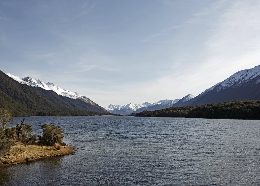
Mavora Lake - South
Mavora South Lake

87/118 Historic

A Frosty Start

Mavora Lake Pond

North of South Mavora Lake

Mavora Lake

Mount Nicholas Road

Mountain Reflection near Mavora

Mavora River Mouth

South Mavora Lake ll

Break in the Clouds

Over the River

North Mavora Lake

Mararoa Swing Bridge

Tarn Reflection near Mavora

Mavora Conservation Park

North Mavora Lake, Southland, New Zealand, Oct 2011

Thomson Mountains lll

High Country Hut

South Mavora Lake Framed

Mt Jane and Tooth Peaks
Topographic Map of Mavora, New Zealand
Find elevation by address:

Places near Mavora, New Zealand:
Mavora Lakes Camping Area - North Lake.
Centre Hill Road
Centre Hill
1200 Kakapo Rd
Mossburn
Kakapo Road
The Key
500 Kakapo Rd
300 Kakapo Rd
223 Kakapo Rd
217 Sinclair Rd
Parawa
36c Kakapo Rd
Walter Peak
Walter Peak
Lake Wakatipu
1 Burnby Drive
Te Anau
Nokomai Road
Lakefront Lodge
Recent Searches:
- Elevation of Corso Fratelli Cairoli, 35, Macerata MC, Italy
- Elevation of Tallevast Rd, Sarasota, FL, USA
- Elevation of 4th St E, Sonoma, CA, USA
- Elevation of Black Hollow Rd, Pennsdale, PA, USA
- Elevation of Oakland Ave, Williamsport, PA, USA
- Elevation of Pedrógão Grande, Portugal
- Elevation of Klee Dr, Martinsburg, WV, USA
- Elevation of Via Roma, Pieranica CR, Italy
- Elevation of Tavkvetili Mountain, Georgia
- Elevation of Hartfords Bluff Cir, Mt Pleasant, SC, USA