Elevation of Paradise Peak, Nevada, USA
Location: United States > Nevada > Paradise Valley >
Longitude: -117.66902
Latitude: 41.4976749
Elevation: 2683m / 8802feet
Barometric Pressure: 73KPa
Elevation Map:
Satellite Map:
Related Photos:
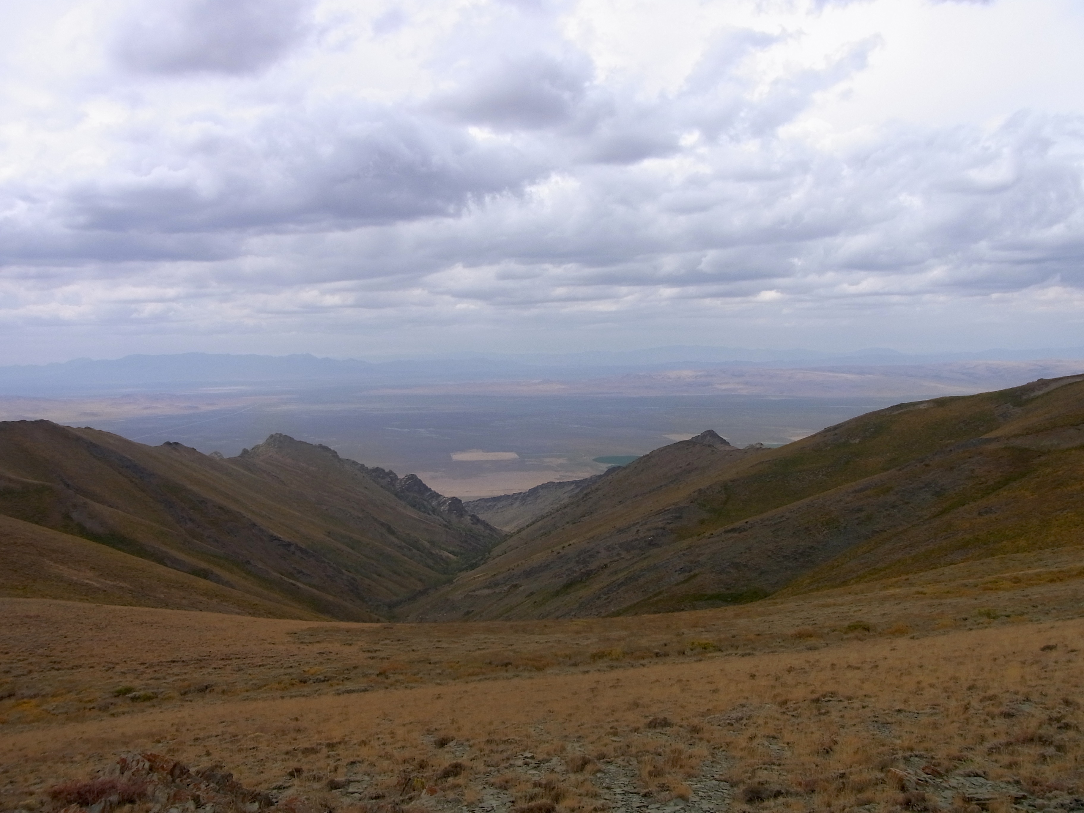
View west from Abel pass
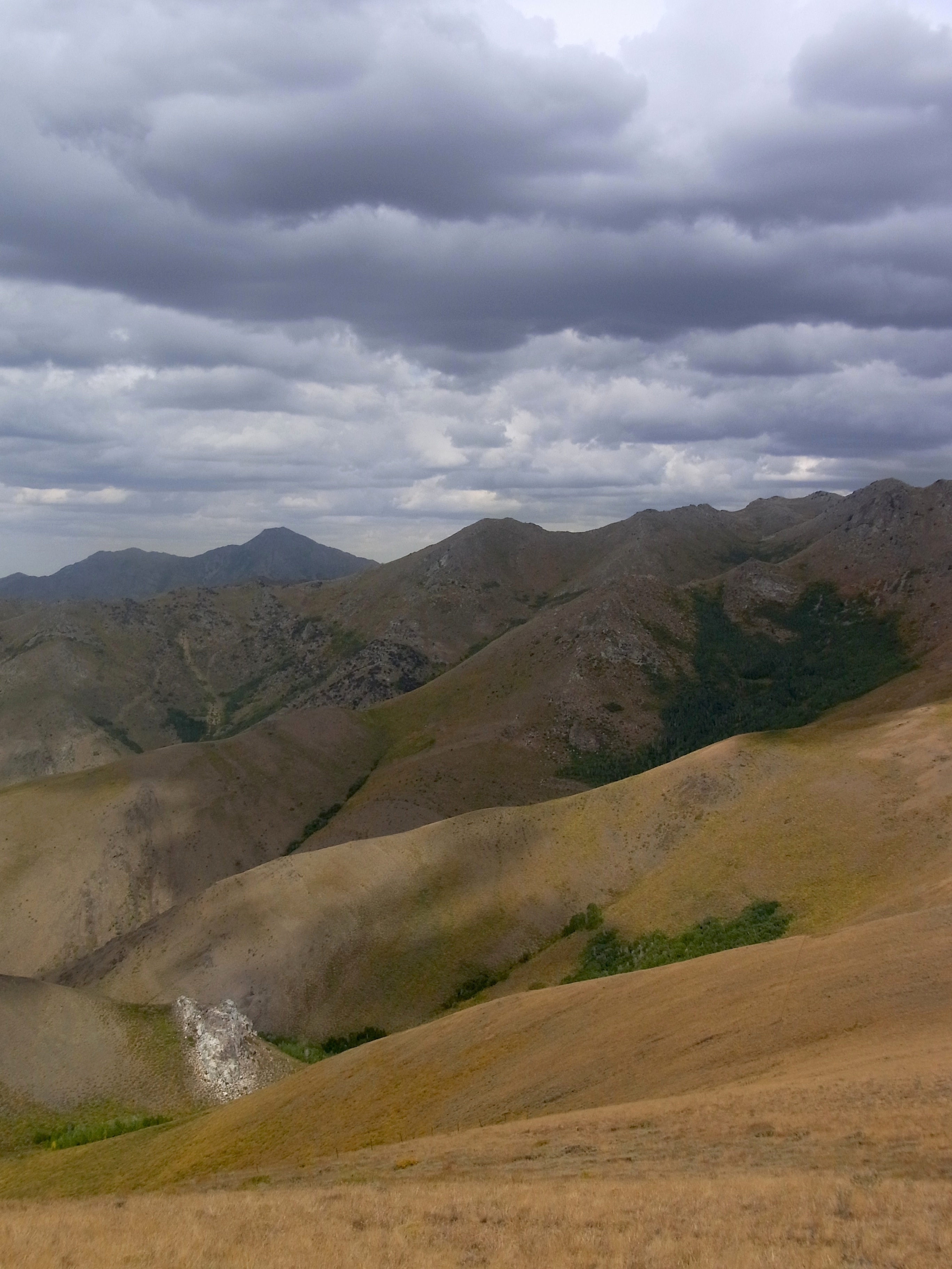
View northwest from Abel pass
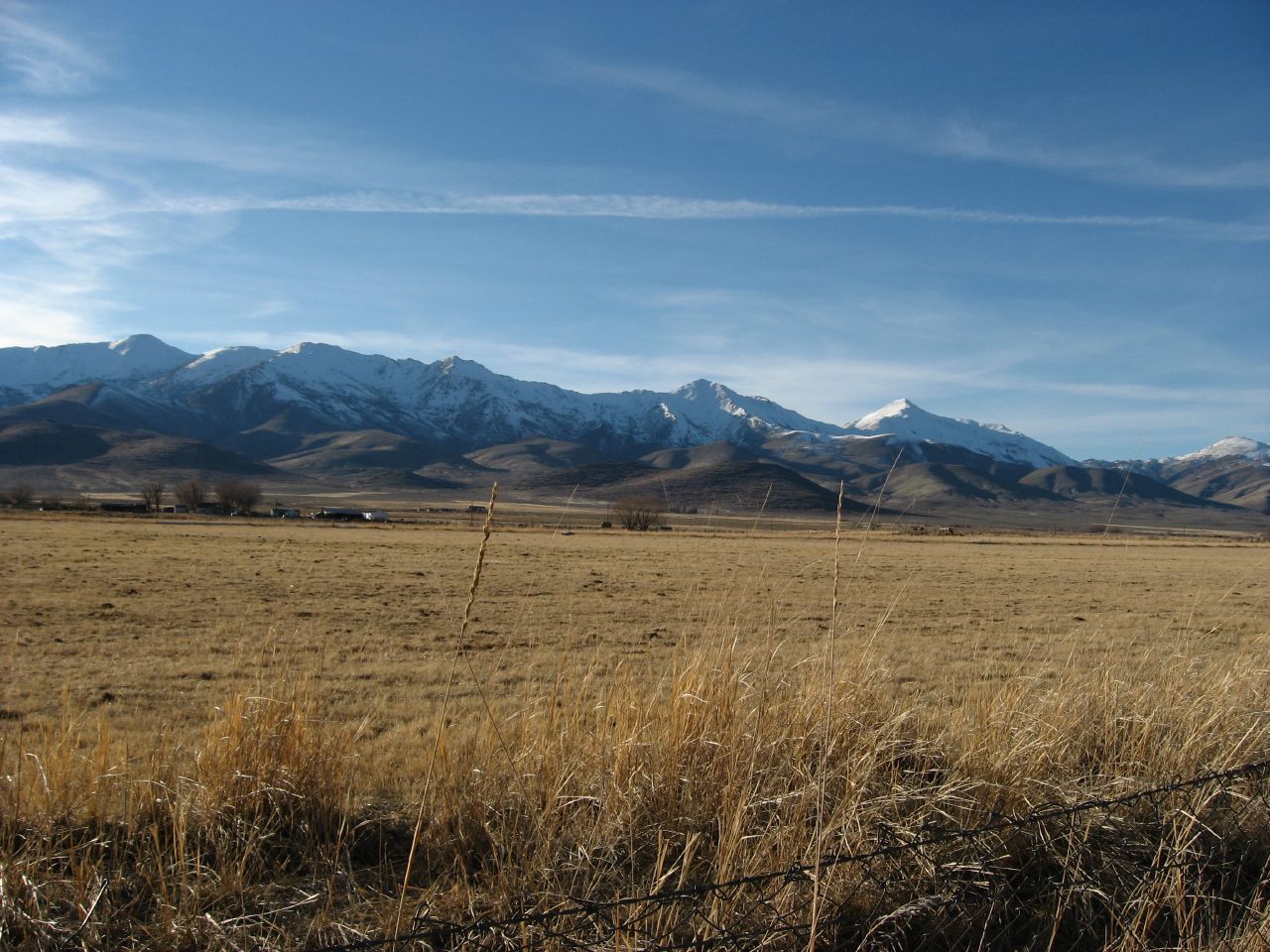
View of Santa Rosa Range, Paradise Valley, Nevada
Topographic Map of Paradise Peak, Nevada, USA
Find elevation by address:

Places near Paradise Peak, Nevada, USA:
Santa Rosa Peak
Paradise Valley
Sawtooth Station
Orovada
Winchester Drive
Godchaux Road
Godchaux Road
Cheyenne Drive
Bloody Run Peak
Adam Peak
Mcdermitt
4600 Maxine Dr
Winnemucca
Golconda
Sonoma Peak
Blue Mountain
1980 Youngberg Rd
Youngberg Road
Logan Road
17000 Grass Valley Rd
Recent Searches:
- Elevation of Corso Fratelli Cairoli, 35, Macerata MC, Italy
- Elevation of Tallevast Rd, Sarasota, FL, USA
- Elevation of 4th St E, Sonoma, CA, USA
- Elevation of Black Hollow Rd, Pennsdale, PA, USA
- Elevation of Oakland Ave, Williamsport, PA, USA
- Elevation of Pedrógão Grande, Portugal
- Elevation of Klee Dr, Martinsburg, WV, USA
- Elevation of Via Roma, Pieranica CR, Italy
- Elevation of Tavkvetili Mountain, Georgia
- Elevation of Hartfords Bluff Cir, Mt Pleasant, SC, USA