Elevation map of Adam Peak, Nevada, USA
Location: United States > Nevada > Golconda >
Longitude: -117.30511
Latitude: 41.1604565
Elevation: 2553m / 8376feet
Barometric Pressure: 74KPa
Elevation Map:
Satellite Map:
Related Photos:
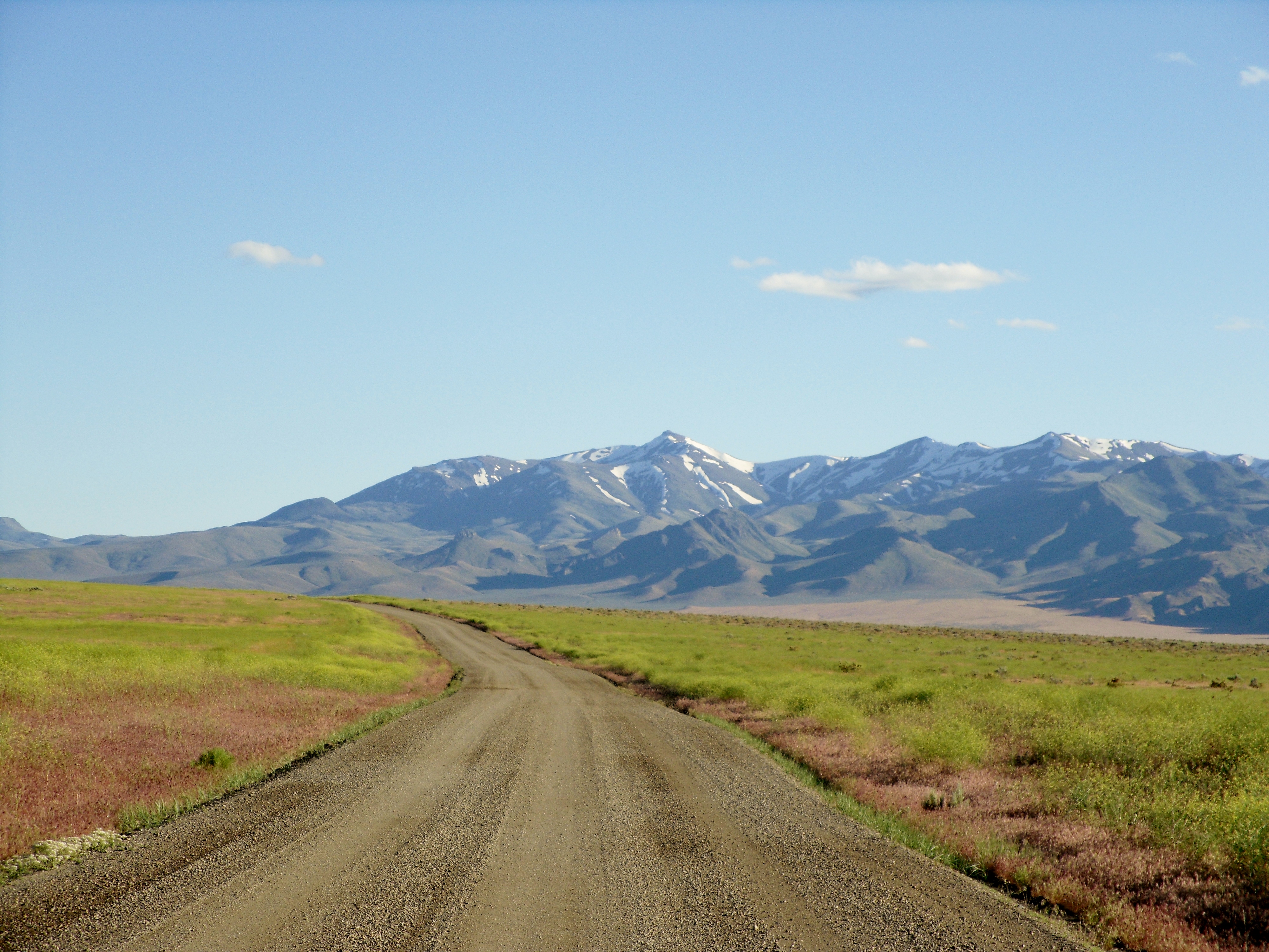
Eden Valley Road heading south from Paradise Valley/ Chimney Dam Reservoir towards Golconda and I-80
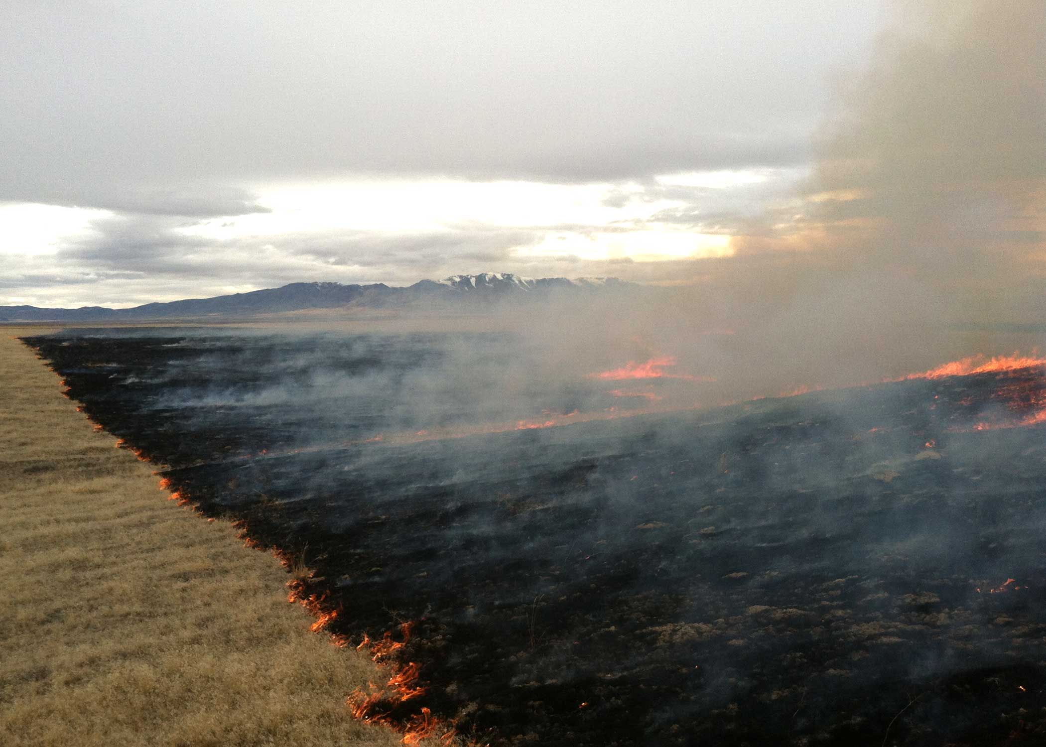
Izzenhood prescribed burn
Topographic Map of Adam Peak, Nevada, USA
Find elevation by address:

Places near Adam Peak, Nevada, USA:
Golconda
Godchaux Road
Godchaux Road
Cheyenne Drive
Winchester Drive
Paradise Valley
Valmy
Sonoma Peak
4600 Maxine Dr
Bloody Run Peak
Winnemucca
Paradise Peak
Jackson Mine
Santa Rosa Peak
17000 Grass Valley Rd
1980 Youngberg Rd
Youngberg Road
Logan Road
Sawtooth Station
Orovada
Recent Searches:
- Elevation of Corso Fratelli Cairoli, 35, Macerata MC, Italy
- Elevation of Tallevast Rd, Sarasota, FL, USA
- Elevation of 4th St E, Sonoma, CA, USA
- Elevation of Black Hollow Rd, Pennsdale, PA, USA
- Elevation of Oakland Ave, Williamsport, PA, USA
- Elevation of Pedrógão Grande, Portugal
- Elevation of Klee Dr, Martinsburg, WV, USA
- Elevation of Via Roma, Pieranica CR, Italy
- Elevation of Tavkvetili Mountain, Georgia
- Elevation of Hartfords Bluff Cir, Mt Pleasant, SC, USA