Elevation of Paola, KS, USA

Location: United States > Kansas > Miami County >

Longitude: -94.879129

Latitude: 38.5722353

Elevation: 279m / 915feet

Barometric Pressure: 98KPa

Elevation Map:

elevation map of Paola, KS, USA

Satellite Map:

Satellite map of Paola, KS, USA

Related Photos:

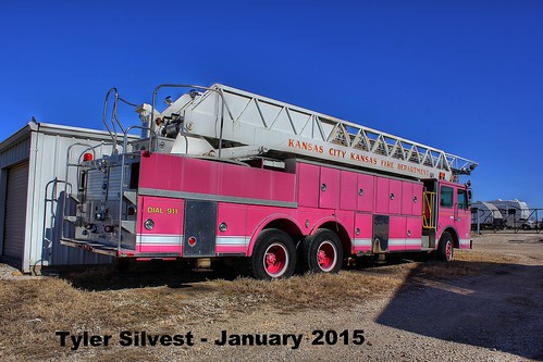
city fire kansas kckfd
EX - Truck 7 Rear View HDR
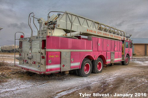
city fire kansascity kansas kckfd
1/4 EX - Truck 7 Rear View
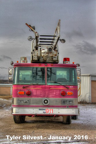
city fire kansascity kansas kckfd
3/4 EX - Truck 7 Front View
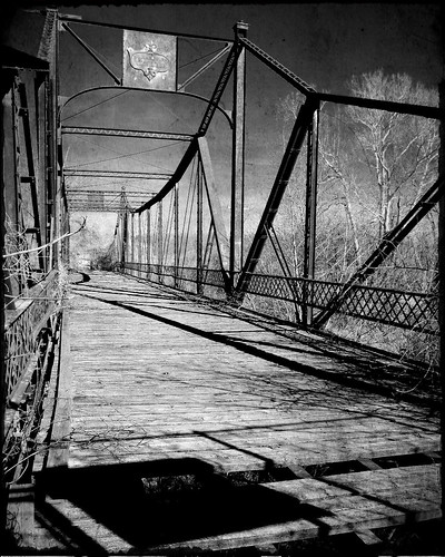
bridge bw texture puente kansas texturized osawatomie abandonedbridge asylumbridge
Asylum Bridge - Osawatomie, Kansas
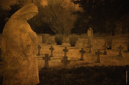
bw texture cemetery graveyard d70 tomb monochromatic graves kansas tombstones convent paola visualart texturized aplusphoto spiritofphotography
Convent Cemetery
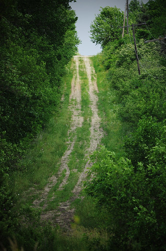
road nikon path ks country dirt trail paola gravel countryroad gravelroad d5000
Old Path
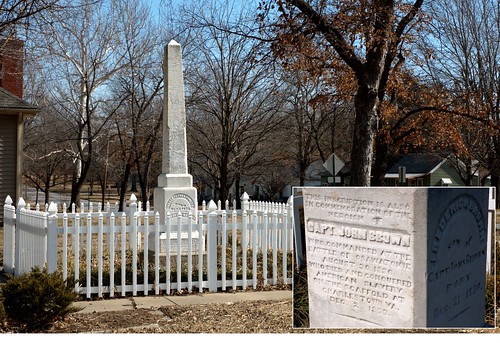
history monument memorial monumento civilwar kansas johnbrown soldiersmonument osawatomie conmemorativo kansashistory bleedingkansas battleofosawatomie frontierhistory historiaamericana
The Soldiers Monument - Osawatomie, Kansas
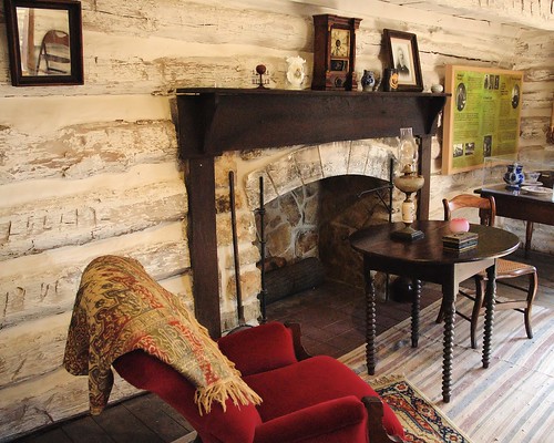
fireplace kansas johnbrown osawatomie bleedingkansas adaircabin johnbrownscabin historiaamericana interiordecaseta
Adair Cabin in John Brown Park - Osawatomie, Kansas
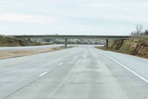
usa unitedstates views kansas louisburg us69 miamicountyks
On US 69 in Miami County, new southbound lanes have been built with concrete, and the northbound lanes have been rebuilt to match. Note the difference in sides of the cut -- this bridge was initially built to cross 4 lanes, but they only cut for the bridg
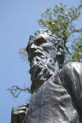
history statue kansas adair undergroundrailroad johnbrown osawatomie bleedingkansas
John Brown Statue, Osawatomie
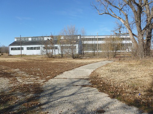
mp
MP Osawatomie KS
sunset kansas nex nex6
Kansas Sunset
square squareformat iphoneography instagramapp xproii uploaded:by=instagram foursquare:venue=4bc91e60511f9521f03eadc7
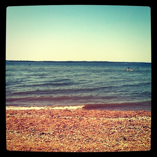
It's a rough life, sometimes.
square squareformat brannan iphoneography instagramapp uploaded:by=instagram foursquare:venue=4bc91e60511f9521f03eadc7
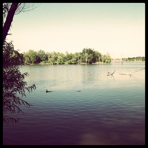
My REAL new home.
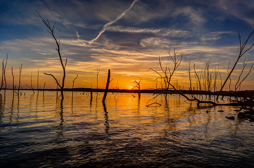
trees sunset sky lake water clouds landscape dusk kansas hillsdalelake hillsdalereservoir winter2016
Hillsdale Sunset
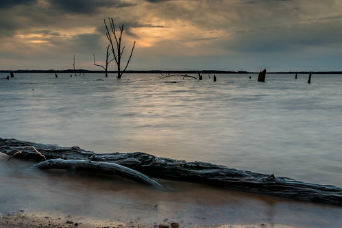
trees winter sunset lake clouds landscape dusk reservoir kansas hillsdale treestumps deadtrees 2016 usarmycorpsofengineers miamicounty hillsdalelake hillsdalereservoir
Moody Lake
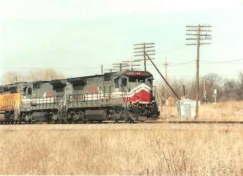
LMX 8529
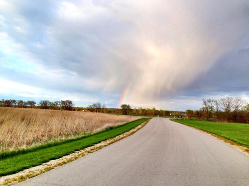
rainbow
pot of gold, Hillsdale State Park, Kansas #rainbow
2012-10-14 16.45.41
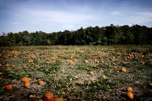
sky mill field clouds farm cider louisburgkansas pumpkinspatch
Louisburg Field01
Will and Priya's Big Day
winter sky blackandwhite monochrome grass clouds shadows horizon wires abandonedhouse infrared weathered baretrees antenna boardedupwindows fadedpaint exposedwood cloudsstormssunsetssunrises
House in Late Afternoon Sun
2012-10-14 16.45.57
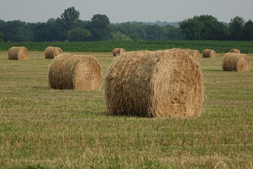
Hay Bales
sky fall mill field clouds farm pumpkins cider kansas patch louisburg
Pumpkin Patch
2009-02-10
Will and Priya's Big Day
mp
MP Osawatomie KS
Will and Priya's Big Day
square squareformat iphoneography instagramapp uploaded:by=instagram
Nearly Spring