Elevation of Paola, KS, USA
Location: United States > Kansas > Miami County >
Longitude: -94.852063
Latitude: 38.5945886
Elevation: 284m / 932feet
Barometric Pressure: 98KPa
Elevation Map:
Satellite Map:
Related Photos:
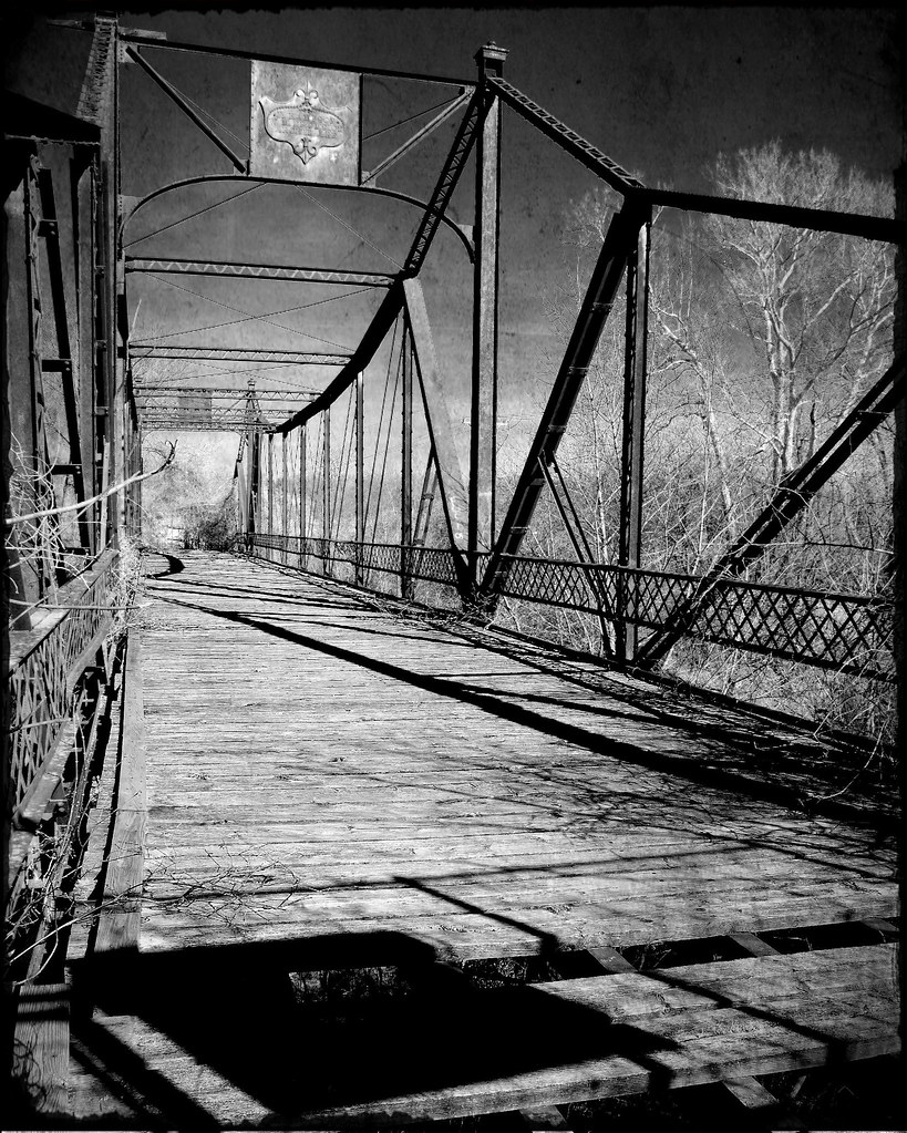
Asylum Bridge - Osawatomie, Kansas

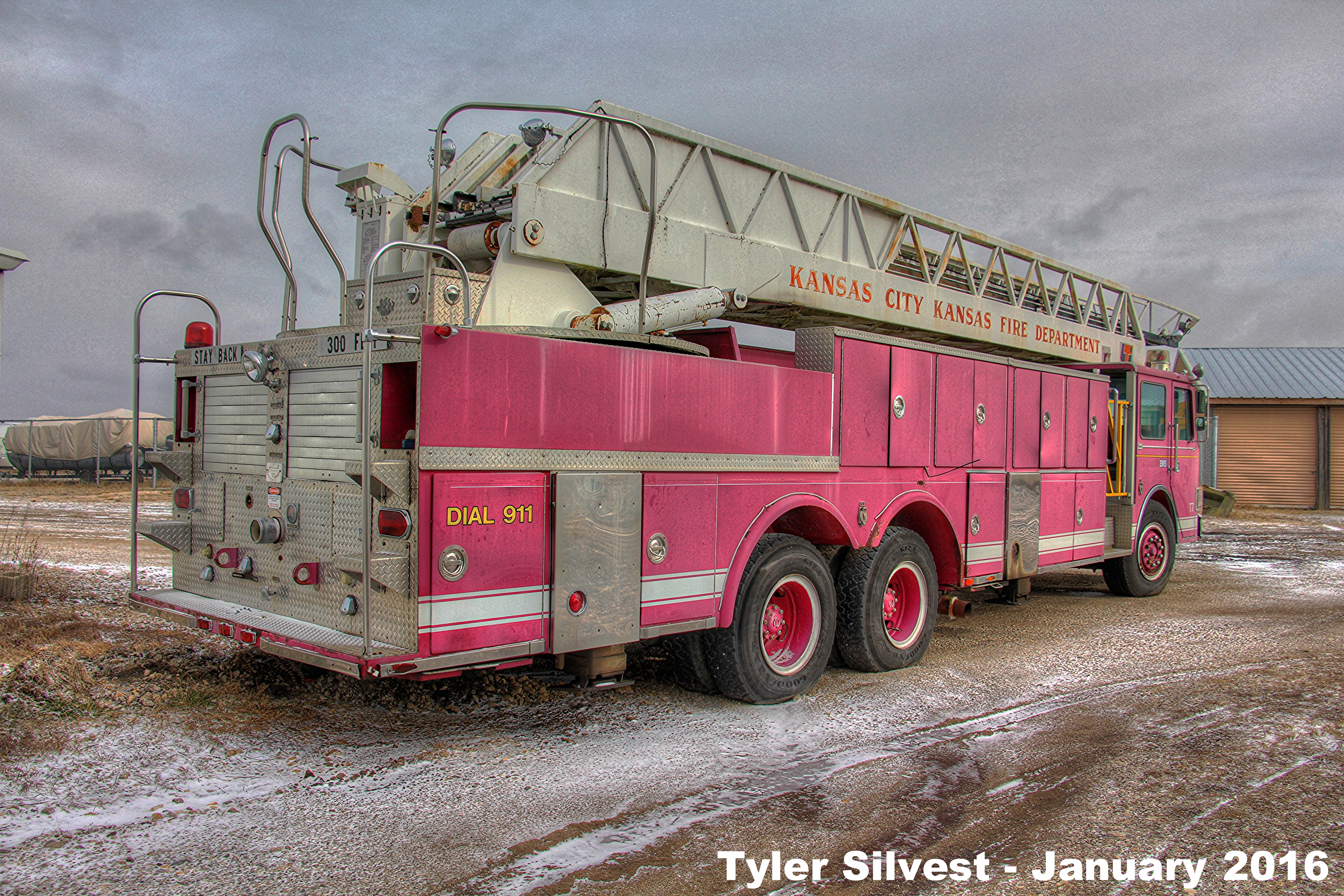
EX - Truck 7 Rear View HDR

Convent Cemetery
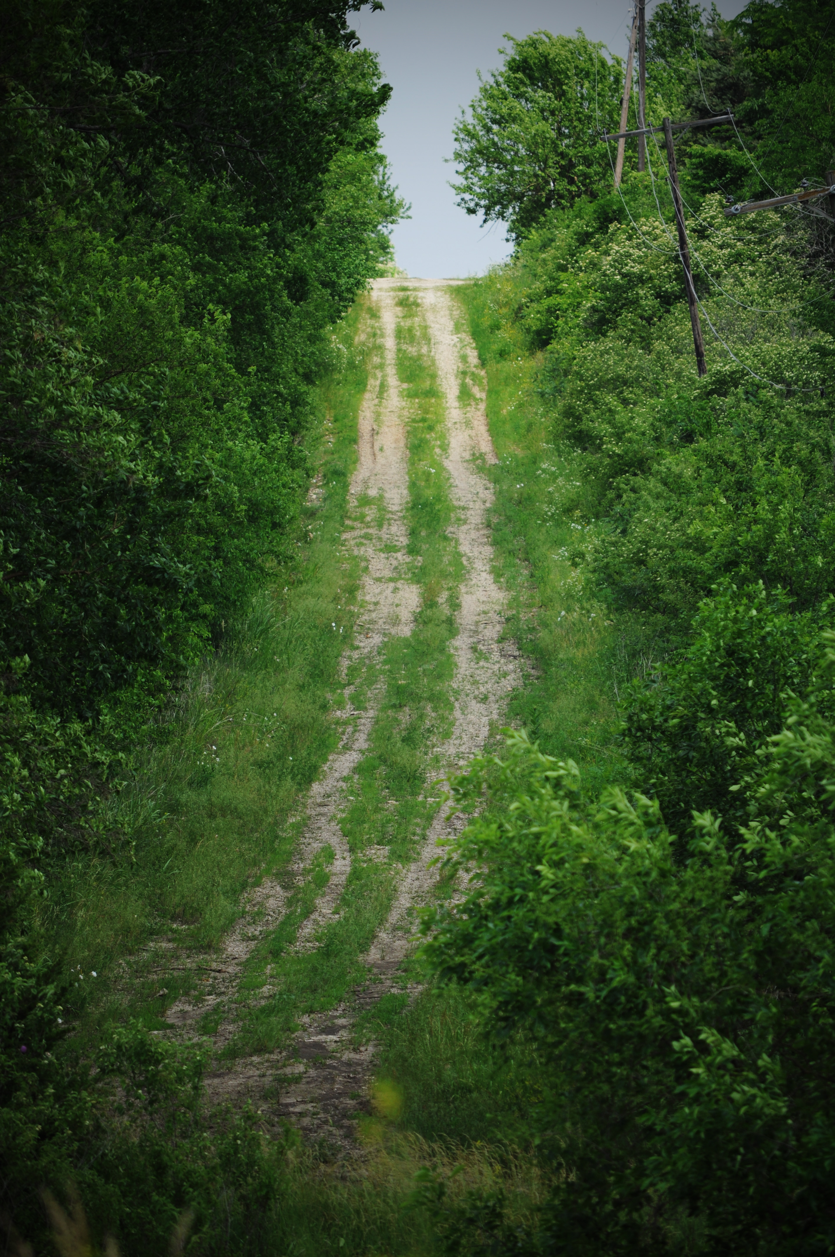
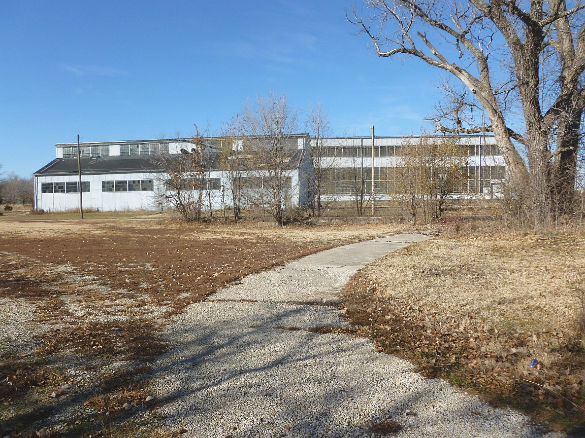
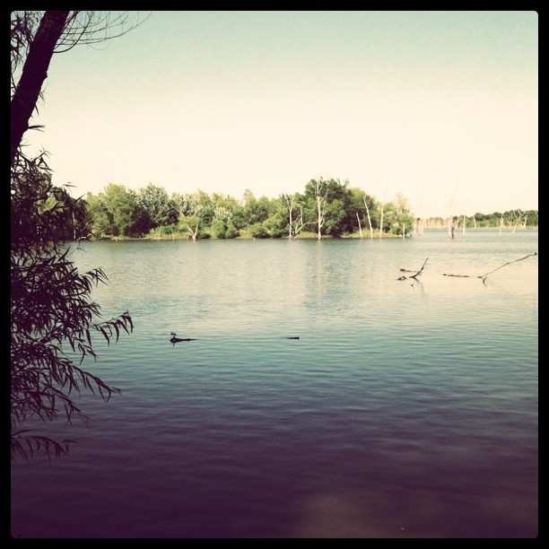
Old Path
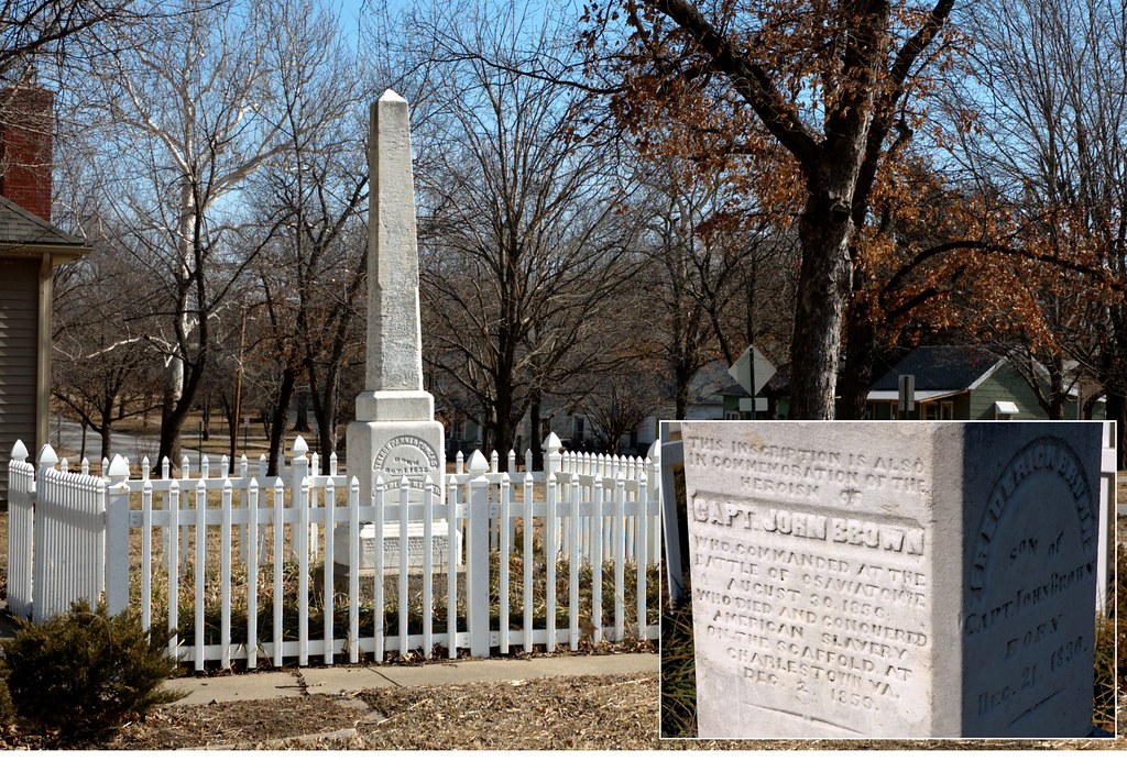
The Soldiers Monument - Osawatomie, Kansas
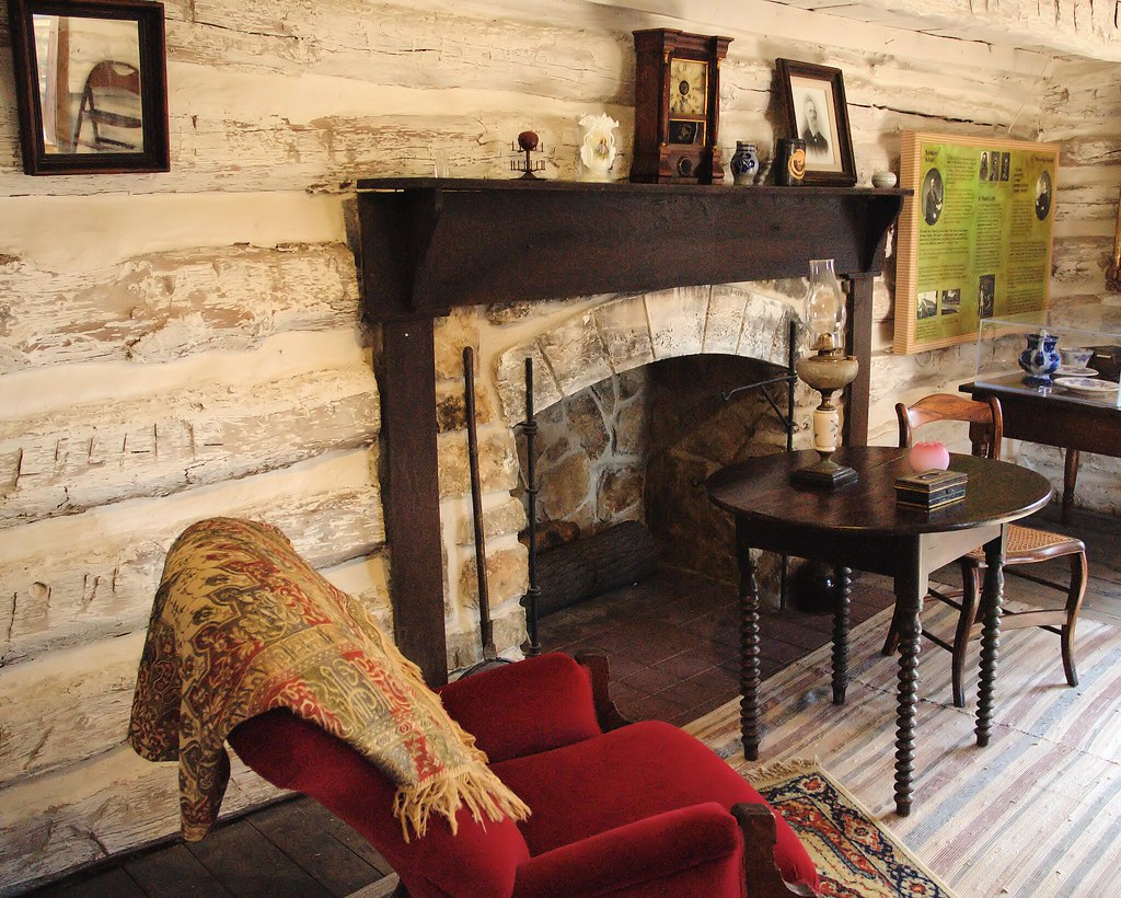
Adair Cabin in John Brown Park - Osawatomie, Kansas
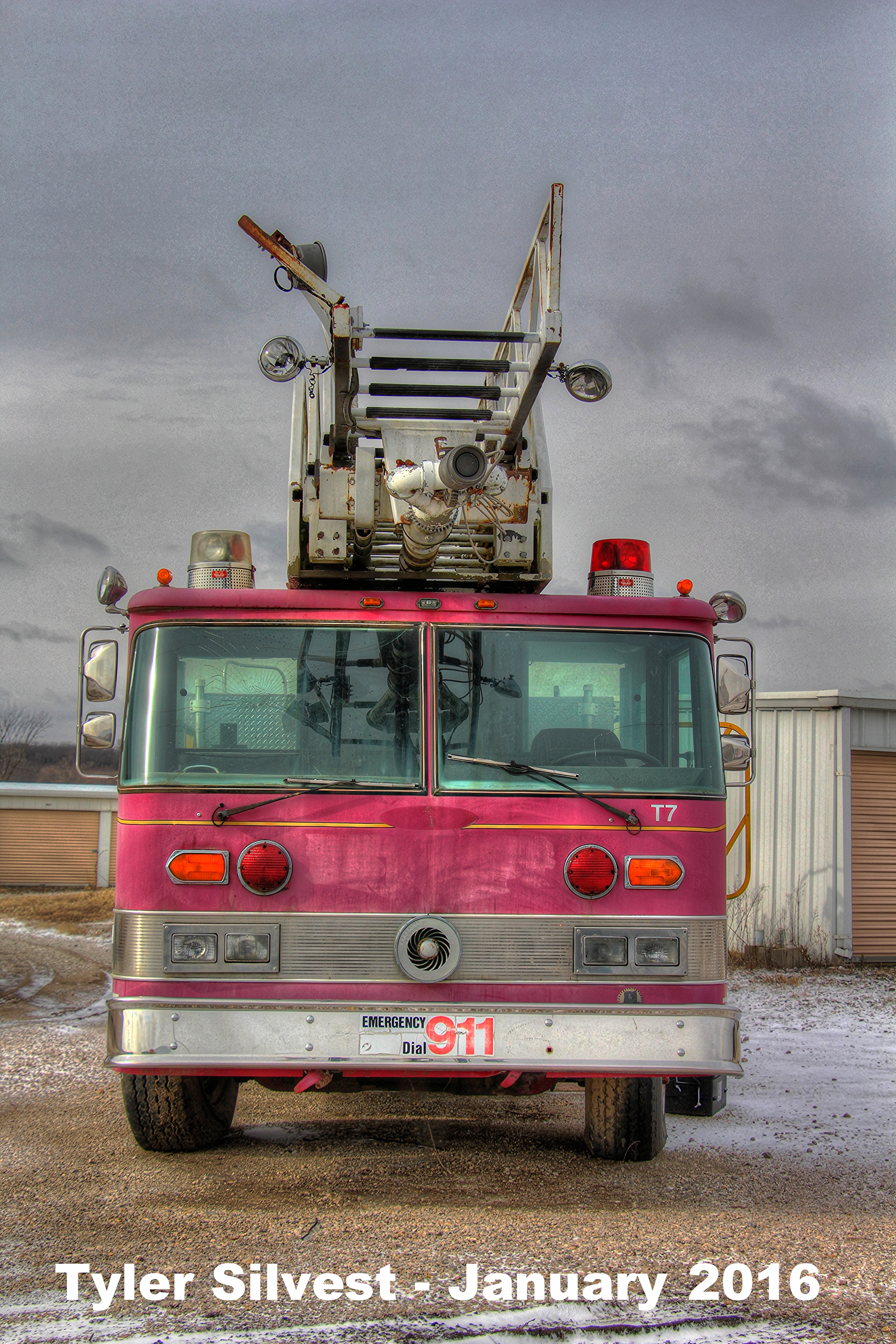
1/4 EX - Truck 7 Rear View
3/4 EX - Truck 7 Front View
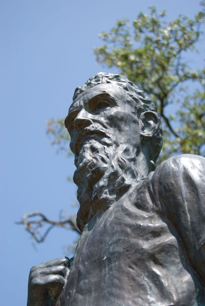
John Brown Statue, Osawatomie
MP Osawatomie KS
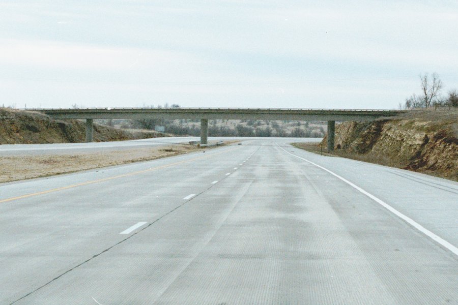
On US 69 in Miami County, new southbound lanes have been built with concrete, and the northbound lanes have been rebuilt to match. Note the difference in sides of the cut -- this bridge was initially built to cross 4 lanes, but they only cut for the bridg

Kansas Sunset
Too cold
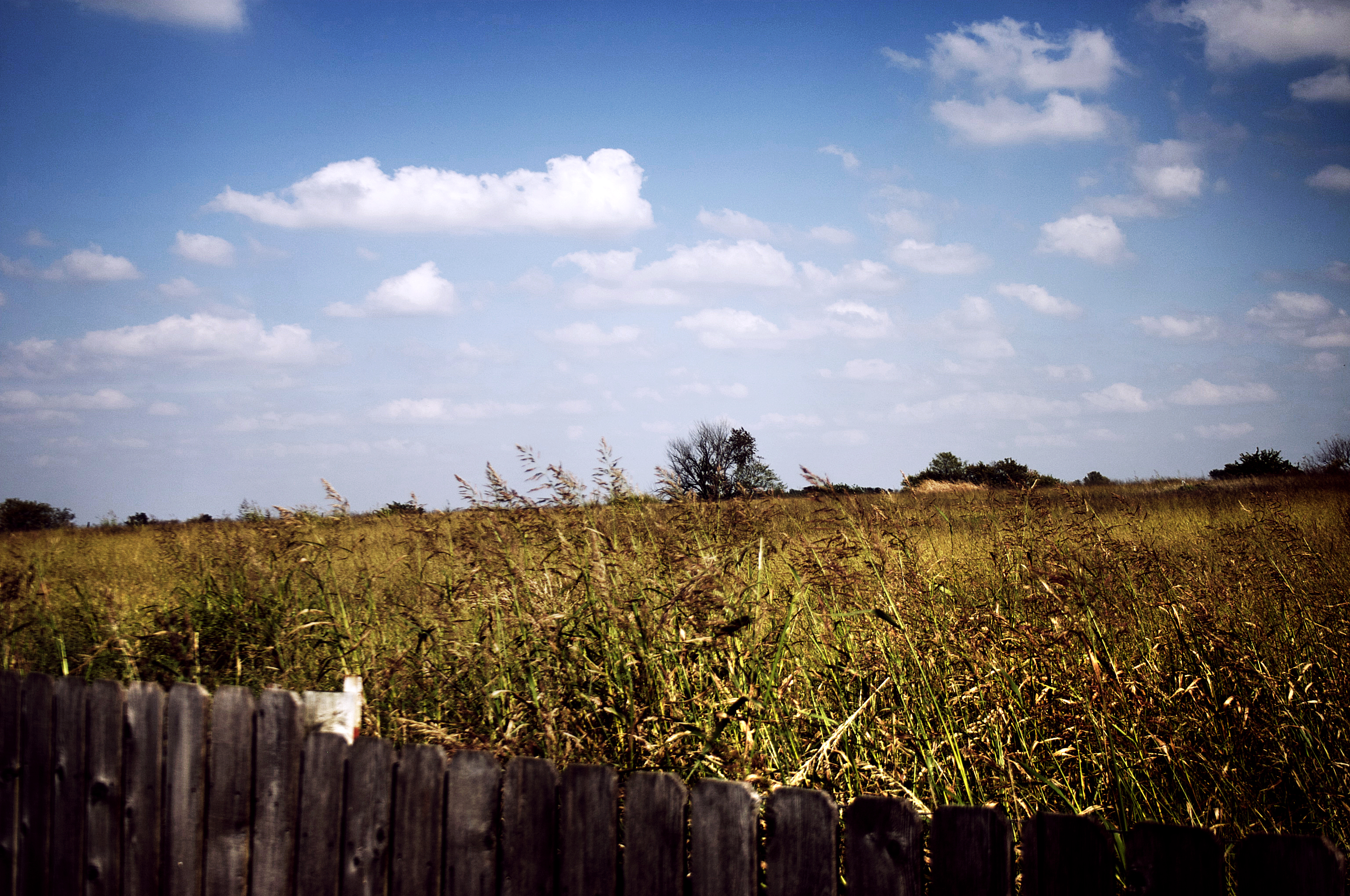
Kansas road trip
Kansas road trip
My REAL new home.

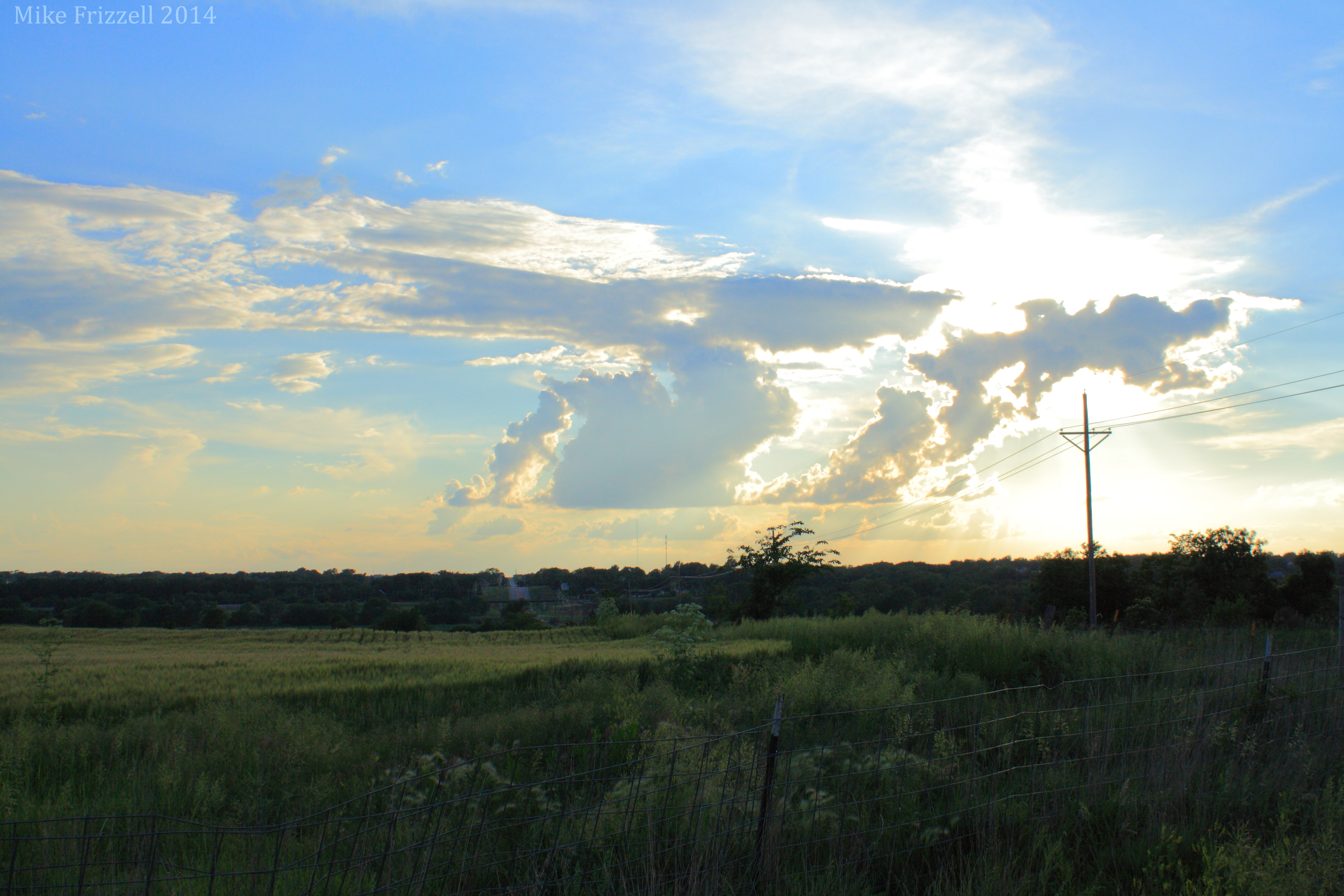
Hillsdale Sunset
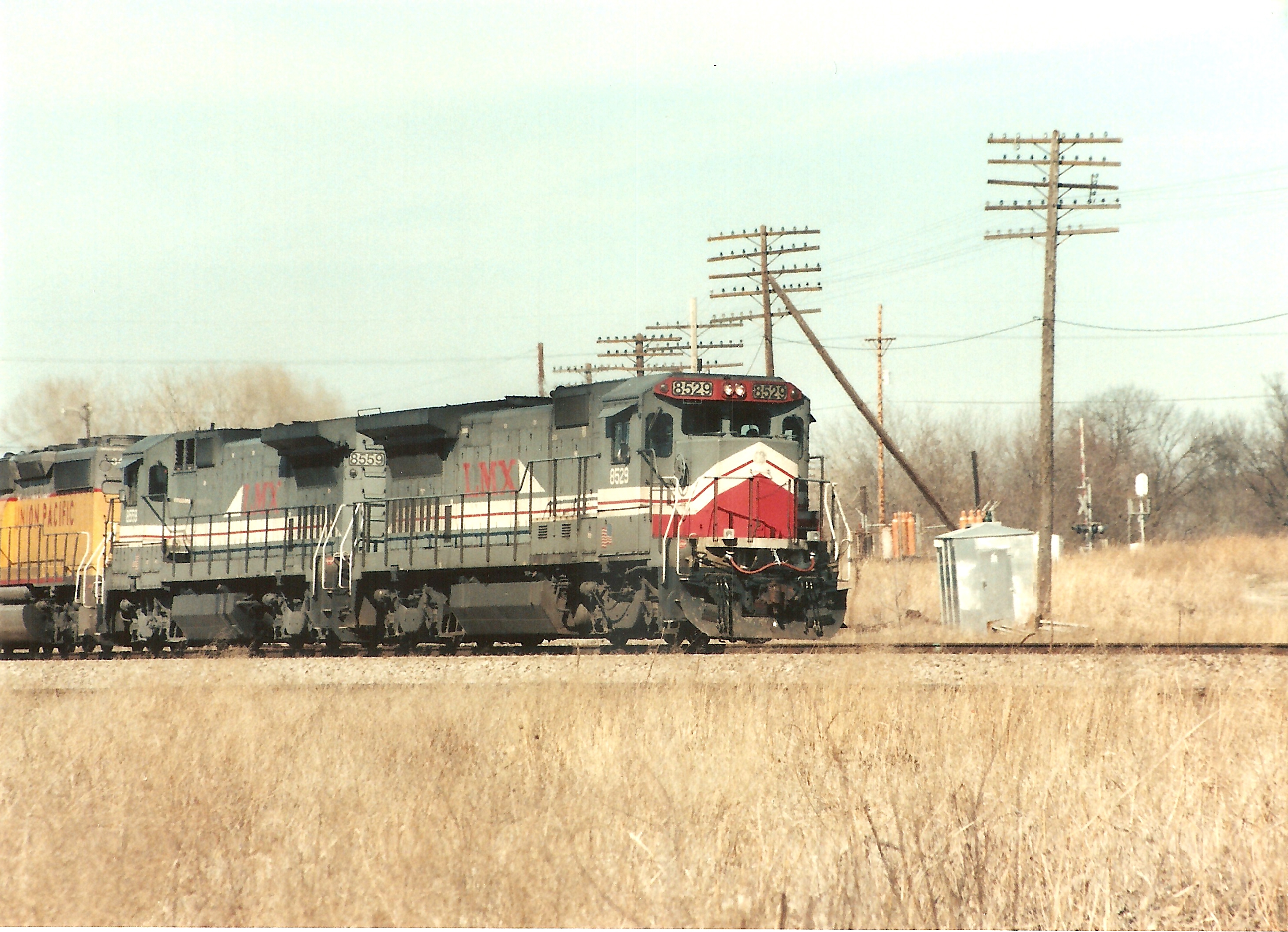
LMX 8529
Storm clouds
IMG_6871 copy

2012-10-14 16.45.41
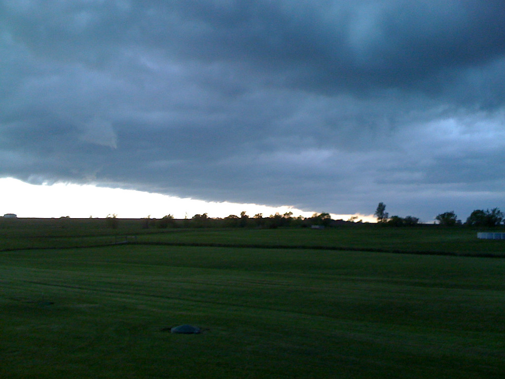
Storm blowing in

Powell Pumpkin Patch, 17 Oct 2013
Powell Pumpkin Patch, 17 Oct 2013
Wouldn't mind being in South Carolina right now...
IMG_6869 copy
Louisburg Field01

Will and Priya's Big Day
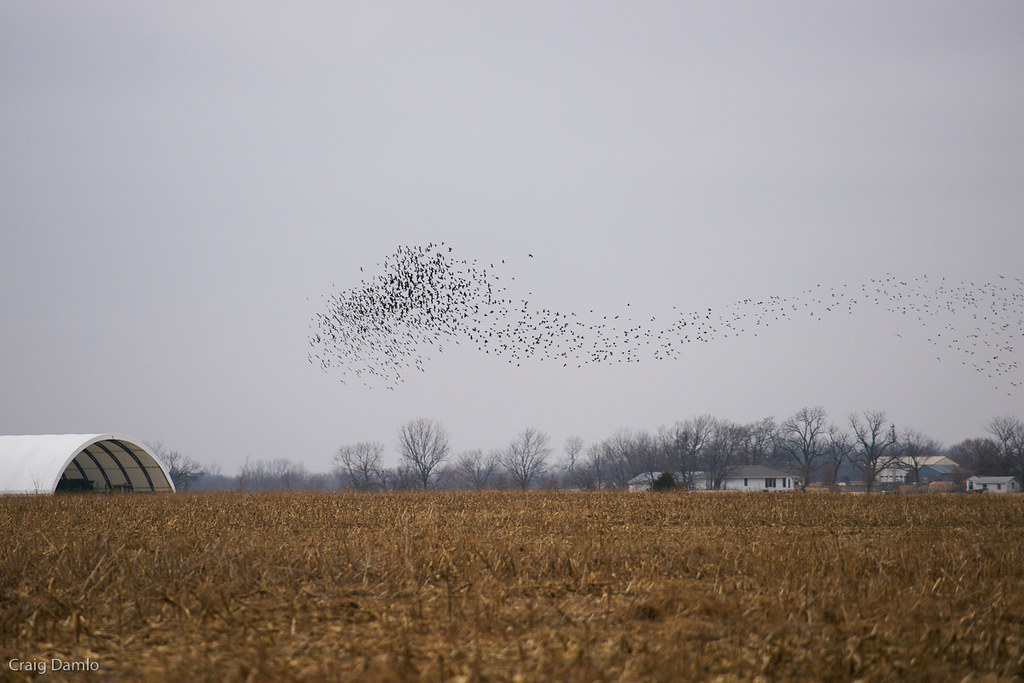
Flock Streaming

DSC_0797.jpg

House in Late Afternoon Sun

2012-10-14 16.45.57
Topographic Map of Paola, KS, USA
Find elevation by address:

Places near Paola, KS, USA:
102 S Hospital Dr
Paola
408 W Wea St
31297 Santa Fe Rd
Miami County
20100 W 335th St
Lone Star Rd, Paola, KS, USA
Wagstaff
45690 Staff Dr
100 Main St
32380 Crescent Hill Rd #6606r
526 Main St
Osawatomie
1158 5th St
32211 Bethel Church Rd
1040 W Pacific Ave
1139 Main St
Stanton
504 12th St
Ten Mile
Recent Searches:
- Elevation of Corso Fratelli Cairoli, 35, Macerata MC, Italy
- Elevation of Tallevast Rd, Sarasota, FL, USA
- Elevation of 4th St E, Sonoma, CA, USA
- Elevation of Black Hollow Rd, Pennsdale, PA, USA
- Elevation of Oakland Ave, Williamsport, PA, USA
- Elevation of Pedrógão Grande, Portugal
- Elevation of Klee Dr, Martinsburg, WV, USA
- Elevation of Via Roma, Pieranica CR, Italy
- Elevation of Tavkvetili Mountain, Georgia
- Elevation of Hartfords Bluff Cir, Mt Pleasant, SC, USA