Elevation of Paneri, Maharashtra, India
Location: India > Maharashtra > Satara >
Longitude: 73.8330844
Latitude: 17.2433113
Elevation: 944m / 3097feet
Barometric Pressure: 90KPa
Elevation Map:
Satellite Map:
Related Photos:

Pune-Ratnagiri

Ganpatipule-Swargate

Ratnagiri-Pune
Patan-Kolhapur

Dapoli-Akkalkot

Dapoli-Akklakot 2

Dapoli-Akklakot

Mandangad-Kolhapur

Miraj-Dapoli
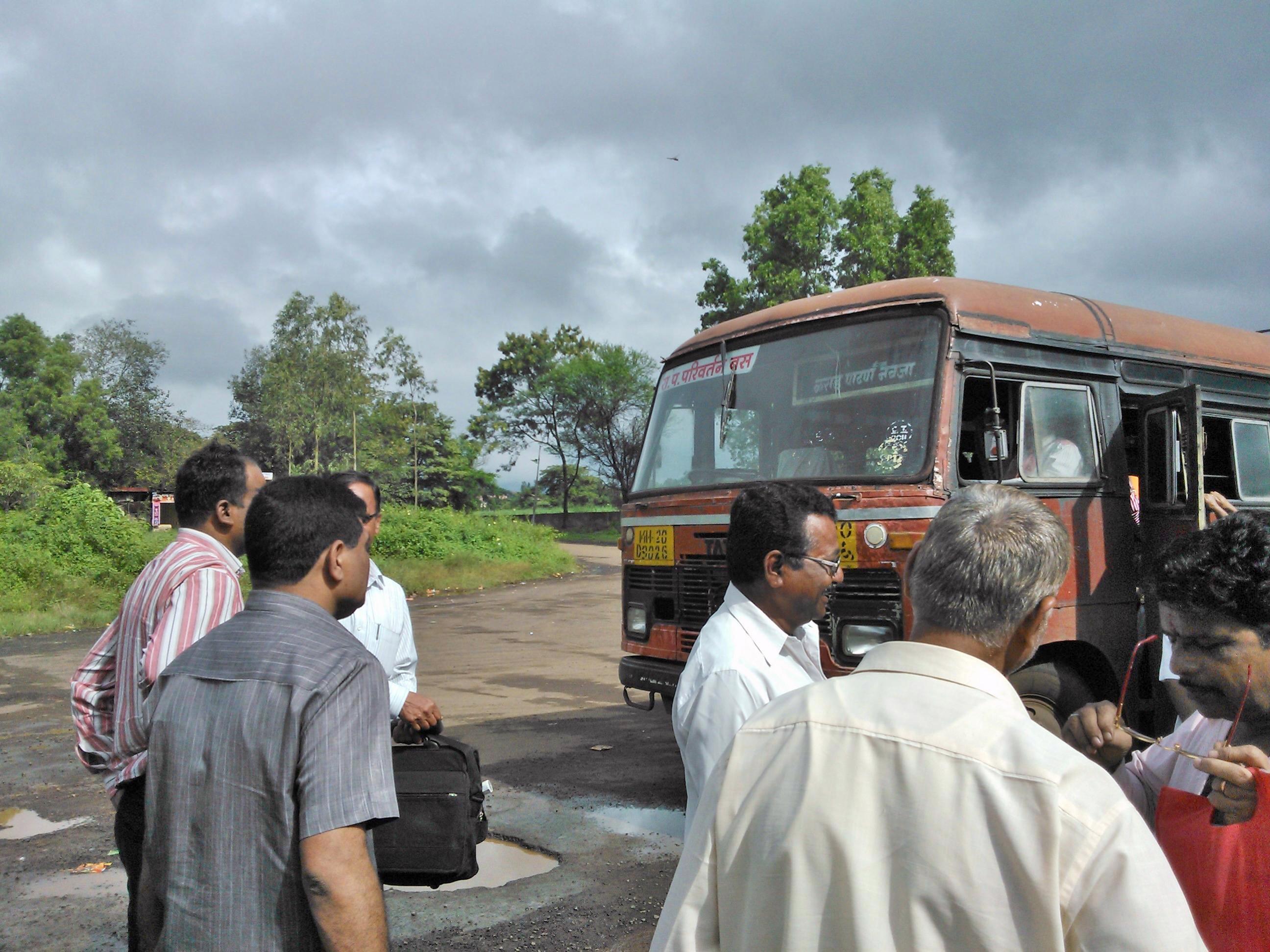
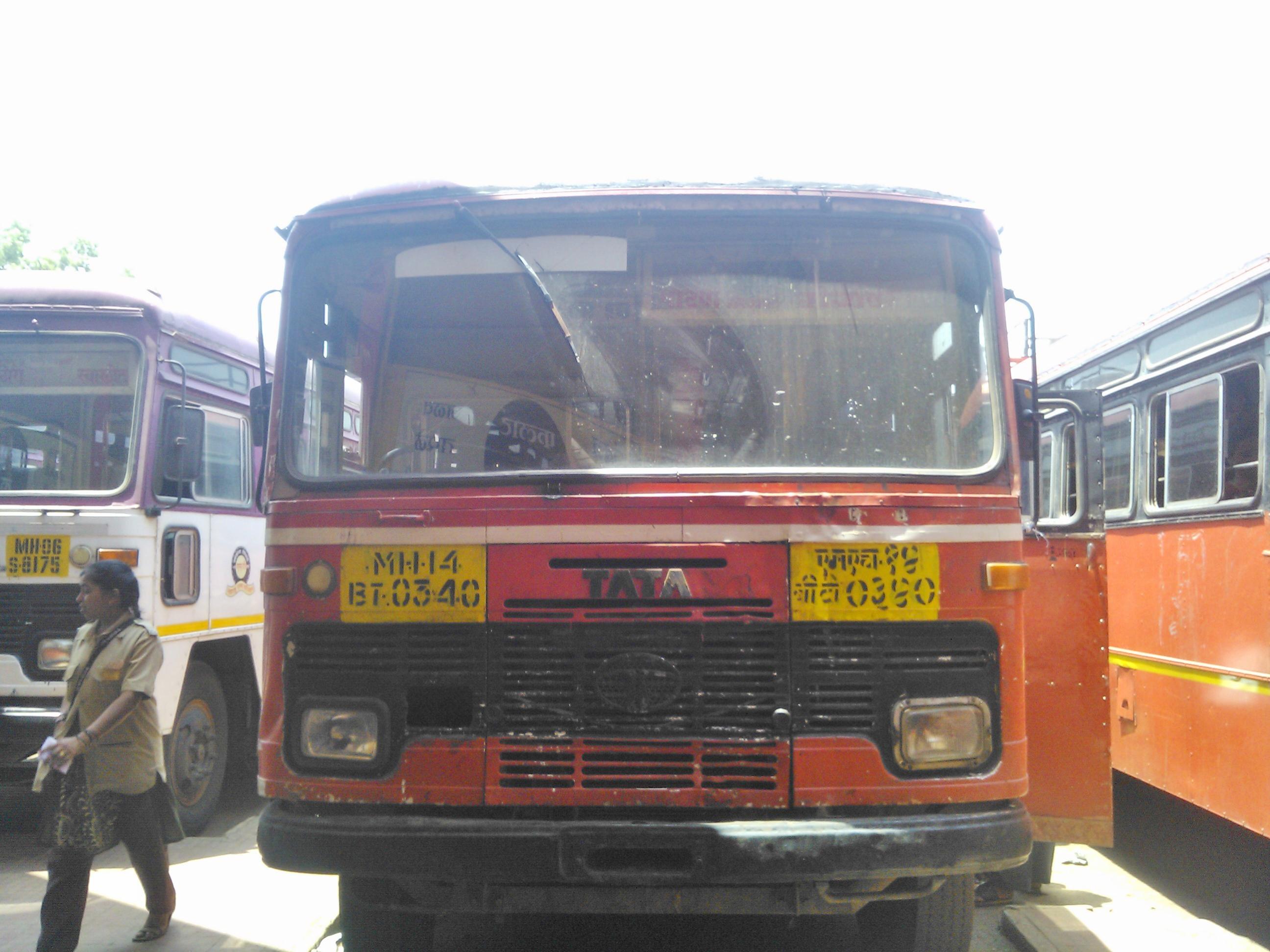
Karad-Patan-Navaja

Ratnagiri-Pune stn
Topographic Map of Paneri, Maharashtra, India
Find elevation by address:

Places near Paneri, Maharashtra, India:
Tamine
Udhavane
Dikshi
Salave
Varpewadi
Borgewadi
Dhavade
Ekavadewadi
Kokisare
Kolekarwadi
Mahind
Natoshi
Sanbur
Morgiri
Kalkewadi
Killemorgiri
Zakade
Pethshivapur
Kasrund
Banpuri
Recent Searches:
- Elevation of Corso Fratelli Cairoli, 35, Macerata MC, Italy
- Elevation of Tallevast Rd, Sarasota, FL, USA
- Elevation of 4th St E, Sonoma, CA, USA
- Elevation of Black Hollow Rd, Pennsdale, PA, USA
- Elevation of Oakland Ave, Williamsport, PA, USA
- Elevation of Pedrógão Grande, Portugal
- Elevation of Klee Dr, Martinsburg, WV, USA
- Elevation of Via Roma, Pieranica CR, Italy
- Elevation of Tavkvetili Mountain, Georgia
- Elevation of Hartfords Bluff Cir, Mt Pleasant, SC, USA