Elevation of Borgewadi, Maharashtra, India
Location: India > Maharashtra > Satara >
Longitude: 73.8872574
Latitude: 17.2742184
Elevation: 683m / 2241feet
Barometric Pressure: 93KPa
Elevation Map:
Satellite Map:
Related Photos:

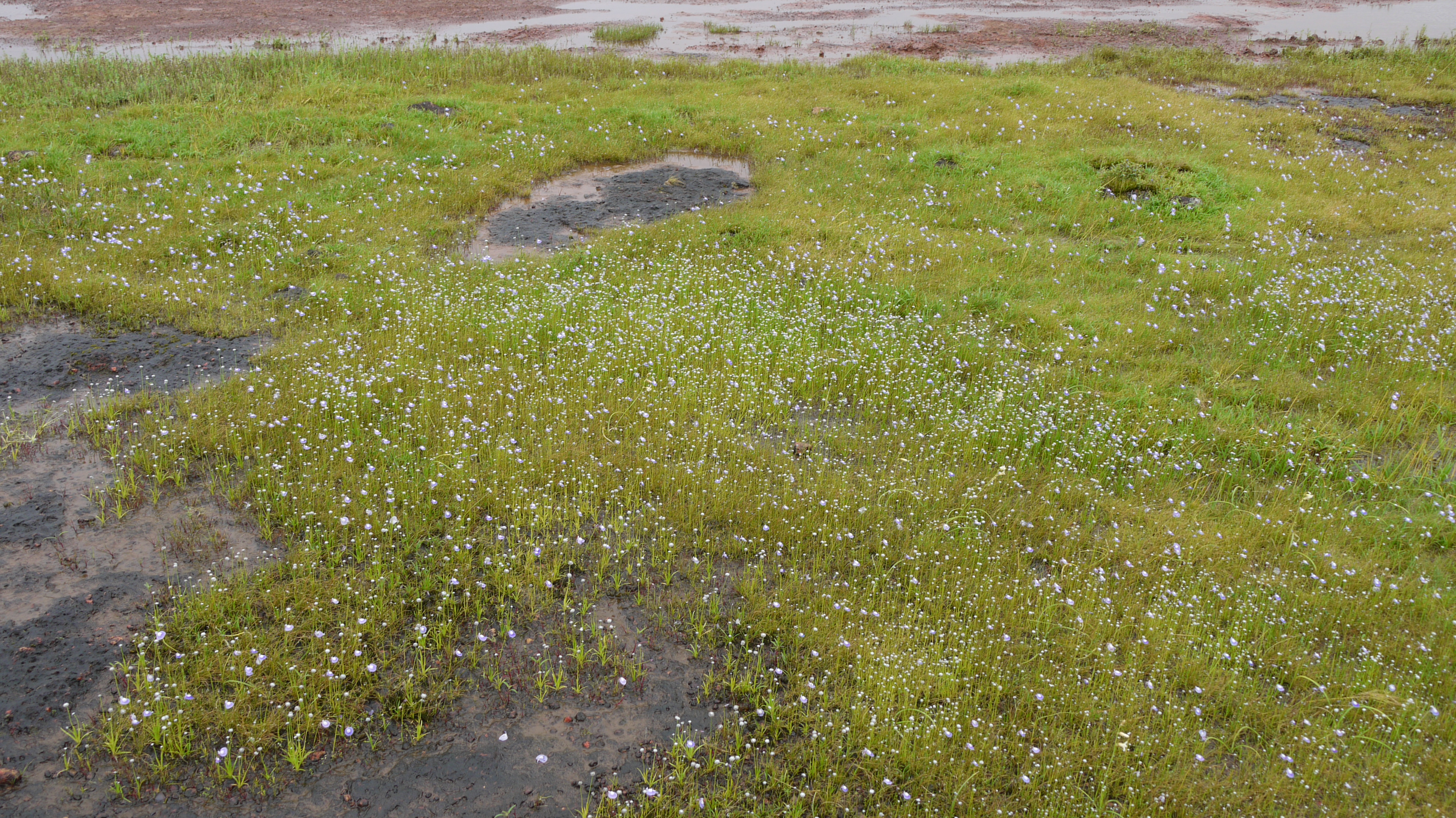
My first visit to Valley of flowers #kaas #Satara #Wai #flowers #blooms #Monsoonblooms #flora #september #nikon #d5100 #50mm #instatravel #itravelbug #natgeotravel #incredibleindia #streetography #maharashtra #india #indianshutterbugs #indianexpress
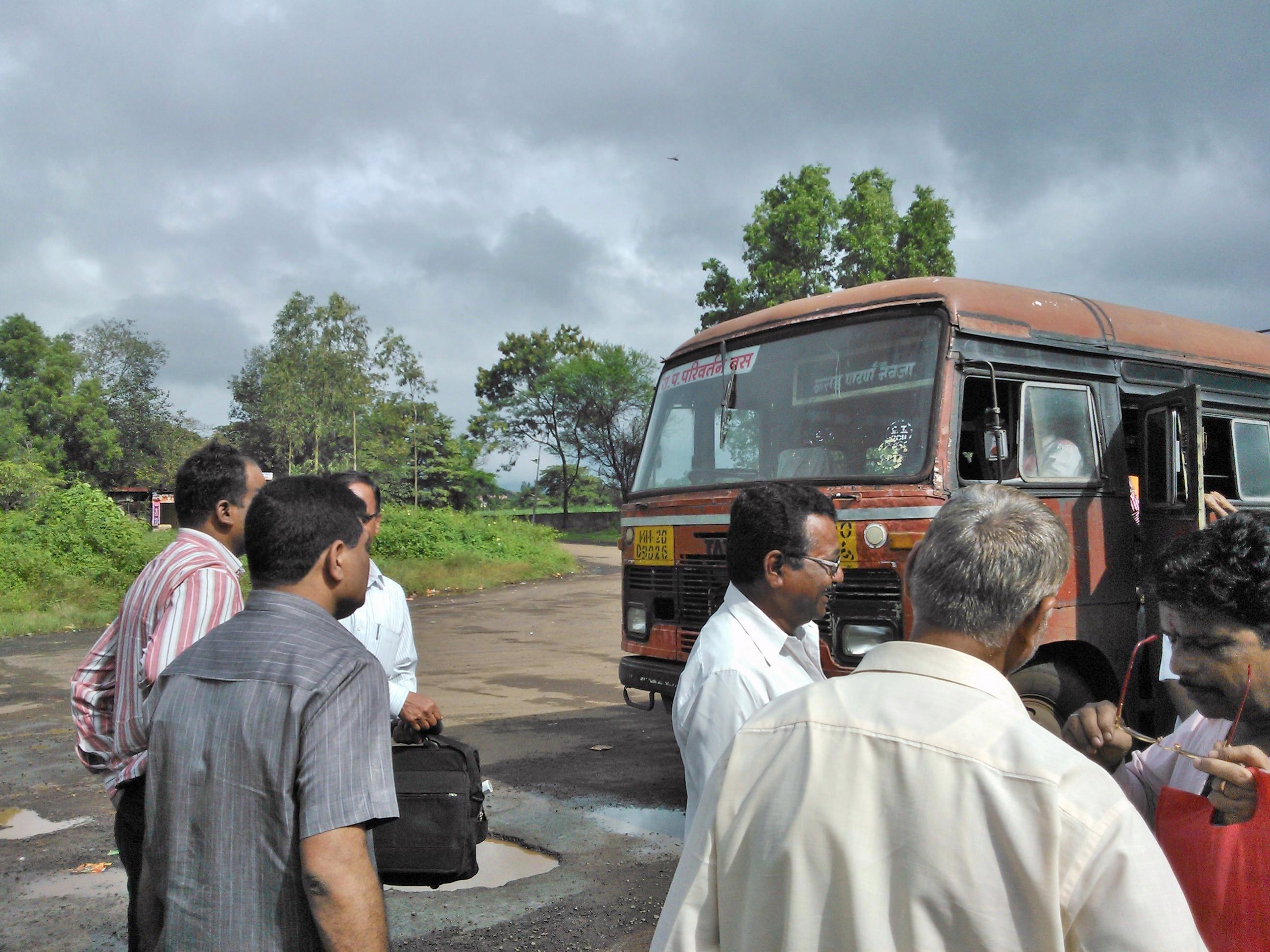
Karad-Patan-Navaja
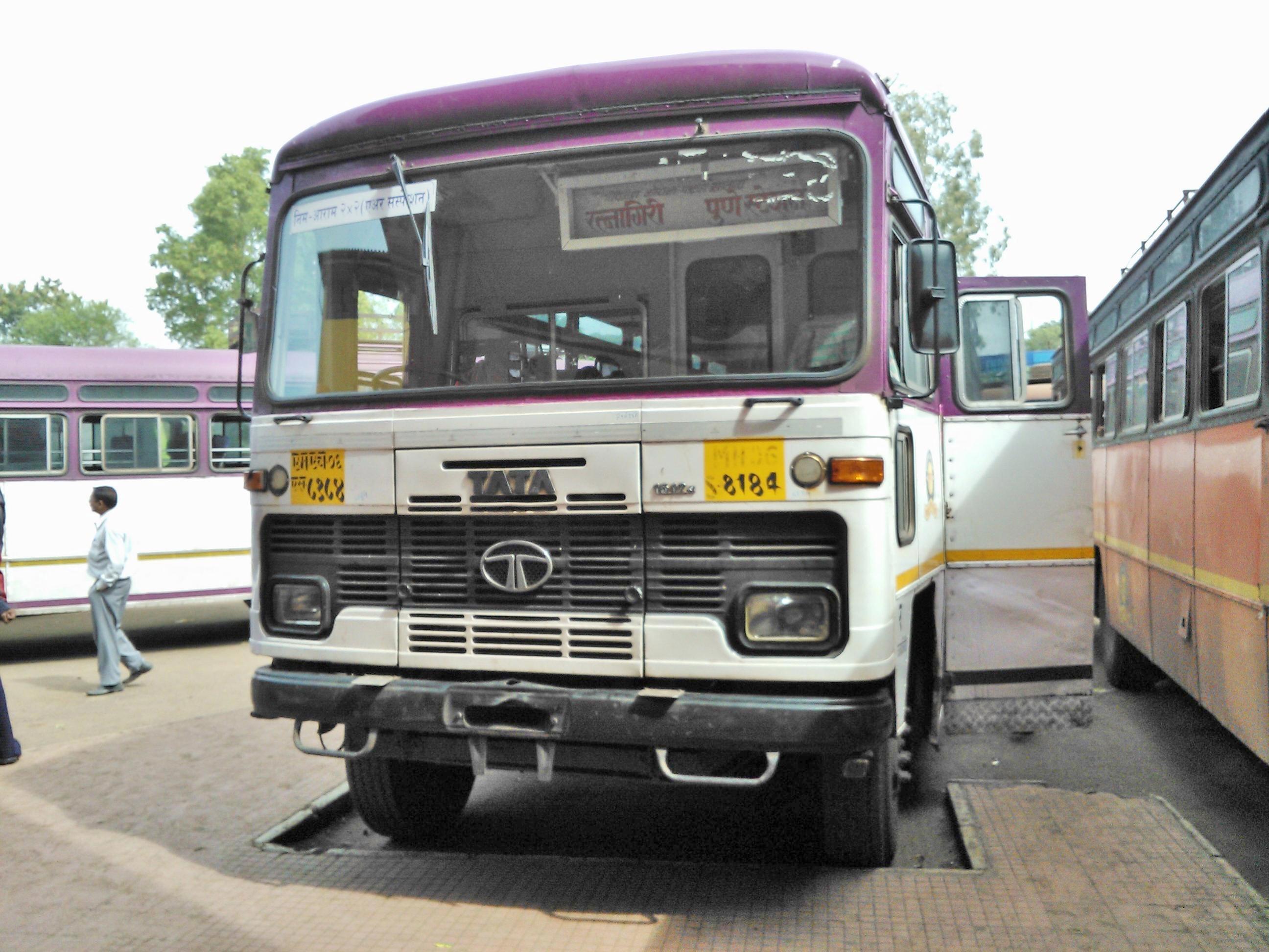
Ratnagiri-Pune stn
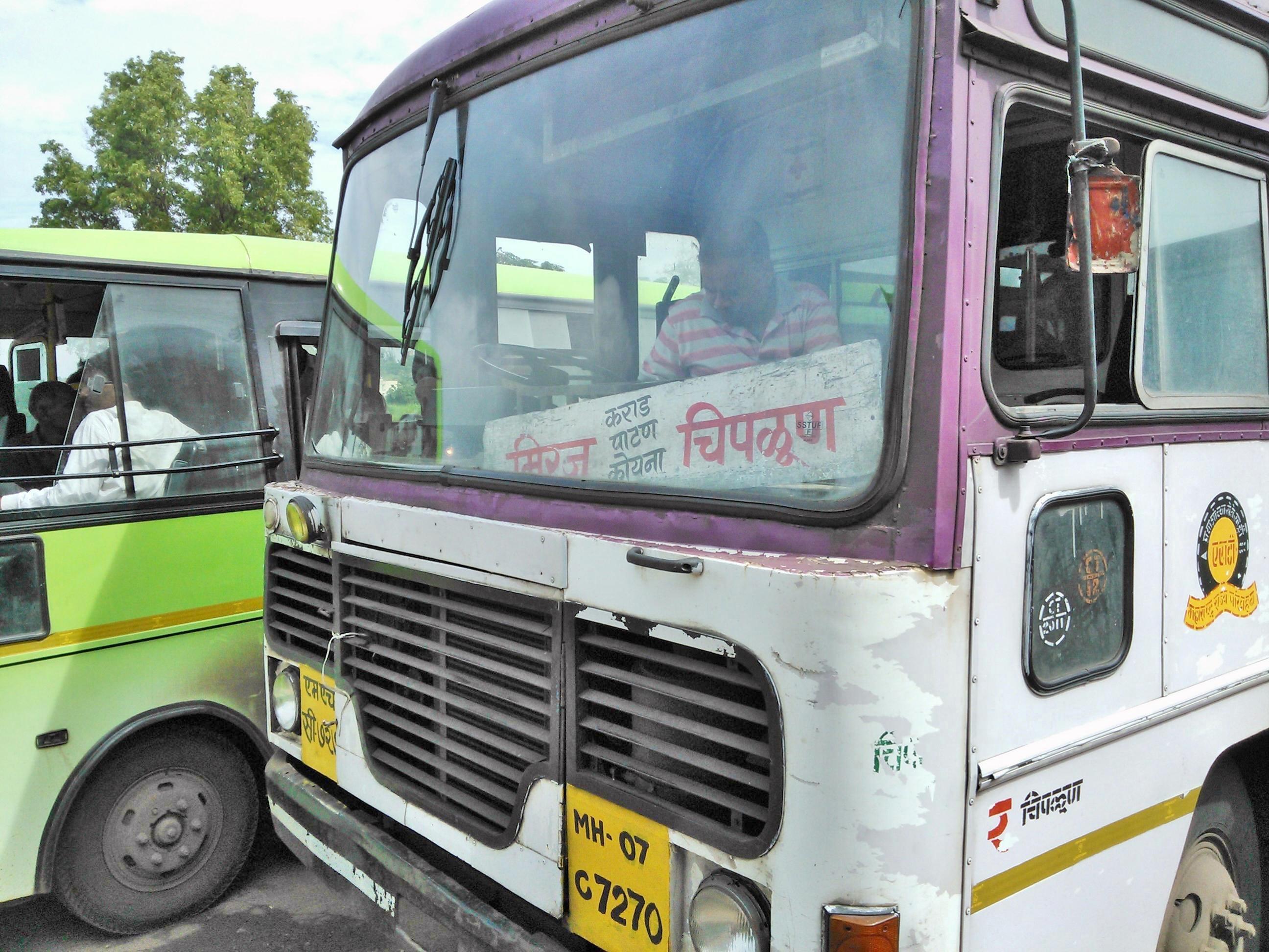
Miraj-Chiplun
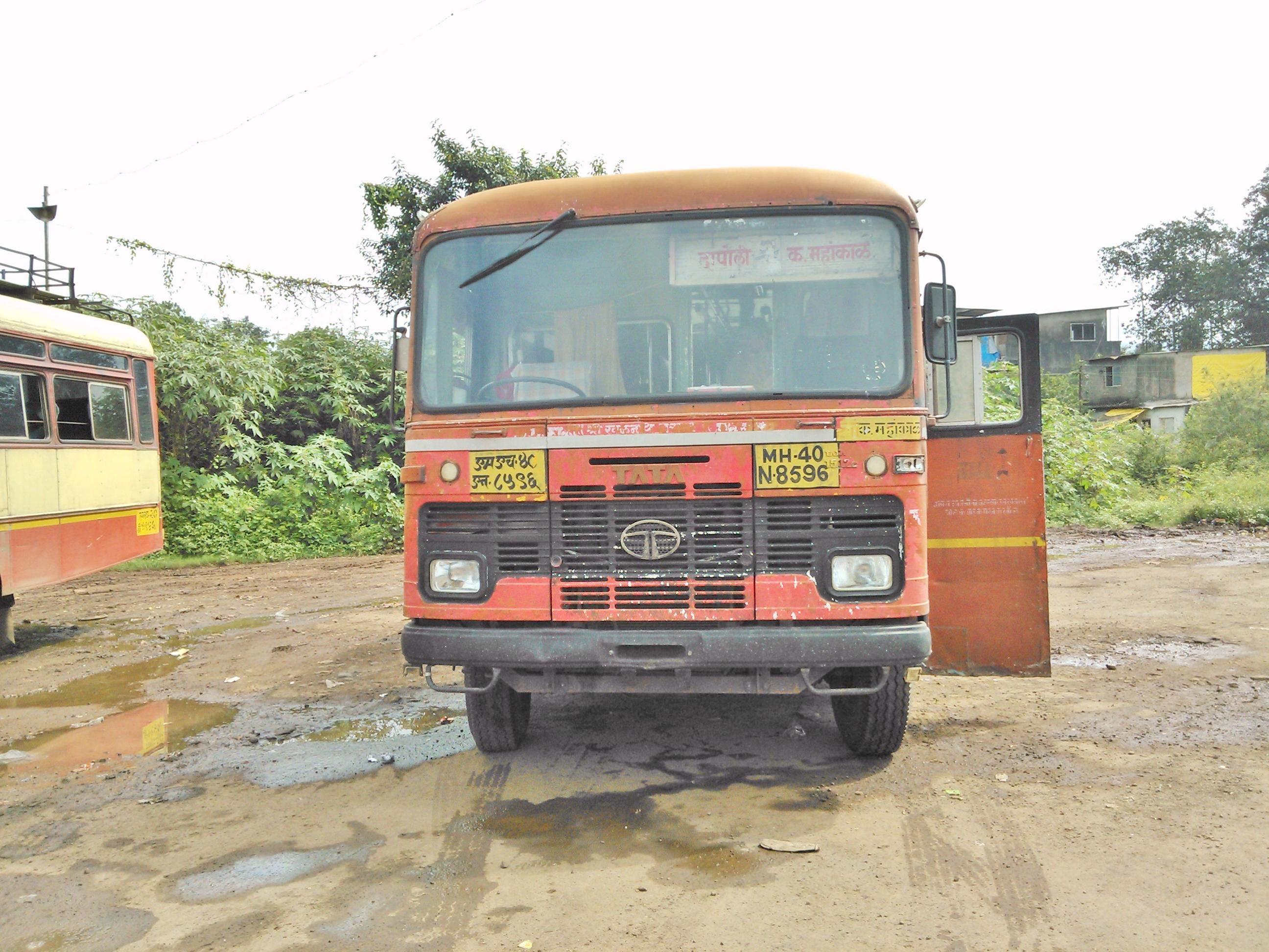
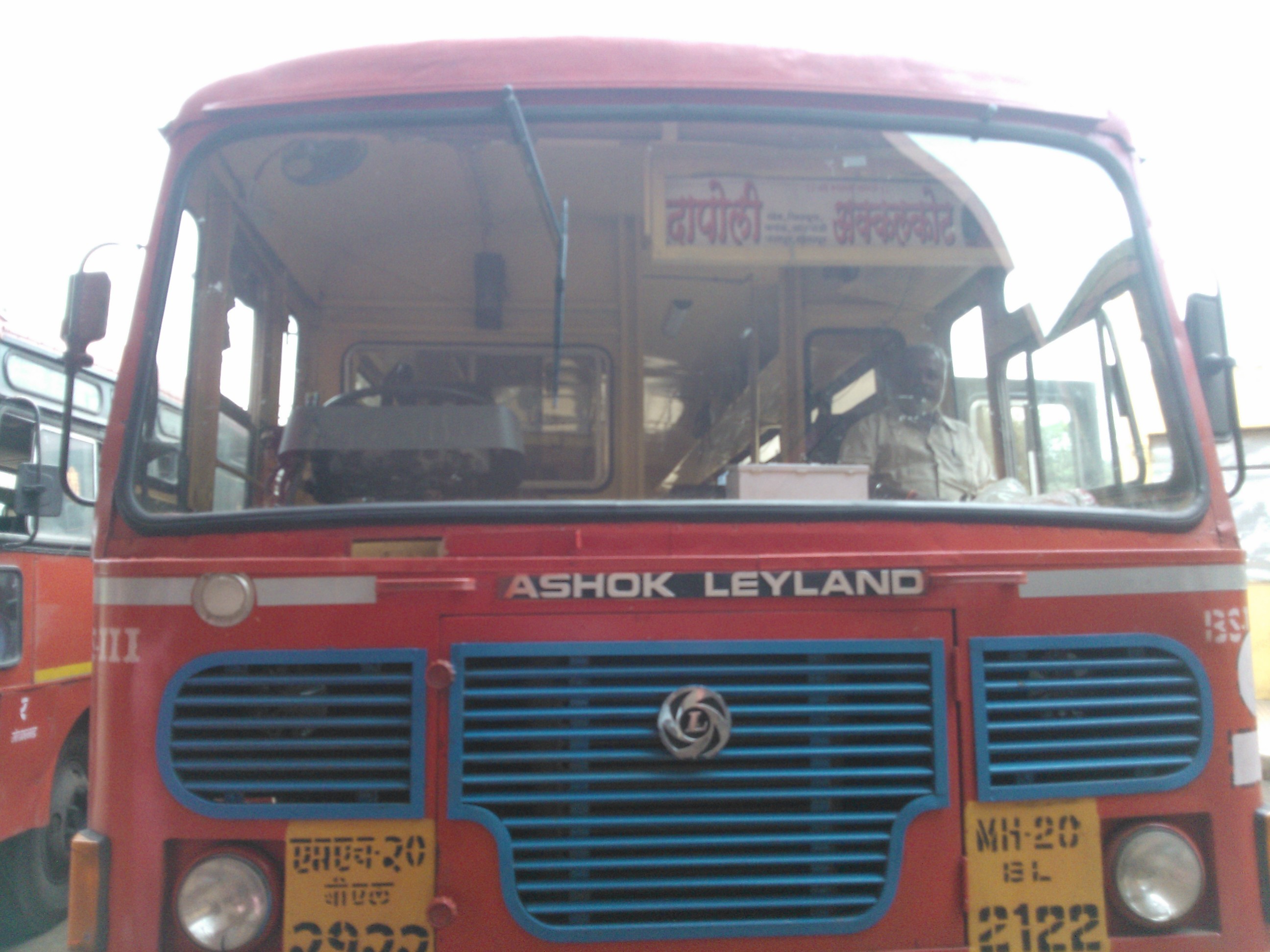
Dapoli-Kavthe Mahakal
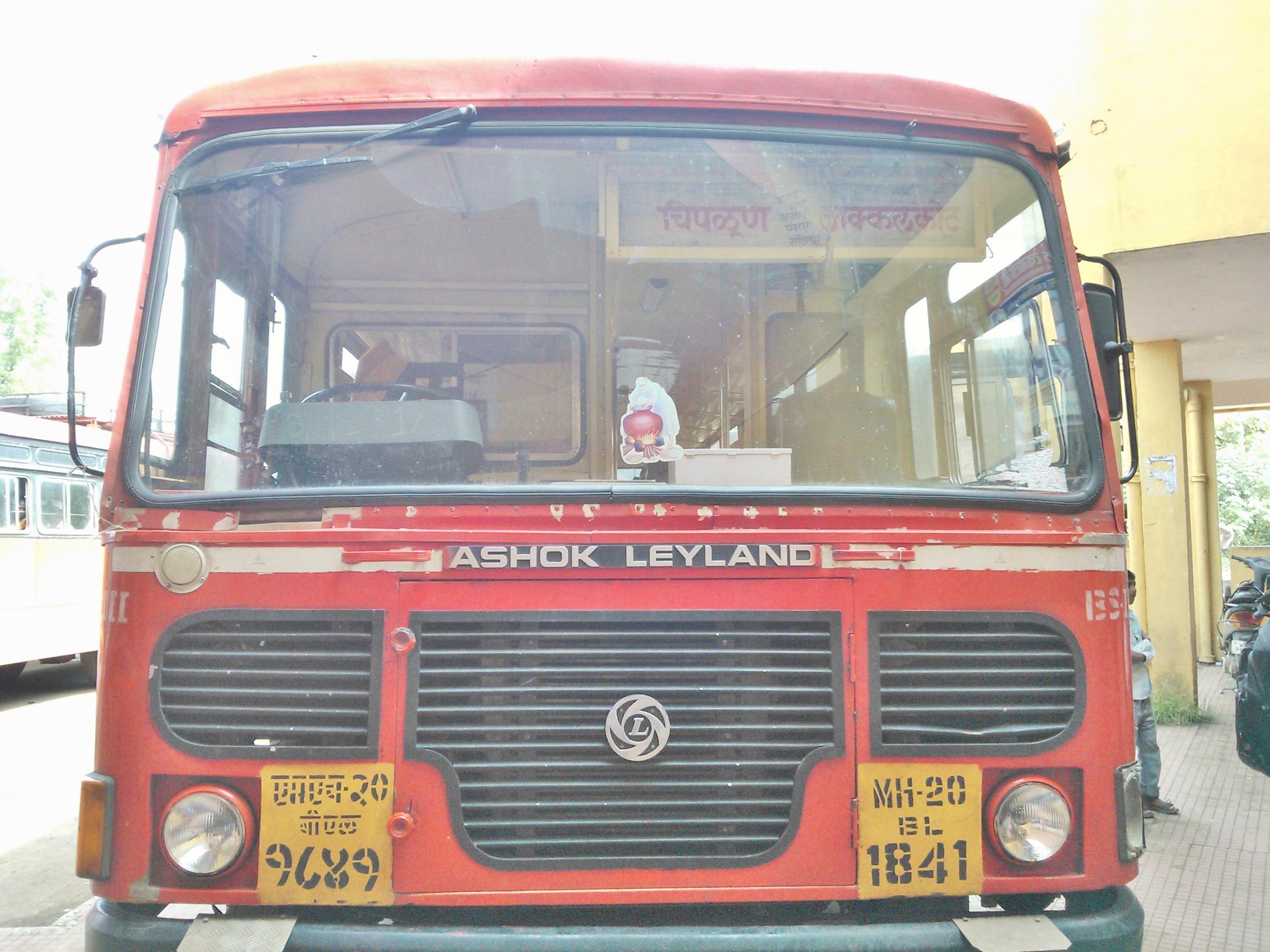
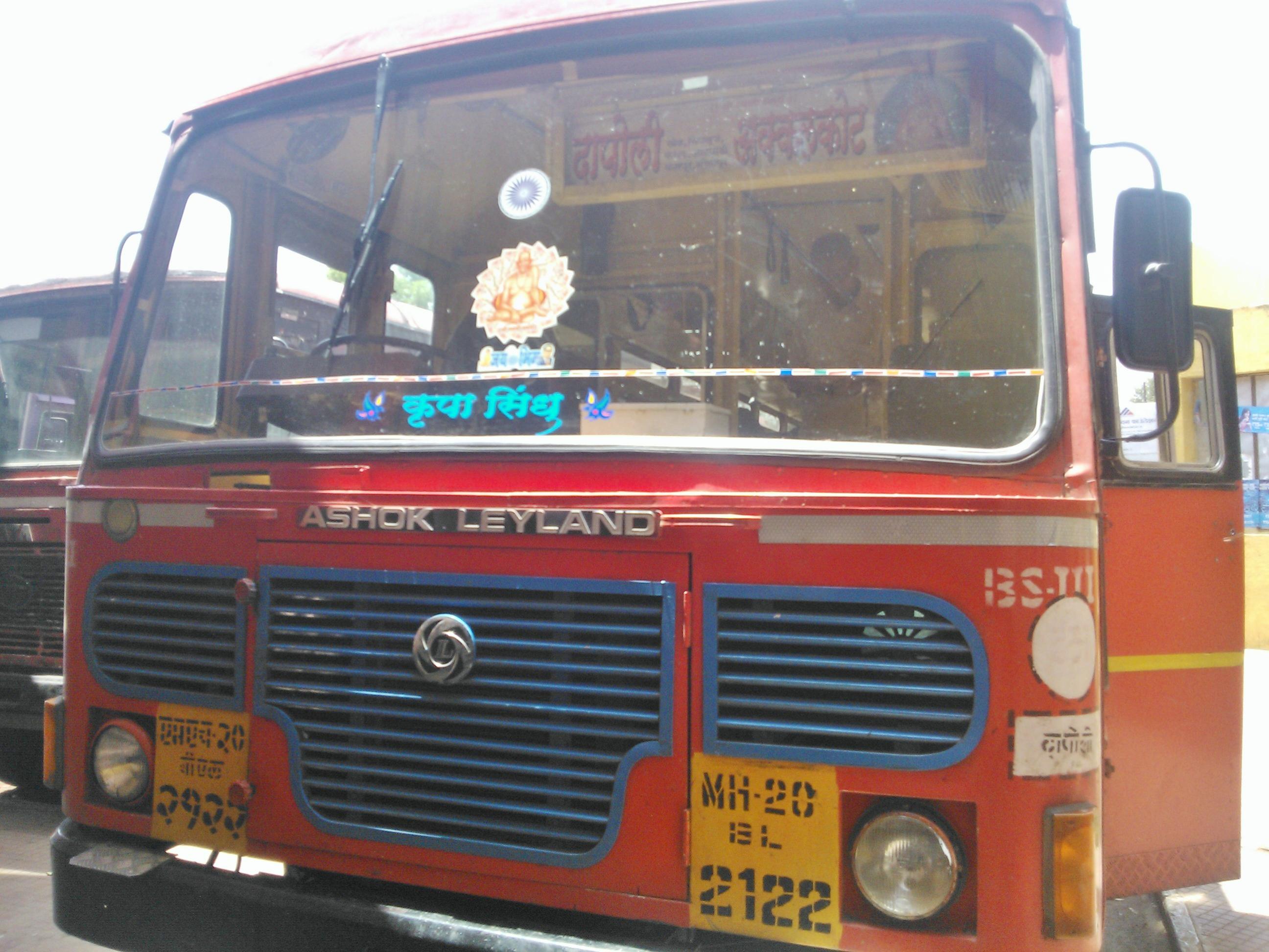
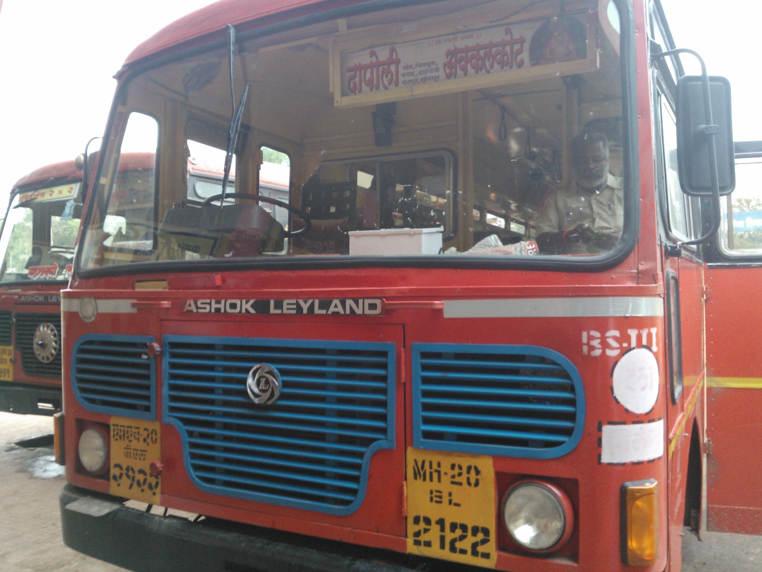
Chiplun-Akkalkot
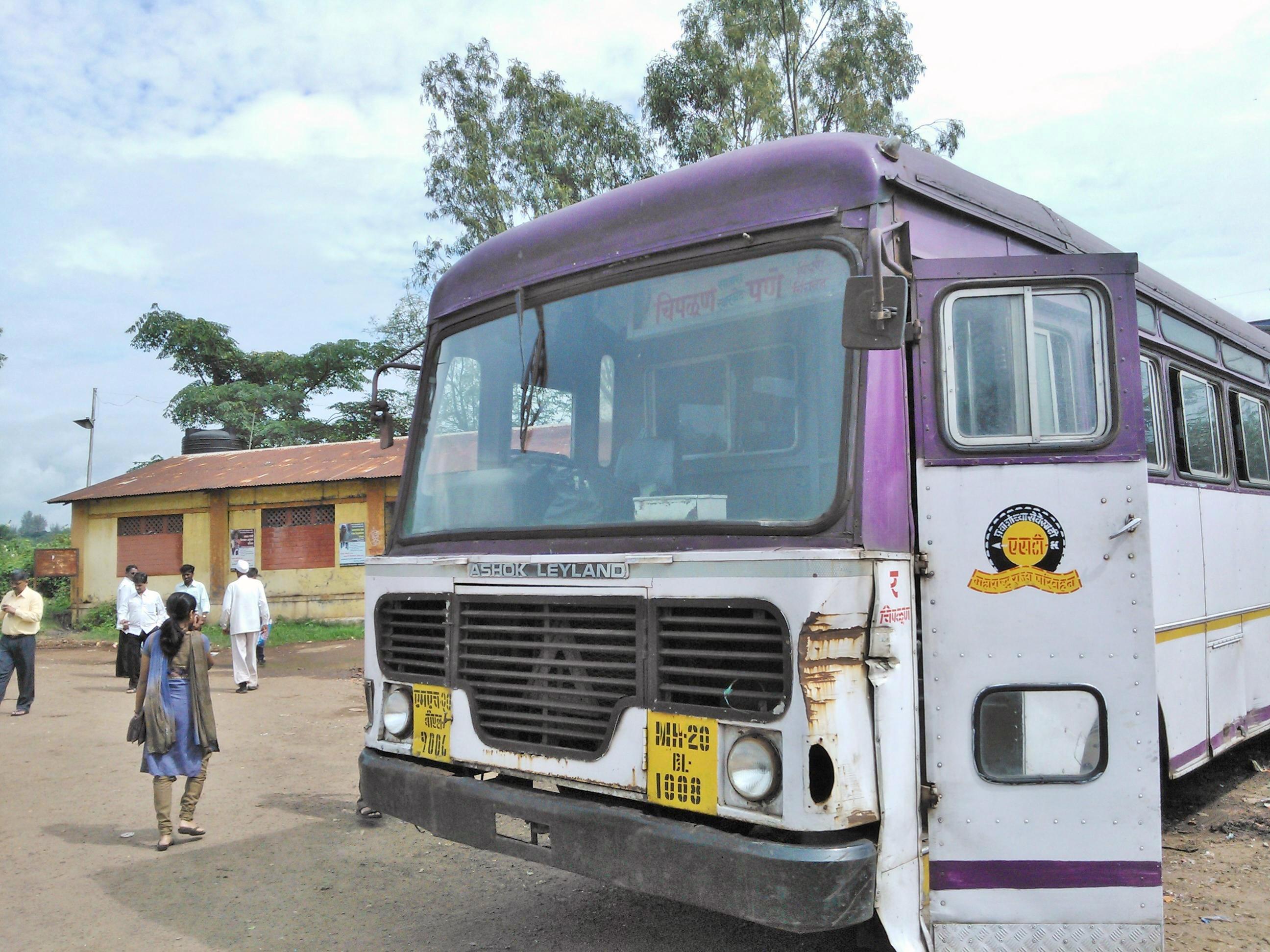
Chiplun-Pune

Chiplun-Vijapur
Sada Waghapur
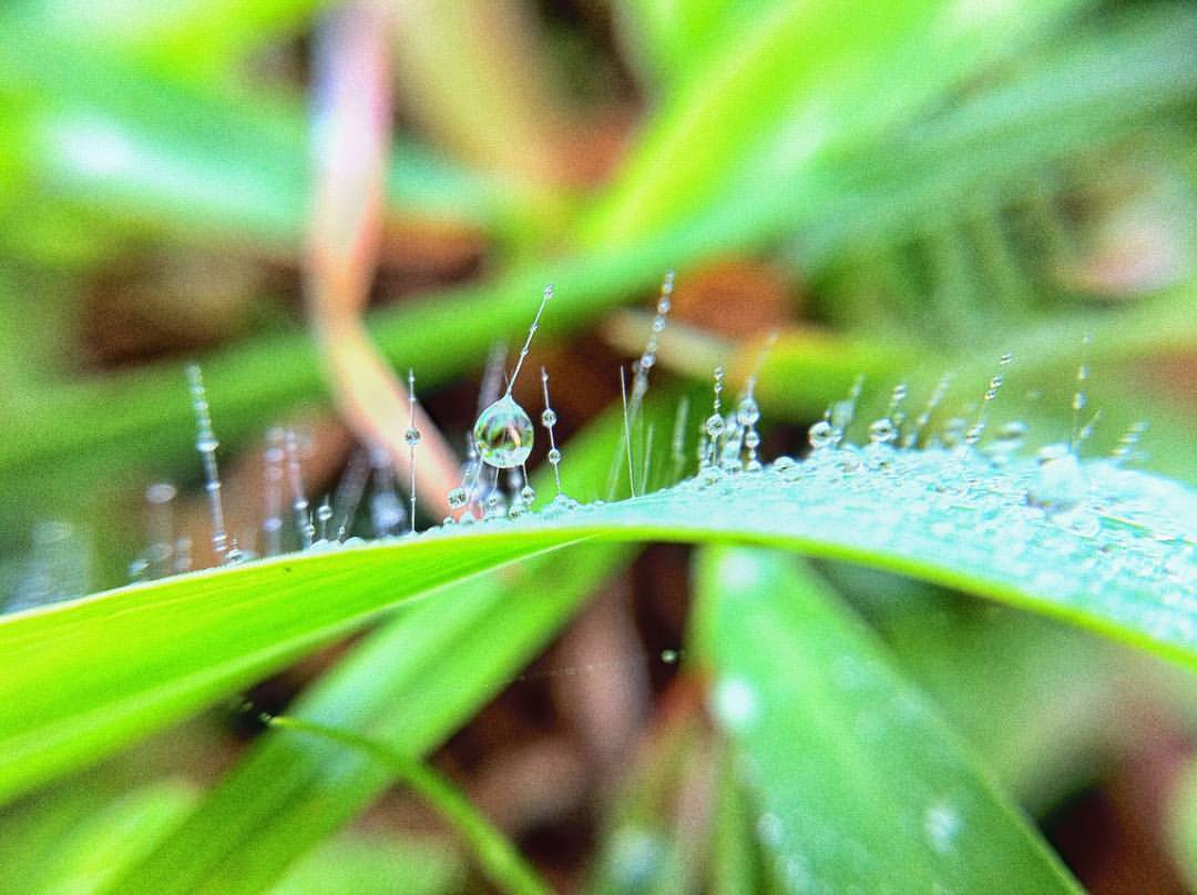
#macros #macrophotography #dewdrops #nature #iphone4 with #lifetron lens. #green world. #justvagabondtraveldiary

#Nature #Green #instanature #instaflower #instapic #nofilter

#flower is a #storyteller. It teaches you the phases of life. Lean to Learn. #kaas #platue #valley #NatureInFocus

Pune-Ratnagiri
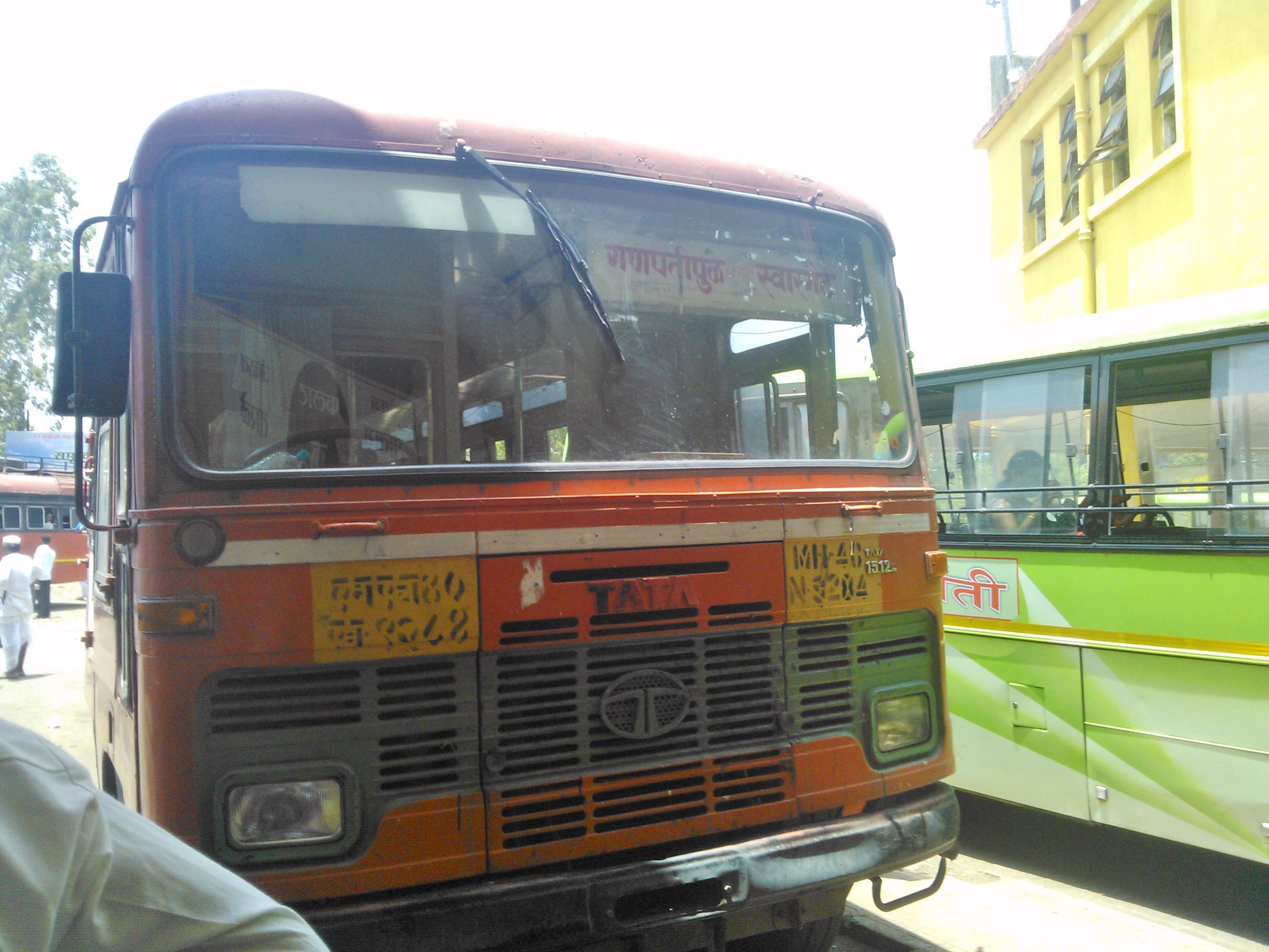
Ganpatipule-Swargate

Ratnagiri-Pune
Patan-Kolhapur
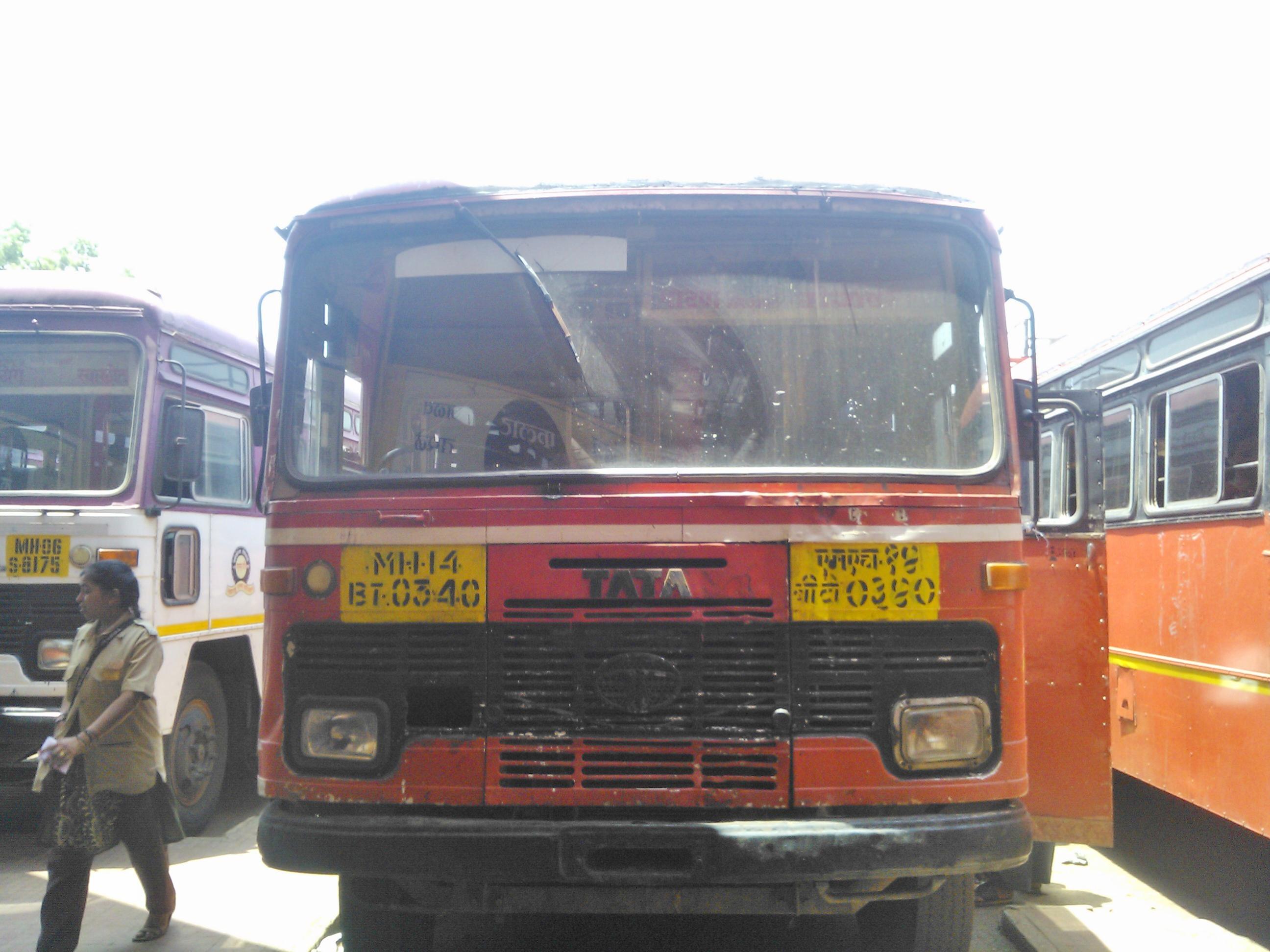
Dapoli-Akkalkot
Dapoli-Akklakot 2
Dapoli-Akklakot

Mandangad-Kolhapur

Miraj-Dapoli
Topographic Map of Borgewadi, Maharashtra, India
Find elevation by address:

Places near Borgewadi, Maharashtra, India:
Ekavadewadi
Varpewadi
Salave
Mahind
Udhavane
Tamine
Sanbur
Kalkewadi
Natoshi
Banpuri
Kasrund
Kolekarwadi
Dhavade
Pethshivapur
Morgiri
Adadev
Dikshi
Paneri
Sonavade
Sulewadi
Recent Searches:
- Elevation of Corso Fratelli Cairoli, 35, Macerata MC, Italy
- Elevation of Tallevast Rd, Sarasota, FL, USA
- Elevation of 4th St E, Sonoma, CA, USA
- Elevation of Black Hollow Rd, Pennsdale, PA, USA
- Elevation of Oakland Ave, Williamsport, PA, USA
- Elevation of Pedrógão Grande, Portugal
- Elevation of Klee Dr, Martinsburg, WV, USA
- Elevation of Via Roma, Pieranica CR, Italy
- Elevation of Tavkvetili Mountain, Georgia
- Elevation of Hartfords Bluff Cir, Mt Pleasant, SC, USA