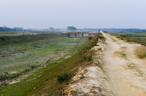
Elevation of Pandaul, Bihar, India
Longitude: 86.0835682
Latitude: 26.2566339
Elevation: 56m / 184feet
Barometric Pressure: 101KPa
Elevation Map:
Satellite Map:
Related Photos:
![india bihar àmontrer](https://live.staticflickr.com/6234/6362846455_44327e681c.jpg)
Monsoon drain
![](https://live.staticflickr.com/65535/50996226586_903c02bb30.jpg)
IMG_20210221_231622__01
![](https://live.staticflickr.com/7610/27221571143_00077200c2.jpg)
IMG_20160602_175829
![](https://live.staticflickr.com/7366/27799193826_1d4e55152e.jpg)
IMG_20160602_175315
![](https://live.staticflickr.com/7705/27118386501_65fb355c1e.jpg)
IMG_20160503_070143
![](https://live.staticflickr.com/7735/27091677592_2c012c32ce.jpg)
IMG_20160503_070140
![](https://live.staticflickr.com/7278/27091675632_1c95c4722a.jpg)
IMG_20160503_070132
![](https://live.staticflickr.com/7584/26912405000_76a657112e.jpg)
IMG_20160503_065613
![](https://live.staticflickr.com/7231/26582309143_49faa2dee8.jpg)
IMG_20160503_065554
![](https://live.staticflickr.com/5664/22153123953_e193381b8a.jpg)
IMG_20151101_121443
![](https://live.staticflickr.com/5758/22785450061_398ab548e3.jpg)
IMG_20151030_085735
![](https://live.staticflickr.com/5710/22151472714_1605e80575.jpg)
IMG_20151029_074036
![](https://live.staticflickr.com/5788/22774206845_6d19c5c52e.jpg)
IMG_20151029_074027
![](https://live.staticflickr.com/5764/22748212636_b2b4997994.jpg)
IMG_20151029_074024
![](https://live.staticflickr.com/711/22151163954_6048da6548.jpg)
IMG_20151027_115449
![](https://live.staticflickr.com/5786/22747907436_5c43402229.jpg)
IMG_20151027_115446
![](https://live.staticflickr.com/5679/22585936850_079ebe88f7.jpg)
IMG_20151027_115441
![](https://live.staticflickr.com/5629/22747901456_ab960c2ed0.jpg)
IMG_20151027_115439
![](https://live.staticflickr.com/5663/22785103991_65f70c002d.jpg)
IMG_20151027_115424
![](https://live.staticflickr.com/586/22151134934_f0205b9c15.jpg)
IMG_20151027_115432
![](https://live.staticflickr.com/5623/22773859265_d07ceefe3d.jpg)
IMG_20151027_115351
![](https://live.staticflickr.com/5741/22151057184_14343aa88d.jpg)
IMG_20151026_130935
Topographic Map of Pandaul, Bihar, India
Find elevation by address:
Places near Pandaul, Bihar, India:
Recent Searches:
- Elevation of Corso Fratelli Cairoli, 35, Macerata MC, Italy
- Elevation of Tallevast Rd, Sarasota, FL, USA
- Elevation of 4th St E, Sonoma, CA, USA
- Elevation of Black Hollow Rd, Pennsdale, PA, USA
- Elevation of Oakland Ave, Williamsport, PA, USA
- Elevation of Pedrógão Grande, Portugal
- Elevation of Klee Dr, Martinsburg, WV, USA
- Elevation of Via Roma, Pieranica CR, Italy
- Elevation of Tavkvetili Mountain, Georgia
- Elevation of Hartfords Bluff Cir, Mt Pleasant, SC, USA