Elevation of Pakdasht, Tehran Province, Iran
Location: Iran > Tehran >
Longitude: 51.6860625
Latitude: 35.4668913
Elevation: 1028m / 3373feet
Barometric Pressure: 0KPa
Related Photos:


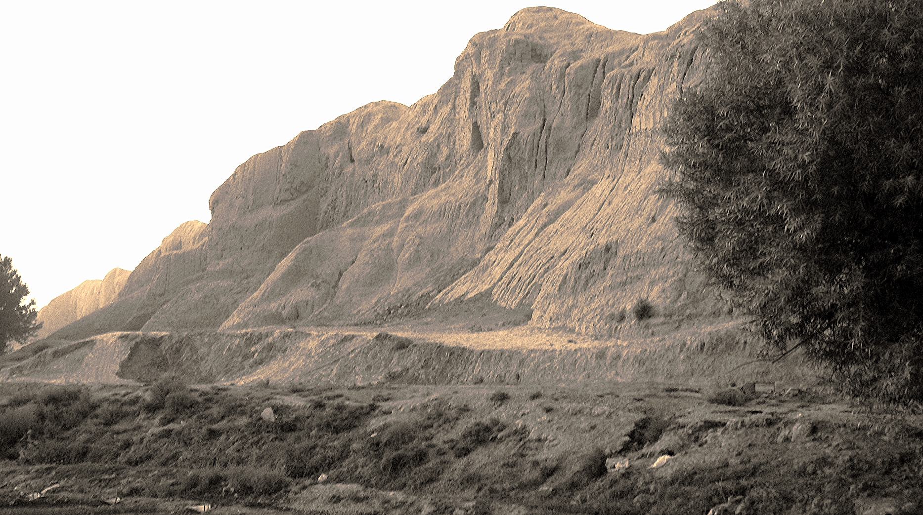
VKM69 - 19 - IMG_7977

Draisine te Varamin

اوووووف به این ژست و این عکاس

چای قند پهلو #بزن

Day 458 Start!

Day 458 Goal!
IMG_2052 Varamin, Iran

The meal on the train
Topographic Map of Pakdasht, Tehran Province, Iran
Find elevation by address:

Places near Pakdasht, Tehran Province, Iran:
Sharifabad
Qarchak
Varamin
Jajrood
Pishva
Eqbālīyeh
محمدیه
Shahr-e-rey
Siyāhsang
Jajrud
Pardis
Tehranpars
Tehranpars
Khorasan Square
Bumehen
District 4
Tehran
Tehran Bazaar
Namayeshgah Mashin Sameri
North Khaniabad
Recent Searches:
- Elevation of Denver, 2314, Arapahoe Street, Five Points, Denver, Colorado, 80205, USA
- Elevation of Community of the Beatitudes, 2924, West 43rd Avenue, Sunnyside, Denver, Colorado, 80211, USA
- Elevation map of Litang County, Sichuan, China
- Elevation map of Madoi County, Qinghai, China
- Elevation of 3314, Ohio State Route 114, Payne, Paulding County, Ohio, 45880, USA
- Elevation of Sarahills Drive, Saratoga, Santa Clara County, California, 95070, USA
- Elevation of Town of Bombay, Franklin County, New York, USA
- Elevation of 9, Convent Lane, Center Moriches, Suffolk County, New York, 11934, USA
- Elevation of Saint Angelas Convent, 9, Convent Lane, Center Moriches, Suffolk County, New York, 11934, USA
- Elevation of 131st Street Southwest, Mukilteo, Snohomish County, Washington, 98275, USA
- Elevation of 304, Harrison Road, Naples, Cumberland County, Maine, 04055, USA
- Elevation of 2362, Timber Ridge Road, Harrisburg, Cabarrus County, North Carolina, 28075, USA
- Elevation of Ridge Road, Marshalltown, Marshall County, Iowa, 50158, USA
- Elevation of 2459, Misty Shadows Drive, Pigeon Forge, Sevier County, Tennessee, 37862, USA
- Elevation of 8043, Brightwater Way, Spring Hill, Williamson County, Tennessee, 37179, USA
- Elevation of Starkweather Road, San Luis, Costilla County, Colorado, 81152, USA
- Elevation of 5277, Woodside Drive, Baton Rouge, East Baton Rouge Parish, Louisiana, 70808, USA
- Elevation of 1139, Curtin Street, Shepherd Park Plaza, Houston, Harris County, Texas, 77018, USA
- Elevation of 136, Sellers Lane, Repton, Monroe County, Alabama, 36475, USA
- Elevation of 12914, Elmington Drive, Lakewood Forest, Houston, Harris County, Texas, 77429, USA