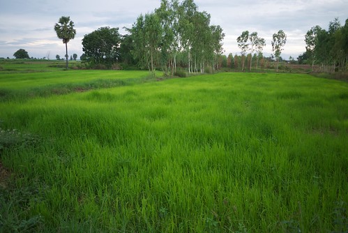
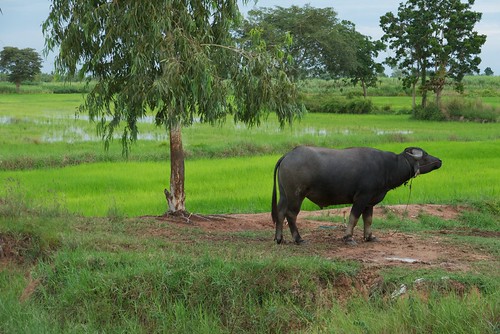
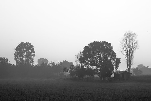
Elevation of Pak Thong Chai District, Nakhon Ratchasima, Thailand
Location: Thailand > Nakhon Ratchasima >
Longitude: 102.026135
Latitude: 14.6710601
Elevation: 206m / 676feet
Barometric Pressure: 99KPa
Related Photos:
Topographic Map of Pak Thong Chai District, Nakhon Ratchasima, Thailand
Find elevation by address:

Places in Pak Thong Chai District, Nakhon Ratchasima, Thailand:
Places near Pak Thong Chai District, Nakhon Ratchasima, Thailand:
Bo Pla Thong
Khok Kruat
สีวลี ถนนมิตรภาพ
Wang Nam Khiao District
บริษัท ปฐพีทอง จำกัด
Nakhon Ratchasima
Hua Thale
Mueang Nakhon Ratchasima District
Nakhon Ratchasima
Nong Krathum
สราญสิริ โคราช - Saransiri Korat
Wang Nam Khiao
Wang Katha
Wang Mi
Mountain Creek Golf Resort And Residences
Sap Samran
Wat Pa Phu Hai Long
Khaoyai Hideaway
Sala Khaoyai Resort ศาลาเขาใหญ่ รีสอร์ท
Po Hu
Recent Searches:
- Elevation of Corso Fratelli Cairoli, 35, Macerata MC, Italy
- Elevation of Tallevast Rd, Sarasota, FL, USA
- Elevation of 4th St E, Sonoma, CA, USA
- Elevation of Black Hollow Rd, Pennsdale, PA, USA
- Elevation of Oakland Ave, Williamsport, PA, USA
- Elevation of Pedrógão Grande, Portugal
- Elevation of Klee Dr, Martinsburg, WV, USA
- Elevation of Via Roma, Pieranica CR, Italy
- Elevation of Tavkvetili Mountain, Georgia
- Elevation of Hartfords Bluff Cir, Mt Pleasant, SC, USA
