Elevation map of Nakhon Ratchasima, Thailand
Location: Thailand >
Longitude: 102.097769
Latitude: 14.9798997
Elevation: 184m / 604feet
Barometric Pressure: 99KPa
Elevation Map:
Satellite Map:
Related Photos:
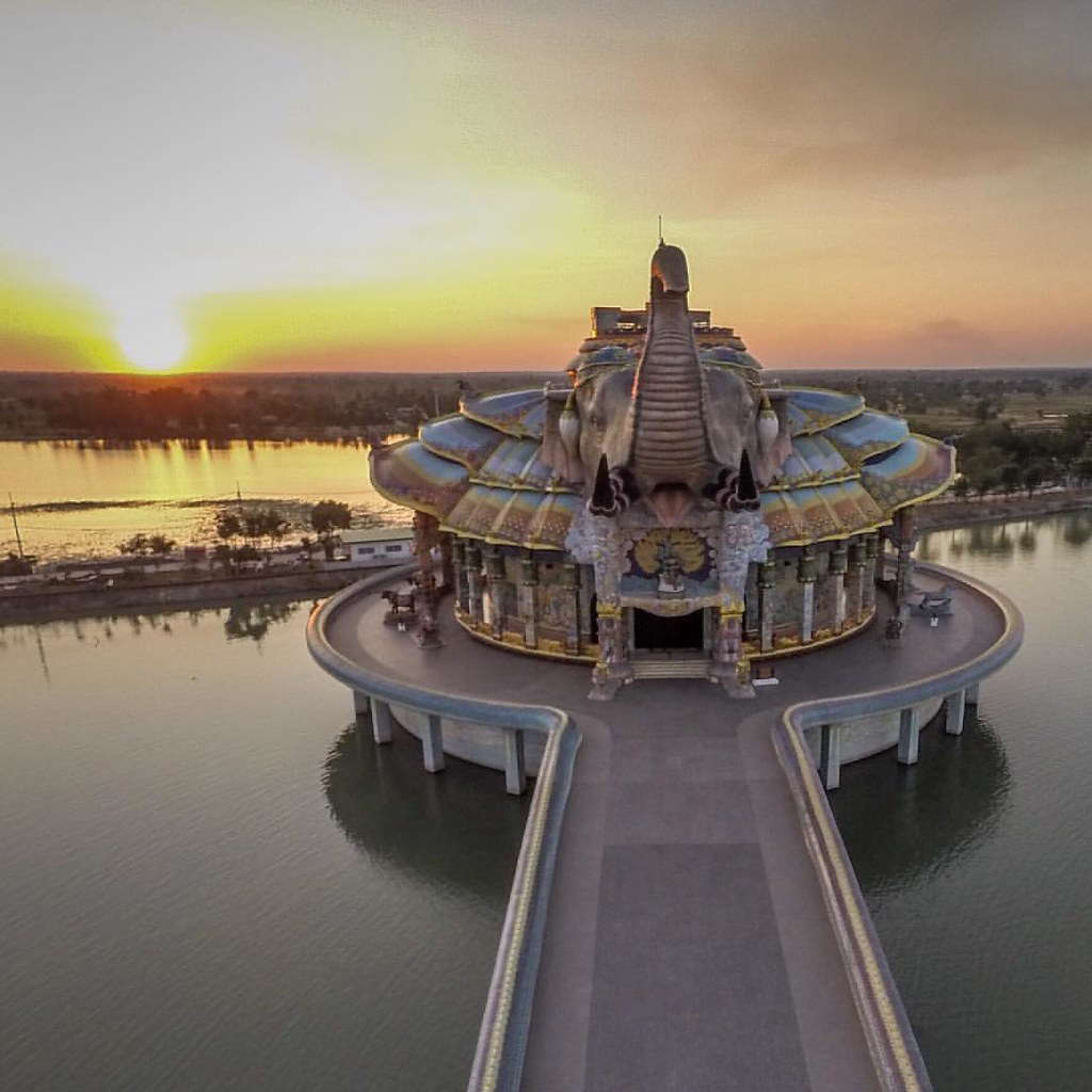
Aerial drone view of the modern Elephant Temple near Korat, Thailand.

ISAAN (9)

ISAAN (8)

ISAAN (14)

ISAAN (27)

ISAAN (21)

ISAAN (20)

ISAAN (23)

ISAAN (29)

ISAAN (24)

ISAAN (0)

ISAAN (4)

ISAAN 64

ISAAN (16)

ISAAN (15)

ISAAN (1)

ISAAN (5)

ISAAN (7)

ISAAN (17)

ISAAN (6)

ISAAN (10)
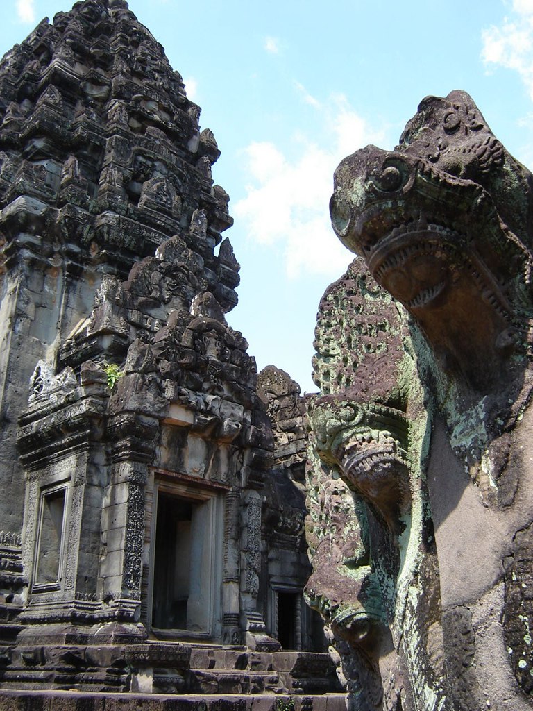
Cambodia (38)
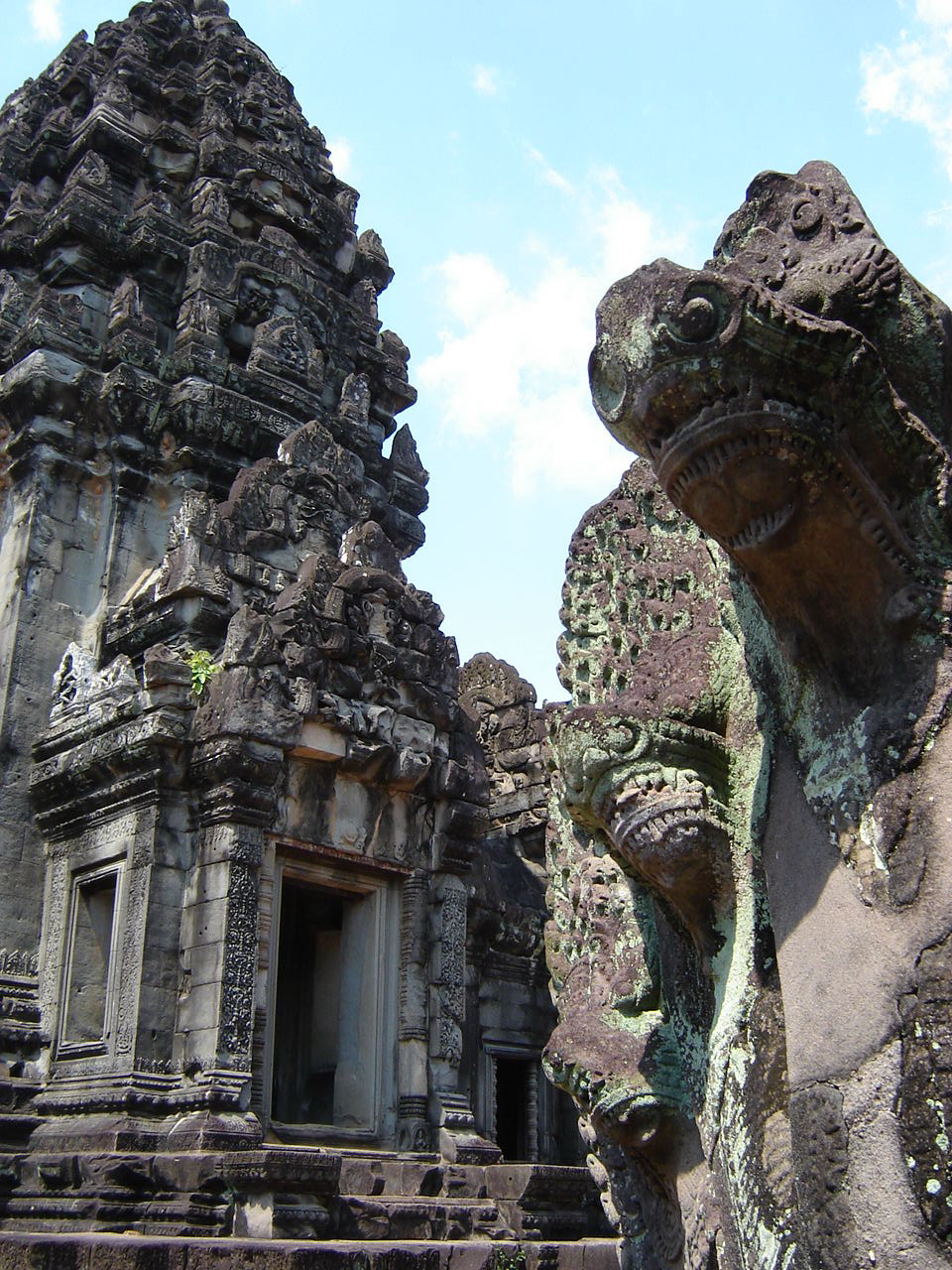
Cambodia (38)

IMG02910-20100612-1243

Way of light
IMG02911-20100612-1244

mobi #thailand #gf #gf_thailand #gang_family #jj...
Topographic Map of Nakhon Ratchasima, Thailand
Find elevation by address:

Places in Nakhon Ratchasima, Thailand:
Wang Nam Khiao District
Pak Thong Chai District
Pak Chong District
Sikhio District
Nakhon Ratchasima
Mueang Nakhon Ratchasima District
Places near Nakhon Ratchasima, Thailand:
Mueang Nakhon Ratchasima District
Nakhon Ratchasima
Nong Krathum
Hua Thale
สราญสิริ โคราช - Saransiri Korat
บริษัท ปฐพีทอง จำกัด
สีวลี ถนนมิตรภาพ
Khok Kruat
Pak Thong Chai District
Bo Pla Thong
Sikhio District
Mountain Creek Golf Resort And Residences
Wang Nam Khiao District
Khok Roengrom
Wang Katha
Unnamed Road
Bamnet Narong District
Wang Nam Khiao
Sap Samran
Thailand
Recent Searches:
- Elevation of Corso Fratelli Cairoli, 35, Macerata MC, Italy
- Elevation of Tallevast Rd, Sarasota, FL, USA
- Elevation of 4th St E, Sonoma, CA, USA
- Elevation of Black Hollow Rd, Pennsdale, PA, USA
- Elevation of Oakland Ave, Williamsport, PA, USA
- Elevation of Pedrógão Grande, Portugal
- Elevation of Klee Dr, Martinsburg, WV, USA
- Elevation of Via Roma, Pieranica CR, Italy
- Elevation of Tavkvetili Mountain, Georgia
- Elevation of Hartfords Bluff Cir, Mt Pleasant, SC, USA