Elevation of Painted Rocks State Park, W Fork Rd, Darby, MT, USA
Location: United States > Montana > Ravalli County > Darby >
Longitude: -114.30231
Latitude: 45.6803561
Elevation: 1447m / 4747feet
Barometric Pressure: 85KPa
Elevation Map:
Satellite Map:
Related Photos:
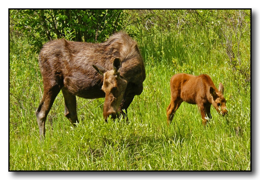
Mama Moose & Calf
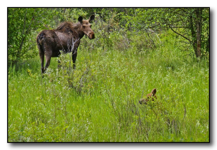
Mama Moose & Calf
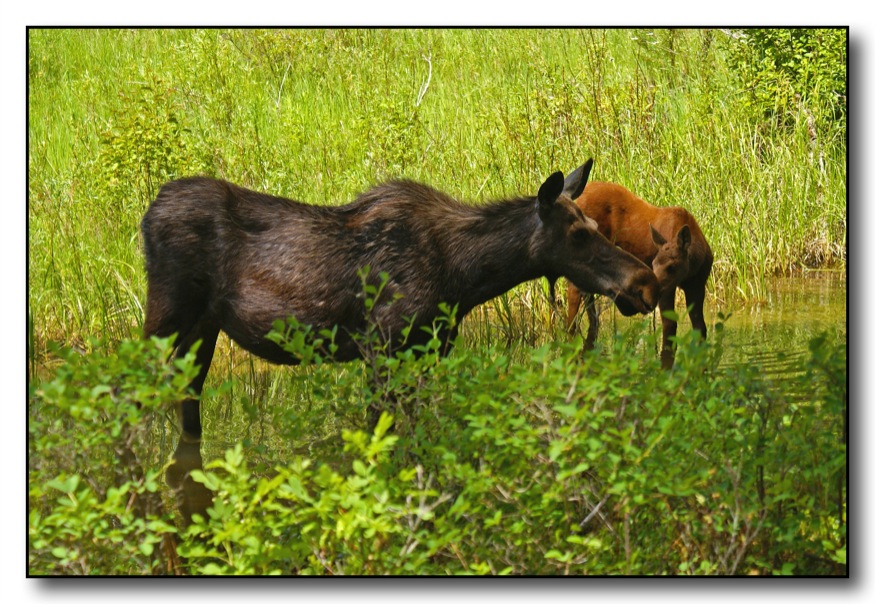
Mama Moose & Calf
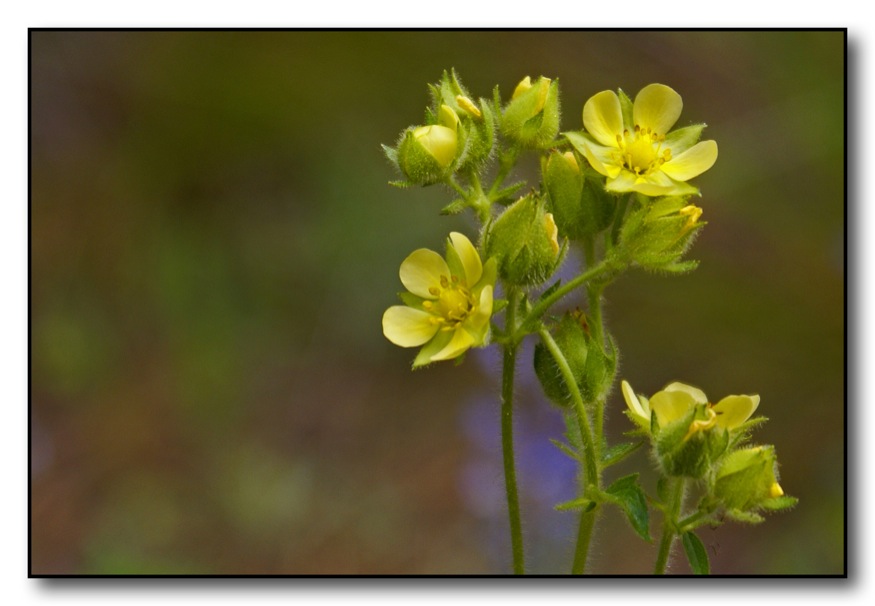
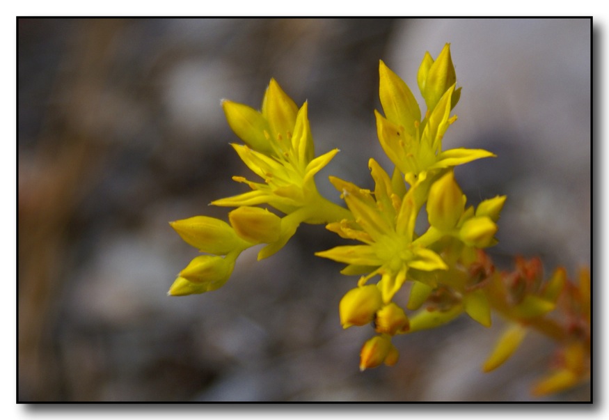
Splashes of Yellow

Wild Geranium
Small Drops of Beauty

june 15 (5)
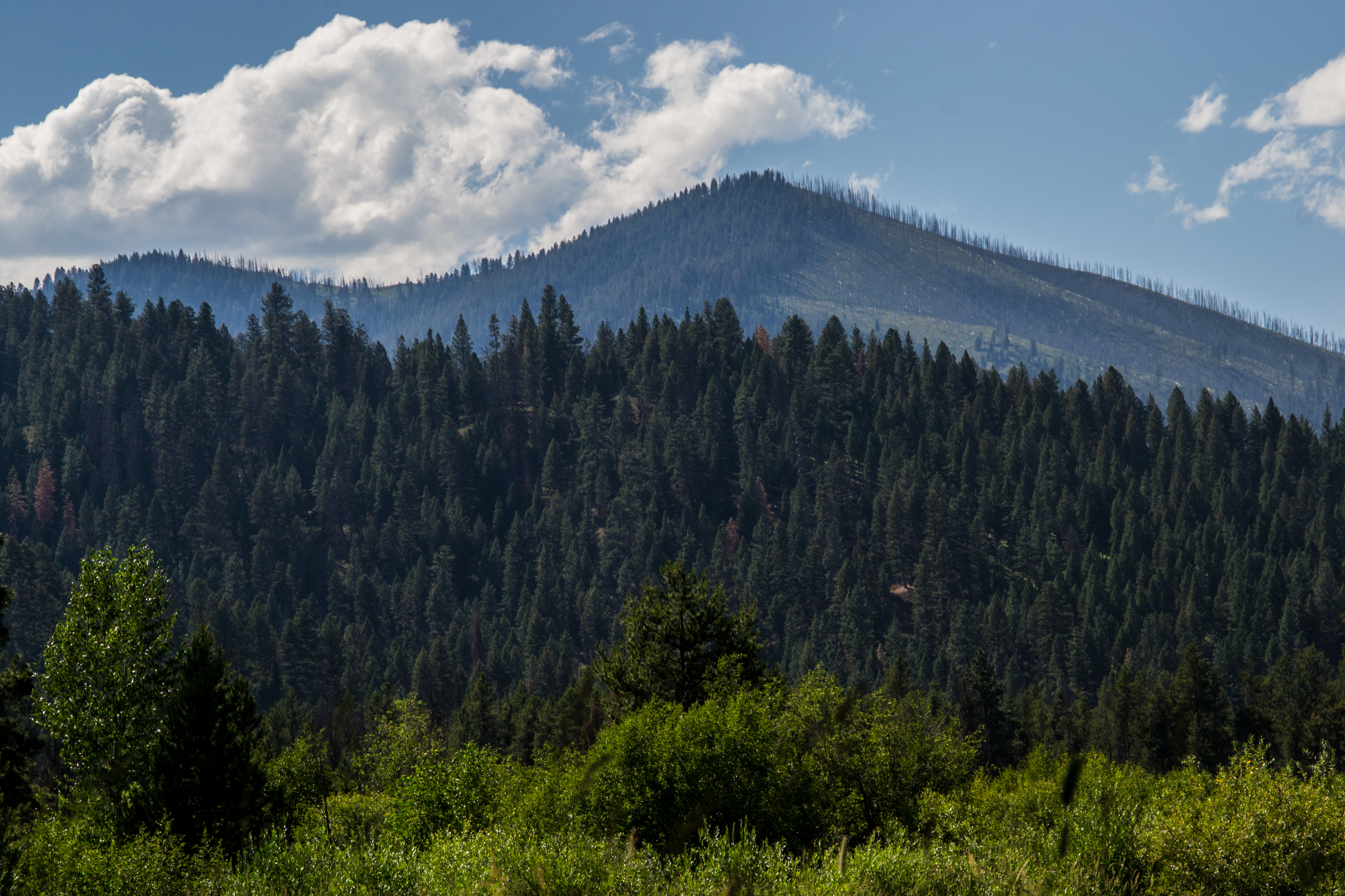
Bitterroot Mountains, Alta Ranch

Clouds over Alta Ranch

skies over Alta Ranch

Painted Rocks Lake
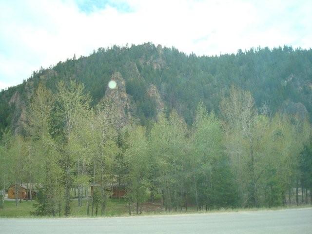
Lovely mountains near the site

Painted Rocks Lake

Painted Rocks Lake
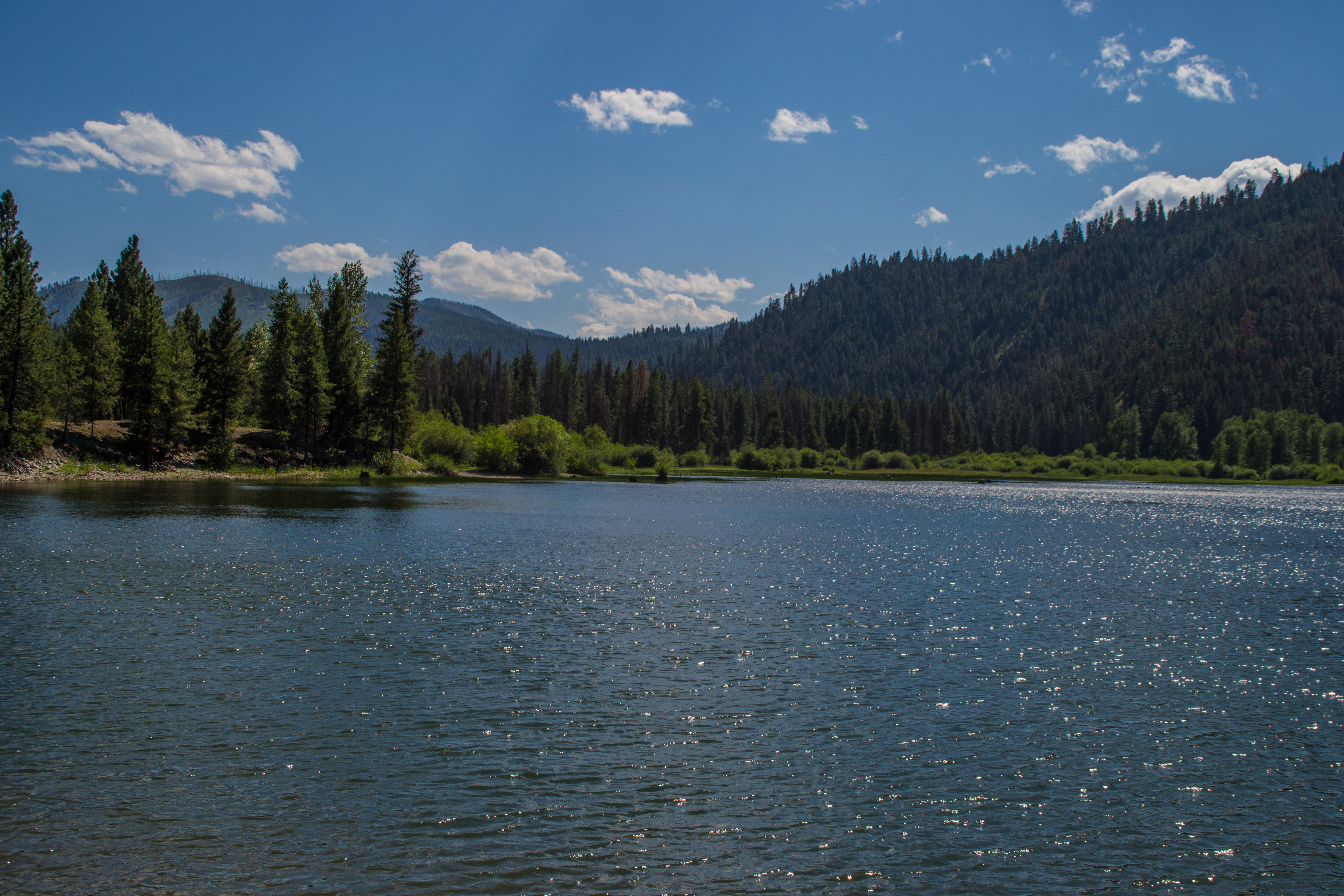
Painted Rocks Lake
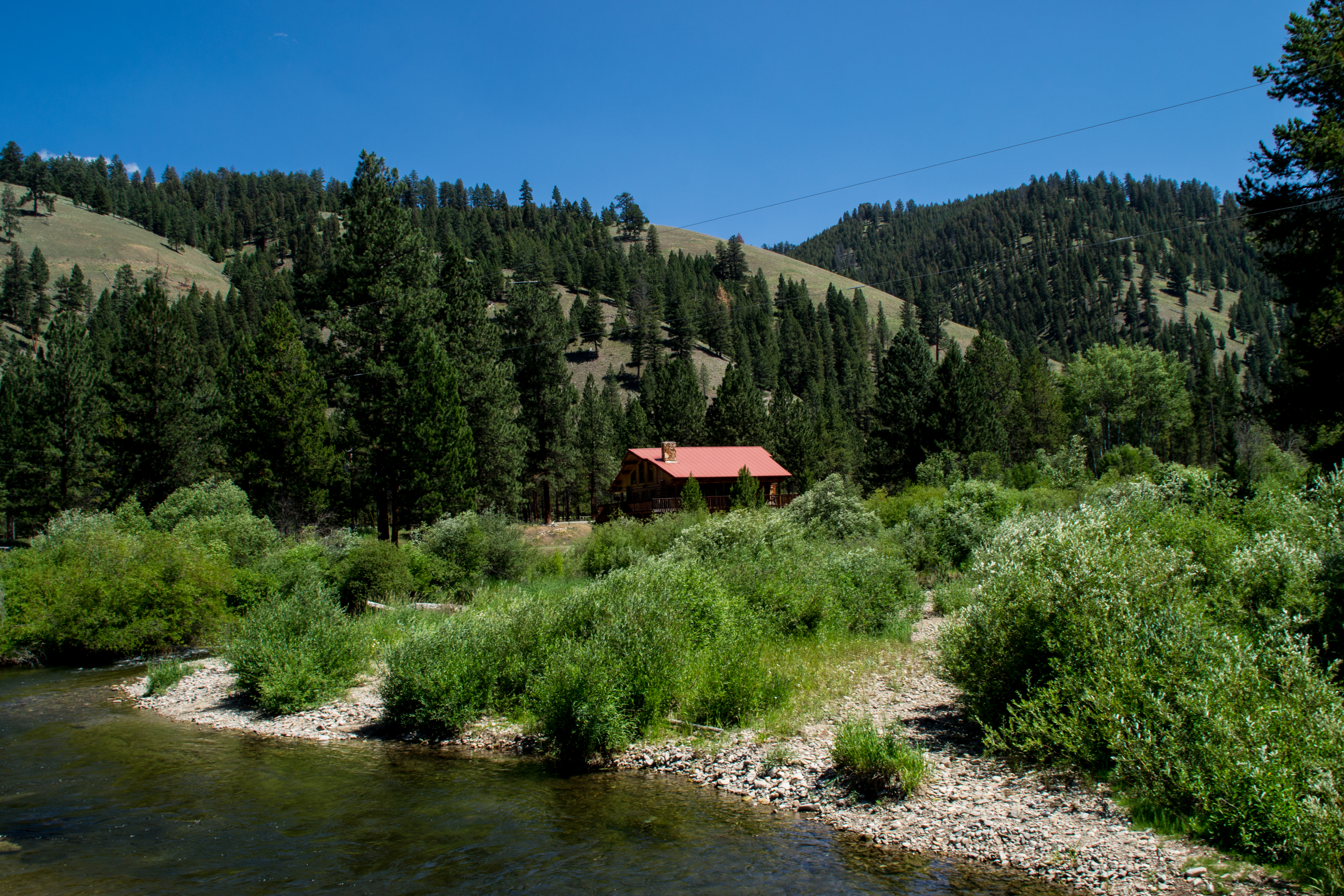
Alta Ranch
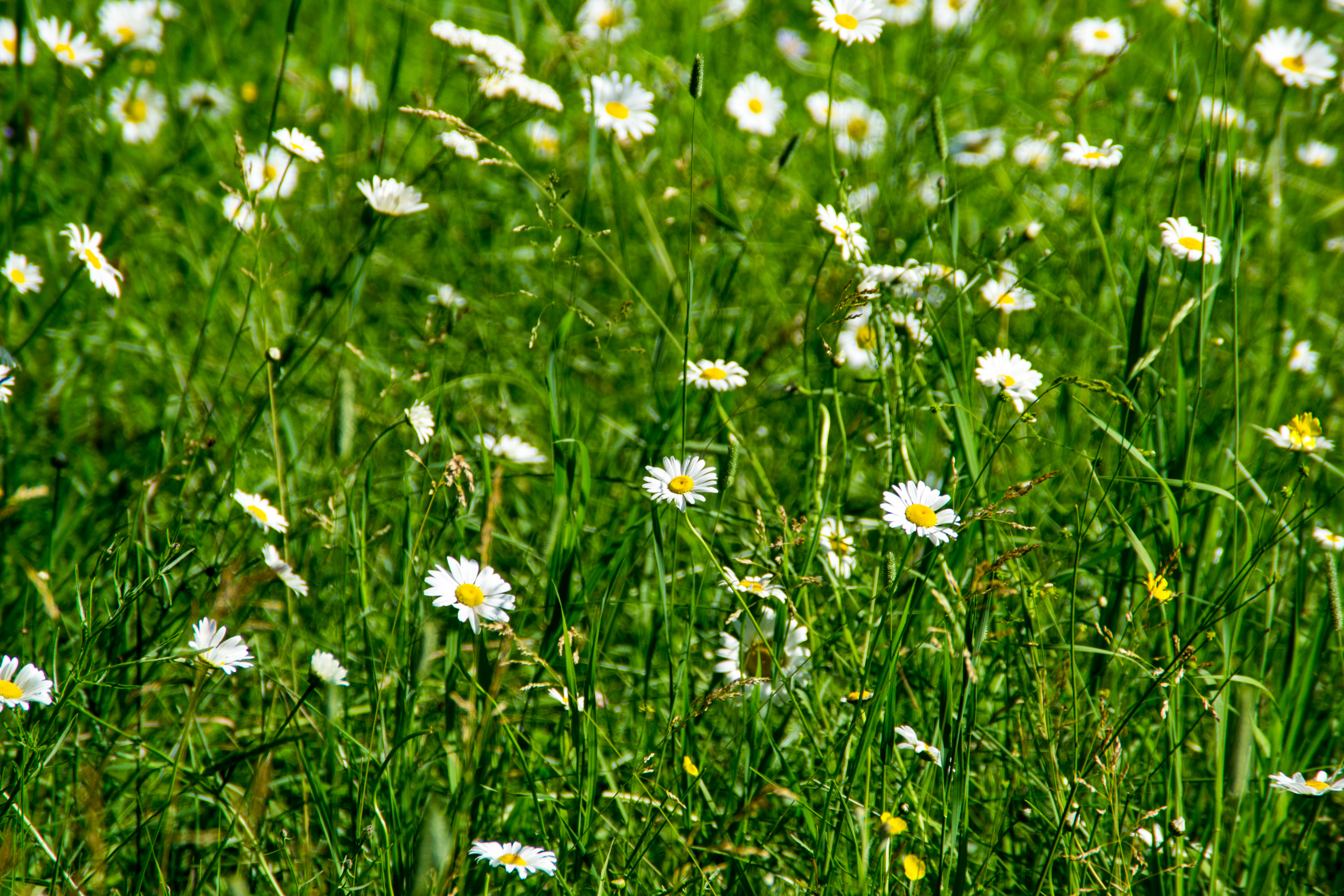
Daisies, Alta Ranch

june 15 (4)

june 15 (3)
Topographic Map of Painted Rocks State Park, W Fork Rd, Darby, MT, USA
Find elevation by address:

Places near Painted Rocks State Park, W Fork Rd, Darby, MT, USA:
Painted Rocks Lake
7976 W Fork Rd
145 W Mountain Rd
145 W Mountain Rd
145 W Mountain Rd
145 W Mountain Rd
Rombo
7206 Nez Perce Rd
171 Beavertail Creek Rd
7247 Lapwai Ln
210 Christisen South Rd
West Fork Lodge
Conner, MT, USA
26 Winn Rd
44 Winn Rd
Conner
36 Trapper View Ln
Medicine Springs Rd, Conner, MT, USA
24 Dickson Creek Rd
4674 Us-93
Recent Searches:
- Elevation of Corso Fratelli Cairoli, 35, Macerata MC, Italy
- Elevation of Tallevast Rd, Sarasota, FL, USA
- Elevation of 4th St E, Sonoma, CA, USA
- Elevation of Black Hollow Rd, Pennsdale, PA, USA
- Elevation of Oakland Ave, Williamsport, PA, USA
- Elevation of Pedrógão Grande, Portugal
- Elevation of Klee Dr, Martinsburg, WV, USA
- Elevation of Via Roma, Pieranica CR, Italy
- Elevation of Tavkvetili Mountain, Georgia
- Elevation of Hartfords Bluff Cir, Mt Pleasant, SC, USA