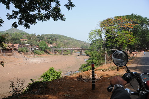
Elevation of Ozare Kh., Maharashtra, India
Location: India > Maharashtra > Ratnagiri >
Longitude: 73.6241855
Latitude: 17.0914993
Elevation: 162m / 531feet
Barometric Pressure: 99KPa
Related Photos:
Topographic Map of Ozare Kh., Maharashtra, India
Find elevation by address:

Places near Ozare Kh., Maharashtra, India:
Tamhane Kh.
Devrukh
Belari Bk.
Nive Kh.
Vanzole Kh.
Belari Kh.
Nive Bk.
Vanzole Bk.
Morde
Marleshwar Waterfall
Marleshwar Shiva Temple
Musalman Wadi
Dabhole Bk.
Kondgaon Kh.
Sangameshwar
Sakharpa
Kondgaon
Dabhole Kh.
Ambedu Kh.
Borivale
Recent Searches:
- Elevation of Corso Fratelli Cairoli, 35, Macerata MC, Italy
- Elevation of Tallevast Rd, Sarasota, FL, USA
- Elevation of 4th St E, Sonoma, CA, USA
- Elevation of Black Hollow Rd, Pennsdale, PA, USA
- Elevation of Oakland Ave, Williamsport, PA, USA
- Elevation of Pedrógão Grande, Portugal
- Elevation of Klee Dr, Martinsburg, WV, USA
- Elevation of Via Roma, Pieranica CR, Italy
- Elevation of Tavkvetili Mountain, Georgia
- Elevation of Hartfords Bluff Cir, Mt Pleasant, SC, USA
