Elevation of Oysterville Rd, Ocean Park, WA, USA

Location: United States > Washington > Pacific County > Ocean Park >

Longitude: -124.03337

Latitude: 46.5476925

Elevation: 13m / 43feet

Barometric Pressure: 101KPa

Elevation Map:

elevation map of Oysterville Rd, Ocean Park, WA, USA
Satellite Map:

Satellite map of Oysterville Rd, Ocean Park, WA, USA
Related Photos:

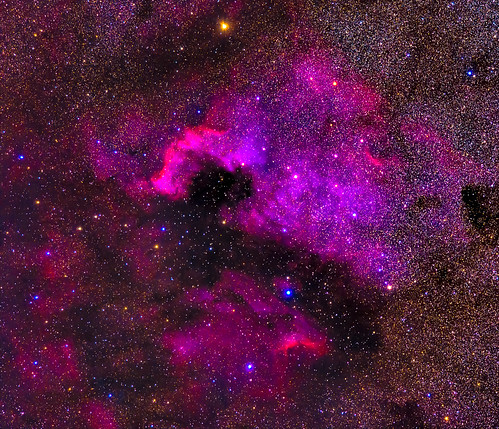
longexposure travel november nature stars iso800 washington unitedstates olympicpeninsula noflash longbeach nebula northamerica portfolio locations oceanpark 400mm manualmode ngc7000 2013 longbeachpeninsula 500px losmandyg11 400mmf28 astronomicalobject geo:state=washington exif:iso_speed=800 Astrometrydotnet:status=solved germanequatorialmount hasmetastyletag hascameratype haslenstype selfrating4stars exif:focal_length=400mm camera:make=nikoncorporation exif:make=nikoncorporation geo:countrys=unitedstates exif:aperture=ƒ50 subjectdistanceunknown nikond800e exif:lens=400mmf28 exif:model=nikond800e camera:model=nikond800e 2013travel nikkor400mmf28gedafsvr november242013 hasmounttype longbeachwashington1122201311252013adamsbirthdaytrip processedinpixinsight thenorthamericannebula geo:city=oceanpark geo:lon=12406033741 geo:lat=4649445038 3000secatf50 46°2940n124°337w oceanparkwashingtonunitedstates Astrometrydotnet:id=nova159644
NGC7000 - The North American Nebula
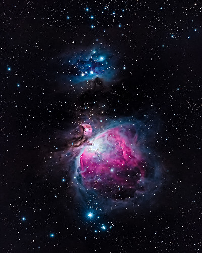
longexposure travel november nature stars iso800 washington unitedstates olympicpeninsula noflash longbeach nebula m42 northamerica portfolio locations oceanpark manualmode 2013 longbeachpeninsula 500px losmandyg11 550mm 400mmf28 astronomicalobject geo:state=washington exif:iso_speed=800 Astrometrydotnet:status=solved theorionnebula germanequatorialmount hasmetastyletag hascameratype haslenstype selfrating4stars camera:make=nikoncorporation 1200secatf56 exif:make=nikoncorporation exif:focal_length=550mm geo:countrys=unitedstates exif:aperture=ƒ56 subjectdistanceunknown nikond7100 nikond800e exif:lens=400mmf28 2013travel nikkor400mmf28gedafsvr camera:model=nikond7100 exif:model=nikond7100 hasmounttype november232013 longbeachwashington1122201311252013adamsbirthdaytrip processedinpixinsight geo:city=oceanpark oceanparkwashingtonunitedstates geo:lat=4649166184 geo:lon=12405775371 46°2930n124°328w Astrometrydotnet:id=nova165118
M42 - The Orion Nebula
geotagged geo:lat=465783333333333 geo:lon=123912166666667 geo:dir=1078
19343.jpg
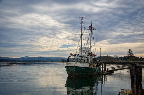
sky clouds watercolor bay pier boat nikon decay working hero pacificnorthwest pnw willapabay resilience baycenter researchvessel scrappiness baycenterwa mvherobaycenterwa mvhero rvherobaycenterwa
R/V Hero, Bay Center WA
geotagged geo:dir=352 geo:lon=123920333333333 geo:lat=464601666666667
19556.jpg
geotagged geo:lon=123898833333333 geo:lat=46613 geo:dir=3293
19273.jpg
geotagged geo:lat=466135 geo:lon=1238915 geo:dir=2978
19275.jpg
geotagged geo:lon=123918 geo:lat=465635 geo:dir=528
19447.jpg
geotagged geo:dir=305 geo:lat=465523333333333 geo:lon=123903
19454.jpg
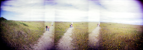
panorama beach ava mediumformat holga dunes longbeach elaine russ beachhouse
dunes panorama
geotagged geo:dir=17 geo:lat=466331666666667 geo:lon=123929
19243.jpg
geotagged geo:dir=285 geo:lat=464206666666667 geo:lon=123937166666667
17989.jpg
geotagged geo:lon=124025833333333 geo:lat=465863333333333 geo:dir=2379
18283.jpg
geotagged geo:lon=123903 geo:lat=464916666666667 geo:dir=786
19512.jpg
geotagged geo:dir=2263 geo:lat=466156666666667 geo:lon=1239015
19279.jpg
geotagged geo:dir=391 geo:lat=466031666666667 geo:lon=123951
19422.jpg
geotagged geo:dir=3183 geo:lat=46656 geo:lon=1239115
19194.jpg
geotagged geo:dir=1501 geo:lat=466276666666667 geo:lon=1239105
19260.jpg
geotagged geo:lat=464663333333333 geo:lon=123938166666667 geo:dir=368
19550.jpg
geotagged geo:lat=46613 geo:lon=123896166666667 geo:dir=2807
19276.jpg
geotagged geo:dir=26 geo:lon=1239005 geo:lat=46599
19313.jpg
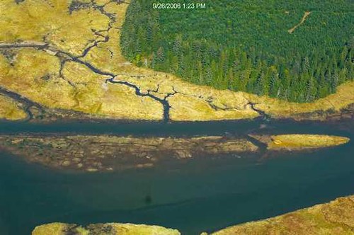
estuary landscape landscapephotography nature naturephotography niawiakumriver northamerica originalphotographers pacificcounty pacificnorthwest photooftheday photographersontumblr photography trees unitedstates usa washington washingtonstate water willapabay winter
Estuary, Niawiakum River Natural Area, Washington, Winter 2017
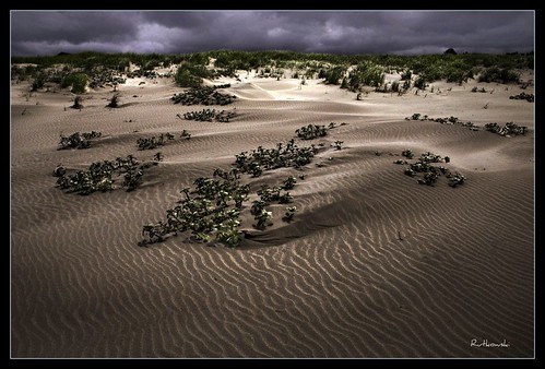
sun beach fog landscape washington sand bravo dunes dune longbeach sanddune klipsan klipsanbeach
Dunes #1 - Klipsan Beach, Washington
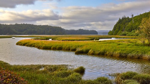
chetloharbor clouds forest grass landscape landscapephotography nature naturephotography northamerica originalphotographers pacificcounty pacificnorthwest photooftheday photographersontumblr photography slough trees unitedstates usa washington washingtonstate water willapabay winter
Slough, Government Road, Pacific County, Washington, Winter 2017
PIX-IMG_6957HDTV-Test-g
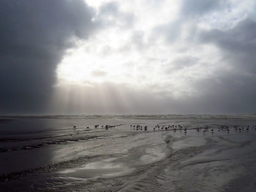
Just a stormy day at the beach!
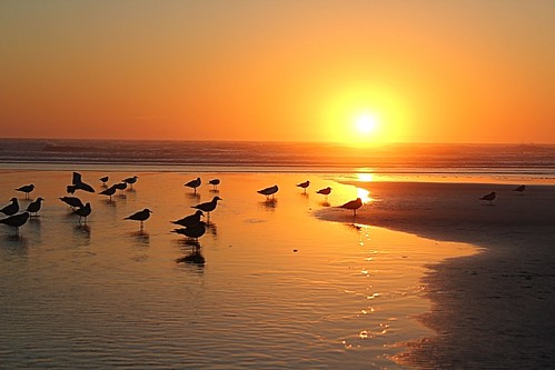
ocean sunset water birds sand pacificocean 366
366/250 - 9/6/12 - Sunset on the Pacific Ocean!
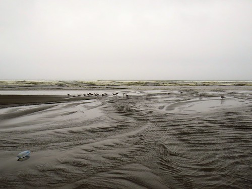
365/31 - 1/31/13 - Immortal, the beach and water will always be here, wish the plastic junk was'nt!
dog seaweed beach coast washington sand pacificocean pacificnorthwest
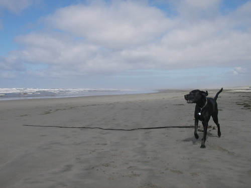
A seaweed huntin' dog
ocean beach water washington sand highkey odc1
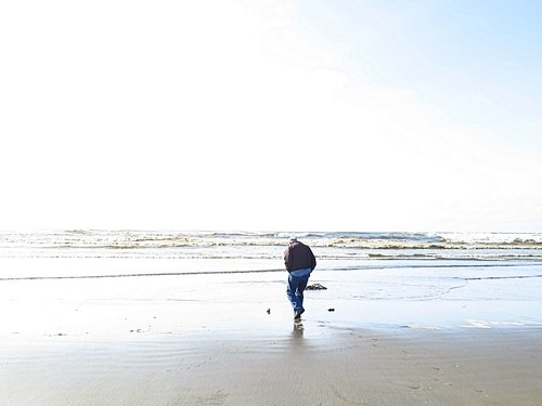
365/77 - 3/18/13 - HIGH KEY is the topic for Monday 18th March 2013
365/53 - 2/22/13 - Fun stormy day at the beach!
ocean washington longbeach westport pnw
Washington Country Side
geotagged geo:lat=464575 geo:lon=123995 geo:dir=565
18115.jpg
Loomis lake today
ocean sunset water waves 366
366/245 - 9/1/12 - Almost gone!
year2013 continentnorthamerica countryunitedstates statesuswashington quadrantsouthwest regionuswalongbeachpeninsula cityuswaoysterville parknationalhistoricplaceuswaoysterville day182of366june30th set2013uswashington trip2013uswashingtonlongbeach
20130630-036
geotagged geo:lon=1240435 geo:lat=466253333333333 geo:dir=289
18312.jpg
geotagged geo:lon=1238965 geo:lat=465643333333333 geo:dir=2917
19356.jpg
uploaded:by=flickrmobile flickriosapp:filter=nofilter
Long Beach