Elevation of Espy Lane, Espy Ln, Washington, USA
Location: United States > Washington > Pacific County > Ocean Park >

Longitude: -124.03277

Latitude: 46.5439452

Elevation: 11m / 36feet

Barometric Pressure: 101KPa

Elevation Map:

elevation map of Espy Lane, Espy Ln, Washington, USA

Satellite Map:

Satellite map of Espy Lane, Espy Ln, Washington, USA
Related Photos:

geotagged geo:lon=1238975 geo:lat=465295 geo:dir=1065
19466.jpg
geotagged geo:lat=465783333333333 geo:lon=123912166666667 geo:dir=1078
19343.jpg
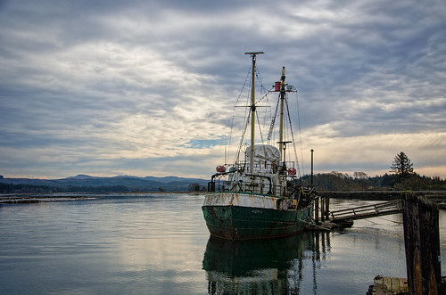
sky clouds watercolor bay pier boat nikon decay working hero pacificnorthwest pnw willapabay resilience baycenter researchvessel scrappiness baycenterwa mvherobaycenterwa mvhero rvherobaycenterwa
R/V Hero, Bay Center WA
geotagged geo:dir=352 geo:lon=123920333333333 geo:lat=464601666666667
19556.jpg
geotagged geo:lon=123918 geo:lat=465635 geo:dir=528
19447.jpg
geotagged geo:dir=305 geo:lat=465523333333333 geo:lon=123903
19454.jpg
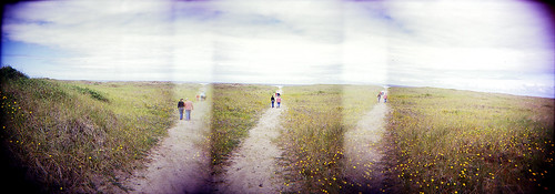
panorama beach ava mediumformat holga dunes longbeach elaine russ beachhouse
dunes panorama
geotagged geo:dir=3545 geo:lat=465993333333333 geo:lon=1238975
19314.jpg
geotagged geo:dir=17 geo:lat=466331666666667 geo:lon=123929
19243.jpg
geotagged geo:dir=285 geo:lat=464206666666667 geo:lon=123937166666667
17989.jpg
geotagged geo:lon=123903 geo:lat=464916666666667 geo:dir=786
19512.jpg
geotagged geo:lon=123913666666667 geo:lat=466143333333333 geo:dir=2808
19299.jpg
geotagged geo:dir=2263 geo:lat=466156666666667 geo:lon=1239015
19279.jpg
geotagged geo:dir=391 geo:lat=466031666666667 geo:lon=123951
19422.jpg
geotagged geo:dir=3183 geo:lat=46656 geo:lon=1239115
19194.jpg
geotagged geo:dir=12 geo:lat=466328333333333 geo:lon=123930833333333
19246.jpg
geotagged geo:dir=1501 geo:lat=466276666666667 geo:lon=1239105
19260.jpg
geotagged geo:lat=464663333333333 geo:lon=123938166666667 geo:dir=368
19550.jpg
geotagged geo:lat=46605 geo:lon=123904 geo:dir=485
19307.jpg
geotagged geo:dir=68 geo:lon=123937666666667 geo:lat=46446
19610.jpg
geotagged geo:lat=46427 geo:lon=12392 geo:dir=3204
17953.jpg
PIX-IMG_6957HDTV-Test-g
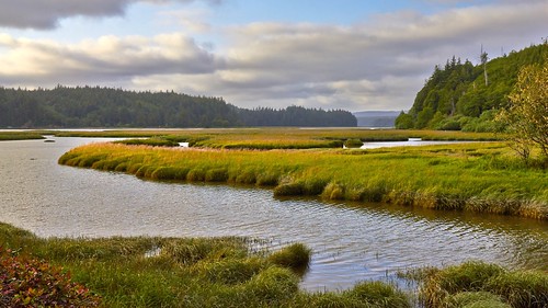
estuary landscape landscapephotography nature naturephotography niawiakumriver northamerica originalphotographers pacificcounty pacificnorthwest photooftheday photographersontumblr photography trees unitedstates usa washington washingtonstate water willapabay winter
Estuary, Niawiakum River Natural Area, Washington, Winter 2017
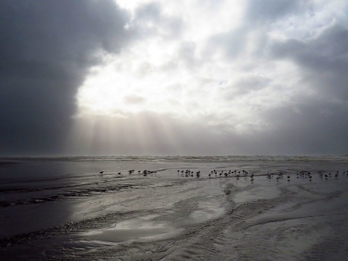
Just a stormy day at the beach!
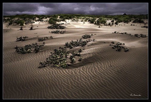
sun beach fog landscape washington sand bravo dunes dune longbeach sanddune klipsan klipsanbeach
Dunes #1 - Klipsan Beach, Washington
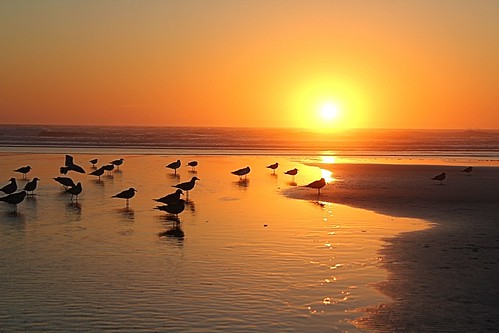
ocean sunset water birds sand pacificocean 366
366/250 - 9/6/12 - Sunset on the Pacific Ocean!
Loomis lake today
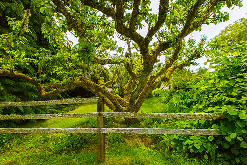
tree fence appletree pacificcounty longbeachpeninsula oystervillewa
Apple Tree
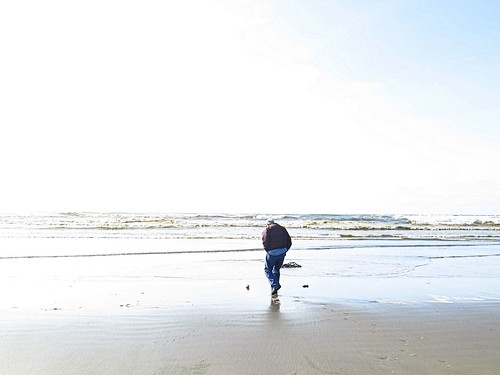
ocean beach water washington sand highkey odc1
365/77 - 3/18/13 - HIGH KEY is the topic for Monday 18th March 2013
365/53 - 2/22/13 - Fun stormy day at the beach!
On the flats
On the flats
smcpm135mmf35
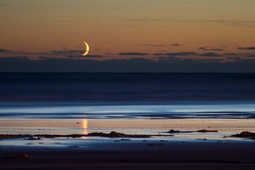
Crescent Moonset
year2013 continentnorthamerica countryunitedstates statesuswashington quadrantsouthwest regionuswalongbeachpeninsula cityuswaoysterville parknationalhistoricplaceuswaoysterville day182of366june30th set2013uswashington trip2013uswashingtonlongbeach
20130630-036
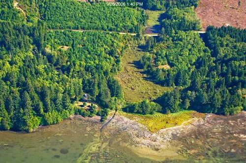
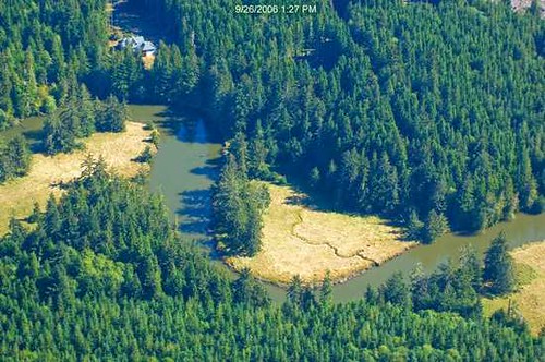
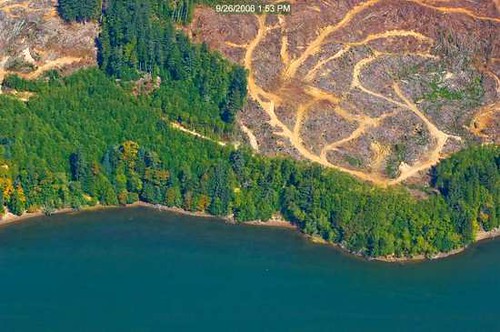
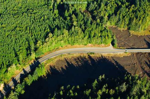
washington aerial wa willapabay leadbetterpoint
41 or 247 Willapa - Leadbetter Point
ocean sunset water waves 366
366/245 - 9/1/12 - Almost gone!
uploaded:by=flickrmobile flickriosapp:filter=nofilter
Long Beach
geotagged geo:lon=1240435 geo:lat=466253333333333 geo:dir=289
18312.jpg
landscape landscapephotography nature naturephotography northamerica originalphotographers pacificcounty pacificnorthwest photooftheday photographersontumblr photography unitedstates usa washington washingtonstate willapabay winter
Coastline, Nemah Road, Willapa Bay, Washington, Winter 2017