Elevation of Oxford Rd, Calne SN11 8AQ, UK

Location: United Kingdom > Wiltshire >

Longitude: -1.9987646

Latitude: 51.4429251

Elevation: -10000m / -32808feet

Barometric Pressure: 295KPa

Elevation Map:

elevation map of Oxford Rd, Calne SN11 8AQ, UK

Satellite Map:

Satellite map of Oxford Rd, Calne SN11 8AQ, UK

Related Photos:

wiltshire downs cattle livestock bullock young animal hill grass grazing bush landscape milk
Growing up on Milk Hill
landscape roundway hill ridgeway tree plantation flower plant cowparsley farm field oilseed rape cereal grass shrub sky devizes wessex wiltshire england
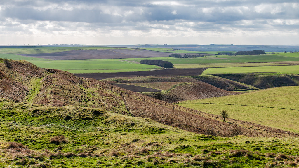
View from the Wessex Ridgeway
wiltshire pewsey downs hill grass field landscape aonb northwessex areaofoutstandingnaturalbeauty tree sky
Pewsey Downs
uk sunset red england orange home countryside swindon colourful wiltshire brittain wroughton greatbrittain creativemindsphotography elcombe drewnicoll
Elcombe, Wroughton.jpg
silburyhill westkennetlongbarrow westkennet ancientlandscape rituallandscape aveburycomplex petermiles petermiles pentaxk5ii tamronaf70300mmf456ldmacro12 landscape wiltshire
'A Ritual Landscape' (see description)
cherhill downs wiltshire oldbury monument landscape panorama hill valley sky grass field earth photomerge
Cherhill Down from the Wessex Ridgeway
trees tree nature yew 1700yearoldyewtree yewtree ancient altonpriors wiltshire england uk treemendoustuesday htmt
Second View Of The 1700 Year Old Yew Tree
uk texture abbey textures wiltshire textured lacock photomix bestevercompetitiongroup bestevergoldenartists creativephotocafe
Lacock Abbey, rear view
red england vintage fire bestviewedlarge british fireengine wiltshire leyland firebrigade 2015 fireservice emergencyservices capehillbrewery dha555
We didn't start the fire
devizes wiltshire england greatbritain uk maryportstreet shop empty passersby town 201605302756101crop
Handstand walking
cropcircle crop circle djimavicpro hackpenhillcropcircle cropcirclehackpenhill2018 cropcircle2018 petermiles
‘Temporary Golden Temple’ (see description)
sun field clouds hill tracks crop wiltshire cherhill pentaxk5
Cherhill tracks
lacock wiltshire england gb church kirche history
Lacock Church viewed from Lacock Abbey Garden (explored)
avebury aveburymanor england greatbritain nationaltrust uk wiltshire travel cotswoldsalbum
A view from Avebury Manor, Wiltshire
grass natural color calm peaceful nature panorama trees plant tree photography sky wallart geotagged photo yellow tranquil prints landscape country plants mountain european mountains view gold landscapes outdoor outside clouds scenic countryside fineart colorful scenery print travel cloud outdoors depth colors green photograph europe horizontal field onsale
Pewsey Downs - Wiltshire, England - Fine art photography
red orange hot leave texture hammer century canon john bench private table eos bill iron hand weld flames 18th explore axe nordic blacksmith forge tongs hook parkbench wiltshire sparks commission beavis anvil intersting wrought forging explored billhook dauntsey 400d fireweld olivemead forgejohn
nature reserve bench
britishrail beyerpeacock hymek class35 d7002 dieselhydraulic freight chippenham train railway locomotive railroad wiltshire
c.1969 - Chippenham, Wiltshire.
britishrail beyerpeacock hymek class35 d7002 dieselhydraulic freight chippenham wiltshire train railway locomotive railroad
c.1969 - Chippenham, Wiltshire.
avebury wiltshire stones sunset sky stonehenge pagan ridgeway uk england nationaltrust
Sunset, Avebury, Wiltshire
britishrail class52 western cc d1072 westernglory dieselhydraulic freight chippenham wilts train railway locomotive railroad
c.1970 - Chippenham, Wiltshire.
100views blueribbonwinner flickraward rubyphotographer grouptripod
Me! Me! Me! Pick Me!
avebury stonecircle henge sarsen standing neolithic wiltshire england uk ancient monument pagan bank field outdoor archaeology
Avebury World Heritage Site
hillfort oldbury castle landscape cherhill downs calstone wessex aonb wiltshire ditch hill grass field tree sky
Oldbury Castle hill fort
avebury neolithic monument henge
Avebury Village.jpg
westkennetavenue avebury sigma35mmf14dghsmart pentaxk3ii petermiles petermiles neolithic
'The Avenue at Dusk' (see description)
hills wiltshire ridgeway marlboroughdowns hackpenhill landscapecloudsstormysky
Hackpen Hill< Marlborough Downs
westkennett england unitedkingdom gb sunset grass scenery beautiful countryside wiltshire canon rural stunning sky clouds peach blue green
West Kennett Long Barrow, Wiltshire, England
landscape england unitedkingdom
Misty Winter Morning
harvest haybale pattern bales bundles round farm
Hay bale
harvest line pattern
Birds with hay bales in the farm.
devil den dolmen burial stone standing capstone rock sarsen sandstone ancient antiquity remains landscape grass field earth barn fence sky fyfielddown hill marlborough wiltshire
Devil's Den
oliverscastle ironage hillfort siteofbattle bank earthwork ditch grass tree fence sky landscape wiltshire roundway hill
Nearly at the top!
avebury stone circle neolithic monument
Avebury Stone.jpg
landscape panorama oliverscastle castle fort hillfort ironage grass field green wiltshire devizes patchwork
Shades of green
landscape panorama wiltshire wessex aonb unesco barrow burial archaeology field tree misty sky autumn
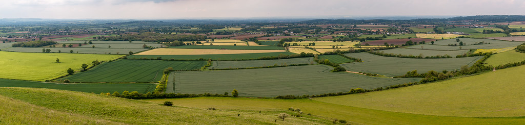
North Wessex AONB panorama
daisies field landscape silbury hill ancient neolithic avebury beckhampton unesco wiltshire uk sky pub inn beer garden aonb areaofoutstandingnaturalbeauty
Daisy field and Silbury Hill
avebury stone circle standing henge wiltshire england archaeology neolithic megalithic grass field tree bank landscape
Avebury Stone Circle
agriculture farm hedge tree flower rape cereal grass plant cowparsley hawthorn blossom sky wiltshire landscape yellow white green
Wiltshire farmland