Elevation of Cherhill White Horse, Calne SN11 8XY, UK

Location: United Kingdom > Wiltshire > Cherhill >

Longitude: -1.9297636

Latitude: 51.4251829

Elevation: 229m / 751feet

Barometric Pressure: 99KPa

Elevation Map:

elevation map of Cherhill White Horse, Calne SN11 8XY, UK

Satellite Map:

Satellite map of Cherhill White Horse, Calne SN11 8XY, UK

Related Photos:

grass natural color calm peaceful nature panorama trees plant tree photography sky wallart geotagged photo yellow tranquil prints landscape country plants mountain european mountains view gold landscapes outdoor outside clouds scenic countryside fineart colorful scenery print travel cloud outdoors depth colors green photograph europe horizontal field onsale
Pewsey Downs - Wiltshire, England - Fine art photography
sainfoin flower poppy field hill tree hillfort wiltshire landscape roundway northwessexdowns aonb onobrychisvicifolia
Sainfoin and landscape view on Roundway Hill
wiltshire ridgeway westkennet avenue avebury landscape northwessexdowns aonb unesco worldheritagesite
North Wessex Downs landscape in Wiltshire
littleowl wild wildlife wiltshire
... Pocket size ...
landscape milkhill cliffordshill pewseydowns valeofpewsey farming field sky sport parascending canopy sail hillside wind uplift updraft
Landscape view from Milk Hill
wiltshire downs cattle livestock bullock young animal hill grass grazing bush landscape milk
Growing up on Milk Hill
ridgeway smeathesridge northwessex aonb landscape autumn trees woodland wiltshire
Ridgeway view
landscape roundway hill ridgeway tree plantation flower plant cowparsley farm field oilseed rape cereal grass shrub sky devizes wessex wiltshire england
View from the Wessex Ridgeway
ridgeway smeathesridge northwessexdowns aonb wiltshire landscape valley road jumps trees woodland sky
View from Smeathe's Ridge
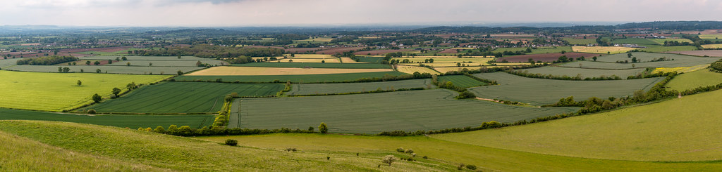
wiltshire landscape roundway field farm vista hill
Wiltshire fields
canal waterway water winter caen locks landscapes
Taking in the view
landscape panorama oliverscastle castle fort hillfort ironage grass field green wiltshire devizes patchwork
Shades of green
uk sunset red england orange home countryside swindon colourful wiltshire brittain wroughton greatbrittain creativemindsphotography elcombe drewnicoll
Elcombe, Wroughton.jpg
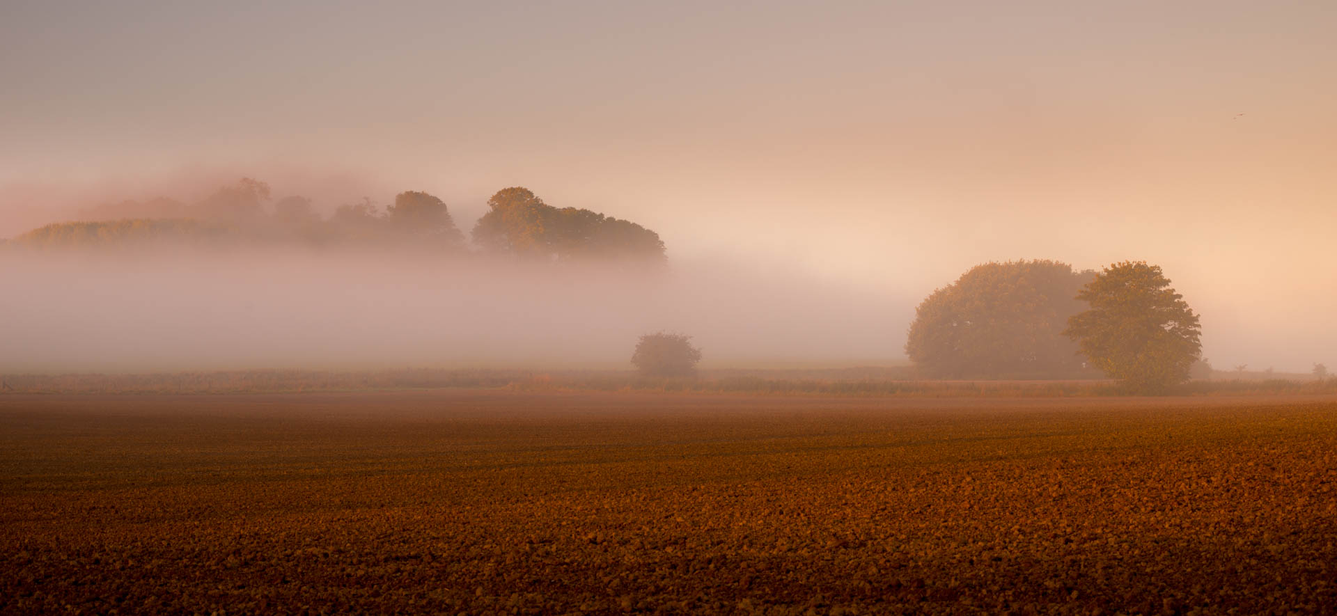
avebury aveburystones mistymorning lowsunlight frostymorning frost sunrise
Walker in The Mist
wiltshire pewsey downs hill grass field landscape aonb northwessex areaofoutstandingnaturalbeauty tree sky
Pewsey Downs
silburyhill westkennetlongbarrow westkennet ancientlandscape rituallandscape aveburycomplex petermiles petermiles pentaxk5ii tamronaf70300mmf456ldmacro12 landscape wiltshire
'A Ritual Landscape' (see description)
cherhill downs wiltshire oldbury monument landscape panorama hill valley sky grass field earth photomerge
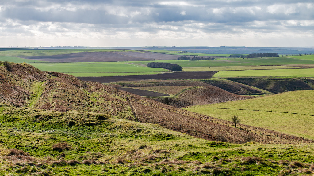
Cherhill Down from the Wessex Ridgeway
avebury stonecircle wiltshire standing stone grass field ancient english heritage nationaltrust building megalithic tree sky landscape neolithic bronzeage
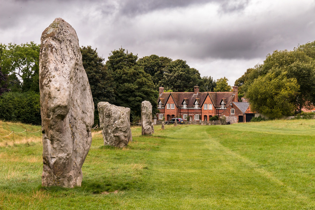
Avebury stone circle
fences skys posts grass blackandwhite monochrome
Fence Line to the Summit.
harvest line pattern
Birds with hay bales in the farm.
barburycastle england wiltshire countryside differentialfocus fields flower flowers grasses green hedgerows landscape nature outdoors plant poppies poppy purple red ruralscene shallowdepthoffield thistles view wildflowers
Wild Wiltshire
avebury stonecircle henge sarsen standing neolithic wiltshire england uk ancient monument pagan bank field outdoor archaeology
Avebury World Heritage Site
sunrise wiltshire pewseyvale martinsellhill
The dawn of time
meadowpipit anthuspratensis pipitsandwagtails motacillidae nature birds outdoor wildlife countryside songbird animal
Meadow Pipit
avebury neolithic monument henge
Avebury Village.jpg
texture field barley landscape
Fields of Gold
avebury wiltshire uk sunset standing stone prehistoric site andreapucci
Le pietre misteriose / The mysterious stones (Avebury, Wiltshire, United Kingdom)
hills wiltshire ridgeway marlboroughdowns hackpenhill landscapecloudsstormysky
Hackpen Hill< Marlborough Downs
meadow agriculture menhir sarsenstone flowers gate yellow green contrast uk england wiltshire avebury nationaltrust walking fz200 rapeseedfield standingstone
Landscape With Menhir [Explored]
hillfort oldbury castle landscape cherhill downs calstone wessex aonb wiltshire ditch hill grass field tree sky
Oldbury Castle hill fort
silbury hill landscape wiltshire grass field tree ancient prehistoric monument flower unesco
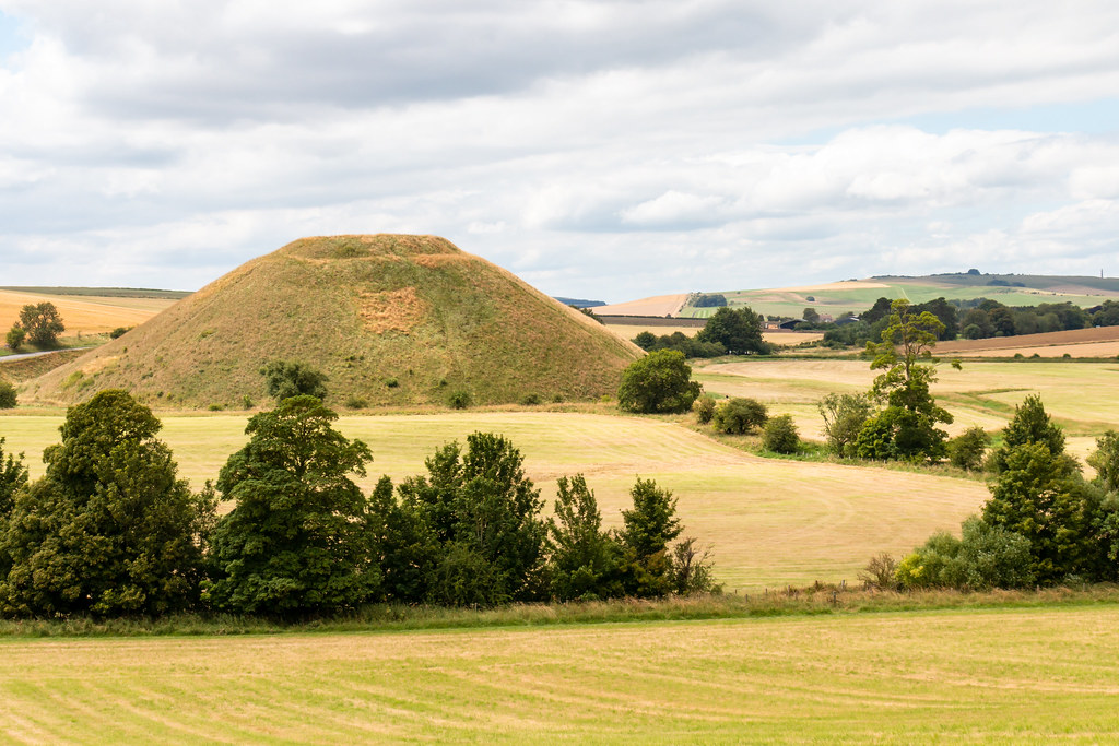
Silbury Hill after haymaking
wiltshire landscape northwessex aonb convergence leadinglines vanishingpoint byway field barley tree worldheritagesite avebury barrow pastoral unesco
Convergence on a Wiltshire Byway
avebury neolithic henge monument
Avebury Neolithic henge monument.jpg
westkennett england unitedkingdom gb sunset grass scenery beautiful countryside wiltshire canon rural stunning sky clouds peach blue green
West Kennett Long Barrow, Wiltshire, England
banbury castle wiltshire uk england english heritage historic phantom frone hill fort
Barbury Castle
harvest haybale pattern bales bundles round farm
Hay bale
landscape england unitedkingdom
Misty Winter Morning
castle landscape nikon path swindon wiltshire ridgeway barbury d7100 silverefex
Ridgeway from Barbury Castle