Elevation of Ouachita Township, AR, USA
Location: United States > Arkansas > Hot Spring County >
Longitude: -92.877663
Latitude: 34.2307559
Elevation: 109m / 358feet
Barometric Pressure: 100KPa
Elevation Map:
Satellite Map:
Related Photos:
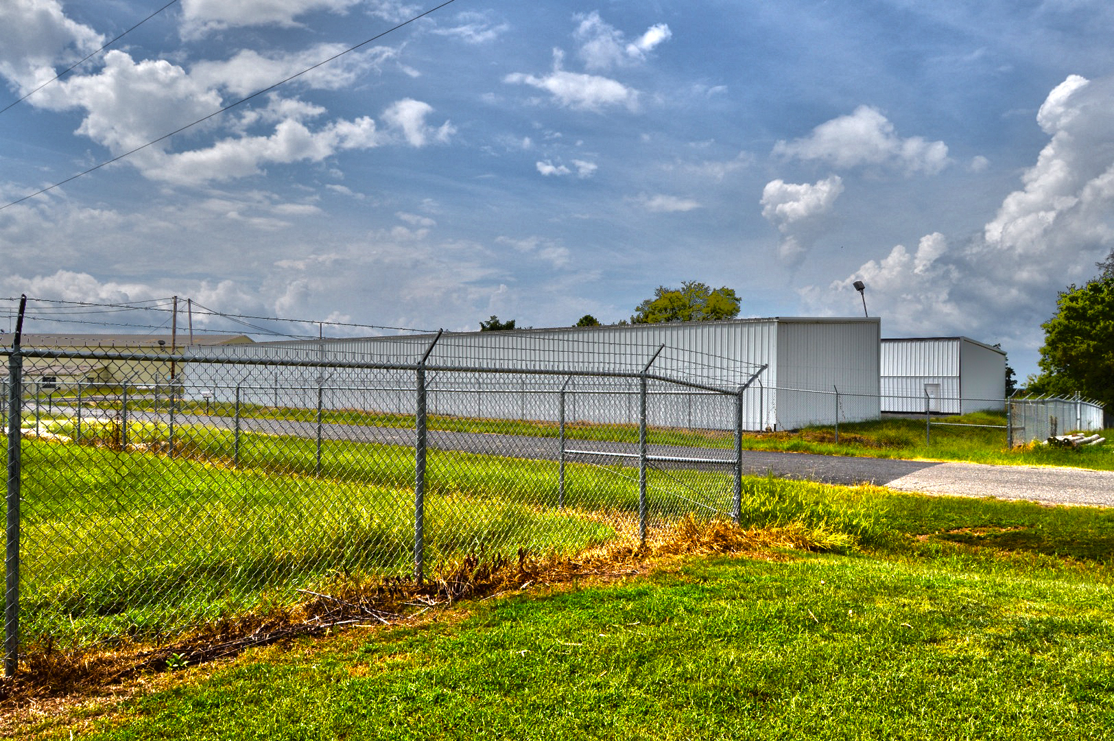
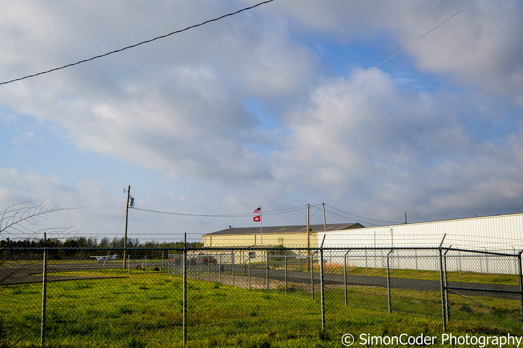
The Hangers

Hay field
IMG_7259 (2)

View askew office
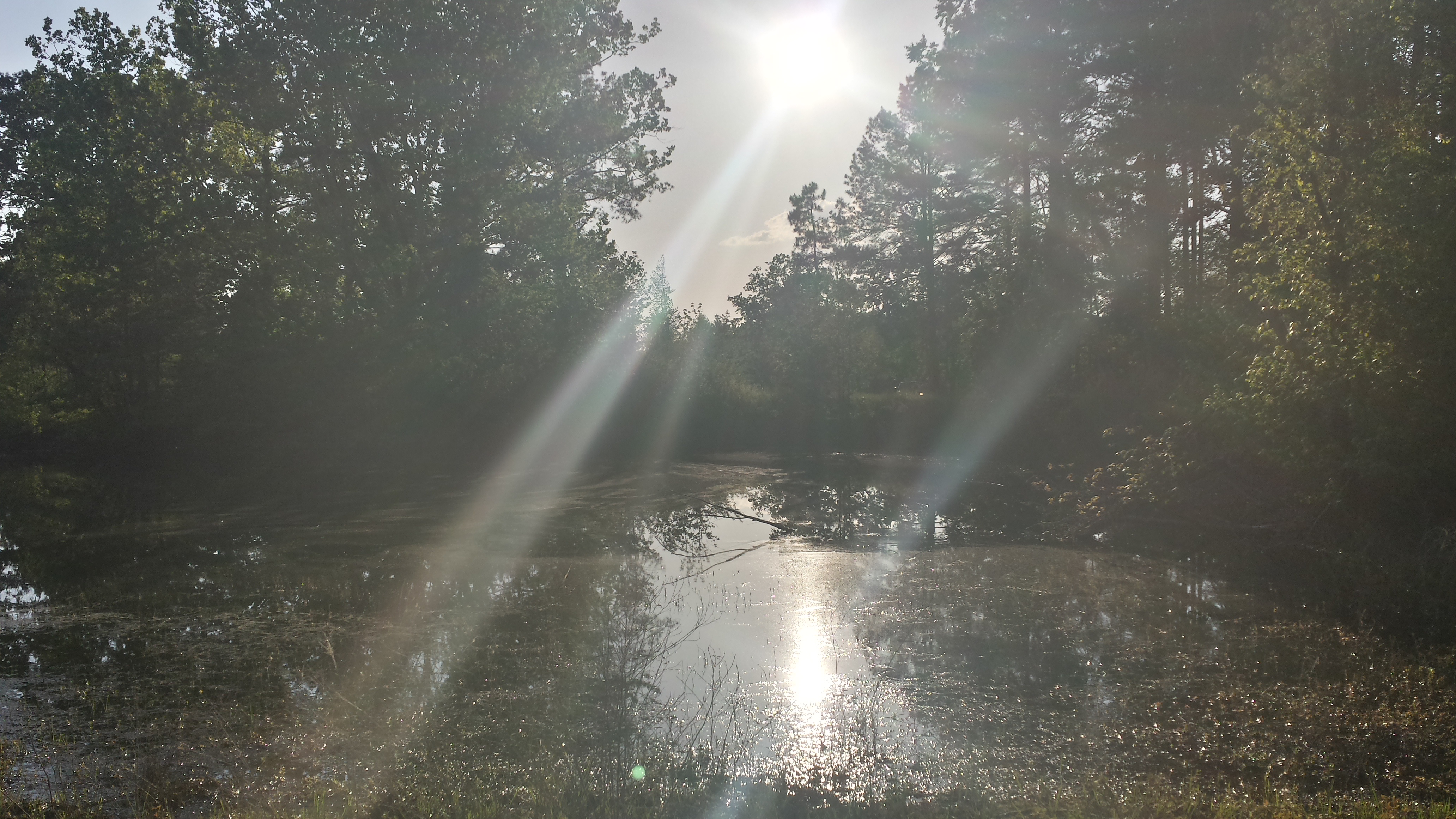
The old pond (HDR)

The old pond
aaajh444 001

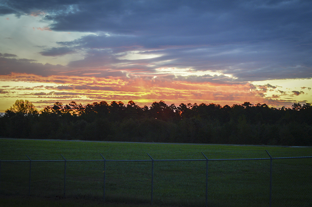
Nighttime barn
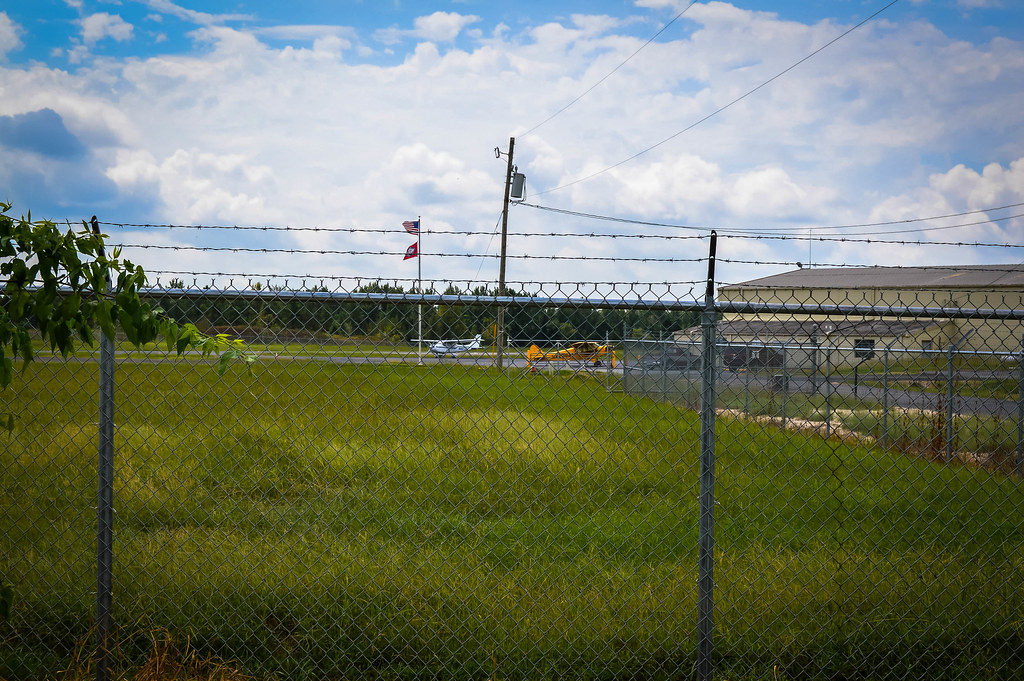
Cloudy at the Airport

IMG_0091.jpg
DSC_0968.jpg

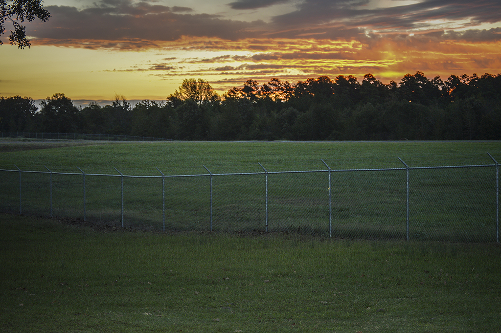
Sunrise 002SM

Sunrise 003SM

Sunrise 004SM

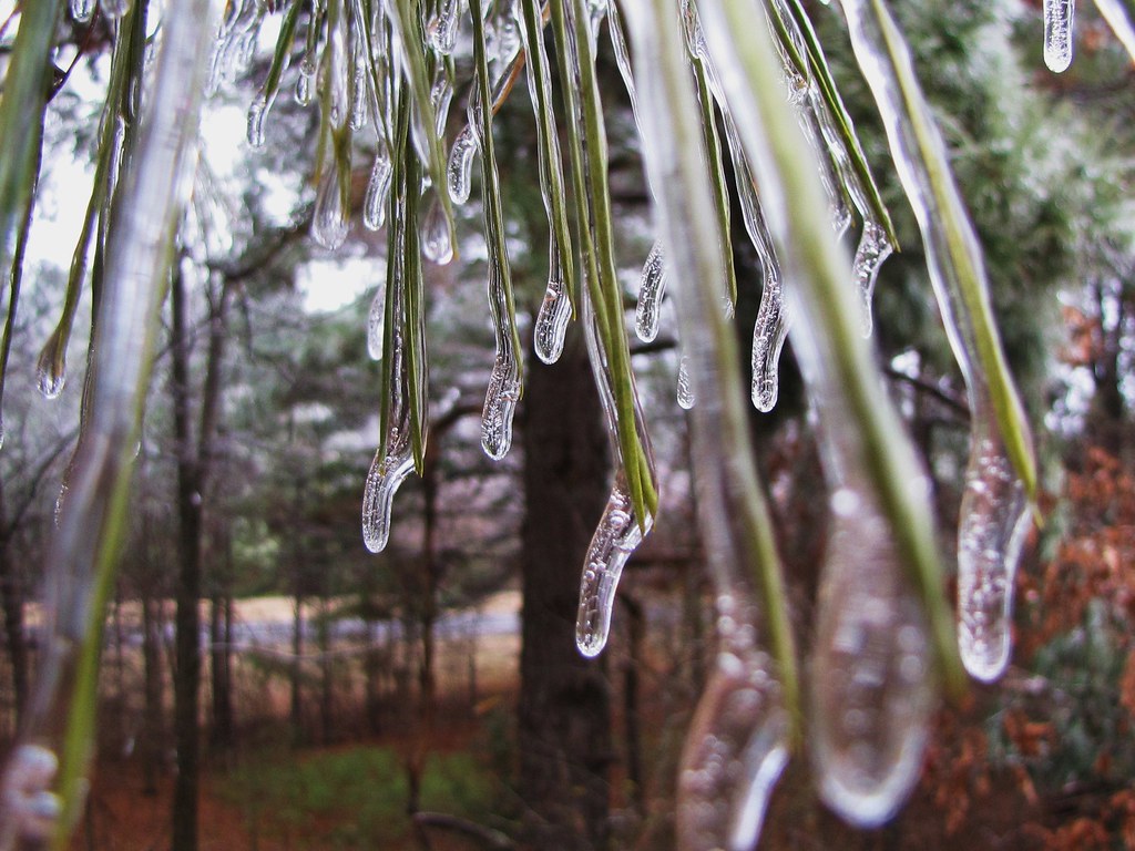
aaajh444 004
aaajh444 007

Starting to rain
Topographic Map of Ouachita Township, AR, USA
Find elevation by address:

Places in Ouachita Township, AR, USA:
Places near Ouachita Township, AR, USA:
Bryant Dr, Donaldson, AR, USA
Donaldson
AR-51, Donaldson, AR, USA
Brown Springs Township
Social Hill Loop, Malvern, AR, USA
Sticker Rd, Malvern, AR, USA
Witherspoon Rd, Arkadelphia, AR, USA
AR-51, Arkadelphia, AR, USA
Antioch Rd, Donaldson, AR, USA
Fenter Township
Malvern
Hot Spring County
6447 Ar-171
AR-51, Arkadelphia, AR, USA
Rockport
Manchester Township
AR-8, Arkadelphia, AR, USA
AR-7, Arkadelphia, AR, USA
Caddo Valley
Valley St, Caddo Valley, AR, USA
Recent Searches:
- Elevation of Corso Fratelli Cairoli, 35, Macerata MC, Italy
- Elevation of Tallevast Rd, Sarasota, FL, USA
- Elevation of 4th St E, Sonoma, CA, USA
- Elevation of Black Hollow Rd, Pennsdale, PA, USA
- Elevation of Oakland Ave, Williamsport, PA, USA
- Elevation of Pedrógão Grande, Portugal
- Elevation of Klee Dr, Martinsburg, WV, USA
- Elevation of Via Roma, Pieranica CR, Italy
- Elevation of Tavkvetili Mountain, Georgia
- Elevation of Hartfords Bluff Cir, Mt Pleasant, SC, USA