Elevation of Otter, MT, USA
Location: United States > Montana > Powder River County >
Longitude: -106.19992
Latitude: 45.2063858
Elevation: 1055m / 3461feet
Barometric Pressure: 89KPa
Elevation Map:
Satellite Map:
Related Photos:
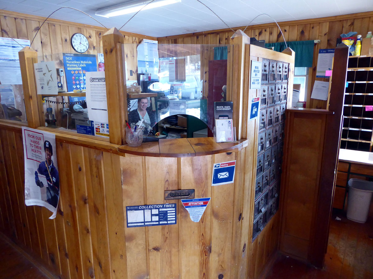
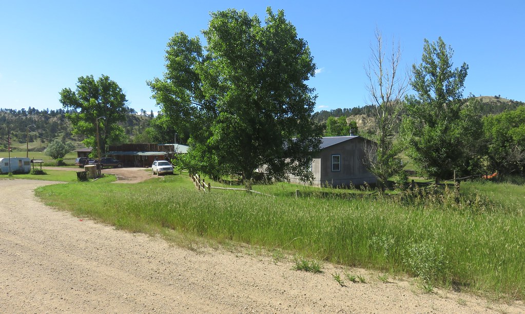
Otter, Montana 59062
Otter, Montana 59062
Custer National Forest Backroad
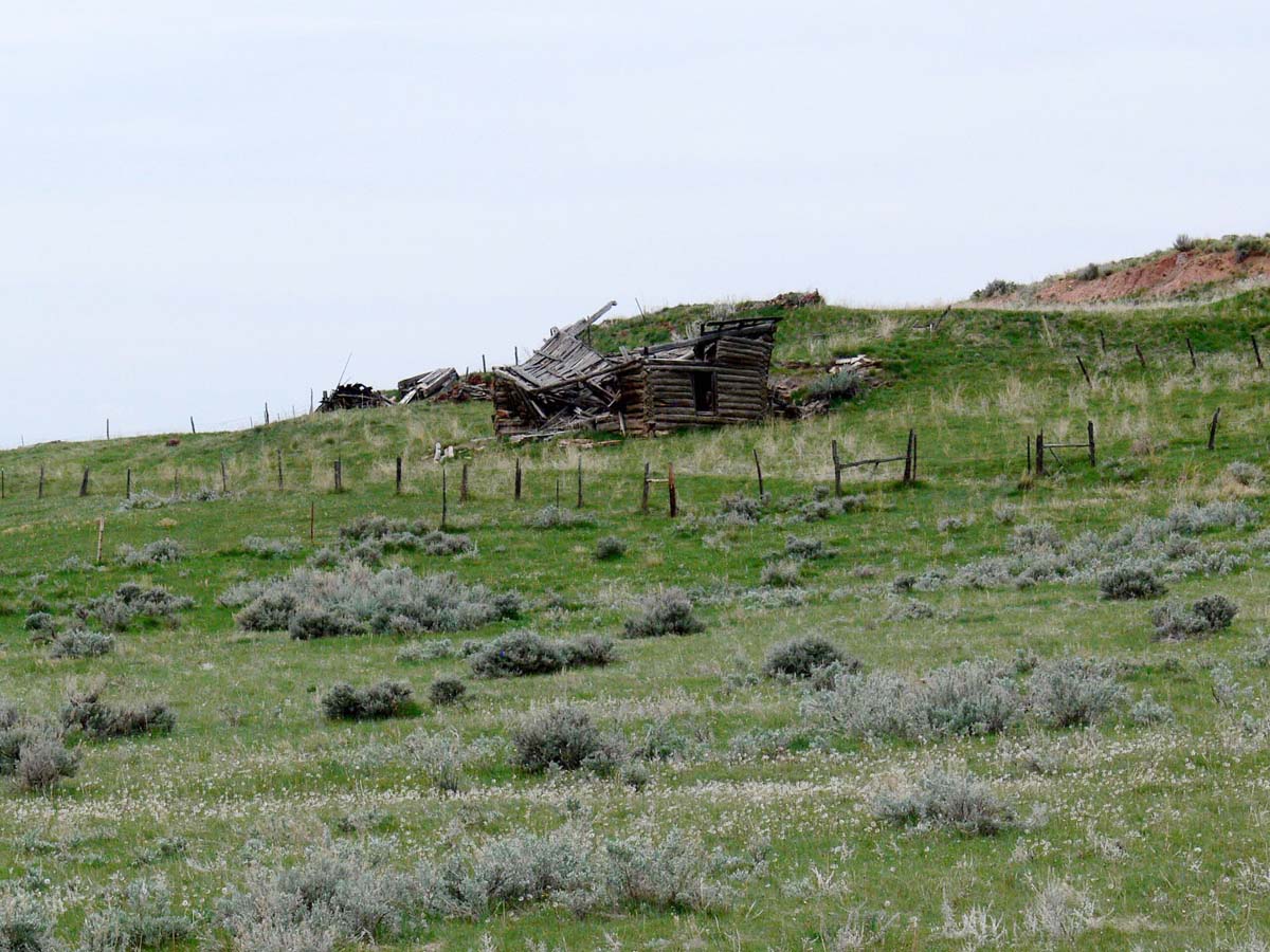
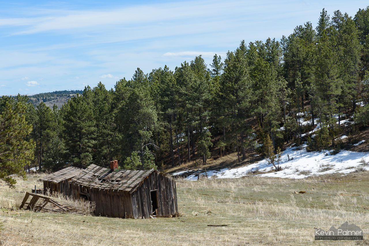
Quietus Shambles
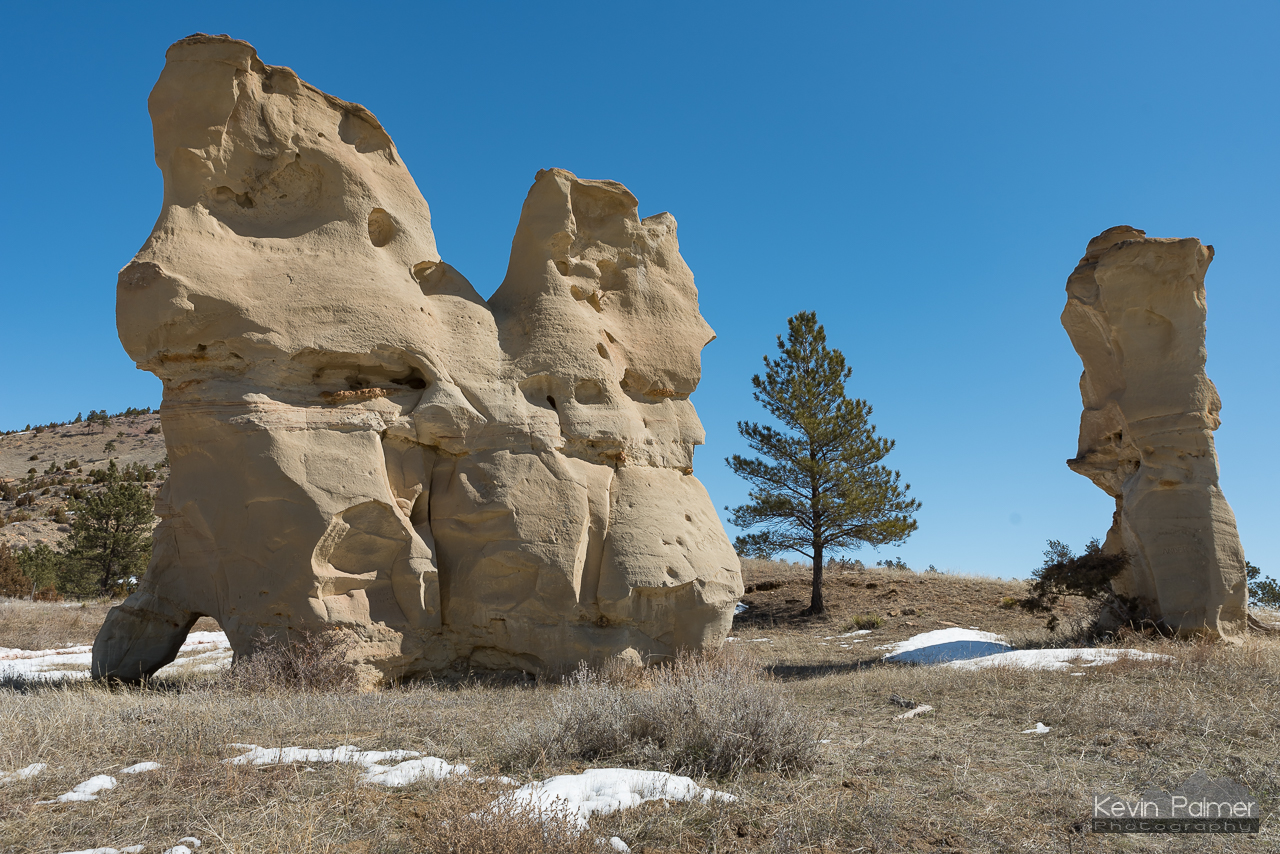
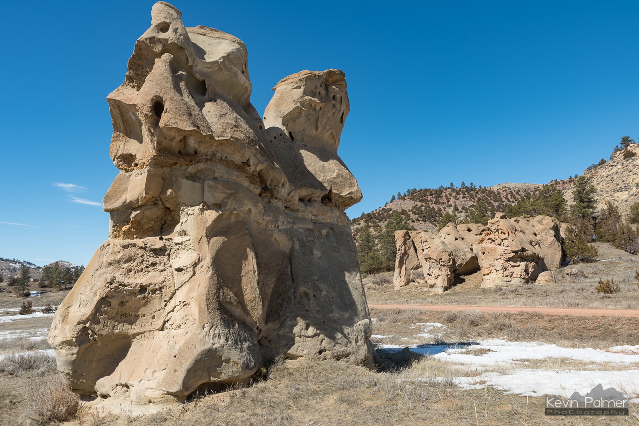
Turned to Stone
East of Quietus
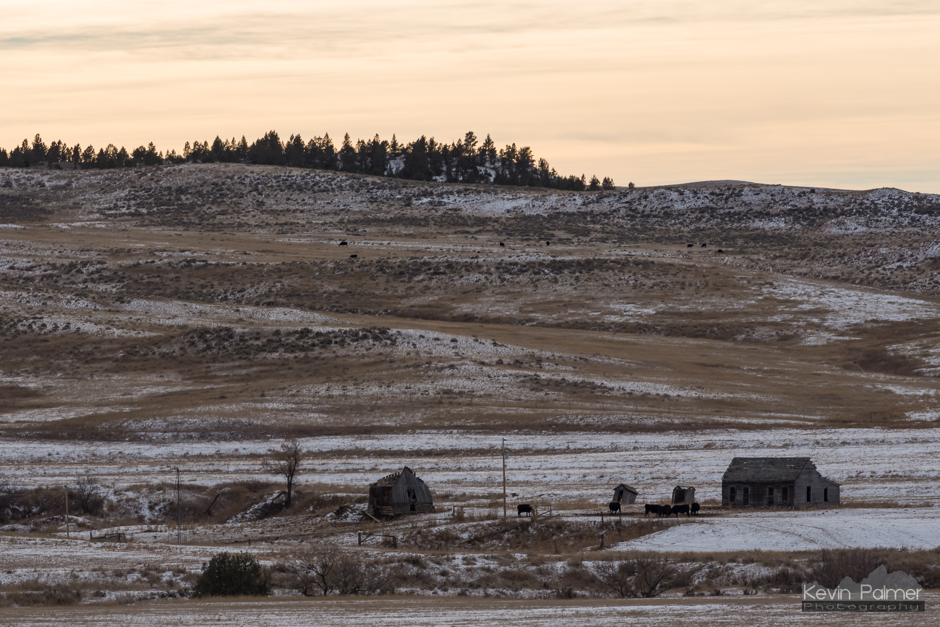
Quietus, Montana
Otter, Montana
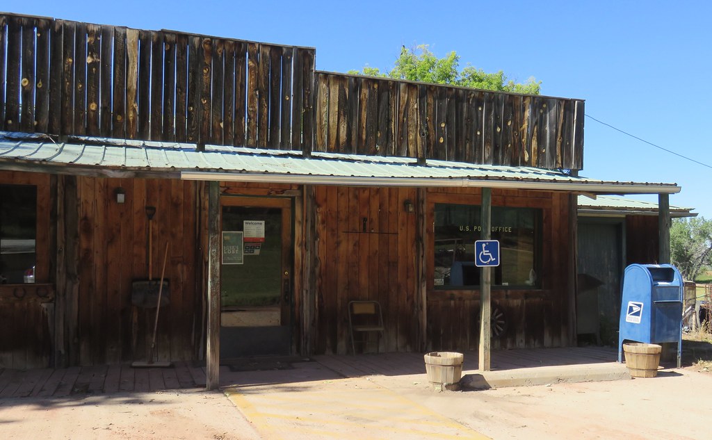
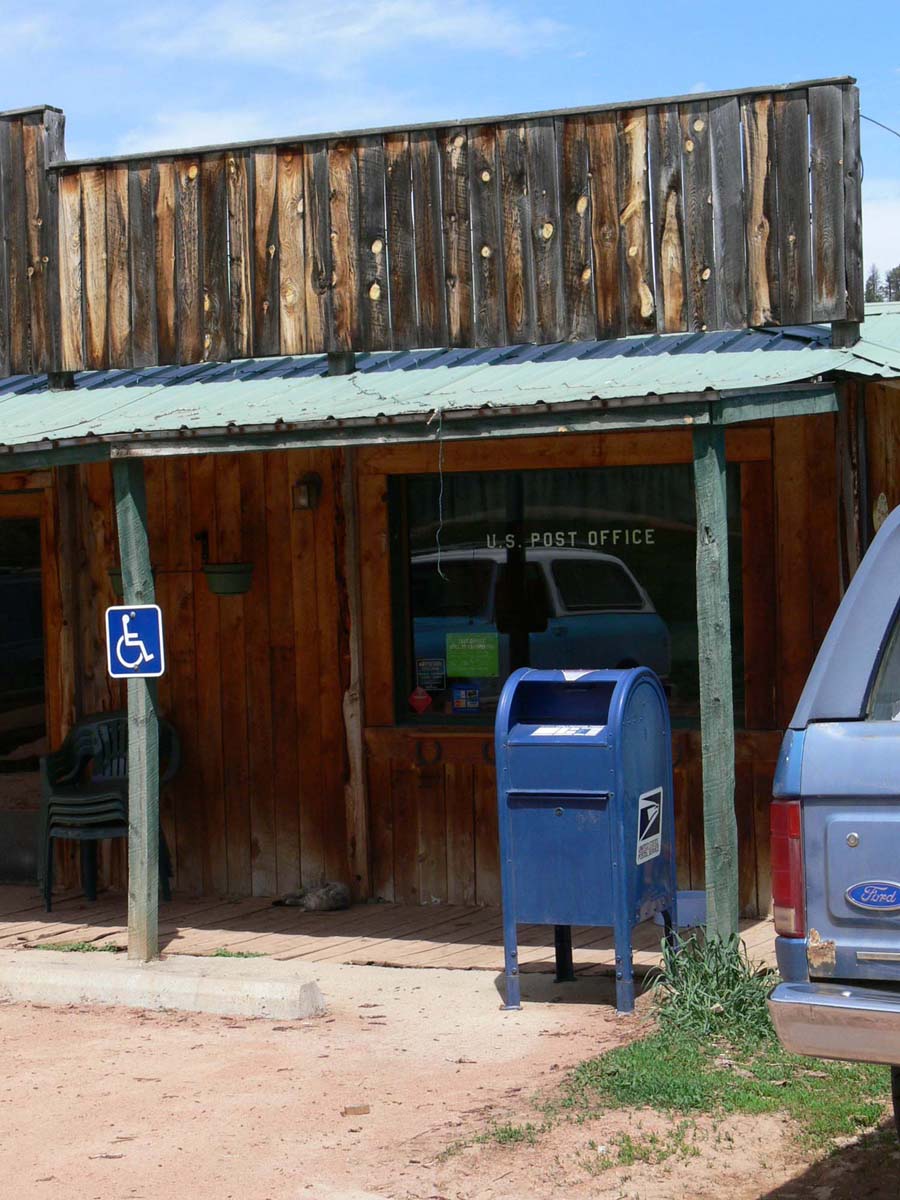
Post Office 59062 (Otter, Montana)
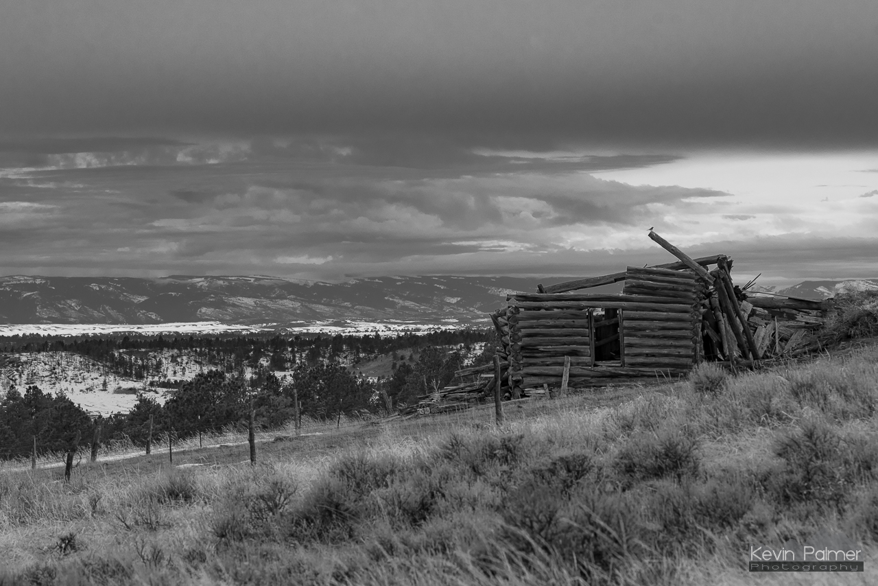
A Fixer Upper
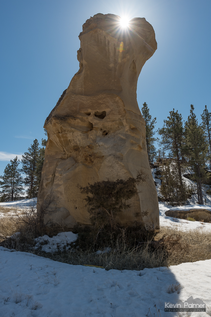
Pillar Sunburst

Under the Leaning Pine
Topographic Map of Otter, MT, USA
Find elevation by address:

Places near Otter, MT, USA:
Broadus, MT, USA
Lame Deer
Powder River County
580 Willow Ave
Colstrip
Montana 39
Montana 39
Pinebutte Dr, Colstrip, MT, USA
Rosebud
Custer County
Rosebud County
Recent Searches:
- Elevation of Corso Fratelli Cairoli, 35, Macerata MC, Italy
- Elevation of Tallevast Rd, Sarasota, FL, USA
- Elevation of 4th St E, Sonoma, CA, USA
- Elevation of Black Hollow Rd, Pennsdale, PA, USA
- Elevation of Oakland Ave, Williamsport, PA, USA
- Elevation of Pedrógão Grande, Portugal
- Elevation of Klee Dr, Martinsburg, WV, USA
- Elevation of Via Roma, Pieranica CR, Italy
- Elevation of Tavkvetili Mountain, Georgia
- Elevation of Hartfords Bluff Cir, Mt Pleasant, SC, USA