Elevation of Colstrip, MT, USA
Location: United States > Montana > Rosebud County >
Longitude: -106.62363
Latitude: 45.8841618
Elevation: 986m / 3235feet
Barometric Pressure: 90KPa
Elevation Map:
Satellite Map:
Related Photos:
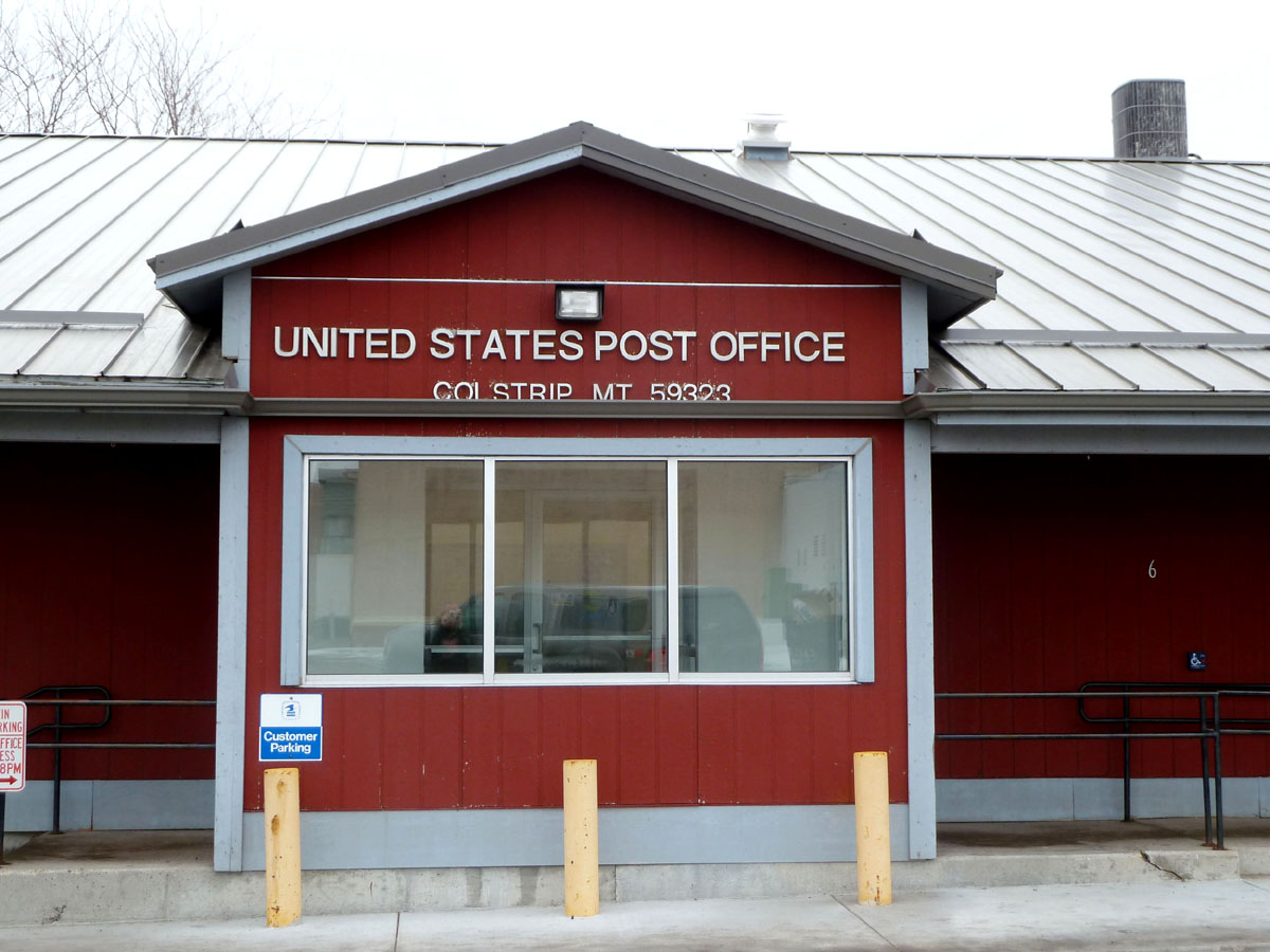
Colstrip, Montana 59323
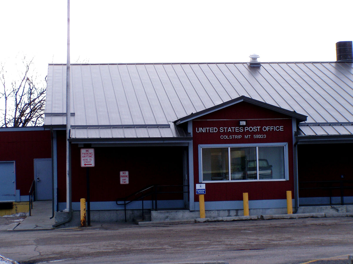
Colstrip, Montana 59323
rosebud creek montana

Sporobolus cryptandrus

Lee, Montana

restored pioneer post office, castle rock montana
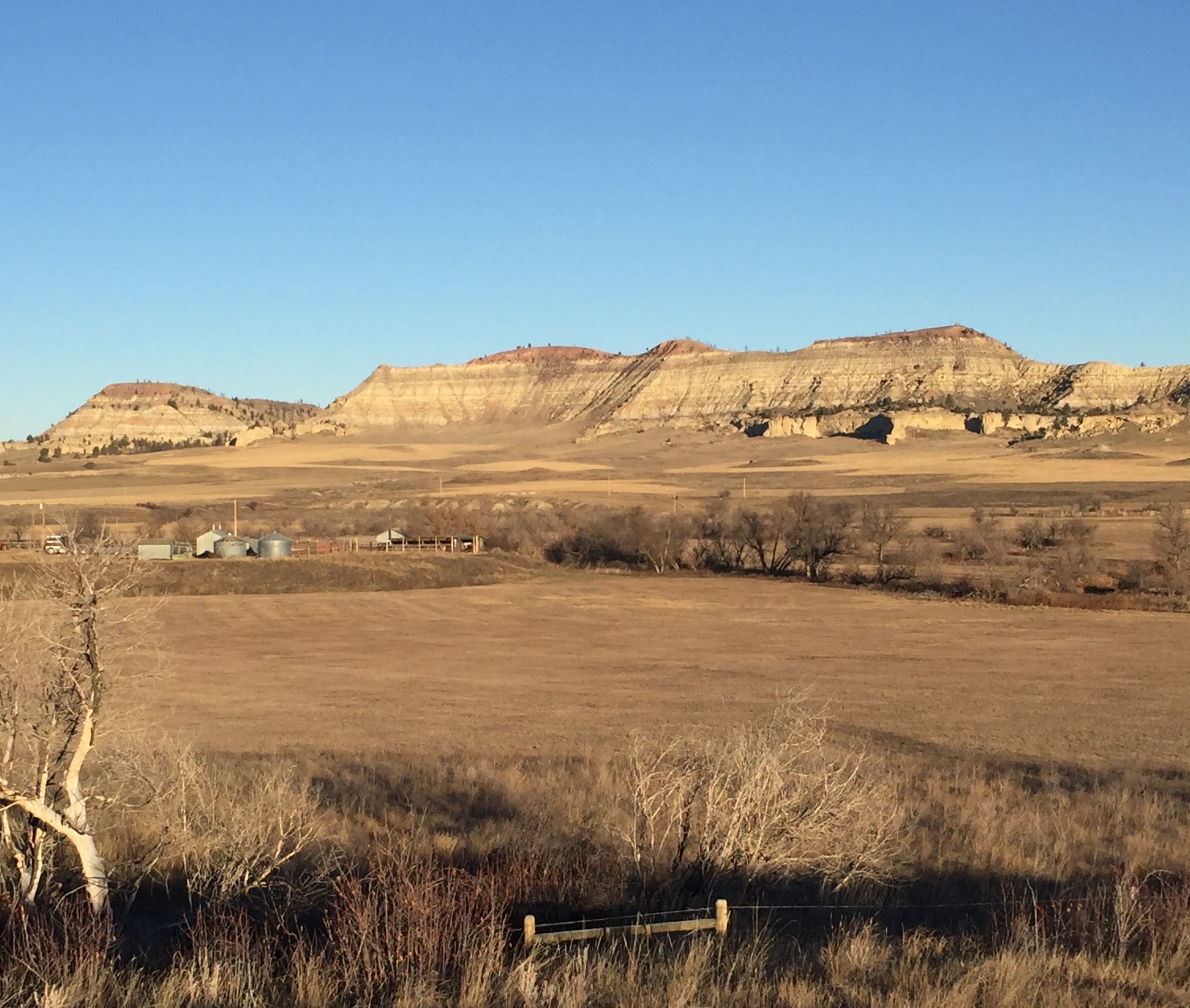
colstrip montana

Colstrip, MT
Topographic Map of Colstrip, MT, USA
Find elevation by address:

Places in Colstrip, MT, USA:
Places near Colstrip, MT, USA:
580 Willow Ave
Montana 39
Montana 39
Pinebutte Dr, Colstrip, MT, USA
Lame Deer
Rosebud
Rosebud County
Otter
Custer County
Broadus, MT, USA
Powder River County
Recent Searches:
- Elevation of Corso Fratelli Cairoli, 35, Macerata MC, Italy
- Elevation of Tallevast Rd, Sarasota, FL, USA
- Elevation of 4th St E, Sonoma, CA, USA
- Elevation of Black Hollow Rd, Pennsdale, PA, USA
- Elevation of Oakland Ave, Williamsport, PA, USA
- Elevation of Pedrógão Grande, Portugal
- Elevation of Klee Dr, Martinsburg, WV, USA
- Elevation of Via Roma, Pieranica CR, Italy
- Elevation of Tavkvetili Mountain, Georgia
- Elevation of Hartfords Bluff Cir, Mt Pleasant, SC, USA