Elevation of Osceola County, IA, USA
Location: United States > Iowa >
Longitude: -95.603746
Latitude: 43.3851953
Elevation: 477m / 1565feet
Barometric Pressure: 96KPa
Elevation Map:
Satellite Map:
Related Photos:

Iowa High Point View
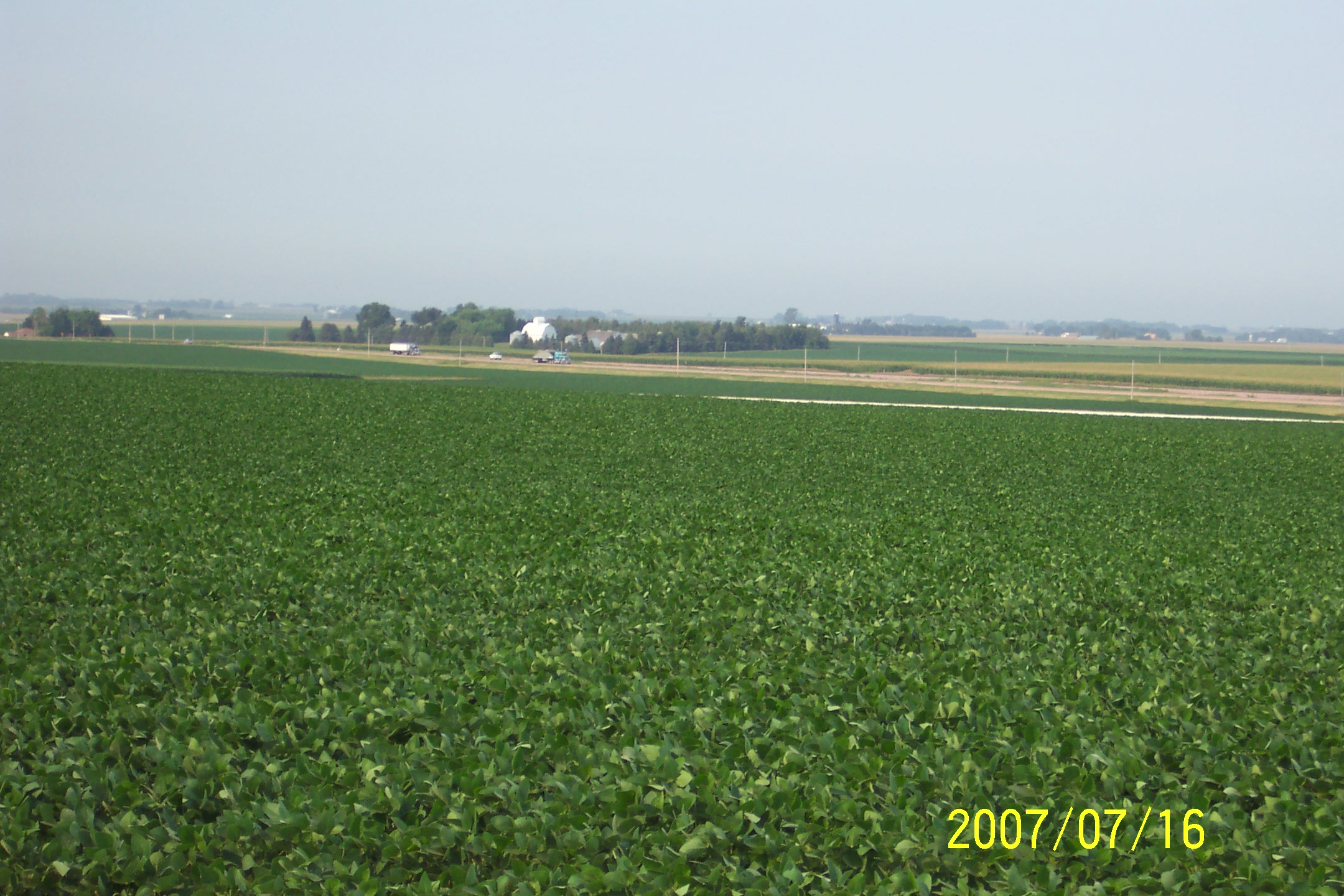
Hawkeye Point, Osceola County (Iowa), 16 July 2007
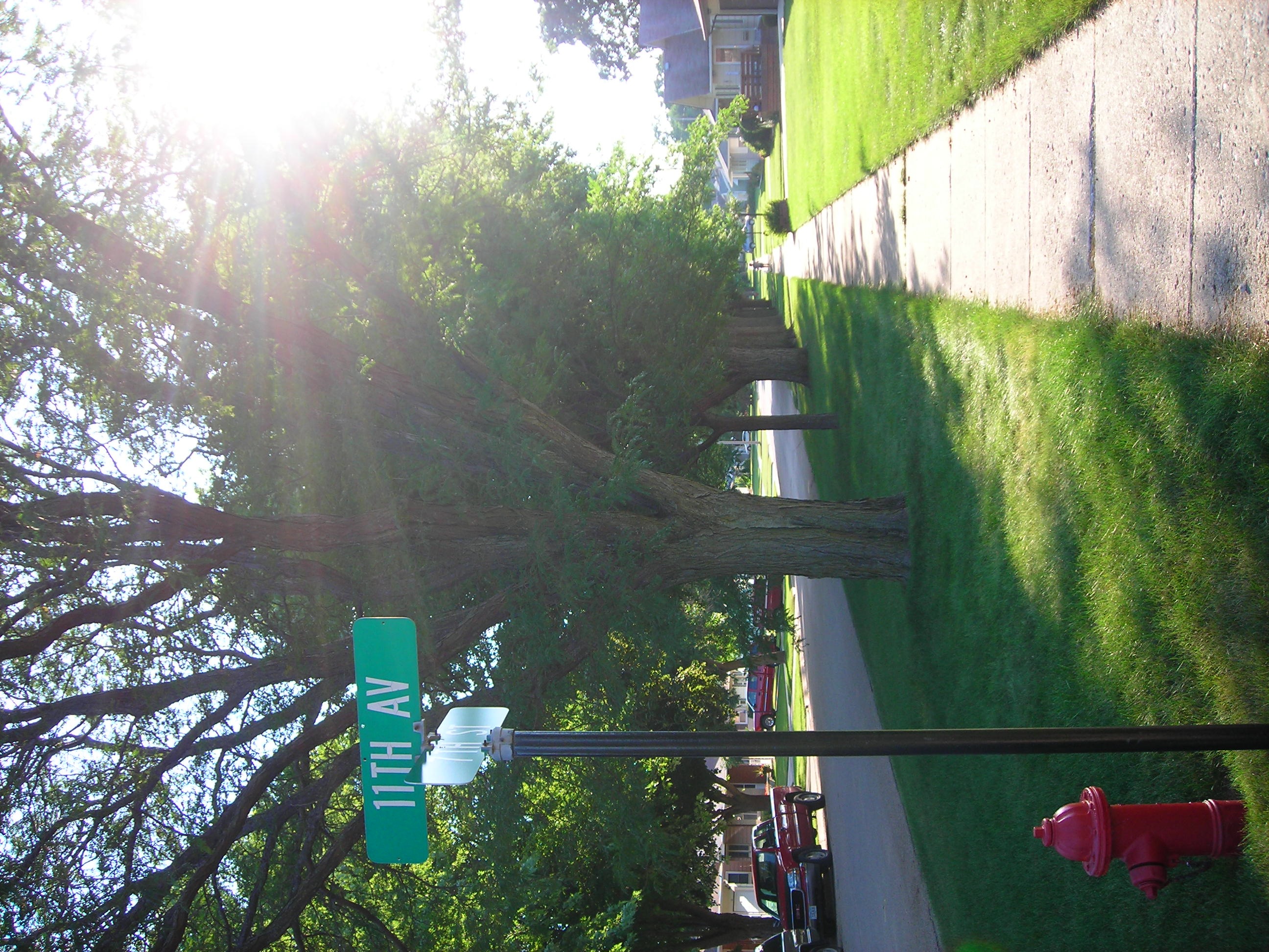
21/7/08
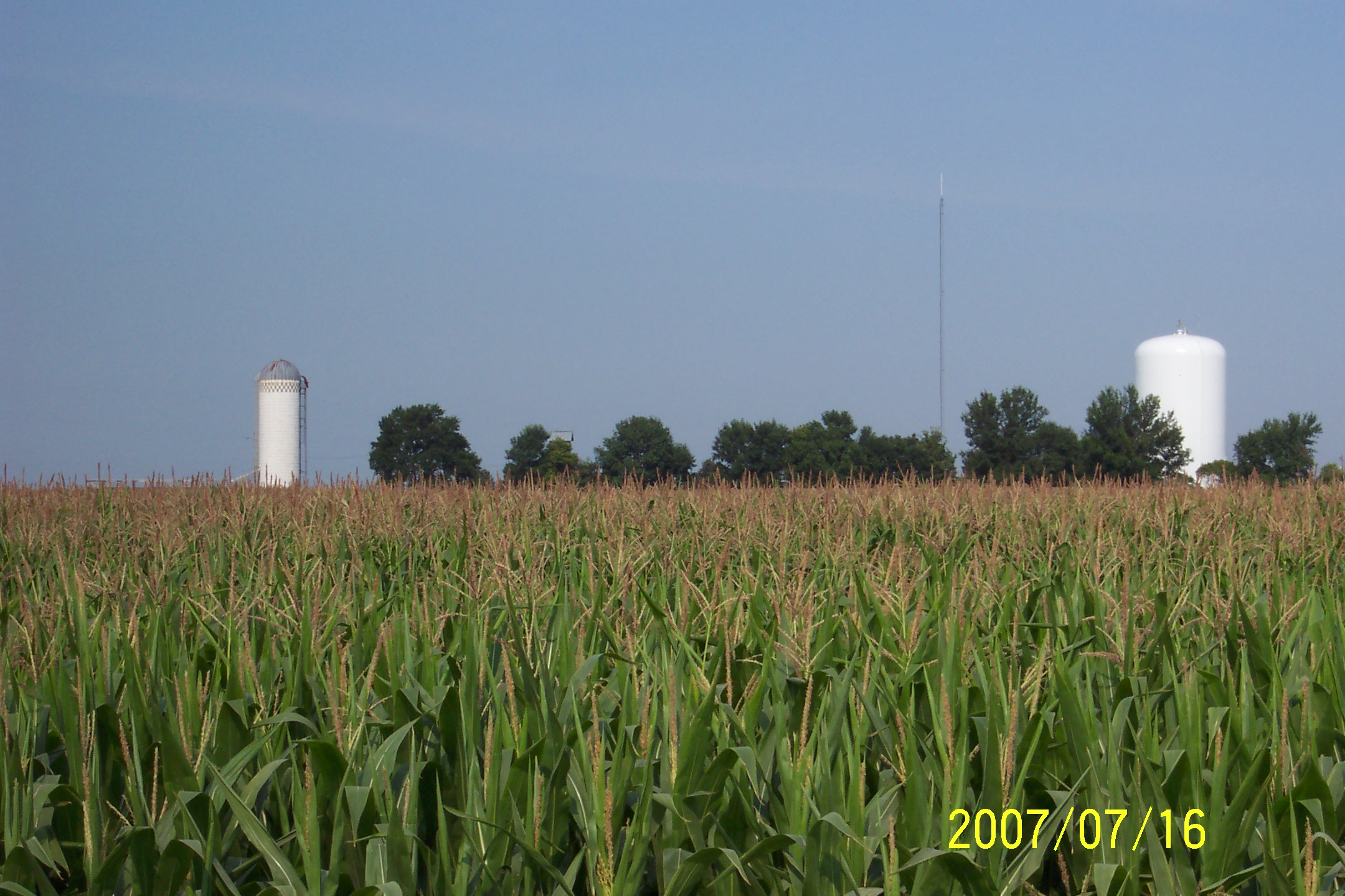
Hawkeye Point, Osceola County (Iowa), 16 July 2007

The Mailbox Shot
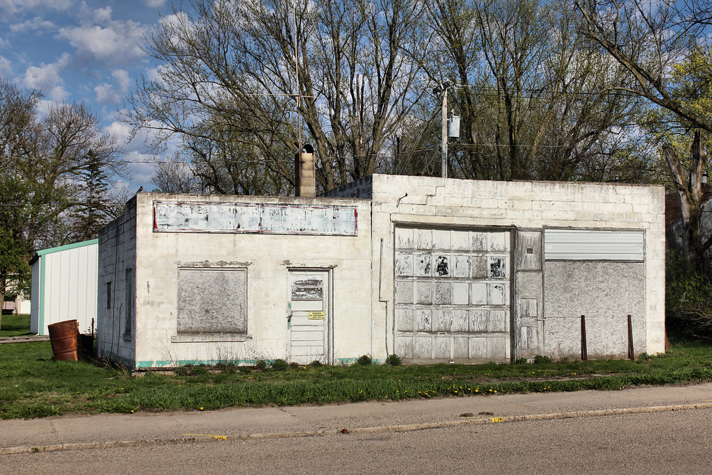
Gas Station - Ocheyedan, IA
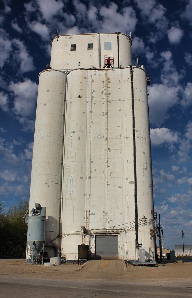
Grain Elevator - Ocheyedan, IA
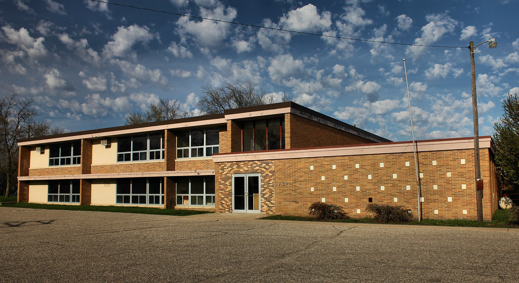
Public School - Ocheydan, IA
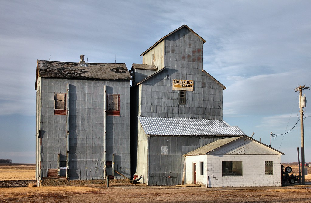
Grain Elevator - Cloverdale, IA
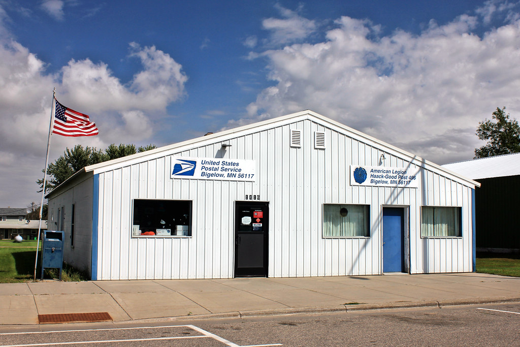
Post Office & American Legion Post 496 - Bigelow, MN
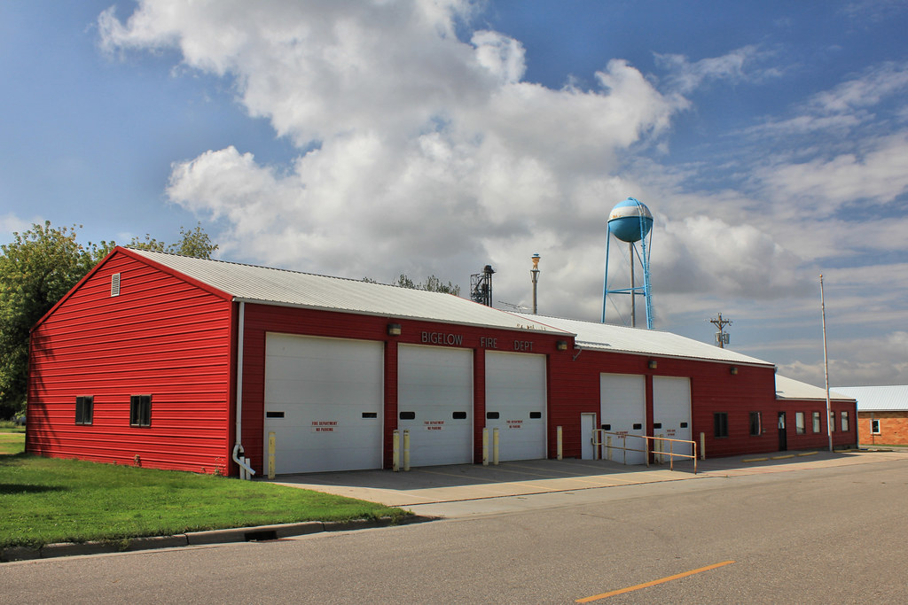
Fire Station - Bigelow, MN

Grain Elevator - Ocheyedan, IA
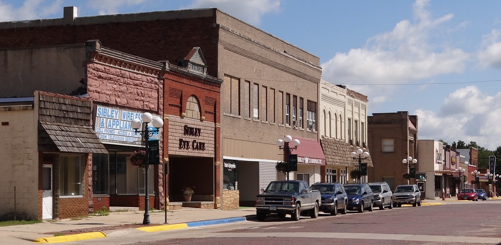
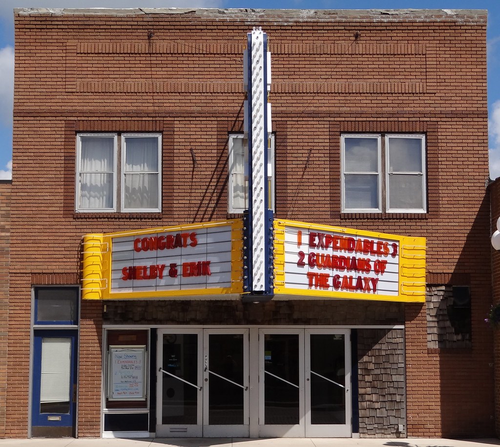
Downtown Sibley, IA
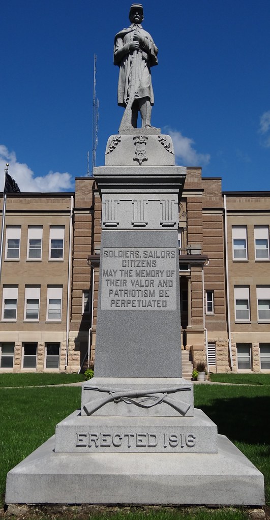
Union Sibley, IA3
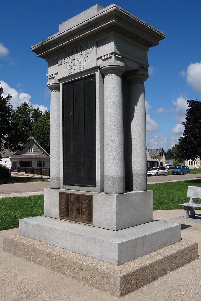
WWI Sibley, IA3
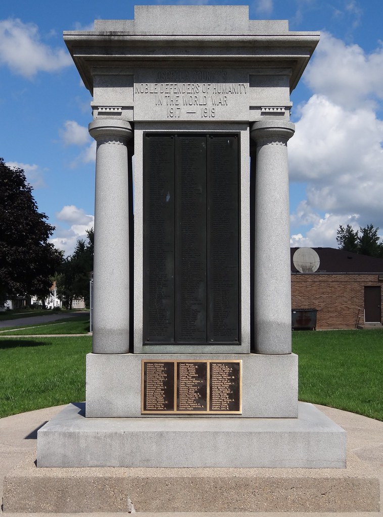
WWI Sibley, IA2
Max Sibley, IA4

Max Sibley, IA3
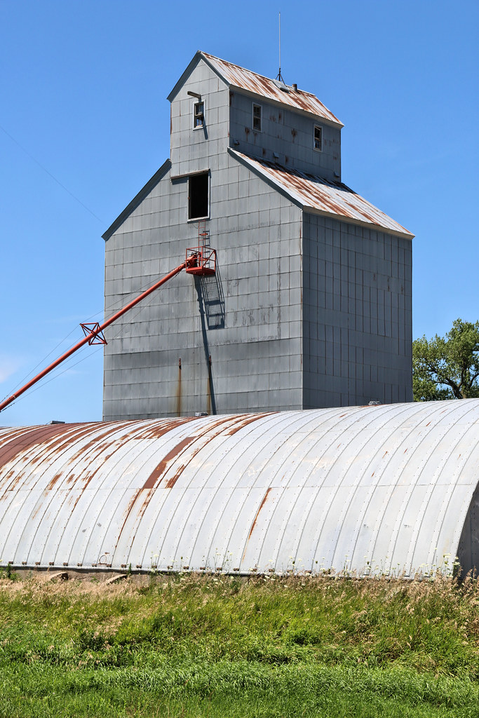
Grain Elevator - Allendorf, IA
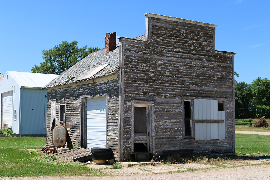
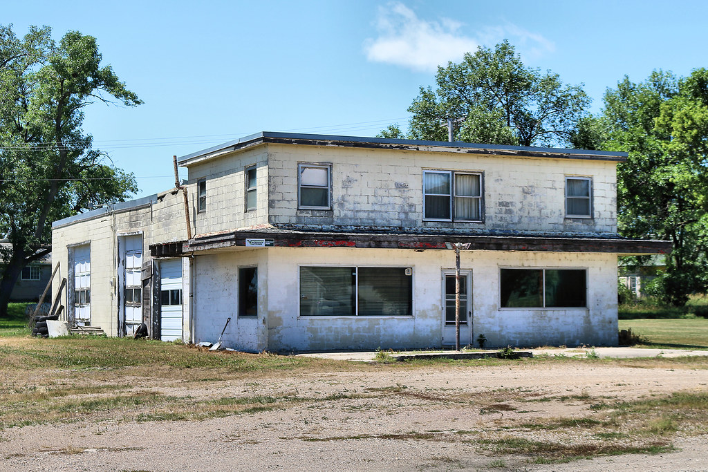
Storefront - Allendorf, IA
Gas Station - Allendorf, IA
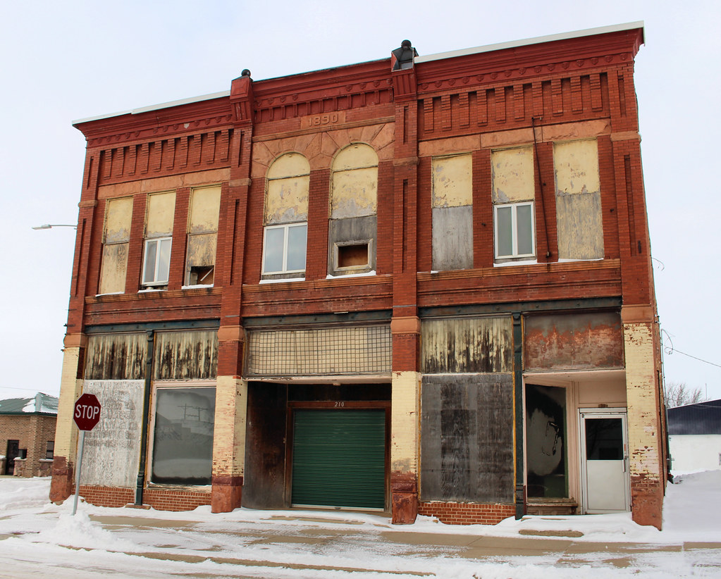
1890 Block - Sibley, IA
Downtown Block - Sibley, IA

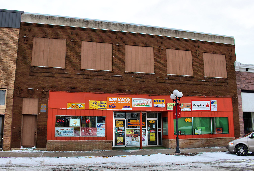
Karras Building - Sibley, IA

Downtown Building - Sibley, IA
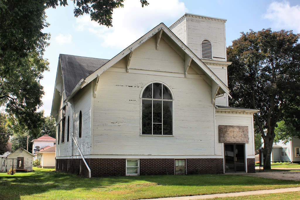
King of Grace Lutheran Church (Former) - Sibley, IA
Topographic Map of Osceola County, IA, USA
Find elevation by address:

Places in Osceola County, IA, USA:
Places near Osceola County, IA, USA:
Ocheyedan
Main St, Ocheyedan, IA, USA
Ocheyedan
Baker
Melvin
Main St, Melvin, IA, USA
Everly
N Main St, Everly, IA, USA
Lakefield, MN, USA
Lone Tree
Lakeville
Montgomery
Diamond Lake
Okoboji
rd Ave, Spirit Lake, IA, USA
Dickinson County
Summit
th St, Spirit Lake, IA, USA
Lakeshore Dr, Milford, IA, USA
Wahpeton
Recent Searches:
- Elevation of Corso Fratelli Cairoli, 35, Macerata MC, Italy
- Elevation of Tallevast Rd, Sarasota, FL, USA
- Elevation of 4th St E, Sonoma, CA, USA
- Elevation of Black Hollow Rd, Pennsdale, PA, USA
- Elevation of Oakland Ave, Williamsport, PA, USA
- Elevation of Pedrógão Grande, Portugal
- Elevation of Klee Dr, Martinsburg, WV, USA
- Elevation of Via Roma, Pieranica CR, Italy
- Elevation of Tavkvetili Mountain, Georgia
- Elevation of Hartfords Bluff Cir, Mt Pleasant, SC, USA