Elevation of Osage, KS, USA
Location: United States > Kansas > Labette County >
Longitude: -95.4568133
Latitude: 37.3212438
Elevation: 275m / 902feet
Barometric Pressure: 0KPa
Related Photos:
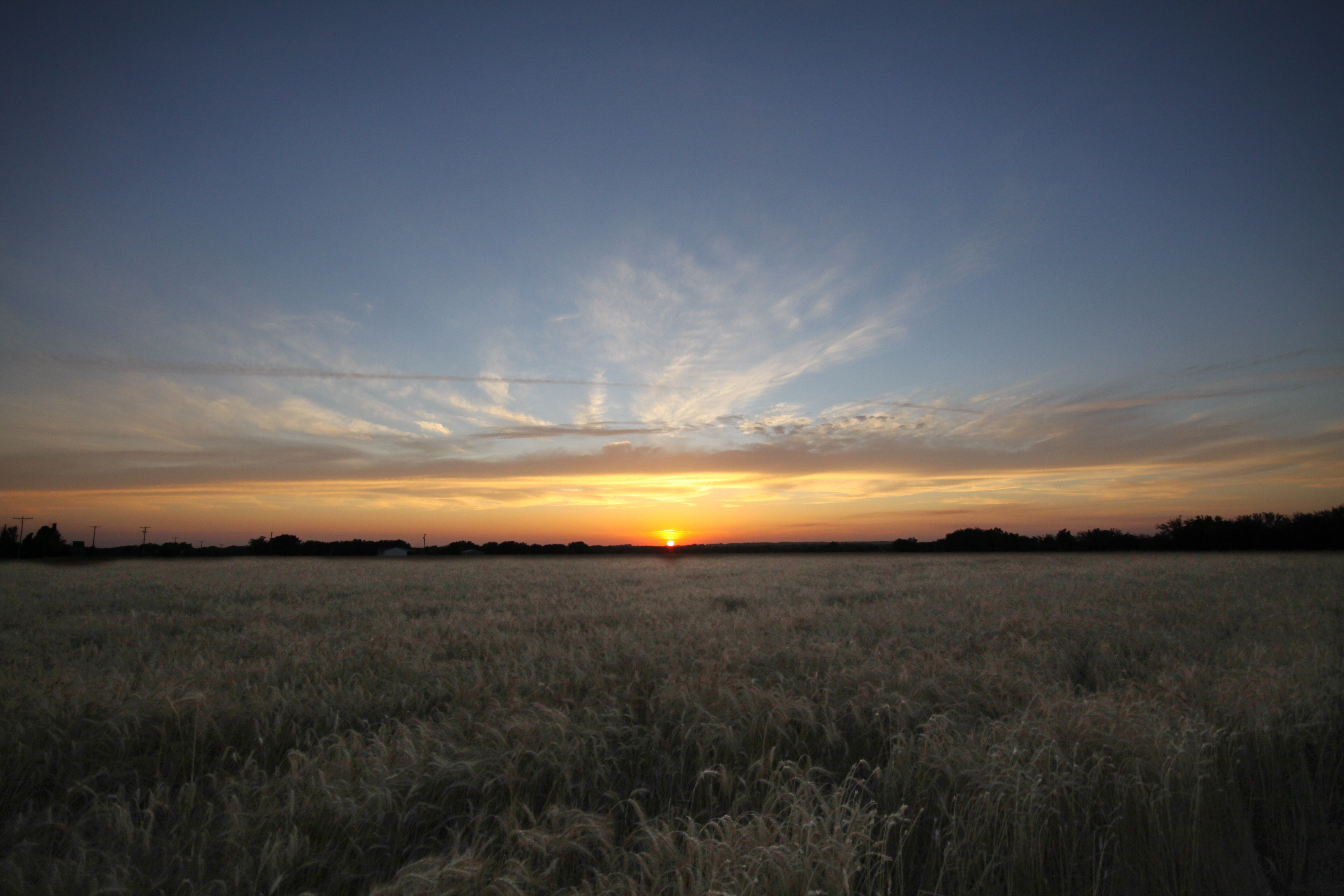
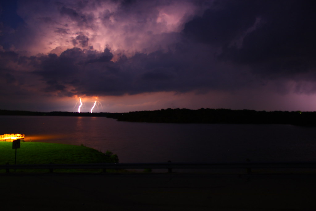
SEK SKY
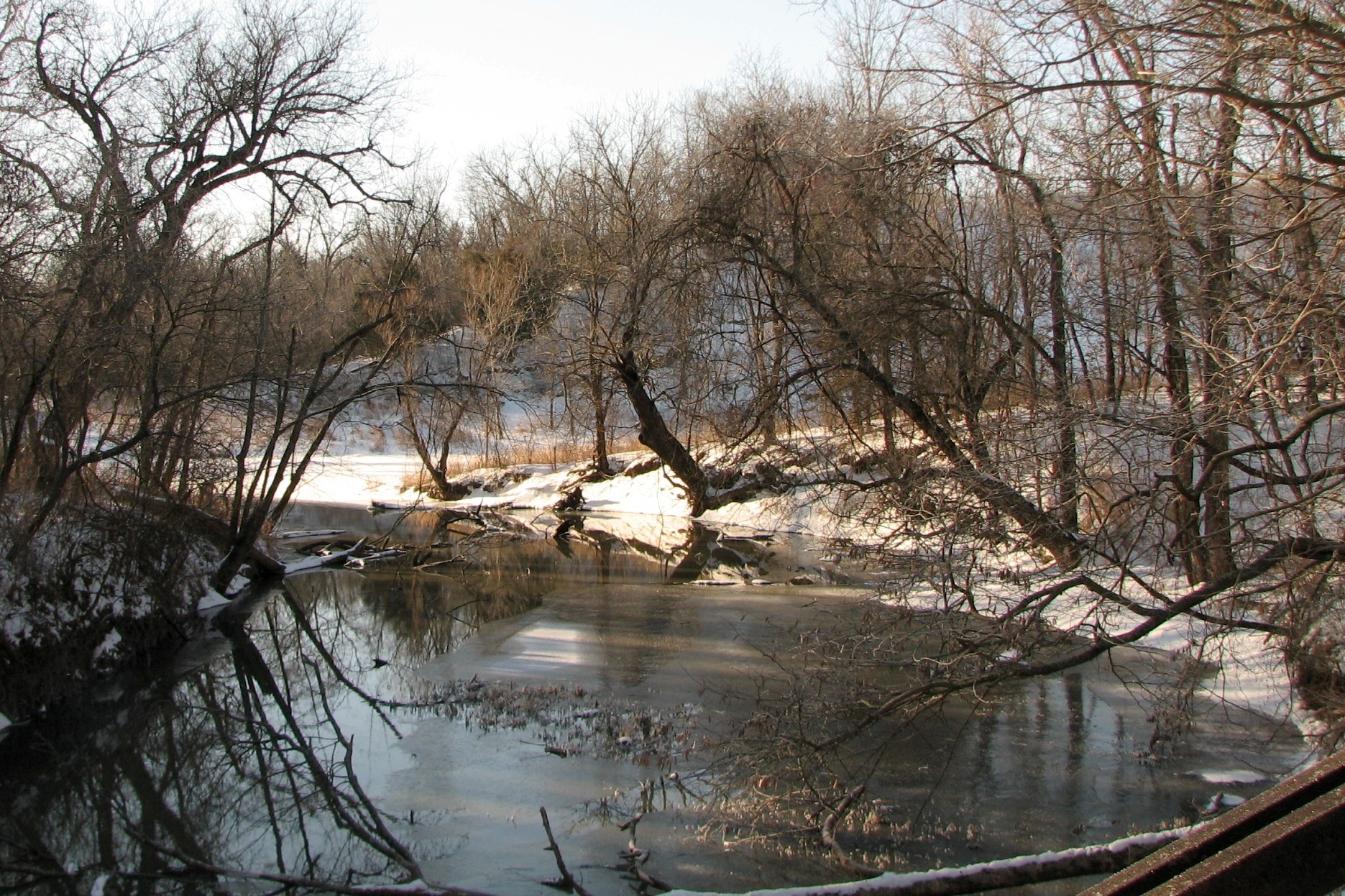
view from a bridge 2
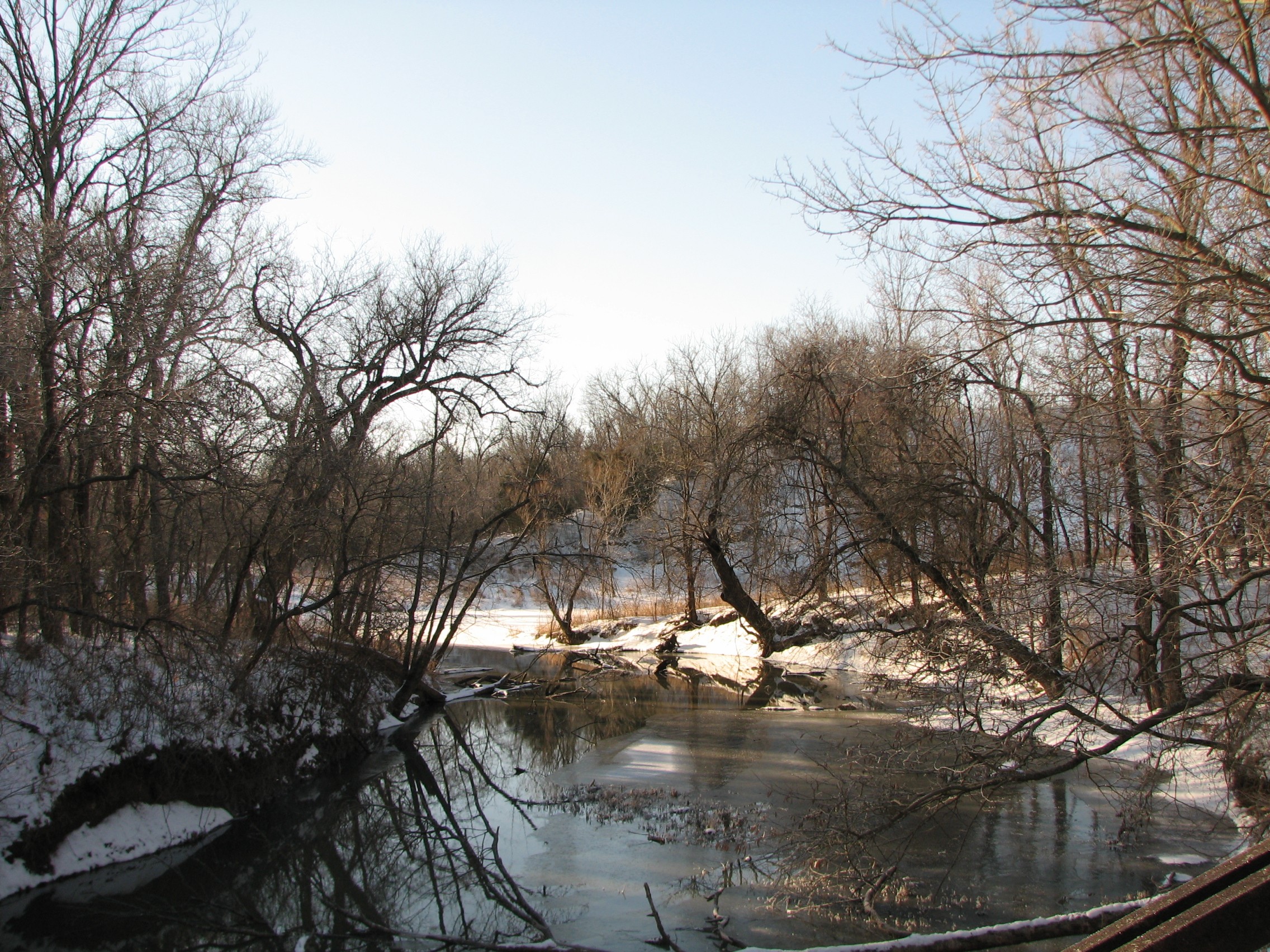
view from a bridge
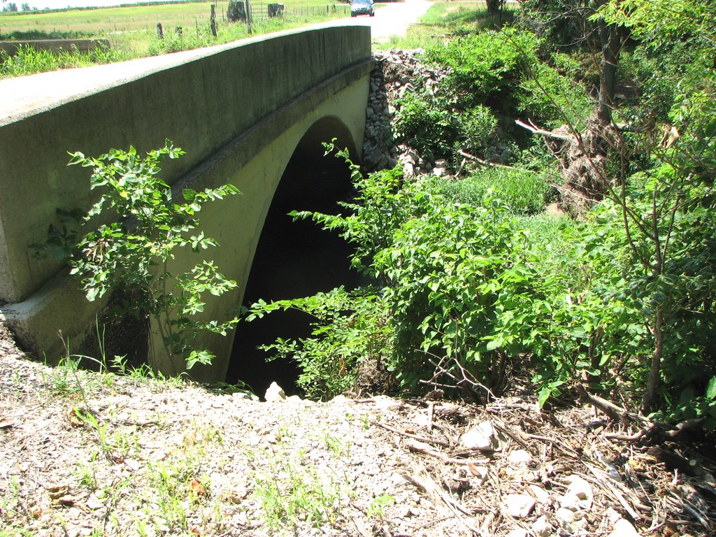
Arch View: Branch of Pumpkin Creek

Dream Lake
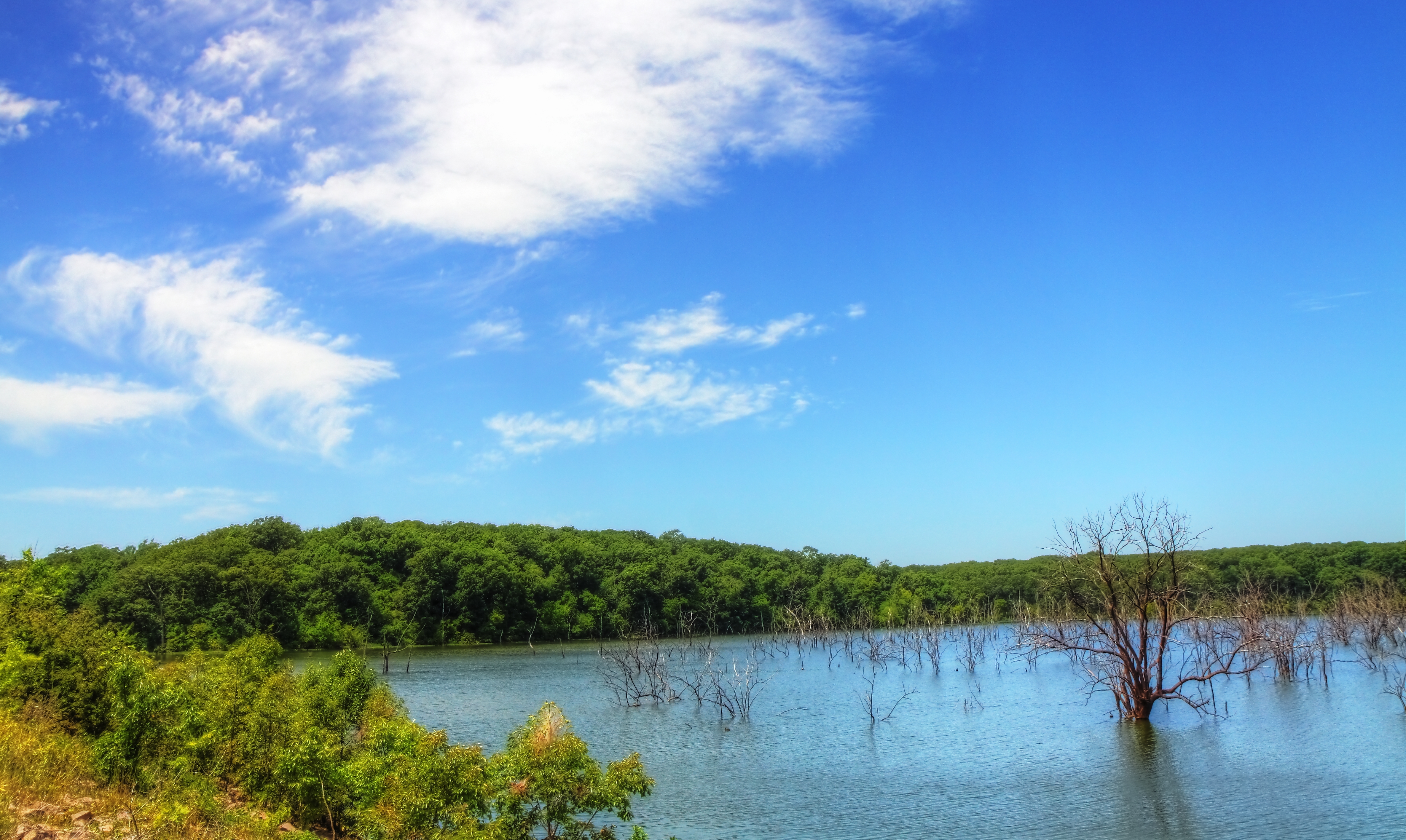
Big Hill Lake

A roadside shot in Southeast Kansas of the state flower.

Sunkissed Wheat
Big Hill Lake

Burned Over Nixon Trail
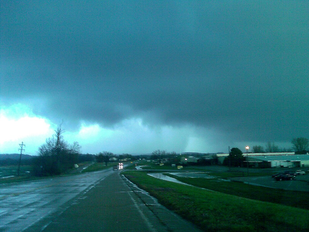
CELLPHONE PHOTO BLOG 3-31-08
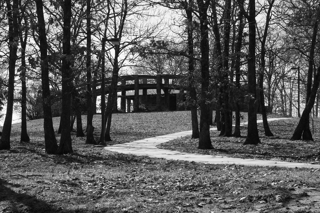
Big Hill Lake Overlook Bridge
Big Hill Lake

Parsons, KS Cemeteries

Parsons, KS Cemeteries

Mt. Olivet Cemetery - Parsons, KS

Mt. Olivet Cemetery - Parsons, KS

Amazing Sunset
Topographic Map of Osage, KS, USA
Find elevation by address:

Places in Osage, KS, USA:
Places near Osage, KS, USA:
900 Meadow Rd
Dennis
Gray Rd, Dennis, KS, USA
Parsons Tri-city Airport-ppf
755 21000 Rd
755 21000 Rd
777 21000 Rd
Cherry
Sunflower Farms Garden Center
The Cherryvale Bed & Breakfast
Selah 360 Day Spa
Mound Valley
Sko Railroad
Cherryvale
N Neosho St, Cherryvale, KS, USA
St Francis Xavier Catholic Church
Mound Valley
Hickory St, Mound Valley, KS, USA
Labette County
Elizabeth M. Bohr Custom Sewing And Tailoring
Recent Searches:
- Elevation of 10370, West 107th Circle, Westminster, Jefferson County, Colorado, 80021, USA
- Elevation of 611, Roman Road, Old Ford, Bow, London, England, E3 2RW, United Kingdom
- Elevation of 116, Beartown Road, Underhill, Chittenden County, Vermont, 05489, USA
- Elevation of Window Rock, Colfax County, New Mexico, 87714, USA
- Elevation of 4807, Rosecroft Street, Kempsville Gardens, Virginia Beach, Virginia, 23464, USA
- Elevation map of Matawinie, Quebec, Canada
- Elevation of Sainte-Émélie-de-l'Énergie, Matawinie, Quebec, Canada
- Elevation of Rue du Pont, Sainte-Émélie-de-l'Énergie, Matawinie, Quebec, J0K2K0, Canada
- Elevation of 8, Rue de Bécancour, Blainville, Thérèse-De Blainville, Quebec, J7B1N2, Canada
- Elevation of Wilmot Court North, 163, University Avenue West, Northdale, Waterloo, Region of Waterloo, Ontario, N2L6B6, Canada
- Elevation map of Panamá Province, Panama
- Elevation of Balboa, Panamá Province, Panama
- Elevation of San Miguel, Balboa, Panamá Province, Panama
- Elevation of Isla Gibraleón, San Miguel, Balboa, Panamá Province, Panama
- Elevation of 4655, Krischke Road, Schulenburg, Fayette County, Texas, 78956, USA
- Elevation of Carnegie Avenue, Downtown Cleveland, Cleveland, Cuyahoga County, Ohio, 44115, USA
- Elevation of Walhonding, Coshocton County, Ohio, USA
- Elevation of Clifton Down, Clifton, Bristol, City of Bristol, England, BS8 3HU, United Kingdom
- Elevation map of Auvergne-Rhône-Alpes, France
- Elevation map of Upper Savoy, Auvergne-Rhône-Alpes, France