Elevation of Ora Township, IL, USA
Location: United States > Illinois > Jackson County >
Longitude: -89.417464
Latitude: 37.9134385
Elevation: 133m / 436feet
Barometric Pressure: 100KPa
Elevation Map:
Satellite Map:
Related Photos:
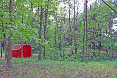
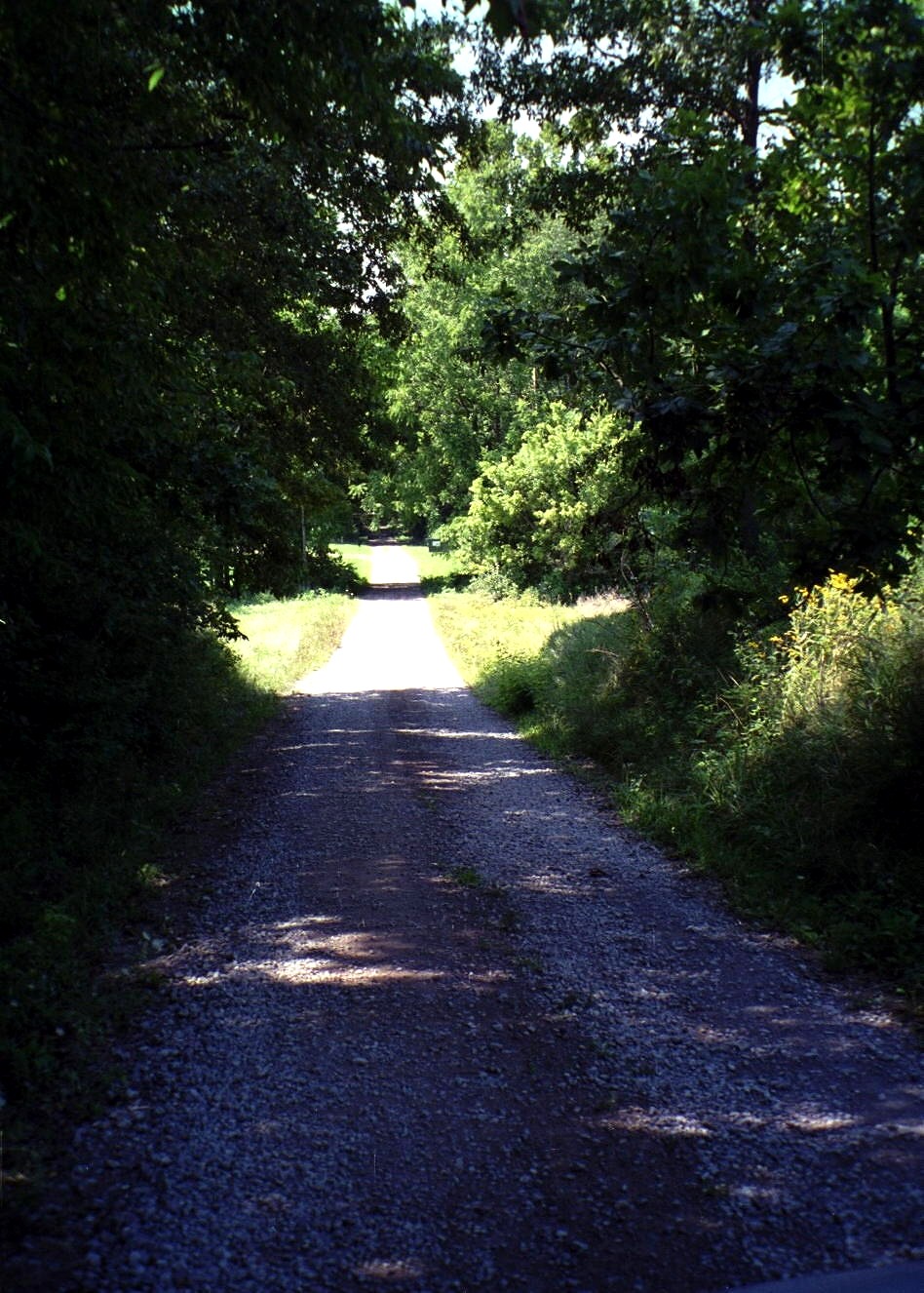
Red Shed, Shady Lane.

Kinkaid Lake Spillway Falls
2012-06-10 12.40.04
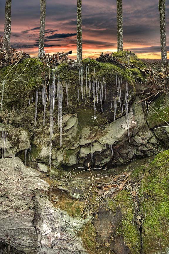
Nature thrives on cold

Sit beneath the walls of some old cave, or mossy nook. William Wordsworth

Nature always wears the colors of the spirit.
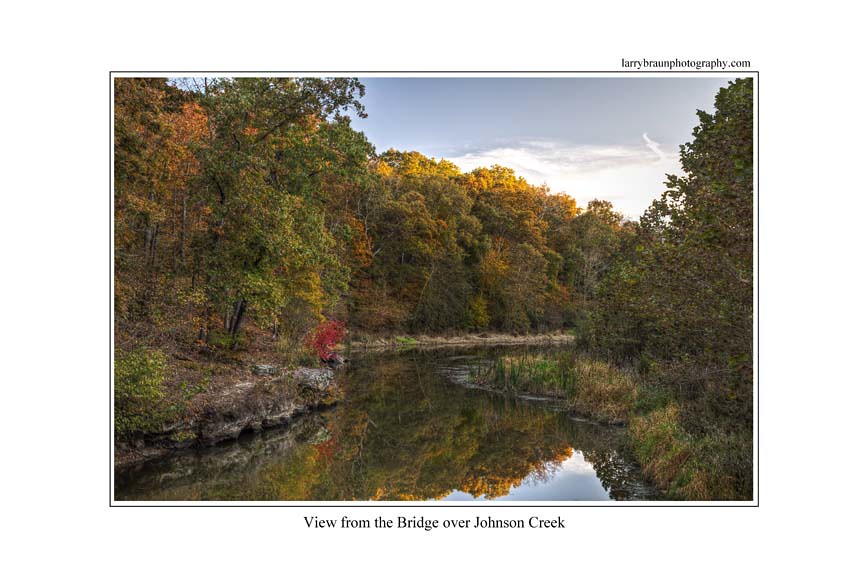
Bridge over Johnson Creek
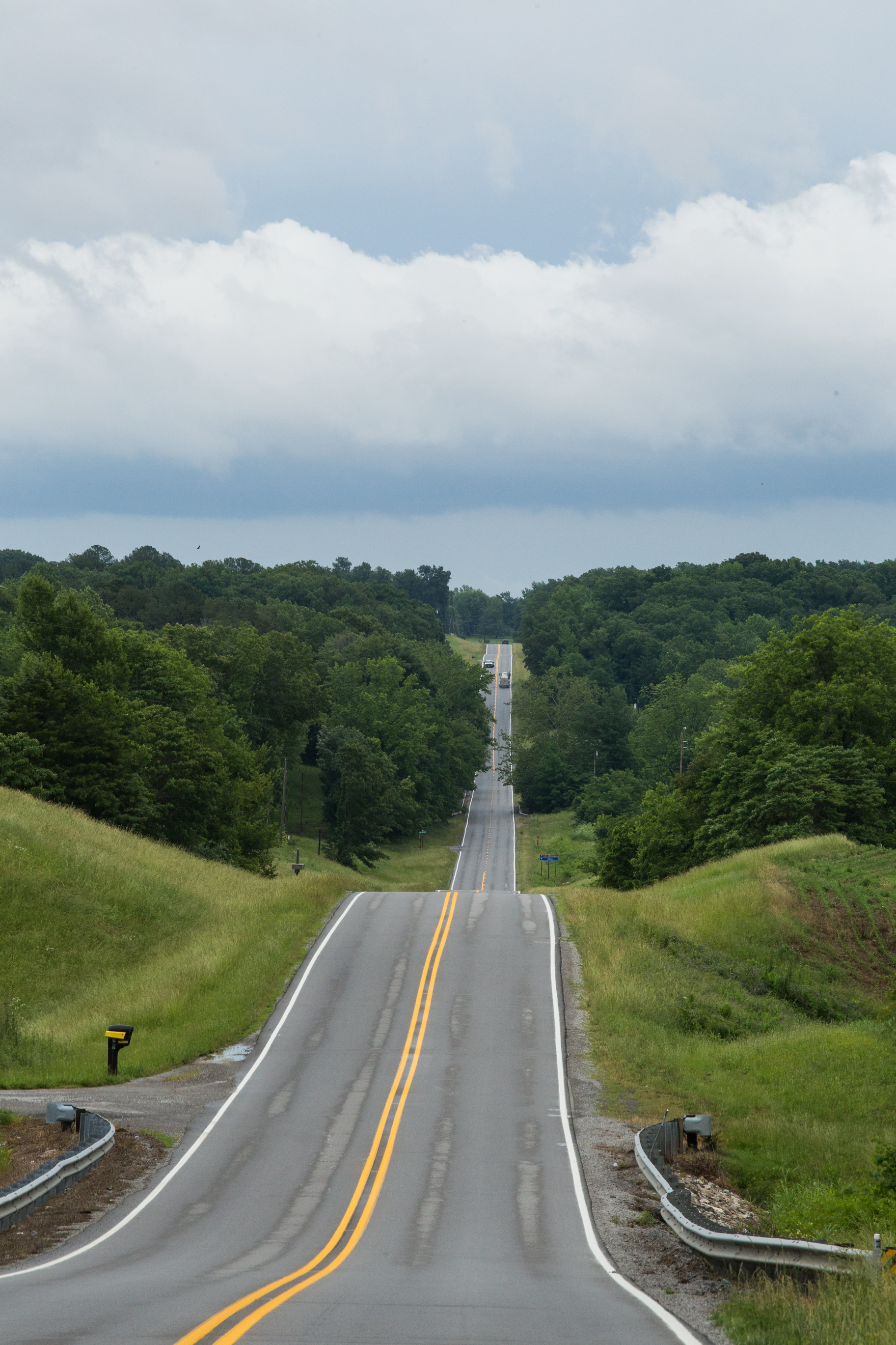
476596N Rohlfing Road

Kinkaid Lake
Fort De Chartres 2013-217
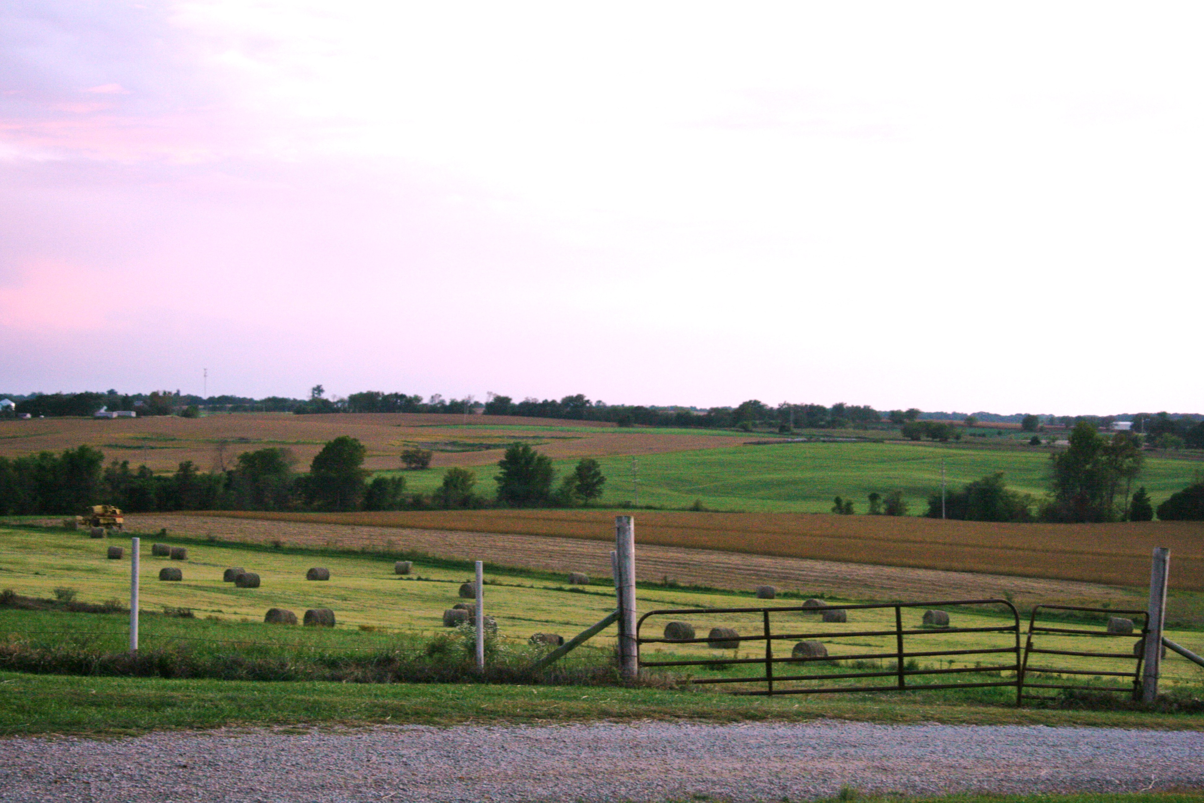
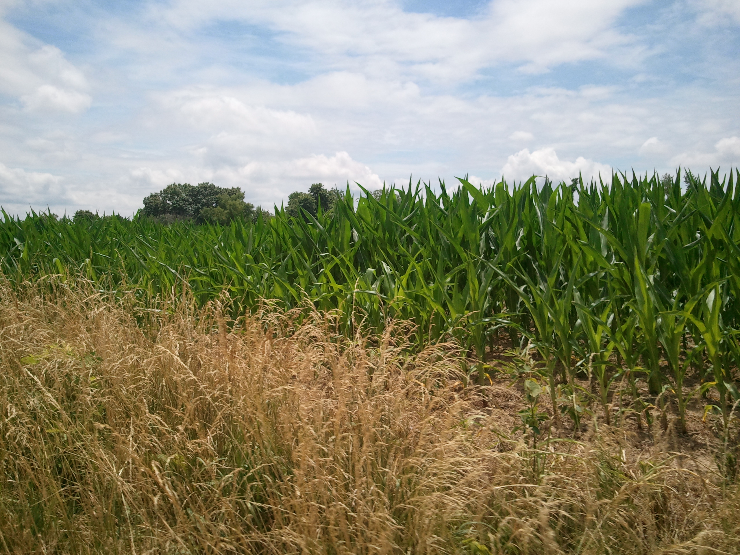
Southern Illinois Farm
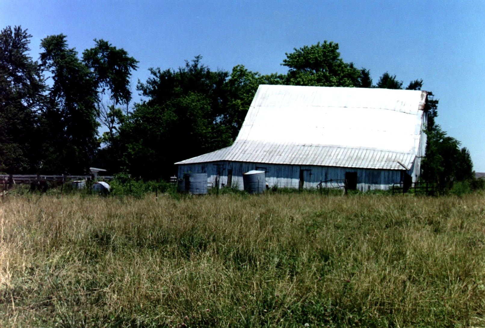
Barn in Illinois
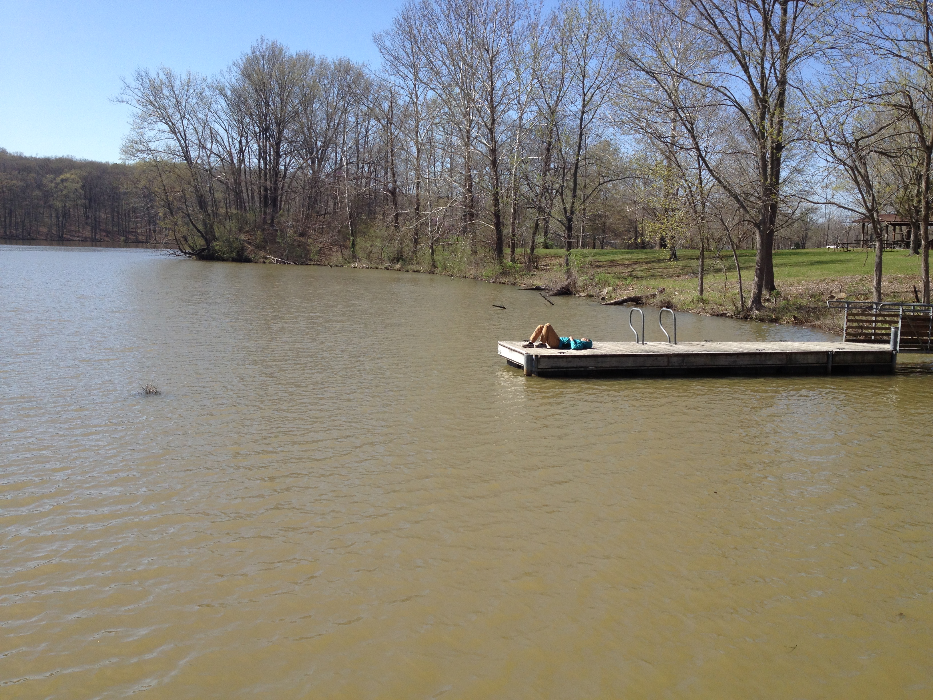
Drew at the End of the Dock
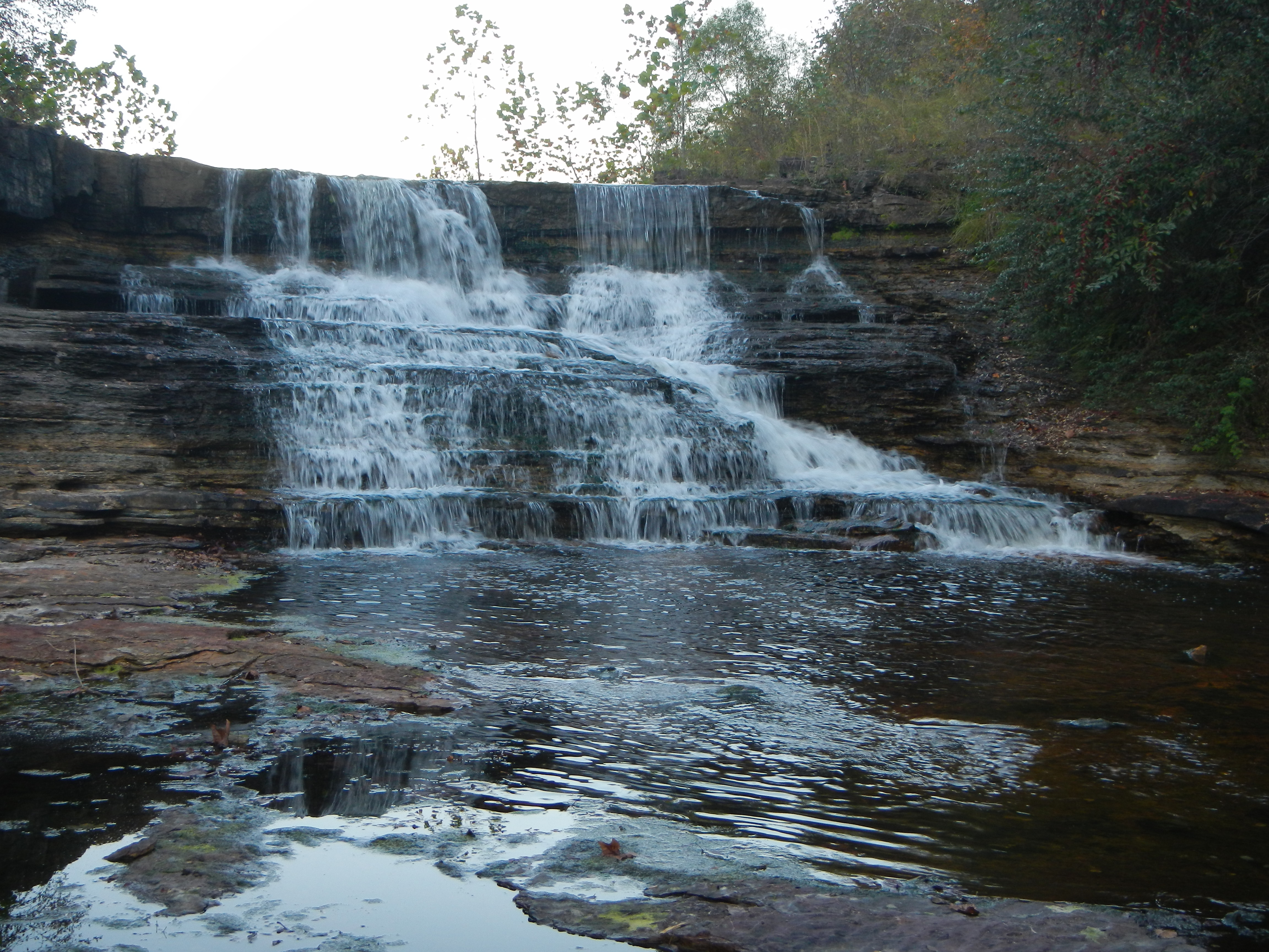
Falling water at the Kinkaid Lake Spillway.
Topographic Map of Ora Township, IL, USA
Find elevation by address:

Places near Ora Township, IL, USA:
172 Cub Ln
Ava
S 5th St, Ava, IL, USA
Vergennes
Cherry Ave, Vergennes, IL, USA
1279 Sharp Rock Rd
Vergennes Township
IL-13, Murphysboro, IL, USA
W Harrison Rd, Murphysboro, IL, USA
Somerset Township
46 Kincaid Hill Ln
49 Kincaid Hill Ln
Bradley Township
41 Westwood Ln
2229 Pine St
381 Il-151
381 Il-151
50 N 15th St
528 Lucier St
Sand Ridge Township
Recent Searches:
- Elevation of Corso Fratelli Cairoli, 35, Macerata MC, Italy
- Elevation of Tallevast Rd, Sarasota, FL, USA
- Elevation of 4th St E, Sonoma, CA, USA
- Elevation of Black Hollow Rd, Pennsdale, PA, USA
- Elevation of Oakland Ave, Williamsport, PA, USA
- Elevation of Pedrógão Grande, Portugal
- Elevation of Klee Dr, Martinsburg, WV, USA
- Elevation of Via Roma, Pieranica CR, Italy
- Elevation of Tavkvetili Mountain, Georgia
- Elevation of Hartfords Bluff Cir, Mt Pleasant, SC, USA