Elevation of Ava, IL, USA
Location: United States > Illinois > Jackson County > Bradley Township >
Longitude: -89.494816
Latitude: 37.8883846
Elevation: 184m / 604feet
Barometric Pressure: 99KPa
Elevation Map:
Satellite Map:
Related Photos:
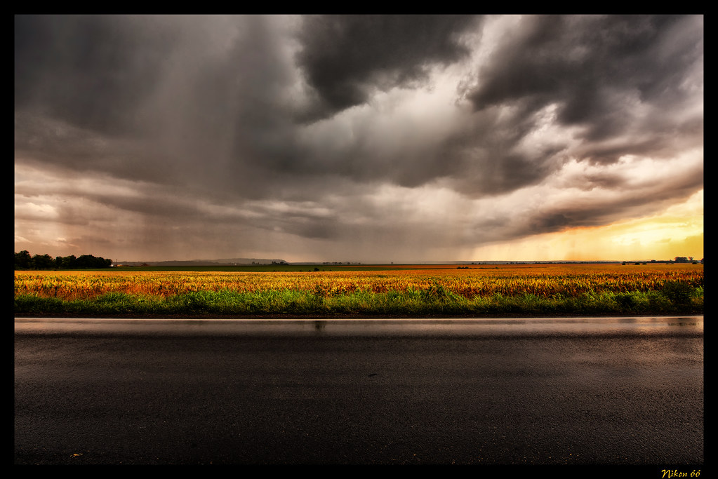
Storm Approaching the Great River Road
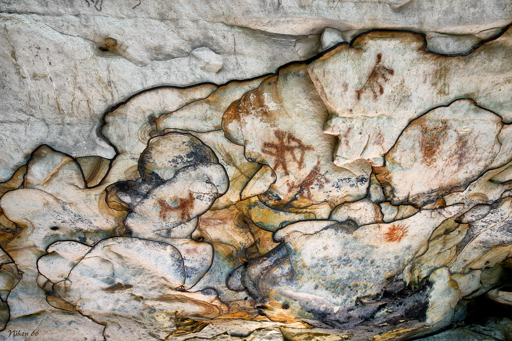
Pictographs and Liesegang Bands - Piney Creek Ravine State Natural Area
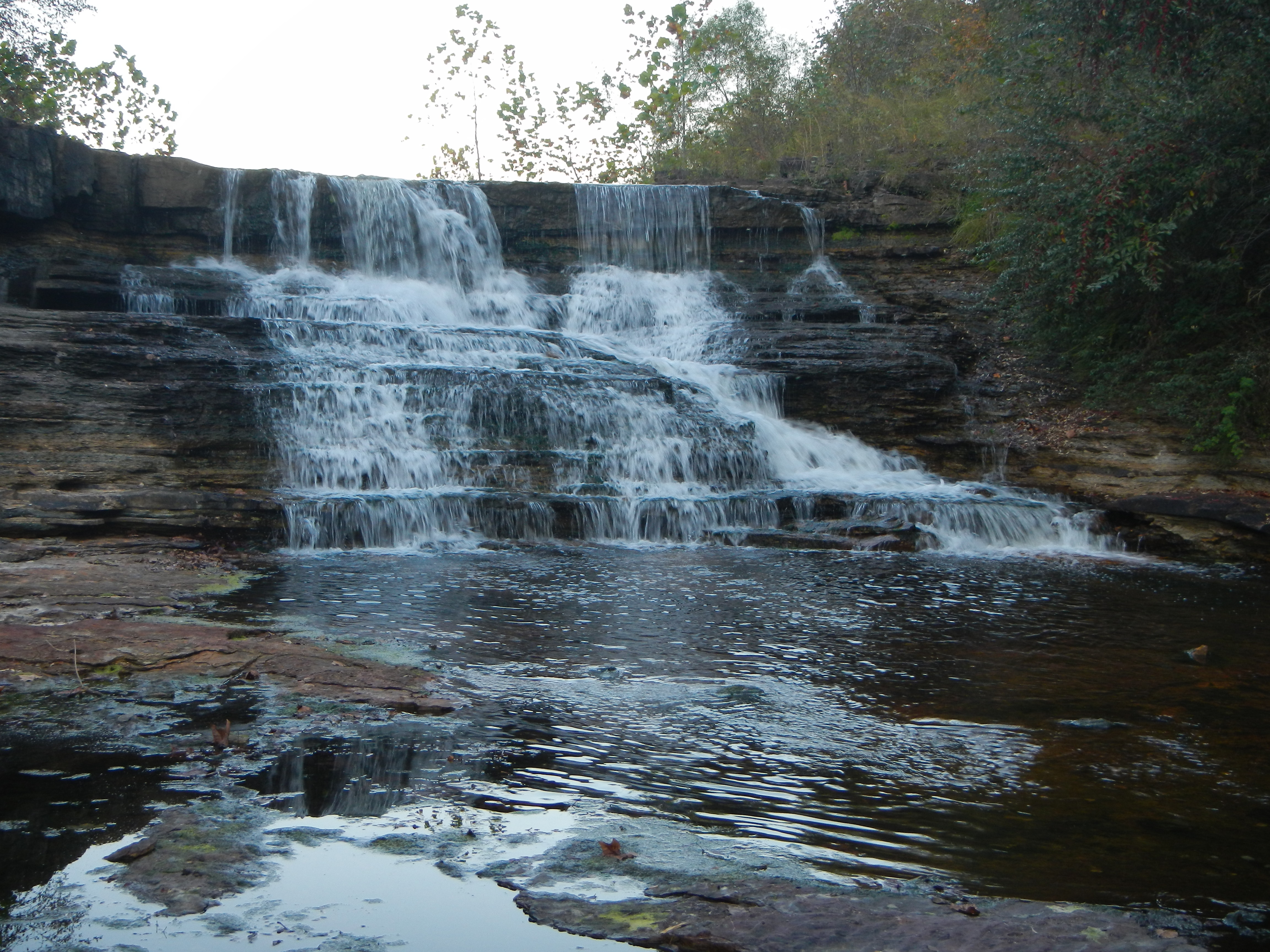
Falling water at the Kinkaid Lake Spillway.

Murphysboro Lake Selfie
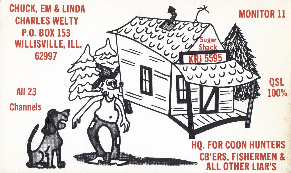
The Weltys - Willisville, Illinois

Nighttime beers at Scratch.
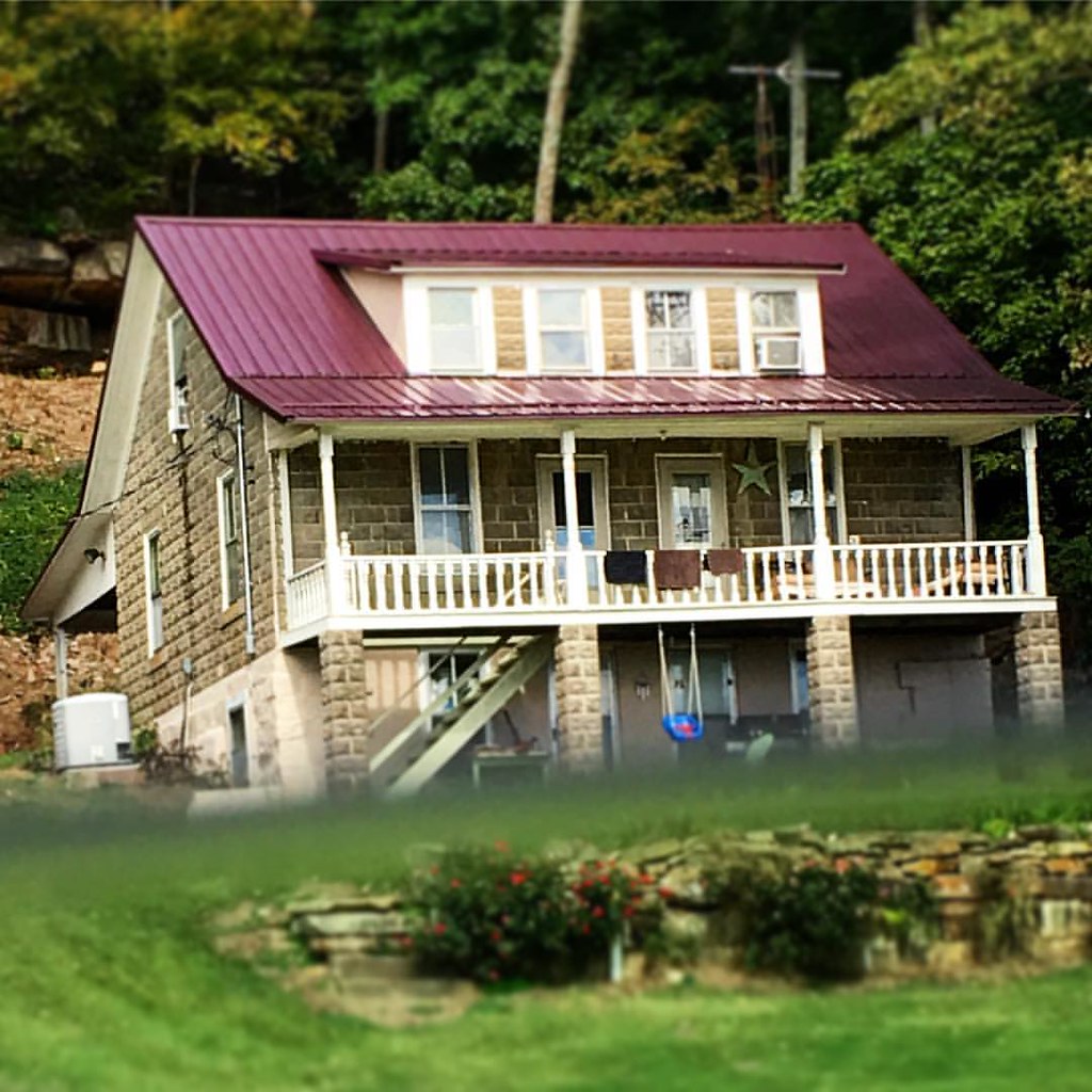
Couldn't get my hand out the window but this house is BEAUTIFUL.
Topographic Map of Ava, IL, USA
Find elevation by address:

Places in Ava, IL, USA:
Places near Ava, IL, USA:
S 5th St, Ava, IL, USA
1279 Sharp Rock Rd
172 Cub Ln
Bradley Township
Ora Township
381 Il-151
381 Il-151
46 Kincaid Hill Ln
49 Kincaid Hill Ln
Vergennes
Cherry Ave, Vergennes, IL, USA
Sand Ridge Township
Gorham
Washington St, Gorham, IL, USA
41 Westwood Ln
W Harrison Rd, Murphysboro, IL, USA
Rockwood Precinct
IL-13, Murphysboro, IL, USA
2229 Pine St
Vergennes Township
Recent Searches:
- Elevation of Corso Fratelli Cairoli, 35, Macerata MC, Italy
- Elevation of Tallevast Rd, Sarasota, FL, USA
- Elevation of 4th St E, Sonoma, CA, USA
- Elevation of Black Hollow Rd, Pennsdale, PA, USA
- Elevation of Oakland Ave, Williamsport, PA, USA
- Elevation of Pedrógão Grande, Portugal
- Elevation of Klee Dr, Martinsburg, WV, USA
- Elevation of Via Roma, Pieranica CR, Italy
- Elevation of Tavkvetili Mountain, Georgia
- Elevation of Hartfords Bluff Cir, Mt Pleasant, SC, USA