Elevation of Ololulunga, Kenya
Location: Kenya > Narok County >
Longitude: 35.6640447
Latitude: -1.003036
Elevation: 1952m / 6404feet
Barometric Pressure: 80KPa
Elevation Map:
Satellite Map:
Related Photos:
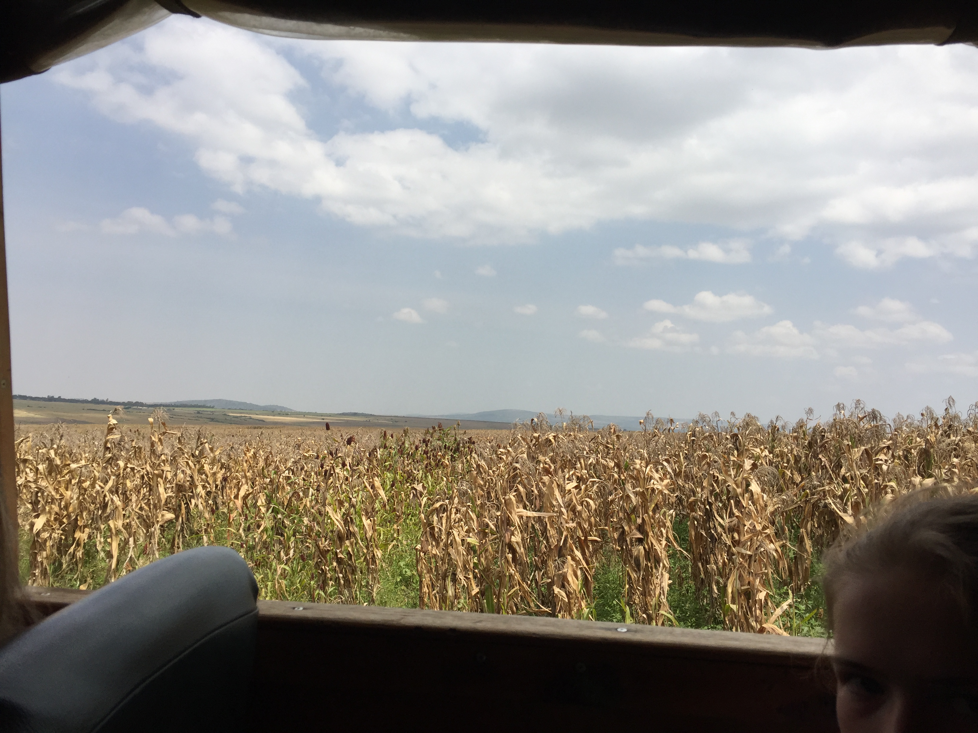
IMG3611
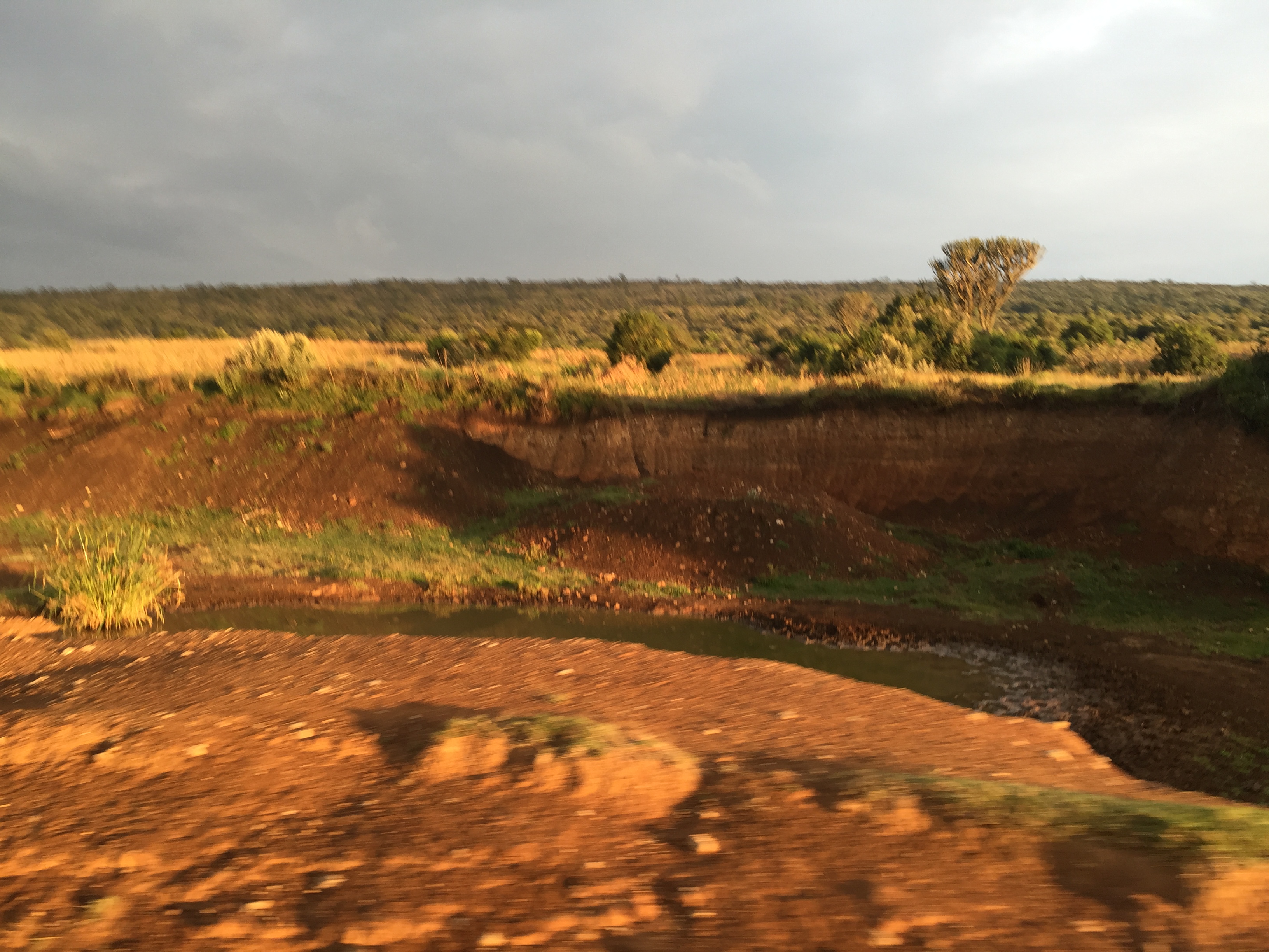
IMG3634
Topographic Map of Ololulunga, Kenya
Find elevation by address:

Places near Ololulunga, Kenya:
Narok Town
Narok County
Mara Serena Safari Lodge
Narok
Bomet
Kaboson
Bomet County
Siongiroi
Fairmont Mara Safari Club
Kugerwet
Aic Komirmir
Chebara
Chebara Primary School
Kimolwet Dispensary
Koyaki
Olare Mara Kempinski Masai Mara
Migingo
Porini Lion Camp
Kianjoya Primary School
Nakuru
Recent Searches:
- Elevation of Corso Fratelli Cairoli, 35, Macerata MC, Italy
- Elevation of Tallevast Rd, Sarasota, FL, USA
- Elevation of 4th St E, Sonoma, CA, USA
- Elevation of Black Hollow Rd, Pennsdale, PA, USA
- Elevation of Oakland Ave, Williamsport, PA, USA
- Elevation of Pedrógão Grande, Portugal
- Elevation of Klee Dr, Martinsburg, WV, USA
- Elevation of Via Roma, Pieranica CR, Italy
- Elevation of Tavkvetili Mountain, Georgia
- Elevation of Hartfords Bluff Cir, Mt Pleasant, SC, USA