Elevation of Oliver Ave, Hastings, FL, USA
Location: United States > Florida > St. Johns County > Hastings >
Longitude: -81.453422
Latitude: 29.6422167
Elevation: -10000m / -32808feet
Barometric Pressure: 295KPa
Elevation Map:
Satellite Map:
Related Photos:
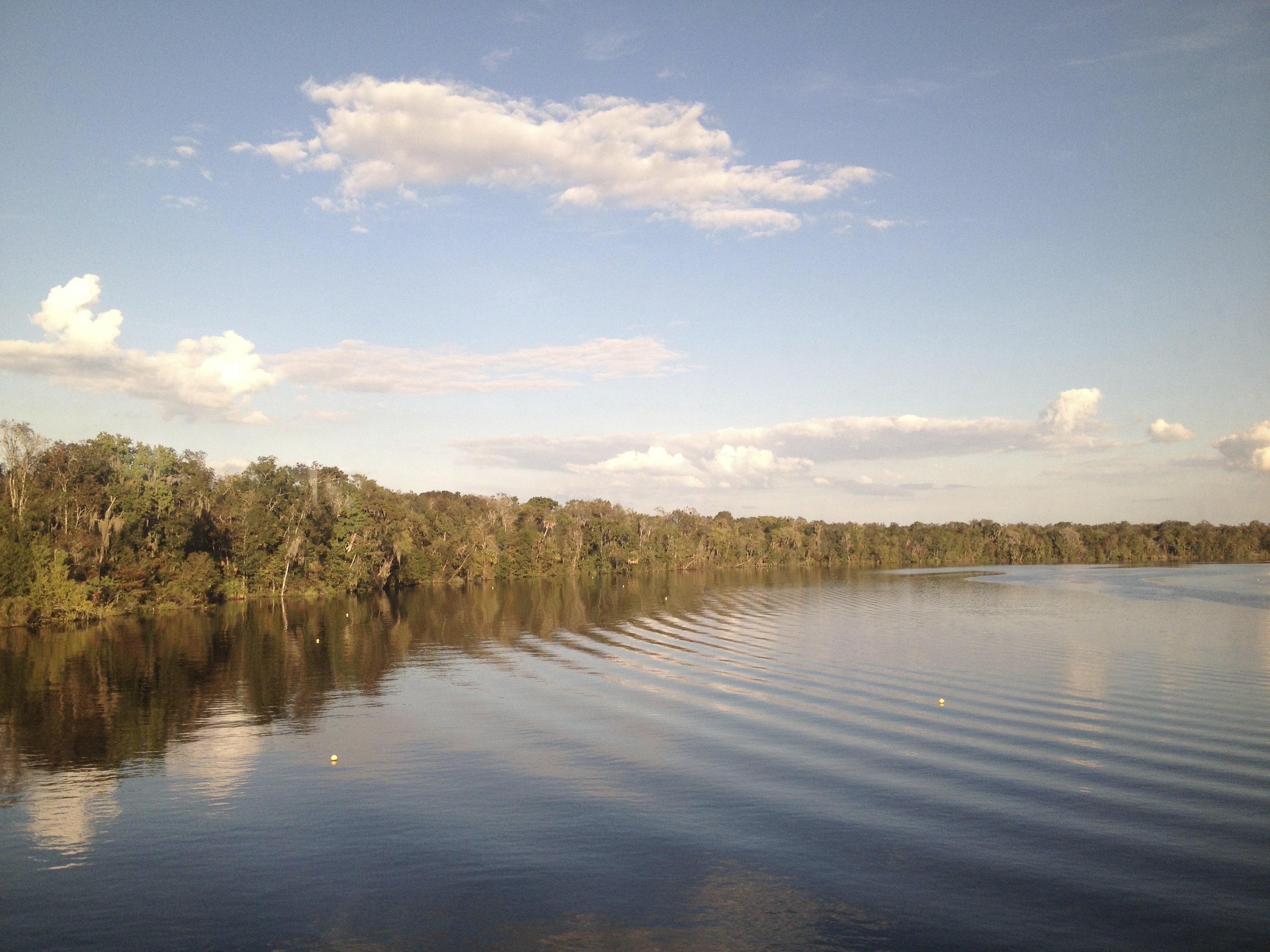
Crossing the St. John's River just north of Palatka FL

Not broken, just cracked

Looking east

Captins log, 14 may

Long Term Parking

To Federal Point

Love these #trees against the #blue #sky. #roadtrip
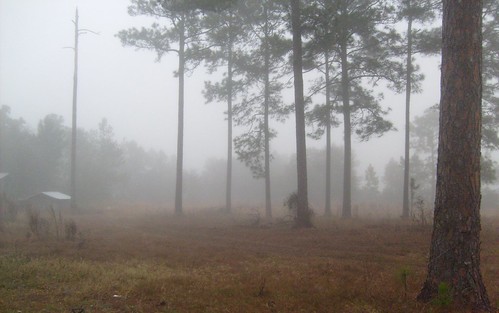
The Fog Comes In...

F3040150_HDR-348.jpg

Palatka Riverfront

Corn for days and daze. #igersjax #sykesfarm #cornmaze #nofilter

I happened upon some awesome sky yesterday. This 8 image stitch was shot high above a farm in Elkton, FL. #iflydji #djicreators #gopro #hero3plus #djiphantom #igersjax #igersstaugustine #igersflorida #pano #squareready

State Road 207 1

Barn (Sanchez Homestead) Spuds FL
Topographic Map of Oliver Ave, Hastings, FL, USA
Find elevation by address:

Places near Oliver Ave, Hastings, FL, USA:
10225 Mcmahon Ave
4405 Alvin St
10640 Stycket Ave
4950 Donald St
Vaughn Avenue
9795 Amos Ave
9795 Amos Ave
9795 Amos Ave
9795 Amos Ave
9795 Amos Ave
9795 Amos Ave
9795 Amos Ave
9795 Amos Ave
9795 Amos Ave
9775 Luther Beck Rd
9695 Amos Ave
6906 Amos Ave
Potatoe Ville Rd, Hastings, FL, USA
Yelvington Rd, East Palatka, FL, USA
234 Cracker Swamp Dirt Rd
Recent Searches:
- Elevation of Corso Fratelli Cairoli, 35, Macerata MC, Italy
- Elevation of Tallevast Rd, Sarasota, FL, USA
- Elevation of 4th St E, Sonoma, CA, USA
- Elevation of Black Hollow Rd, Pennsdale, PA, USA
- Elevation of Oakland Ave, Williamsport, PA, USA
- Elevation of Pedrógão Grande, Portugal
- Elevation of Klee Dr, Martinsburg, WV, USA
- Elevation of Via Roma, Pieranica CR, Italy
- Elevation of Tavkvetili Mountain, Georgia
- Elevation of Hartfords Bluff Cir, Mt Pleasant, SC, USA